20의 브레이 듄스가지 명소 & 주요 장소
브레이 듄스에는 둘러볼 만한 장소가 많답니다. 하이킹 또는 사이클링을 좋아한다면 브레이 듄스에 숨겨진 20
가지 보석을 만날 수 있을 거예요. 이 지역의 주요 명소를 살펴보면서 다음 모험을 계획해보세요.
마지막 업데이트: 8월 30, 2026

Maerebrug(마에르 다리) — 누이프포트‑덩케르크 운하 위
하이라이트 • 다리
번역자 Google •
팁에 의해

이런 장소를 발견하려면 지금 가입하세요
최고의 싱글 트랙, 봉우리 및 다양한 흥미로운 야외 장소에 대한 추천을 받아보세요.
무료 회원 가입
Grenspad와 1819년 경계 표지석에 위치한 벨기에–프랑스 국경
하이라이트 • 기념물
번역자 Google •
팁에 의해

크라케엘듄 자연 보호구역
하이라이트 • 자연
번역자 Google •
팁에 의해


오늘 무료 계정으로 시작하세요
다음 모험이 기다리고 있어요.
로그인 또는 가입하기

브레이 듄스 주변의 다른 모험

커뮤니티 팁

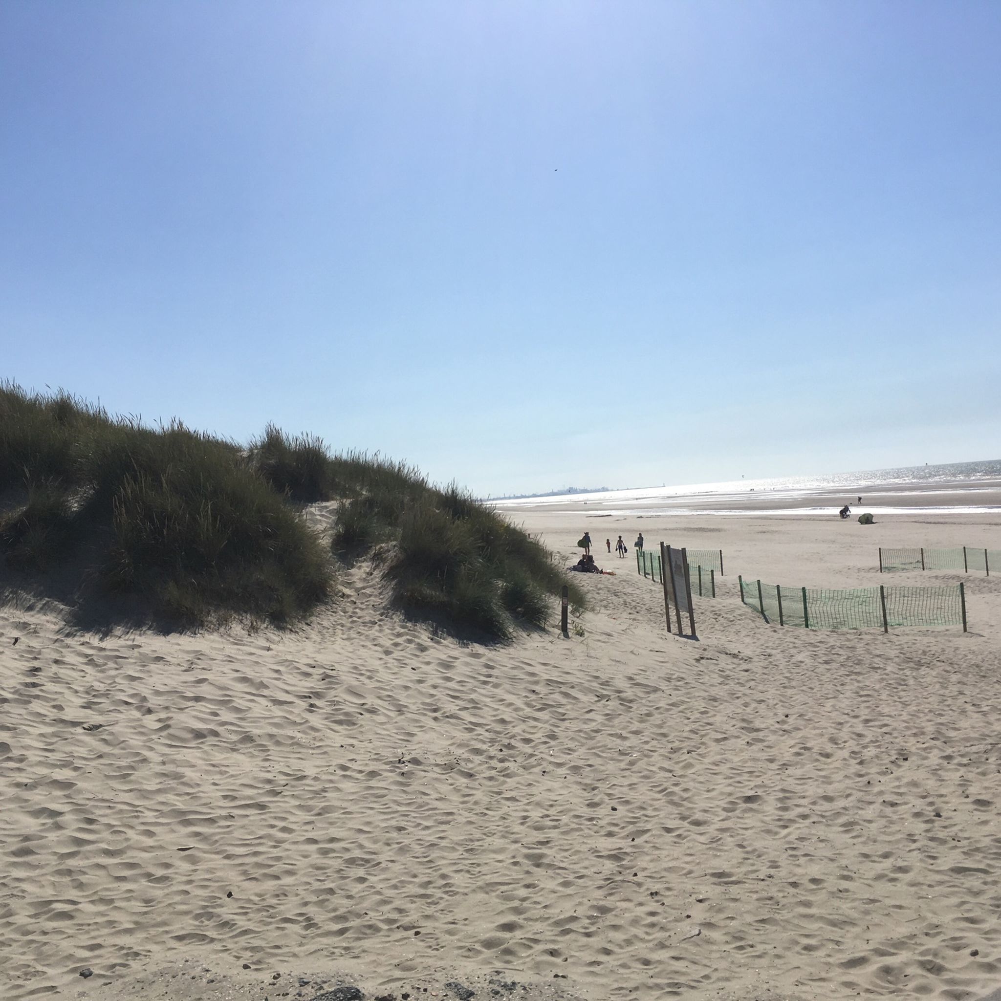
First of all, this boundary marker on the beach is completely new, as an earlier one was irreparably damaged in 2021. The date and initials refer to the brief period from 1814 to 1830 when France bordered the Netherlands. The former boundary marker was first erected in 1819. Now, this boundary marker 2.0 marks the border between Belgium and France. The point also indicates the westernmost point of Belgium combined with the northernmost point of mainland France.
5
0

The Maerebrug in De Panne is an elegant steel bridge spanning the Nieuwpoort–Dunkirk Canal and playing a vital role in the Westhoek recreational network. Designed with gentle slopes on both sides, it is easily accessible for cyclists, walkers, and horse riders. With a width of four meters and a span of 33 meters, the bridge offers safe and comfortable passage over the water and forms a link between Belgian and French nature reserves.
1
0

Currently no flags to be seen
2
1

Nature reserve. You're pretty much alone here.
3
0

Impressive buildings, cafes and parks invite you to linger
5
1

The Maerebrug was installed in 2013 as part of the functional and recreational cross-border project Dunkirk-De Panne and is a fixed, steel bridge for cyclists, pedestrians and horse riders. There are gentle access ramps on both sides of the bridge so that road users can use the bridge easily. The bridge is 4 meters wide and spans a length of 33 meters. The construction of the bridge was integrated into the rural environment as much as possible. The bridge was given the name 'Maerebrug' as a reference to the connection that this bridge makes to the two parts of the Maerestraat, once one whole, but cut in two by the construction of the Nieuwpoort-Duinkerke canal. 'Maere' refers to 'mer', 'mar' (sea) and 'Moere' (so between the sea and the marshes).
3
1
Every Wednesday, the weekly market takes place from 8 a.m. to 1 p.m. on the Grote Markt. Numerous market stallholders present their wares. The range is diverse, ranging from plants and flowers, textiles, vegetables and fruit to dairy products. The weekly market also takes place if Wednesday falls on a public holiday, with the exception of January 1, November 1 or December 25.
7
2

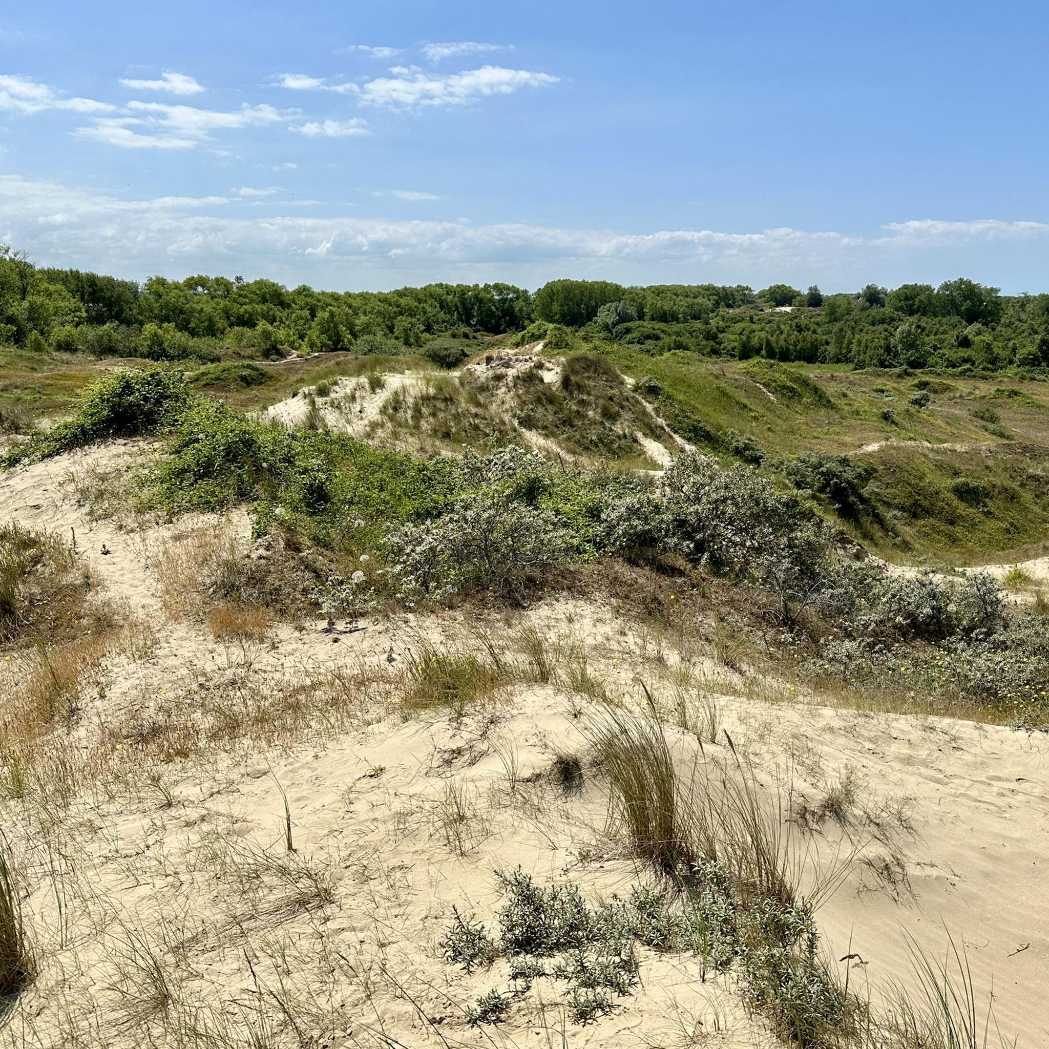
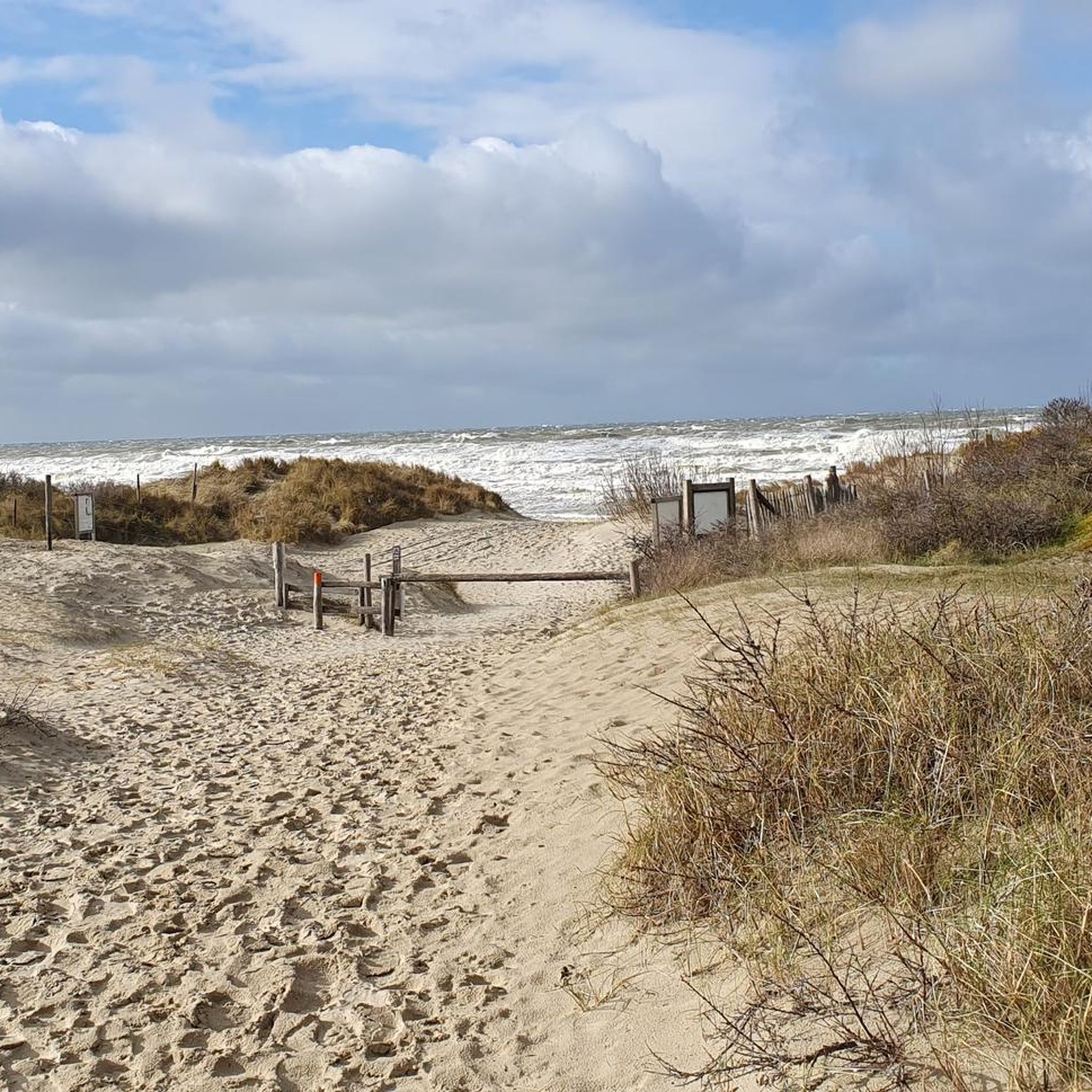
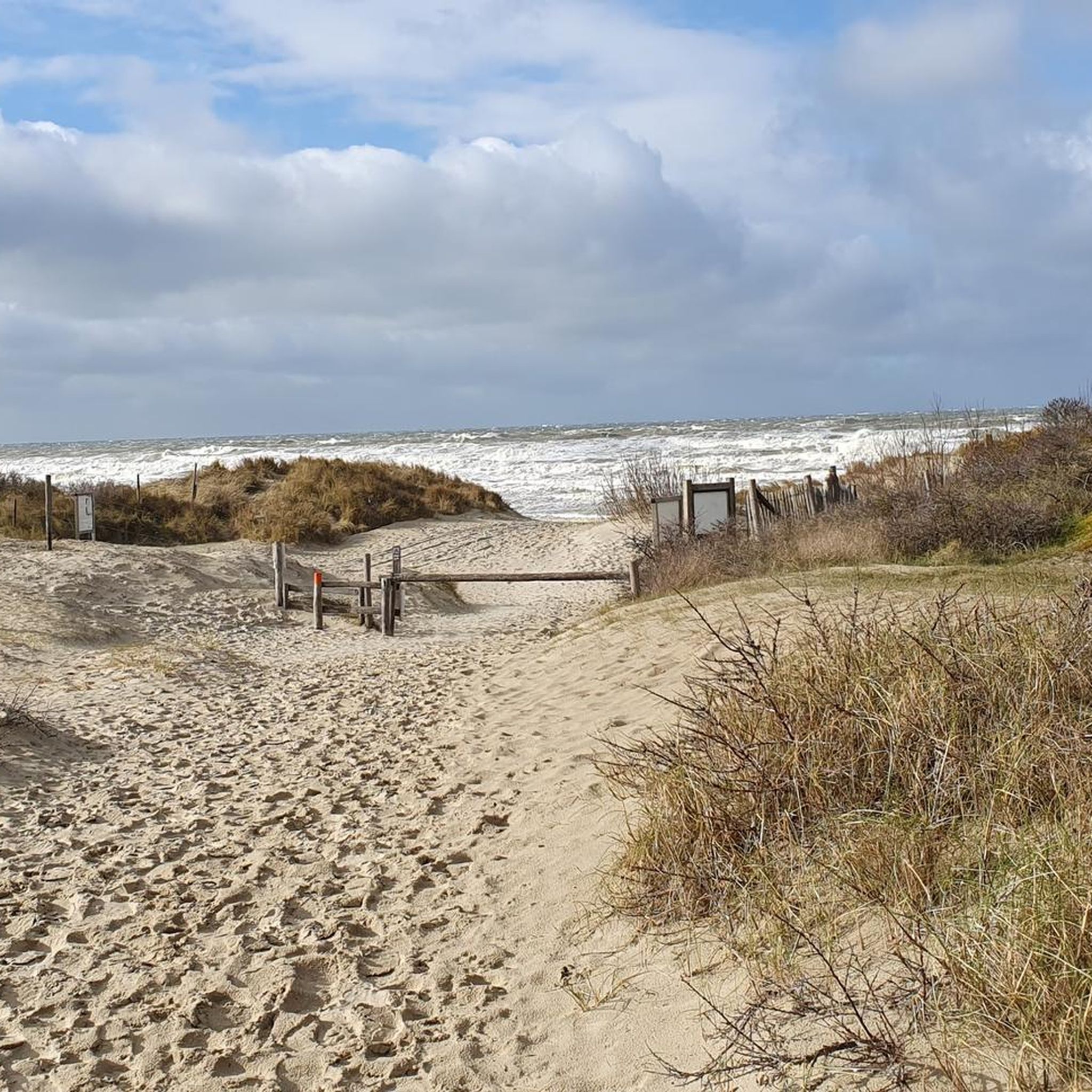
Together with the IJzermonding and the Zwin, the Krakeelduinen are part of the Natura 2000 area Dune Areas. After WWII the dunes were used as a water extraction area, but nowadays the dune area is being restored to its natural glory. You will now find Scottish Blackface sheep grazing the area and since the concrete has been removed the sand can flow freely again.
3
0
브레이 듄스 주변에서 가장 인기 있는 명소


더 살펴보기
찾고 있는 하이라이트를 아직 못 찾으셨나요? 다른 지역의 주요 명소 가이드를 확인해보세요:
