20의 크루지가지 명소 & 주요 장소
크루지에는 둘러볼 만한 장소가 많답니다. 하이킹 또는 사이클링을 좋아한다면 크루지에 숨겨진 20
가지 보석을 만날 수 있을 거예요. 이 지역의 주요 명소를 살펴보면서 다음 모험을 계획해보세요.
마지막 업데이트: 9월 13, 2026
르 포르 뒤 소메일
하이라이트 • 정착지
번역자 Google •
팁에 의해

운하 뒤 미디와 운하 드 라 로빈 연결하기
하이라이트 • 기타
번역자 Google •
팁에 의해

이런 장소를 발견하려면 지금 가입하세요
최고의 싱글 트랙, 봉우리 및 다양한 흥미로운 야외 장소에 대한 추천을 받아보세요.
방테낙-엔-미네르부아 근처의 운하 뒤 미디
하이라이트 • 기타
번역자 Google •
팁에 의해

Gailhousty 갑문 및 방수로
하이라이트 • 기념물
번역자 Google •
팁에 의해

오늘 무료 계정으로 시작하세요
다음 모험이 기다리고 있어요.
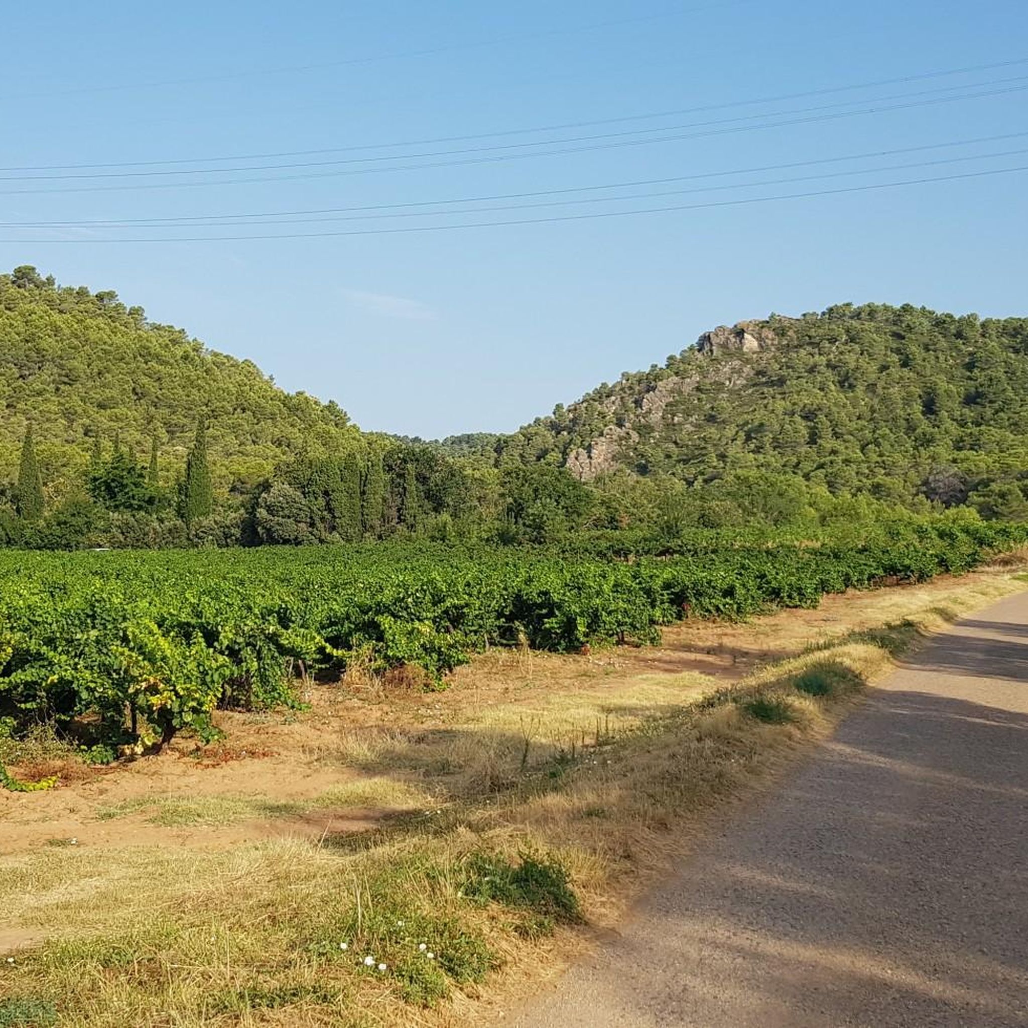
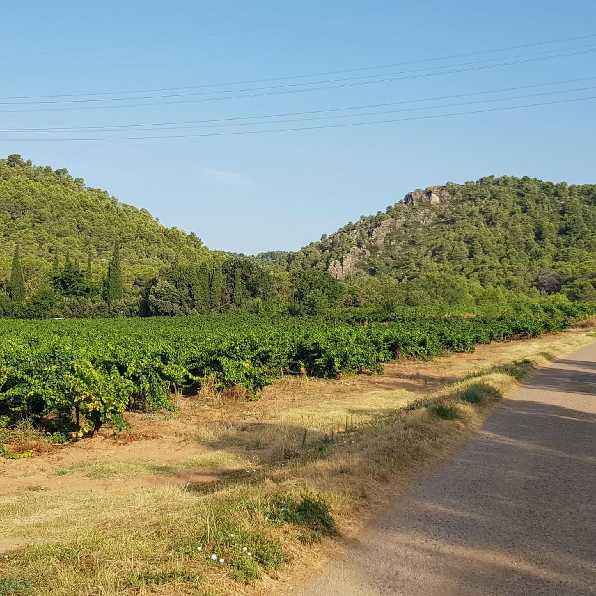
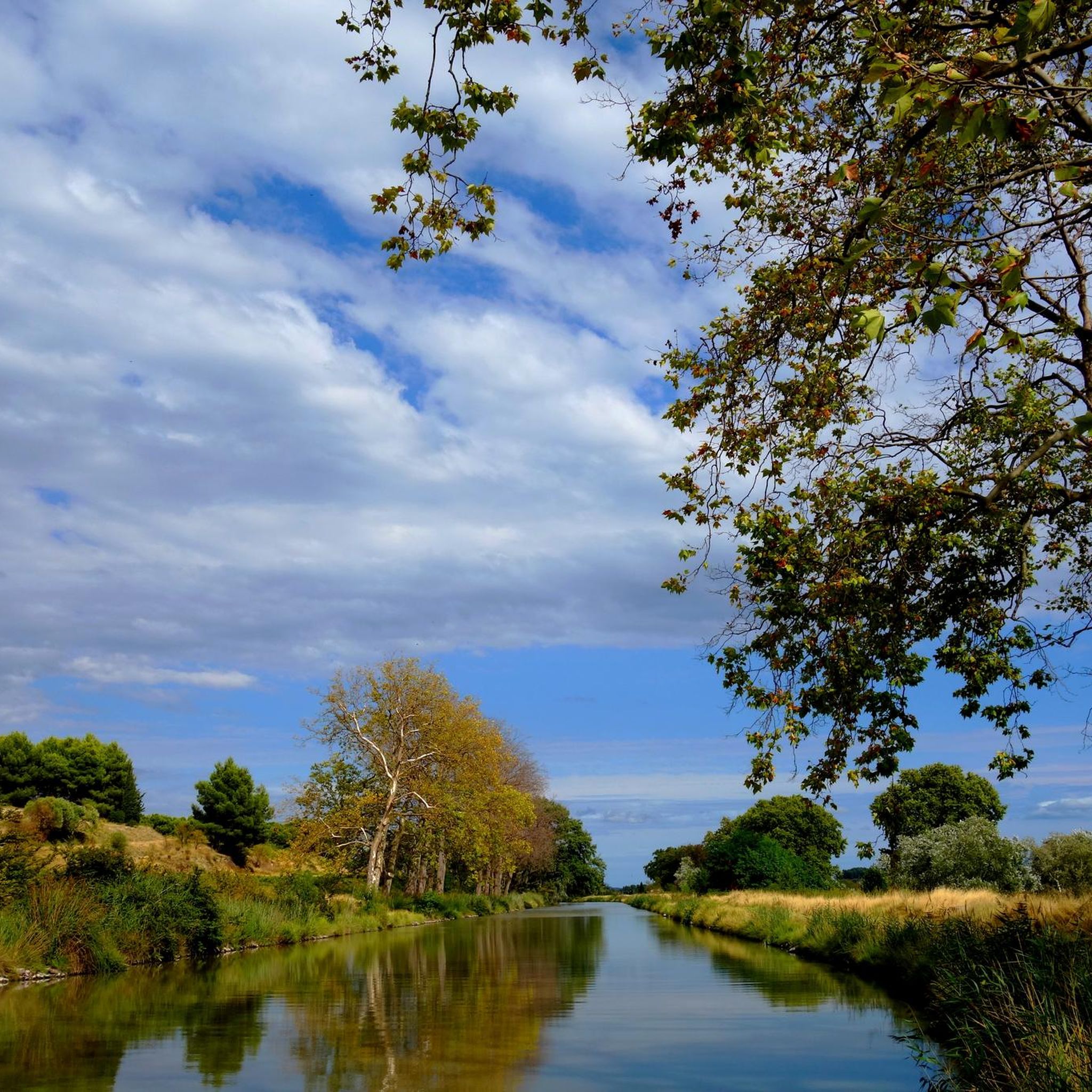
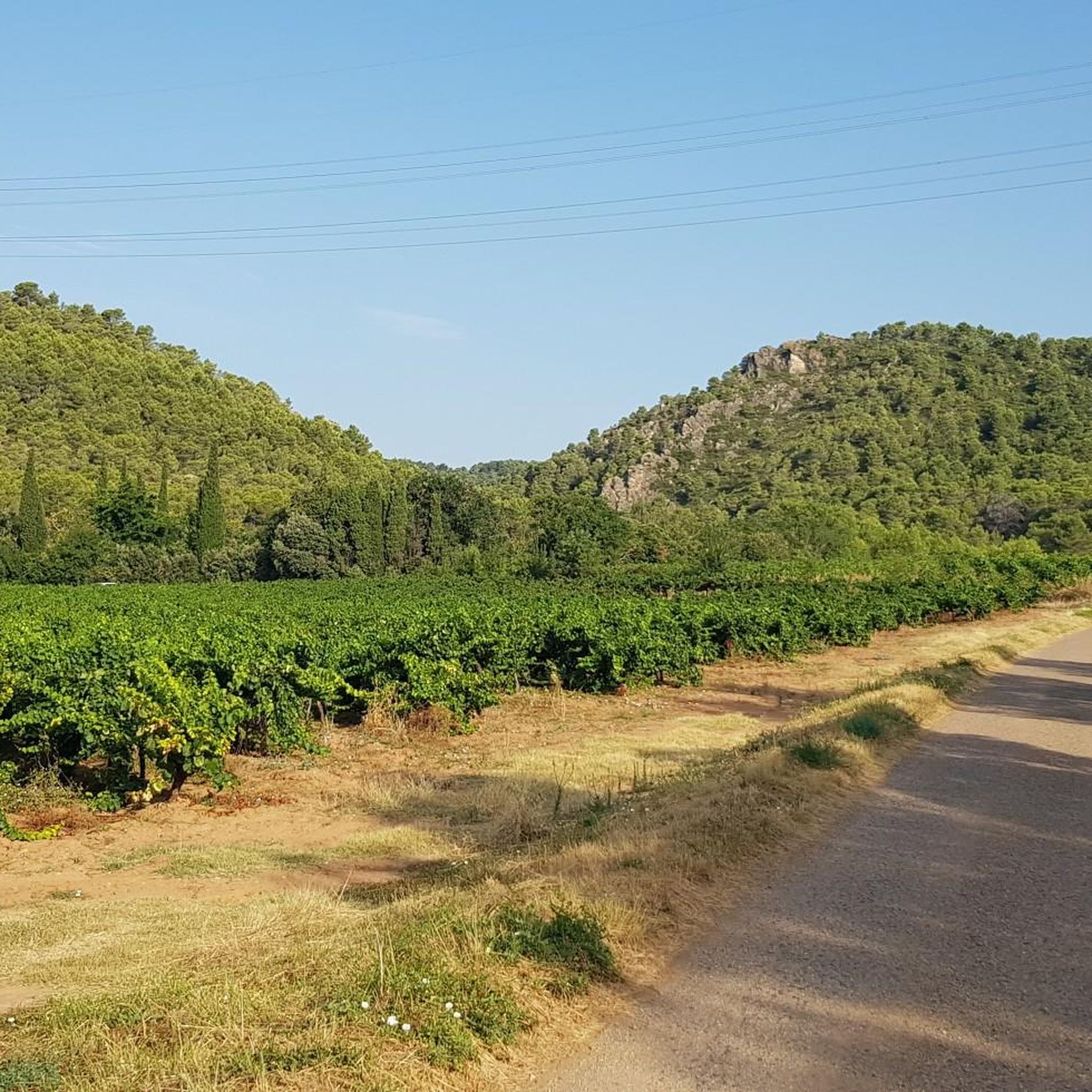

커뮤니티 팁

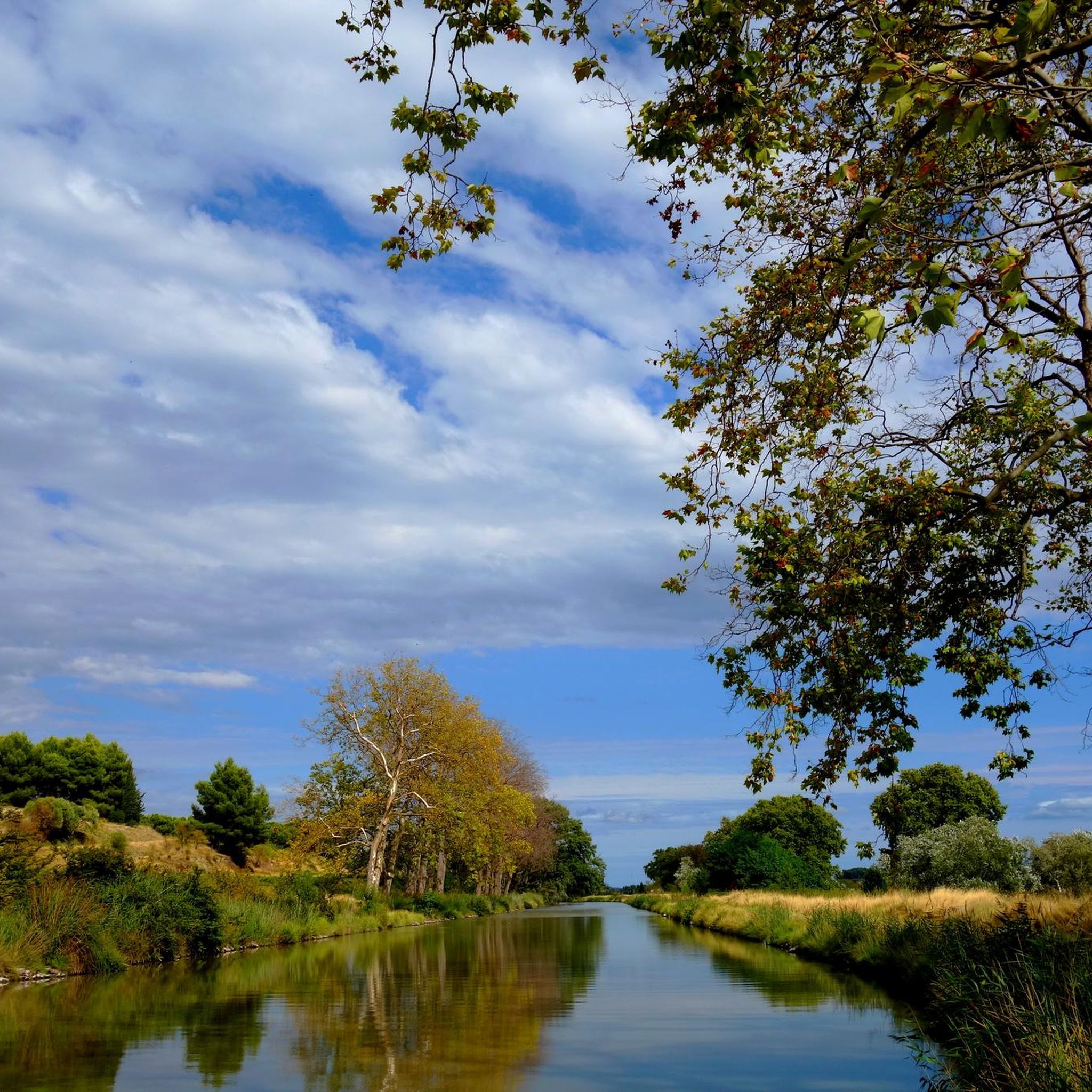
르아틀랑티크와 지중해를 연결하기 위해 피에르-폴 리케가 설계한 17세기 기술적 위업인 Canal du Midi(이전에는 Canal Royal)는 오늘날 유산, 자연, 친근함이 어우러진 휴식과 발견의 장소입니다.
0
0
르 소메일에는 1773년과 동일한 모습을 유지하고 있는 여관, 1684년에서 1693년 사이에 지어진 예배당, 심지어 빙고까지 포함한 주목할 만한 건물들이 있습니다. 이 빙고는 랑그도크의 더운 여름날 동안 여관과 르 소메일의 상점들에 얼음을 공급했습니다. 모든 것이 아직 그대로 있습니다! 마을 중심부에는 미디 운하의 초기 다리들에 전형적인, 주목할 만한 반원형 모양의 생 마르셀 다리가 있습니다. 근처에는 우편 배달부들도 함께 거주했던 관리인의 집을 여전히 볼 수 있습니다. 운하 옆에는 짐마차를 끌던 말들의 옛 음수대를 여전히 볼 수 있습니다.
0
0
Joncction 운하는 1787년에 개통되어 Midi 운하와 Narbonne의 Robine 운하를 연결합니다. 길이는 5km이며, 부분적으로는 태양을 피할 수 있는 멋진 파라솔 소나무가 늘어서 있습니다. 이 운하는 Robine 운하와 마찬가지로 유네스코 세계문화유산 "Midi 운하"의 일부입니다.
0
0

The section posted for this Highlight is in the town of Sallèles-d'Aude so you have a lot of people walking in this section. Dog walkers with dogs not on leads, families taking the whole path etc., so whilst it is pretty in can be annoying when biking, This was in the last days of Oct. '25 so I think in summer it would be almost impassable at times. The other way towards the Gailhousty Lock and eventually Narbonne is much quieter if you want to ride unhindered by walkers & dogs, especially if you take the wide gravel track on the other side of the canal from the Vioe Verte.
0
0


We pass along the Canal du MIDI to arrive at the small port so characteristic of SOMAIL. A picture-postcard landscape when the blue sky and the sun accompany you.
0
0

Pretty canal, shaded, bucolic. Don't miss the Gailhousty site, at the downstream outlet of the Jonction canal on the Aude river. This canal, put into operation in 1787, connects the Canal du Midi and the Robine de Narbonne canal. The Gailhousty site consists of a lock, a spillway, a bridge and a dry dock. Upstream of the lock, the canal is protected from the floods of the Aude thanks to a system of dikes that surround it up to Sallèles-d'Aude. Downstream of the lock is a space designed to be able to be submerged during heavy floods: the spillway. The bridge is designed to provide rapid access to all points of the site, is of neat architecture, with a low arched vault and four quarter-circle staircases placed at each corner. During floods, it is necessary to be able to react quickly and to manoeuvre the defence systems in time. Placed on the downstream head of the lock, it participates in the system of containing the strongest floods. The monumental spillway, 30 metres long, is located on the left bank of the canal between the Gailhousty lock and the Aude. Its front façade on the canal side is pierced with vertical crenellations that plunge into the water. At the back, it has 5 arched openings at the foot of which launches an 8km long landing channel called "La saignée" directed towards the Capestang pond. This building houses no fewer than 15 oversized valves. It is not intended to evacuate excess water from the Jonction canal but must allow the passage of flood water from the Aude river. Originally, it was planned that these waters loaded with fertile silt would be directed into the Capestang pond to fill it and promote crops there.
0
0
Superb site, at the downstream outlet of the Jonction canal on the Aude river. This canal, put into operation in 1787, allows to make the connection between the Canal du Midi and the Canal de la Robine de Narbonne. The Gailhousty site consists of a lock, a spillway, a bridge and a dry dock. Upstream of the lock, the canal is protected from the floods of the Aude thanks to a system of dikes which surround it up to Sallèles-d'Aude. Downstream of the lock is a space designed to be able to be submerged during heavy floods: the spillway. The bridge is designed to allow rapid access to all points of the site, is of a neat architecture, with a low arched vault and four quarter-circle staircases placed at each corner. In times of flood, it is necessary to be able to react quickly and maneuver the defense systems in time. Placed on the downstream head of the lock, it participates in the system of containing the strongest floods. The monumental spillway, 30 meters long, is located on the left bank of the canal between the Gailhousty lock and the Aude. Its front facade on the canal side is pierced with vertical crenellations that plunge into the water. At the back, it has 5 arched openings at the foot of which launches an 8km long landing channel called "La saignée" directed towards the Capestang pond. This building houses no less than 15 oversized valves. It is not intended to evacuate excess water from the Jonction canal but must allow the passage of flood water from the Aude river. Originally, it was planned that this water loaded with fertile silt would be directed into the Capestang pond to fill it and promote crops there.
0
0


더 살펴보기
찾고 있는 하이라이트를 아직 못 찾으셨나요? 다른 지역의 주요 명소 가이드를 확인해보세요:
