란토스크에서 가장 멋진 13개의 산 정상
란토스크의 산 정상에 오르면 이 지역의 아름다운 모습을 제대로 구경할 수 있어요. 다만, 13
곳이나 되는 산 정상 중에서 어떤 곳을 가야 할 지 고민된다는 게 문제죠. 란토스크에서 가장 멋진 산 정상을 살펴본 후에 마음에 드는 산 정상을 다음 모험 계획에 추가해보세요.
마지막 업데이트: 8월 23, 2026

Cime du Diable
하이라이트 • 정상
번역자 Google •
팁에 의해

이런 장소를 발견하려면 지금 가입하세요
최고의 싱글 트랙, 봉우리 및 다양한 흥미로운 야외 장소에 대한 추천을 받아보세요.
무료 회원 가입
Ouvrage de la Forca 유적지
하이라이트 • 역사적 장소
번역자 Google •
팁에 의해

몬테 그로소로 가는 전략적 경로
하이라이트 • 트레일
You still have to travel seven kilometers from this point to reach this mountain. Be careful not to …
번역자 Google •
팁에 의해
오늘 무료 계정으로 시작하세요
다음 모험이 기다리고 있어요.
로그인 또는 가입하기

란토스크 주변의 다른 모험

커뮤니티 팁


Accessible by gravel (40mm tyres) or by mountain bike, the summit of Mont Férion (1412m) will be your finish line if you are a cyclist in full climb. Your reward will be the panoramic view: from the Alps and the Mercantour, to the Mediterranean, passing through the Paillon valley and the Var valley. You will find a watchtower which serves as a lookout to protect the massifs against fire and even houses a small refuge on the ground floor of the tower with a fireplace to warm walkers in difficulty.
0
0

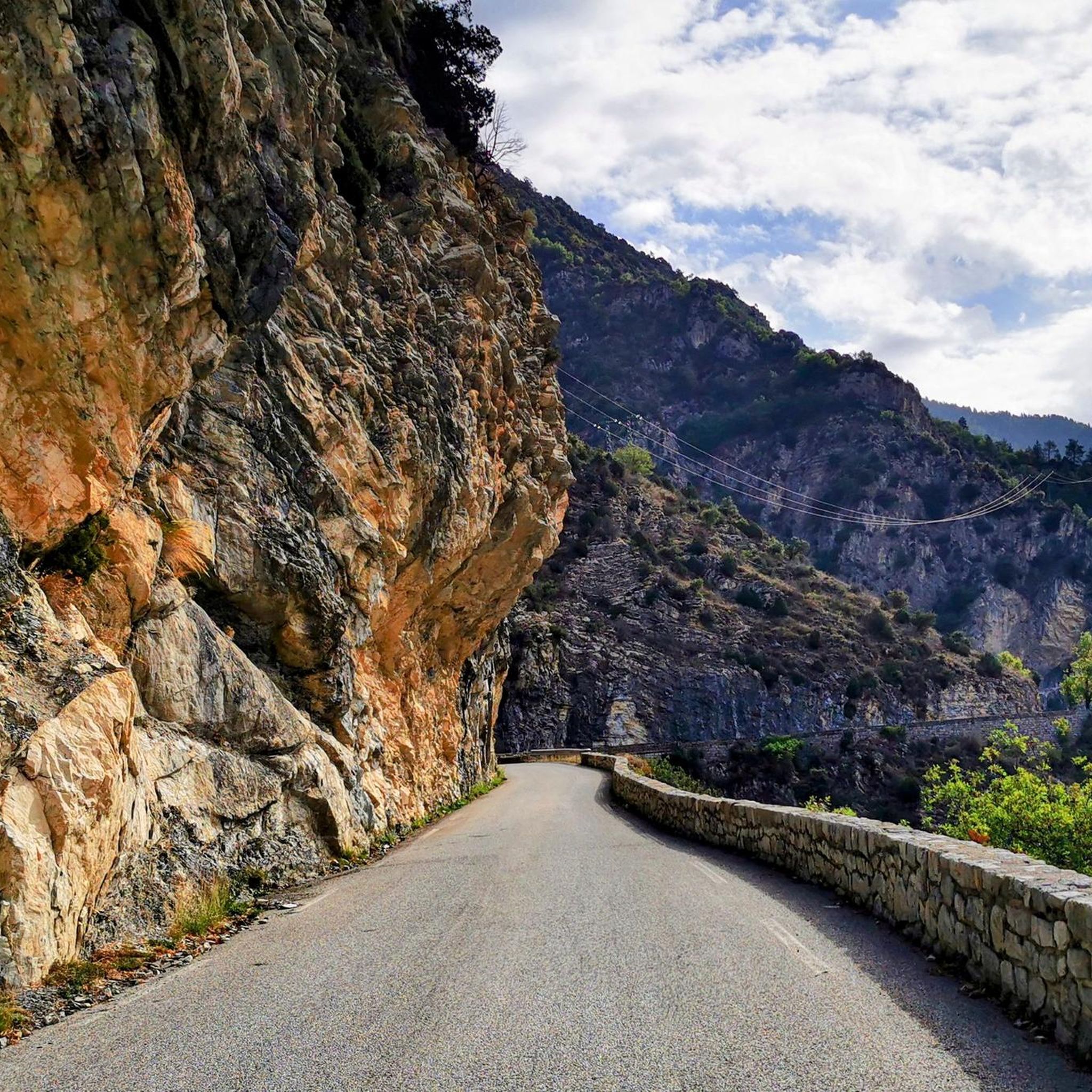
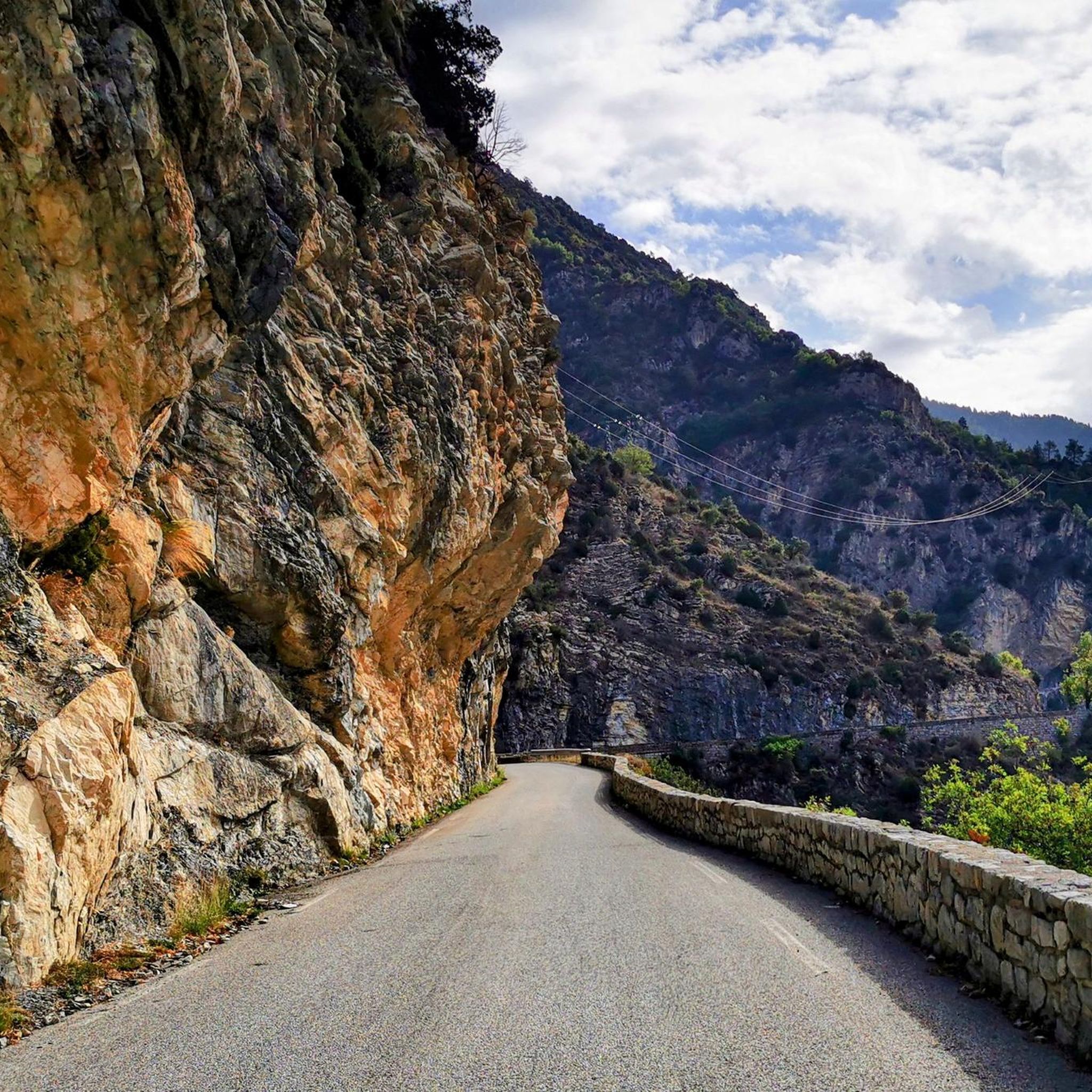
The GR takes here the strange name of strategic road monte Grosso. You still have to travel seven kilometers from this point to reach this mountain. Be careful not to confuse it with the Corsican mountain which bears the same name. Here it is a small summit located overhanging the Col de Brouis. You will find there a ruined military structure built between 1921 and 1935 and belonging to the Maginot line.
1
0
To reach Mount Mangiabo from Camp d'Argent, just follow a ridge line for just over 12 kilometres. It's a real treat on the way, which literally gives you wings when you walk it. This summit, which bears an Italian-sounding name, is the last peak of the Mercantour massif that you encounter, before beginning the descent towards Sospel.
0
0
The work and the barracks of La Forca are now ruins. They were built between January 1887 and November 1891 at a time of border tension. Its purpose was to monitor the Roya valley in order to control a possible invasion of troops from Italy. They come to replace an old Sardinian redoubt. The two buildings are located at the southern summit of the Massif de L'Authion at 2,078 meters above sea level. Besides this historic site, the climb to the top is worth doing just for the magnificent views.
1
0
Very pretty walk, on this strategic route leading to the work of Monte Grosso, and to the mountain of the same name.
1
0

Mont Férion (1,412 m) dominates the village of Levens. This is the highest point of the Férion range. The building at the top is a necessary DFCI watchtower due to the fire tendency in the area.
3
0
란토스크 주변에서 가장 인기 있는 명소


더 살펴보기
이 가이드를 통해 란토스크 주변의 더 놀라운 정상들을 확인해보세요:
