바트 소덴-잘뮌스터 최고의 사이클링 경로
4.4
(1460)
4,790
자전거 타는 사람
156
라이딩
바트 소덴-잘뮌스터 최고의 사이클링 경로를 따라 지역을 둘러볼까요? 바트 소덴-잘뮌스터에서 가장 멋진 자전거 라이딩 장소 중에서 가장 마음에 드는 라이딩을 선택해보세요.
마지막 업데이트: 10월 4, 2026
4.7
(516)
768
자전거 타는 사람
35.6km
02:09
170m
170m
보통 자전거 타기. 좋은 체력 필요. 대부분 포장된 지면. 실력과 관계없이 누구나 갈 수 있음.
4.5
(111)
424
자전거 타는 사람
82.6km
04:45
220m
220m
보통 자전거 타기. 좋은 체력 필요. 대부분 포장된 지면. 실력과 관계없이 누구나 갈 수 있음.

4.7
(39)
169
자전거 타는 사람
14.6km
00:53
70m
70m
초급용 자전거 라이딩. 모든 체력 수준에 적합. 대부분 포장된 지면. 실력과 관계없이 누구나 갈 수 있음.
4.8
(78)
110
자전거 타는 사람
54.1km
03:15
390m
390m
보통 자전거 타기. 좋은 체력 필요. 대부분 포장된 지면. 실력과 관계없이 누구나 갈 수 있음.
4.4
(54)
180
자전거 타는 사람
28.1km
01:38
100m
100m
초급용 자전거 라이딩. 모든 체력 수준에 적합. 대부분 포장된 지면. 실력과 관계없이 누구나 갈 수 있음.
더 다양한 경로와 다른 탐험가들의 추천을 살펴보세요.
이미 komoot 계정이 있나요?
투어 추천은 다른 사람들이 komoot에서 완료한 수천 개의 활동을 바탕으로 구성되어 있습니다.
오늘 무료 계정으로 시작하세요
다음 모험이 기다리고 있어요.
바트 소덴-잘뮌스터 주변 인기 장소
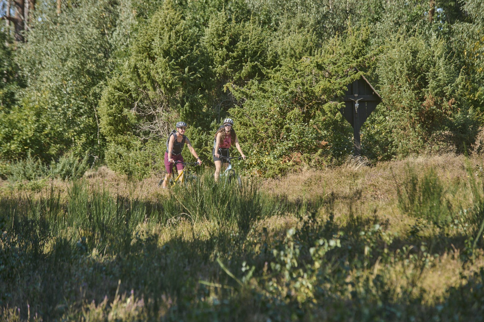
Nature, trails and local cuisine – MTB in the Spessart
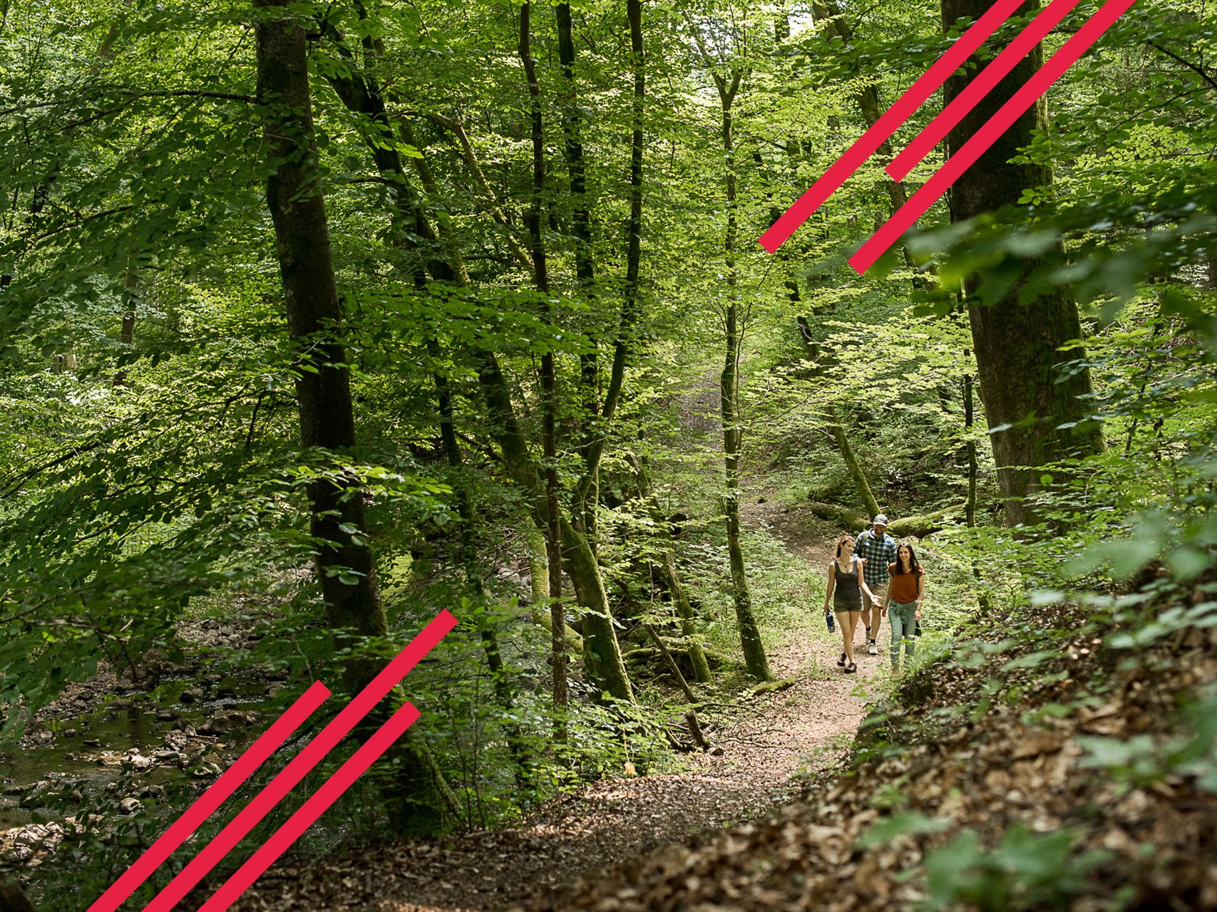
Relaxed hiking in the Spessart – short trails of discovery
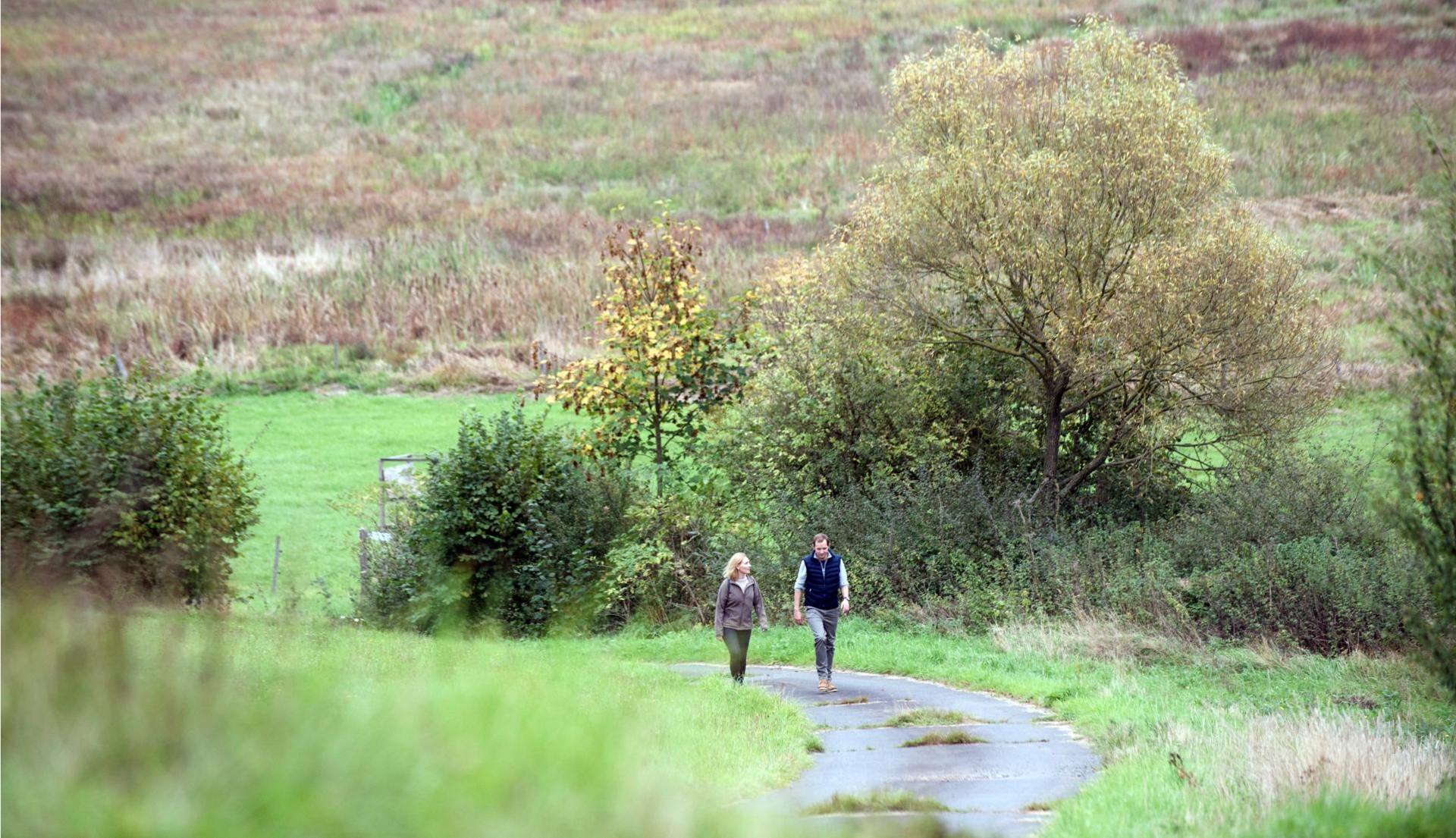
Pleasure hiking in the Spessart: trails that taste as good as they look

Winter adventures by public transport – hikes for the whole family

Thousands of kilometres of hiking fun – long-distance hiking trails in Bavaria
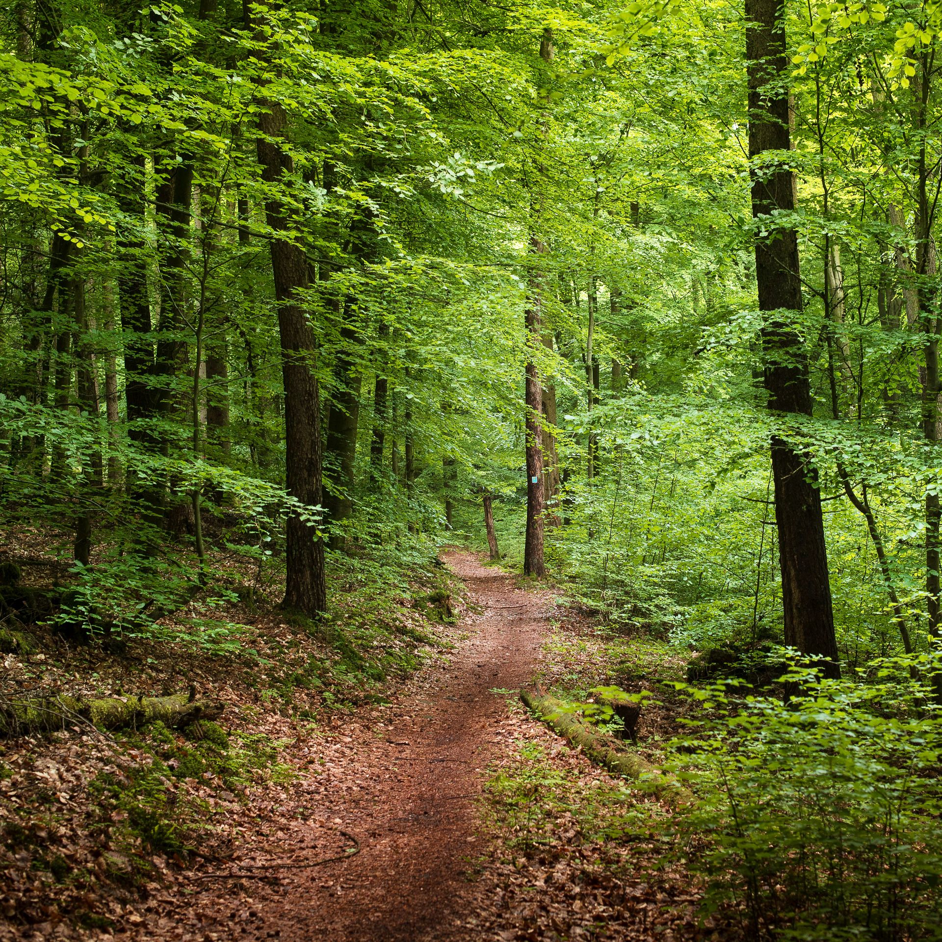
Endless forests, flowing trails – MTB in Germany’s Spessart region
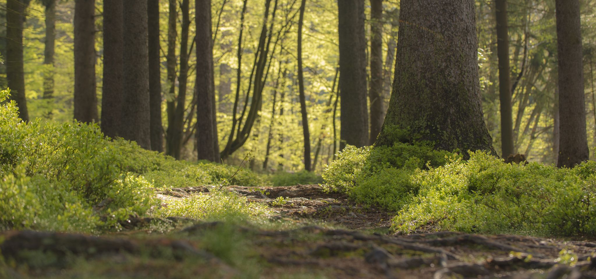
Mountain biking in the Spessart – Awesome trails in Germany
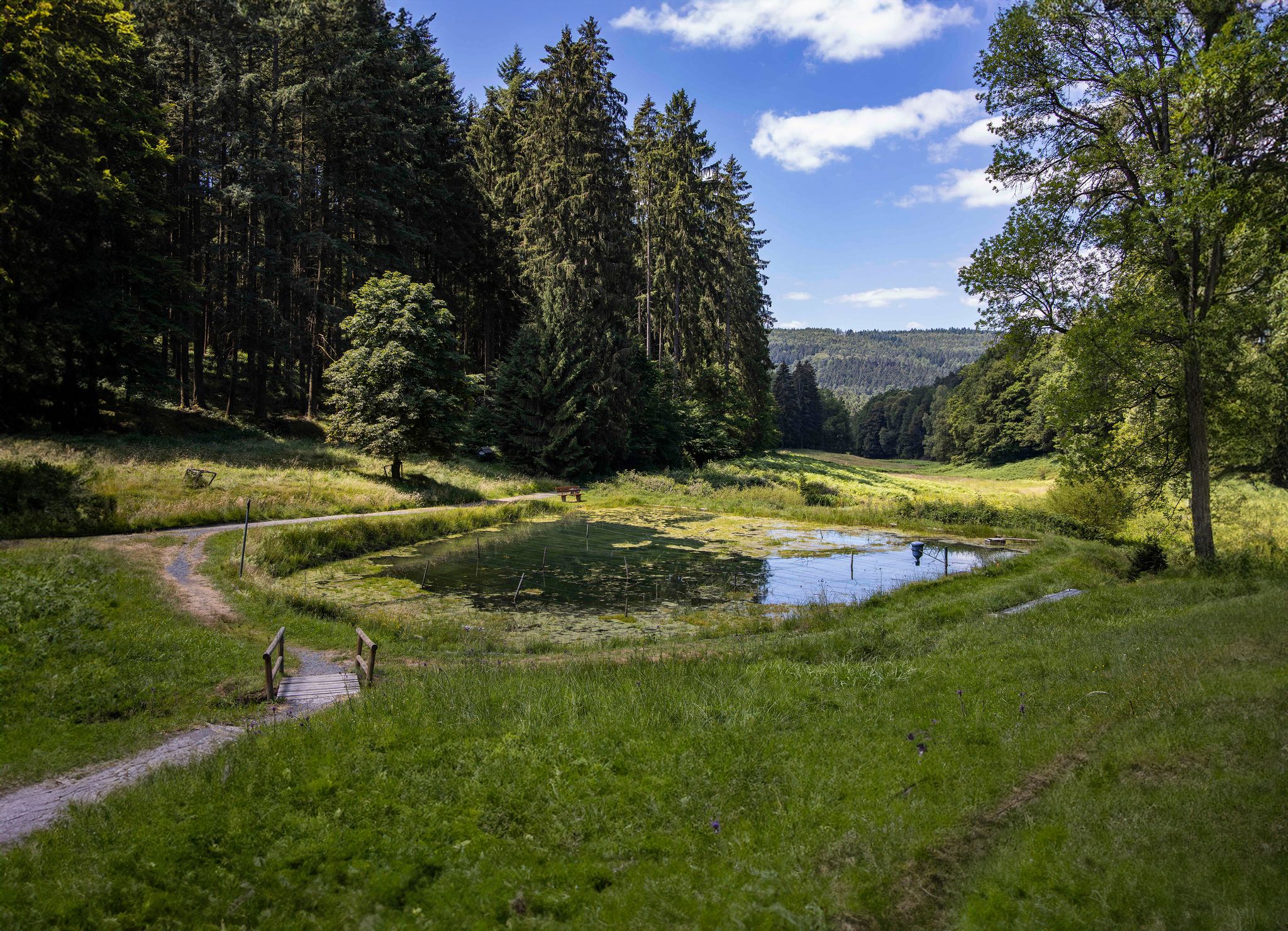
독일의 가장 큰 숲 중 하나인 슈페사르트 3을 하이킹하세요
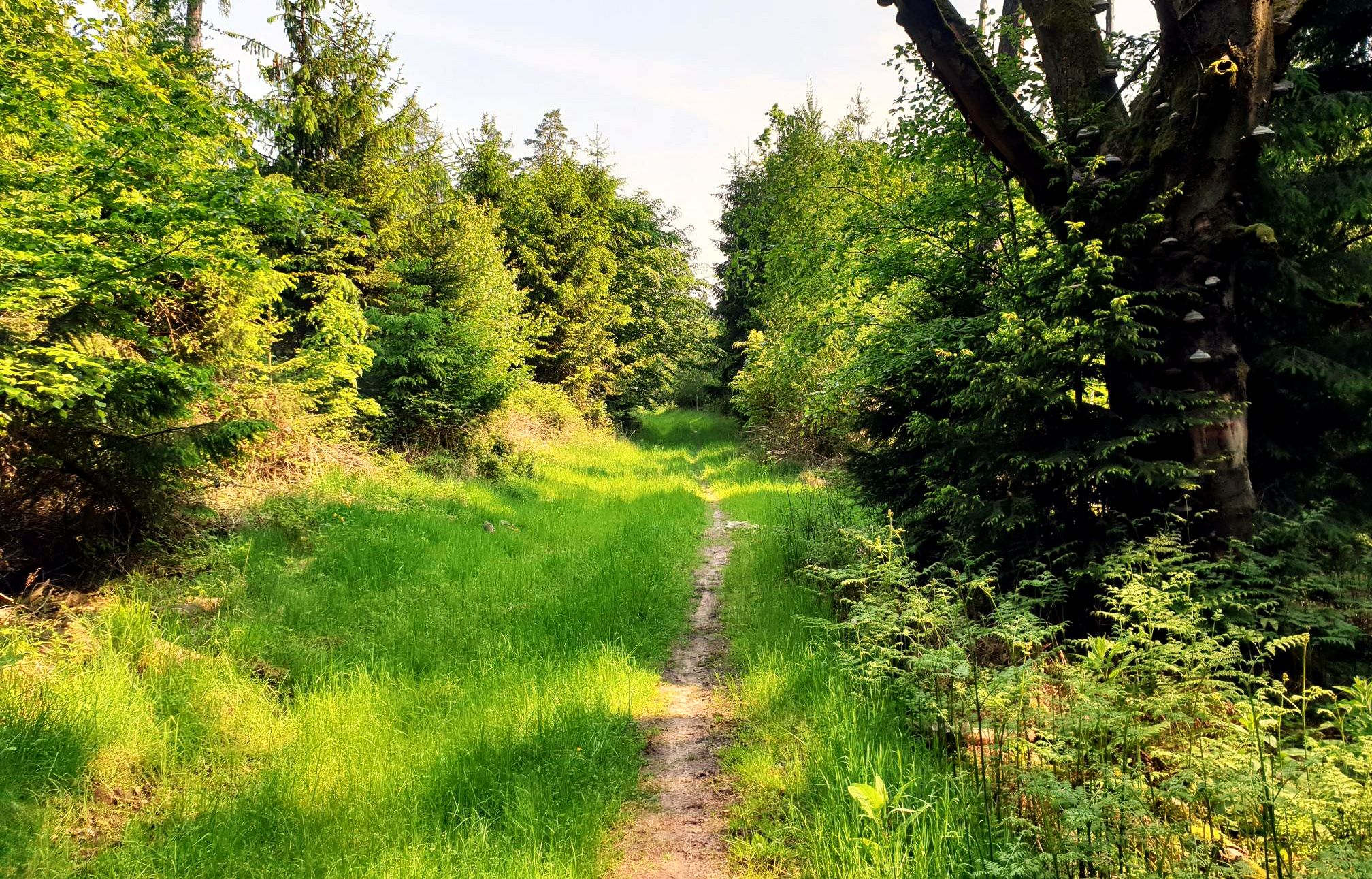
Mountain biking in the Spessart – Awesome trails in Germany
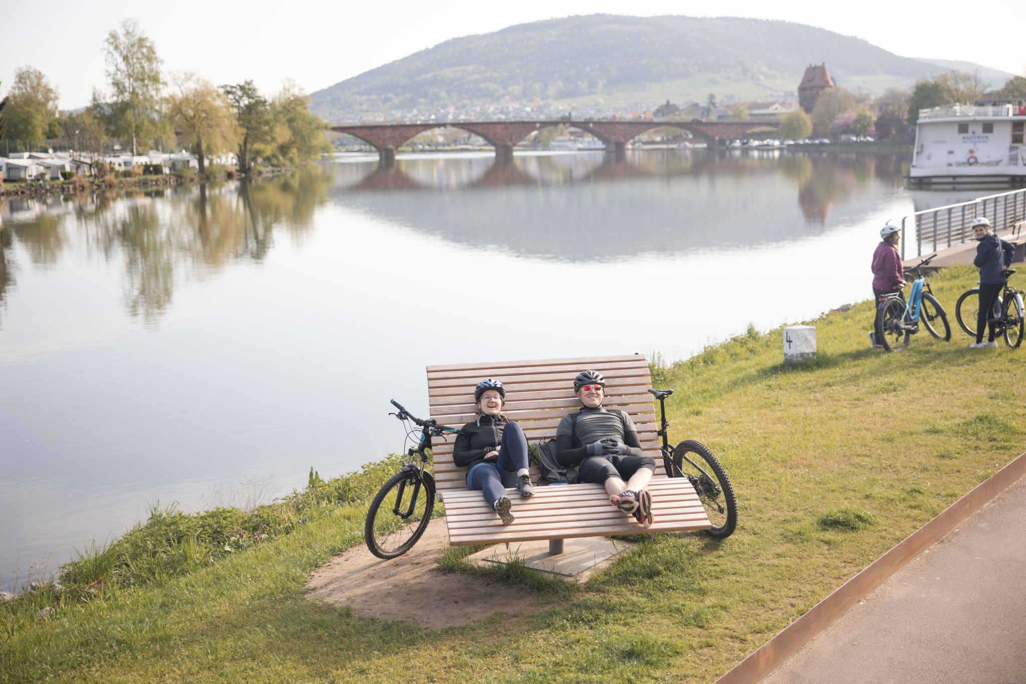
Wald erFahren – E-Bike-Touren im Spessart
바트 소덴-잘뮌스터 주변의 다른 모험


커뮤니티 팁


오늘의 이용 근린 휴양: 수역 주변 지역은 자전거 타는 사람들과 산책하는 사람들을 위한 약 7km 길이의 순환 도로가 있는 인기 있는 휴양지 역할을 합니다. 아르데아 호수 세계: 16개의 스테이션이 있는 특별한 학습 및 체험 경로는 방문객들에게 지역 자연, 조류 보호 및 댐 기술에 대해 재미있게 정보를 제공합니다.
1
0
목적 및 기능 홍수 방지: Vogelsberg 지역의 유입으로 인해 발생하는 Kinzig 강의 홍수에 대한 가장 중요한 보호 조치 중 하나로 간주됩니다. 에너지 생산: 전력 생산을 위한 소규모 터빈 시스템이 댐에 직접 통합되어 있습니다. 저수량 조절: 건기에는 저수지가 Kinzig 강의 수위를 안정적으로 유지하는 데 도움이 됩니다.
1
0
건설 및 비용 건설 기간: 댐 작업은 1976년에 시작되어 1982년에 완료되었습니다 (댐 건설 및 초기 역류는 1976-1979년부터 시작되었습니다). 건설 비용: 호수와 댐 건설에는 당시 약 7천만 독일 마르크가 소요되었습니다. 기술 데이터: 댐은 높이 14미터입니다. 저수지는 최대 125헥타르의 면적과 약 720만 입방미터의 물을 담을 수 있습니다.
1
0
킨치히 저수지(Kinzigtalsperre)는 1976년에서 1982년 사이에 건설되었으며 주로 홍수 보호, 저수량 증대 및 전력 생산을 담당합니다. 헤센에 위치한 약 70헥타르 규모의 저류지는 바트 조덴-잘뫼।뮌스터와 슈타이나우 안 데어 슈트라세(아흘 지역) 사이에 있으며 킨치히 수자원 협회에서 운영합니다.
1
0
기원 및 근세 14세기: 킨치히 강변에 첫 번째 방앗간의 추정된 기원 및 건설. 1667년: 첫 번째 확실한 문서 기록, 방앗간 주인 Hans Georg Krembs에게 부여됨. 18세기: 기름 및 기장 방앗간, 이후 코담배 방앗간으로 확장.
0
0
바트 소덴-잘뮌스터 주변에서 가장 인기 있는 명소


더 살펴보기
다른 지역의 최고의 자전거 경로를 살펴보세요.
