シュピーゲルヴァルトのおすすめランニングルート
4.5
(749)
3,715
ランナー
371
ランニング
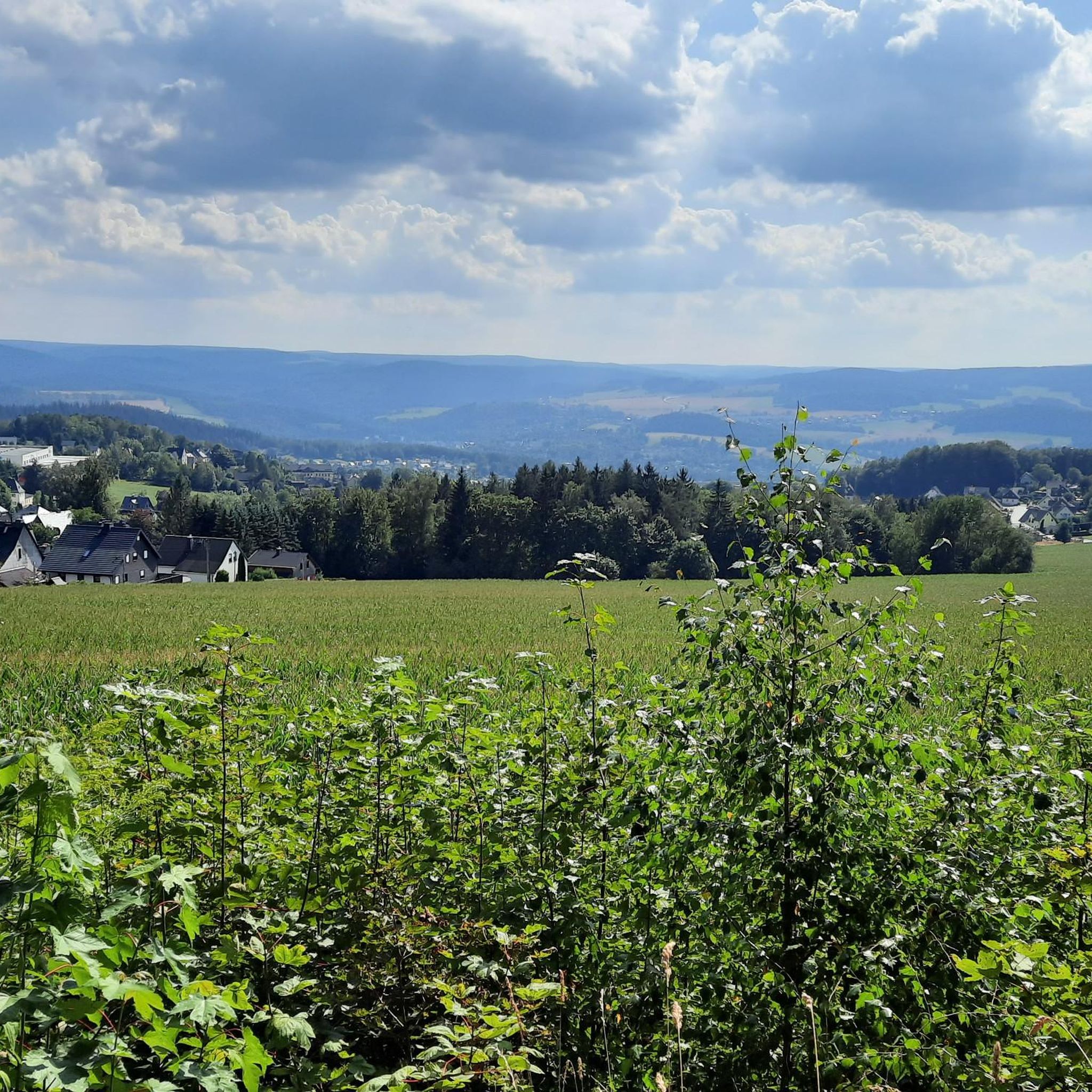
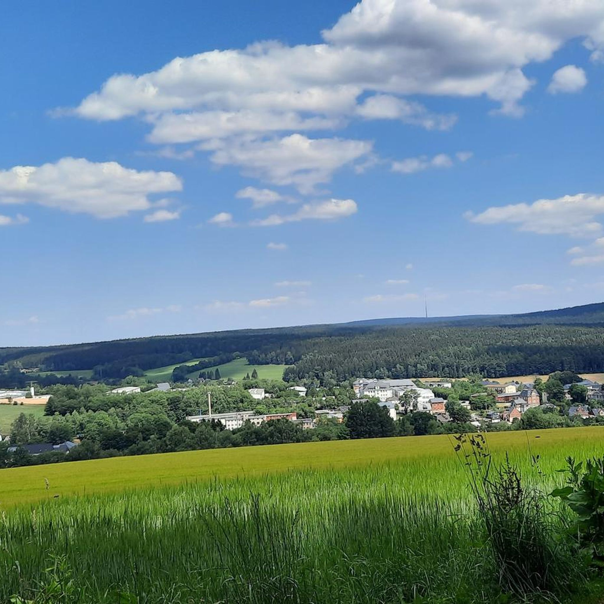
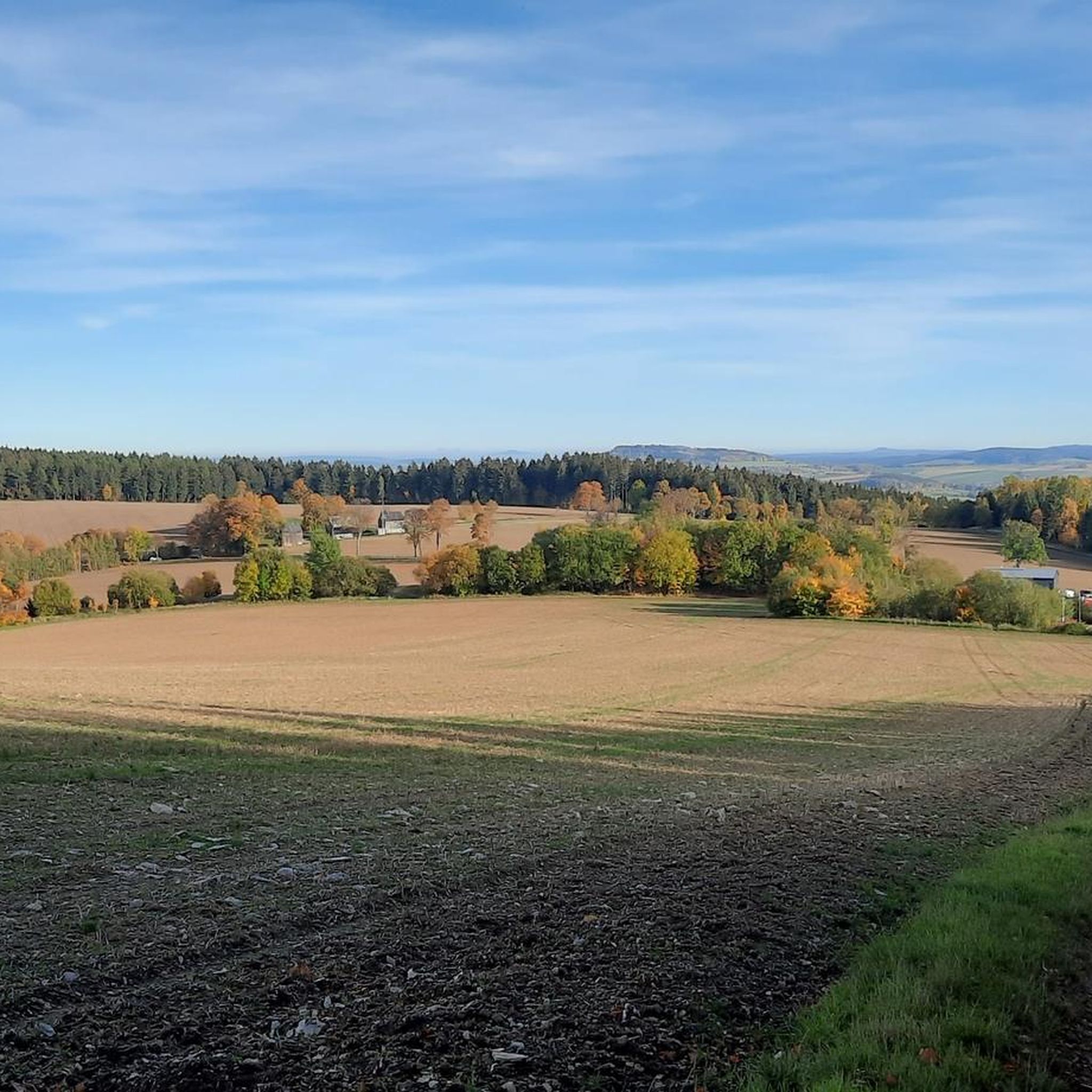
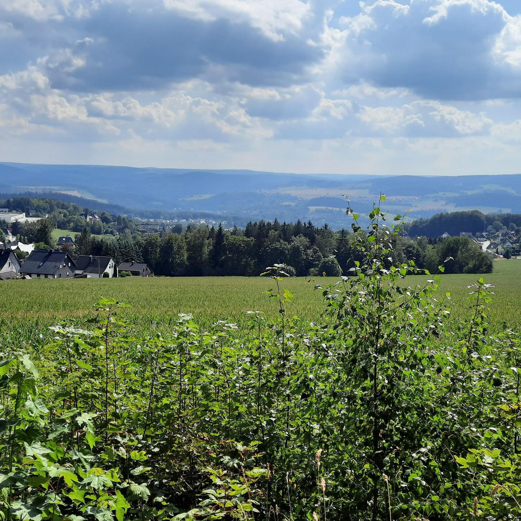
Spiegelwald周辺のジョギングは、広大な森林と変化に富んだ地形を特徴とする多様な景観を提供します。この地域には、歴史的な鉄道ルートやパノラマビューを提供する高台のセクションを含む、遊歩道のネットワークがあります。ランナーは、さまざまなフィットネスレベルに対応できる、緩やかな上り坂とより挑戦的な登りの両方を見つけることができます。
Spiegelwald周辺の最高のジョギングルート
- 最も人気のあるジョギングルートは、グリューンハイン=バイアフェルト発の「Old Locomotive – König Albert Tower (Spiegelwald) loop」で、距離は7.9km(4.9マイル)、所要時間は1時間2分です。この適度な難易度のルートは、自然の小道と歴史的な要素を組み合わせ、ケーニッヒ・アルバート・タワーを通過します。
- 地元のランナーに人気のもう一つのルートは、グリューンハイン=バイアフェルト発の「Old Railway Bridge – Fuchsbrunn Bridge loop」で、距離は9.5km(5.9マイル)の難易度の高いコースです。このルートは、古い鉄道インフラ沿いの景色と変化に富んだ地形を提供します。
- 地元のランナーに愛されているのは、グリューンハイン=バイアフェルト発の「Balcony of the Ore Mountains – Old Locomotive loop」で、距離は5.2km(3.2マイル)のトレイルです。高台のセクションを通り抜け、パノラマビューを楽しめ、所要時間は約35分です。
- Spiegelwald周辺のジョギングは、鬱蒼とした森林、歴史的な鉄道の小道、そして見晴らしの良い高台によって特徴づけられます。このネットワークは、簡単なランニングルートからより挑戦的なトレイルまで、さまざまなスキルレベルのオプションを提供します。
- Spiegelwaldのルートは、komootコミュニティから高く評価されており、500件以上のレビューで平均4.5つ星を獲得しています。2,700人以上のランナーがkomootを利用して、Spiegelwaldの多様な地形を探索しています。
最終更新日: 10月 11, 2026
5.0
(1)
7
ランナー
9.90km
01:04
140m
130m
難しいジョギング. ある程度のフィットネスレベルが必要です。 安定して歩行できる技術、丈夫な靴、高標高地での登山経験が必要です。
8
ランナー
5.59km
00:36
100m
100m
中程度のジョギング. ある程度のフィットネスレベルが必要です。 全般的に舗装された状態です。あらゆるスキルレベルに適しています。

7
ランナー
8.67km
00:56
130m
130m
中程度のジョギング. ある程度のフィットネスレベルが必要です。 全般的に舗装された状態です。あらゆるスキルレベルに適しています。
5
ランナー
9.90km
01:04
170m
170m
中程度のジョギング. ある程度のフィットネスレベルが必要です。 全般的に舗装された状態です。あらゆるスキルレベルに適しています。
4
ランナー
12.2km
01:23
250m
250m
中程度のジョギング. ある程度のフィットネスレベルが必要です。 全般的に舗装された状態です。あらゆるスキルレベルに適しています。
さらに多くのルートや他のユーザーのおすすめ情報を確認できます。
すでにアカウントをお持ちですか?
おすすめのツアーは他のkomootユーザーが実際に経験した何千ものアクティビティに基づいています。
無料アカウントで今日から始めよう
次の冒険が待っています。



コミュニティからのヒント

The Kuttenbach, approximately 6.5 km long, is a stream and a right tributary of the Schwarzwasser on the outskirts of Aue-Bad Schlema. Its lower reaches in the Bärengrund valley, after its only major tributary, are also called the Rumpelsbach. The Kuttengrund valley is an old mining area; the last mine closed in 1927. The Kuttenteich pond, constructed in the 18th century as an artificial pond, served as a water reservoir for the vitriol works, the smelting works, and, from 1840 onward, for supplying water to the Kuttenzeche mine. The pond is 72 meters long and 52 meters wide, with a dam five meters high. A mining heritage trail now leads through the valleys of the Kuttenbach and Fallbach streams.
0
0
非常に美しく整備された休憩所には、いくつかの情報板があり、同時にハイキングの理想的な出発点でもあります。
0
1


Nice place for sports and relaxed walks with (and without ;)) family
0
0
シュピーゲルヴァルトでのの人気ルート
シュピーゲルヴァルトでのの人気観光スポット

komootモバイルアプリでインスピレーションを得よう


さらに探索
他の地域の最高のランニングトレイル & ルートを見てみましょう。
