オーバータールのおすすめランニングルート
4.2
(50)
497
ランナー
35
ランニング
オーバータールでランニングを楽しめば、このエリアをより深く知ることができます。ランニングに適した美しいルートが見つかるように、komootがオーバータールでのルートのコレクション全体を評価して選び抜いた、人気ランニングトレイルをご紹介します。ルートをクリックして詳細を表示し、他のユーザーがアップロードした役立つ情報や写真を閲覧しましょう。
最終更新日: 10月 13, 2026
5.0
(1)
64
ランナー
16.9km
02:04
430m
430m
難しいジョギング. 標準以上のフィットネスレベルが必要です。 全般的に舗装された状態です。あらゆるスキルレベルに適しています。
4.0
(6)
46
ランナー
6.64km
00:43
110m
110m
中程度のジョギング. ある程度のフィットネスレベルが必要です。 全般的に舗装された状態です。あらゆるスキルレベルに適しています。

4.0
(1)
32
ランナー
10.0km
01:04
100m
100m
中程度のジョギング. ある程度のフィットネスレベルが必要です。 全般的に舗装された状態です。あらゆるスキルレベルに適しています。
3.9
(11)
25
ランナー
14.5km
01:33
160m
160m
中程度のジョギング. ある程度のフィットネスレベルが必要です。 全般的に舗装された状態です。あらゆるスキルレベルに適しています。
4.6
(5)
41
ランナー
6.90km
00:46
160m
160m
中程度のジョギング. ある程度のフィットネスレベルが必要です。 全般的に舗装された状態です。あらゆるスキルレベルに適しています。
さらに多くのルートや他のユーザーのおすすめ情報を確認できます。
すでにアカウントをお持ちですか?
おすすめのツアーは他のkomootユーザーが実際に経験した何千ものアクティビティに基づいています。



コミュニティからのヒント

彫刻の道でのトレイルランニングは気分が良いです。 🏃➡️
1
0

In the cool shade of the larch forest, a charming rest stop awaits thirsty hikers: the Larch Forest Trough. A rustic wooden shelter houses a wine barrel, from which you can enjoy cool drinks for a small fee – from water and soda to fine regional wines. Perfect for a short break and enjoying the tranquility of the forest. Tip: 💡 Don't forget cash (preferably small change) – self-service is classic and straightforward here.
0
0
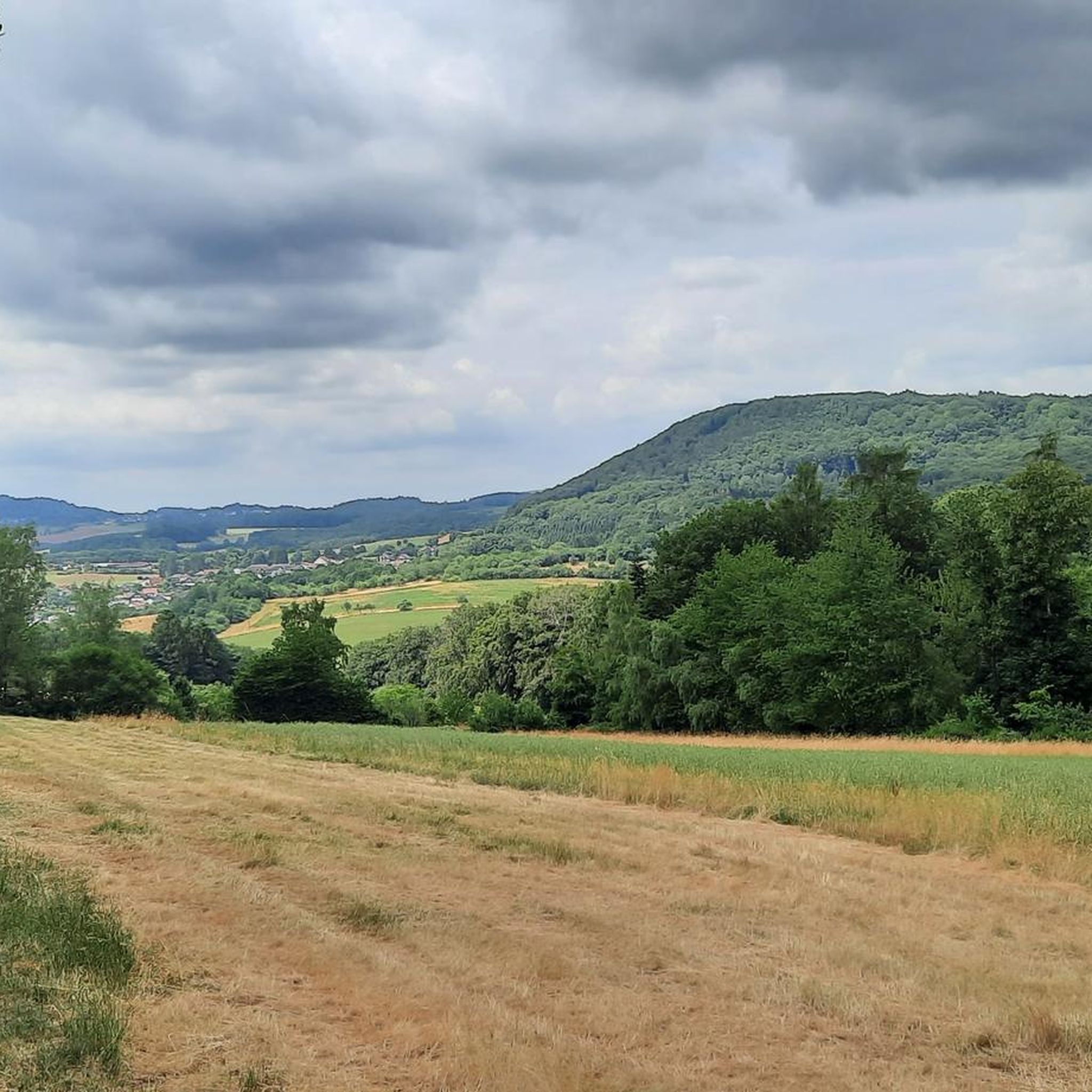
この開けた牧草地からは、谷を越えて、遠くに見える塔のある特徴的なシャウムベルクまで、景色が広く開けています。晴れた日には、空が特に広く感じられ、風景はまるで絵画のようです。 ヒント:完璧な写真スポット – 特に午後の遅い時間、光が塔を暖かい色で照らす頃がおすすめです。
0
0
🌲💧 Larch Forest Watering Hole – a tranquil spot amidst the greenery This small watering hole suddenly appears between ancient larches – quiet, hidden, almost a little enchanted. Not a large rest area, not a viewpoint – but one of those moments when you pause for a moment and realize: "This is exactly why I go hiking." For me, it's a very special place on the Rötelstein Trail.
0
1


The Oberthaler Moor, also known as Oberthaler Bruch, is a popular hiking destination. The narrow boardwalk requires a certain sense of balance.
4
0
The Oberthaler Moor, also known as Oberthaler Bruch, is a popular hiking destination. The narrow boardwalk requires a certain sense of balance.
5
0
This idyllic rest area with a table and several benches is located directly on the young Nahe. It invites you to take a short break. The Rötelsteinpfad - a great hiking trail - leads directly past the rest area.
4
0

komootモバイルアプリでインスピレーションを得よう


