オーバータールのおすすめウォーキング&ハイキングルート
4.5
(14973)
61,550
ハイカー
119
ハイキング
オーバータール 周辺でおすすめのハイキングやウォーキングを楽しんでいただけるように、このエリアの小径やルートを集めたkomootコレクション全体を見直しました。 以下で各ルートの詳細をご覧になり、オーバータール周辺の大自然を満喫する際の参考にしてください。
最終更新日: 10月 22, 2026
4.8
(163)
575
ハイカー
13.8km
03:58
350m
350m
中程度のハイキング. ある程度のフィットネスレベルが必要です。 進みやすいルートです。あらゆるスキルレベルに適しています。
4.7
(40)
125
ハイカー
7.81km
02:10
140m
140m
中程度のハイキング. ある程度のフィットネスレベルが必要です。 進みやすいルートです。あらゆるスキルレベルに適しています。

4.5
(16)
67
ハイカー
9.20km
02:36
190m
200m
中程度のハイキング. ある程度のフィットネスレベルが必要です。 進みやすいルートです。あらゆるスキルレベルに適しています。
4.7
(37)
117
ハイカー
14.7km
04:05
260m
260m
中程度のハイキング. ある程度のフィットネスレベルが必要です。 進みやすいルートです。あらゆるスキルレベルに適しています。
4.5
(11)
51
ハイカー
9.03km
02:35
220m
220m
中程度のハイキング. ある程度のフィットネスレベルが必要です。 進みやすいルートです。あらゆるスキルレベルに適しています。
さらに多くのルートや他のユーザーのおすすめ情報を確認できます。
すでにアカウントをお持ちですか?
おすすめのツアーは他のkomootユーザーが実際に経験した何千ものアクティビティに基づいています。


コミュニティからのヒント

Die Wildfrauhöhle auf dem Leißberg ist ein Hohlraum, der sich in Sandsteinen der Tholeyer Schichten gebildet hat. Diese wurden im Perm abgelagert, und sind eher leicht erodierbar. An manchen Stellen kam es jedoch zur sogenannten Verkieselung der Sandsteine: Ebenfalls im Perm kam es in direkter Nähe zu Vulkanismus. Im Zuge dessen drangen quarzhaltige Lösungen in den Sanstein ein und härteten aus. Hierdruch wurde er hart und beständig, so dass der Fels um die Wildfrauhöhle erhalten blieb.
0
0

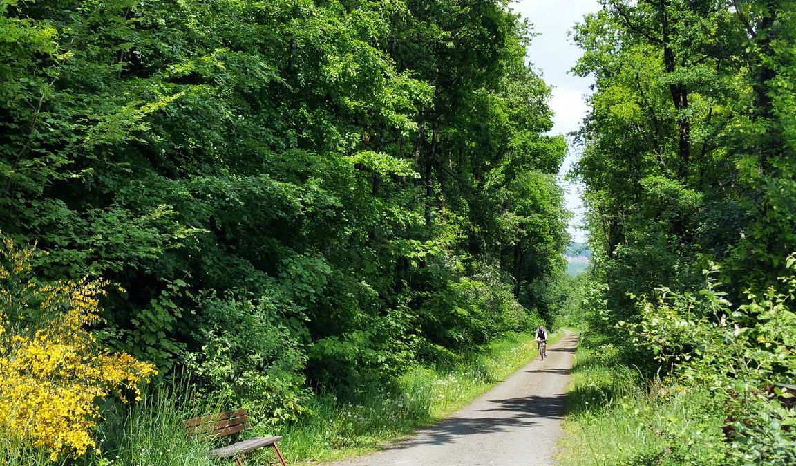
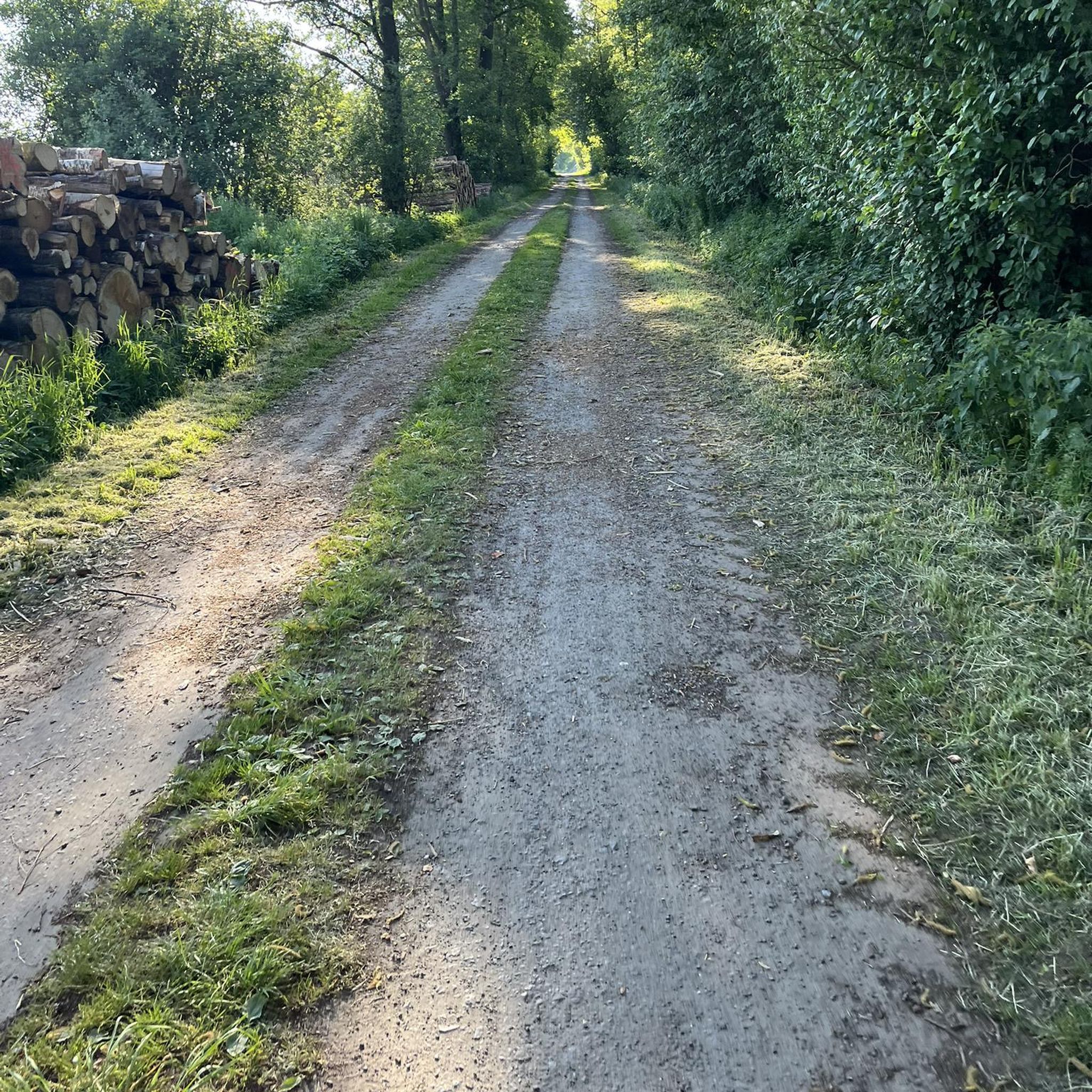
非常に走りやすいトレイルです
0
0

In the cool shade of the larch forest, a charming rest stop awaits thirsty hikers: the Larch Forest Trough. A rustic wooden shelter houses a wine barrel, from which you can enjoy cool drinks for a small fee – from water and soda to fine regional wines. Perfect for a short break and enjoying the tranquility of the forest. Tip: 💡 Don't forget cash (preferably small change) – self-service is classic and straightforward here.
0
0
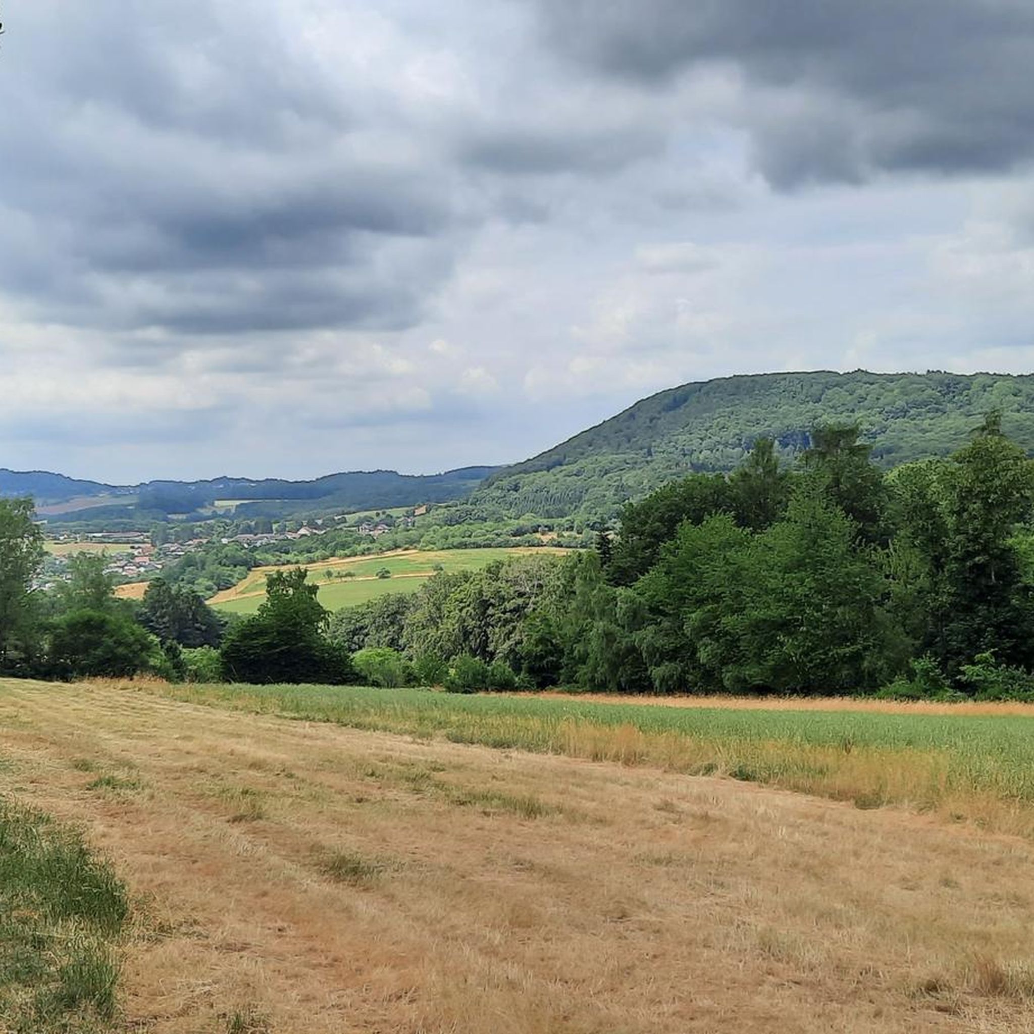
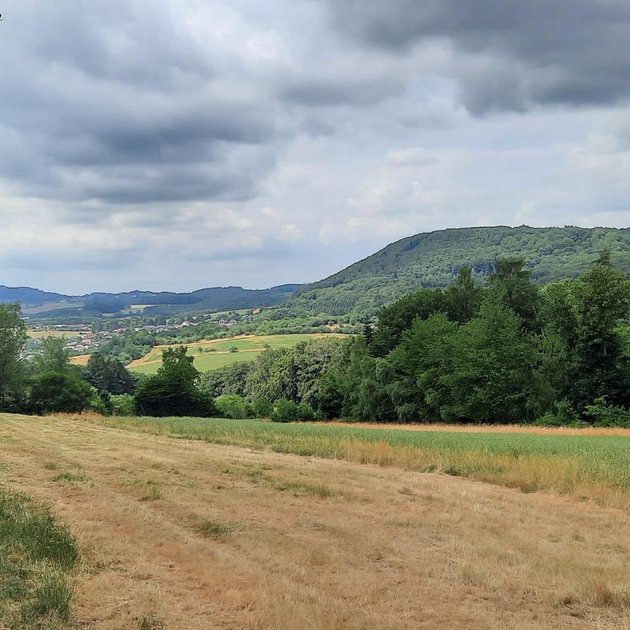
この開けた牧草地からは、谷を越えて、遠くに見える塔のある特徴的なシャウムベルクまで、景色が広く開けています。晴れた日には、空が特に広く感じられ、風景はまるで絵画のようです。 ヒント:完璧な写真スポット – 特に午後の遅い時間、光が塔を暖かい色で照らす頃がおすすめです。
0
0

🌀 Healing Place & Energy Station Momberg A special place – not loud, not spectacular, but powerful. Anyone who spends a moment here quickly realizes: You don't have to be able to explain everything. I come here often – not because of what's there, but because of what I don't carry around with me when I leave.
0
1
🌲💧 Larch Forest Watering Hole – a tranquil spot amidst the greenery This small watering hole suddenly appears between ancient larches – quiet, hidden, almost a little enchanted. Not a large rest area, not a viewpoint – but one of those moments when you pause for a moment and realize: "This is exactly why I go hiking." For me, it's a very special place on the Rötelstein Trail.
0
1

well, can you really see Güdingen???? Wonderful view from the Rötelsteinpfad over Güdesweiler and the Saarland.
0
0

komootモバイルアプリでインスピレーションを得よう


