アダークラアのおすすめMTBライド
4.5
(572)
3,058
ライダー
146
ライド
アダークラア周辺でのマウンテンバイクは、その地形を最大限に楽しむのに最適なスポーツですが、ライドのスタート地点を探すのが難しいこともあります。アダークラア周辺でおすすめのルートが見つかるように、人気マウンテンバイクルートをご紹介します。
最終更新日: 11月 3, 2026
4.6
(39)
140
ライダー
43.3km
03:39
790m
790m
中程度のマウンテンバイクライド. ある程度のフィットネスレベルが必要です。 高度なライディングスキルが必要です。
4.3
(3)
10
ライダー
中程度のマウンテンバイクライド. ある程度のフィットネスレベルが必要です。

5.0
(2)
16
ライダー
中程度のマウンテンバイクライド. ある程度のフィットネスレベルが必要です。
10
ライダー
53.0km
03:11
380m
380m
中程度のマウンテンバイクライド. ある程度のフィットネスレベルが必要です。
4.9
(11)
11
ライダー
中程度のマウンテンバイクライド. ある程度のフィットネスレベルが必要です。 高度なライディングスキルが必要です。
さらに多くのルートや他のユーザーのおすすめ情報を確認できます。
すでにアカウントをお持ちですか?
おすすめのツアーは他のkomootユーザーが実際に経験した何千ものアクティビティに基づいています。
無料アカウントで今日から始めよう
次の冒険が待っています。

コミュニティからのヒント


The view of Vienna from the vineyards on the Bisamberg hill uniquely blends nature and city life. Between the rows of vines, the panorama unfolds, revealing the Danube, the skyline, and striking buildings on the horizon. It's an atmospheric vantage point, especially beautiful in the warm light of the evening.
6
0
Elisabethhöhe offers a stunning panoramic view over the Danube Valley and the surrounding hills. On a clear day, the view extends far across the floodplain towards Vienna and into the Weinviertel region. It's an ideal spot for a short break to enjoy the vastness and tranquility of the landscape.
6
0
The Elisabeth Column stands proudly atop Bisamberg hill, offering a beautiful view of the Danube and the surrounding countryside. A panorama unfolds between forest and open fields, encompassing the river, floodplains, and rolling hills. It's a tranquil spot, a historical monument, and a rewarding vista all in one.
6
0
From Elisabethhöhe, a sweeping view opens up across the Danube Valley with its meadows, fields, and the gently flowing Danube. On a clear day, the panorama extends far into the Weinviertel region and to the rolling hills of Lower Austria. A beautiful spot for a break to soak in the scenery and the vastness of the landscape.
1
0

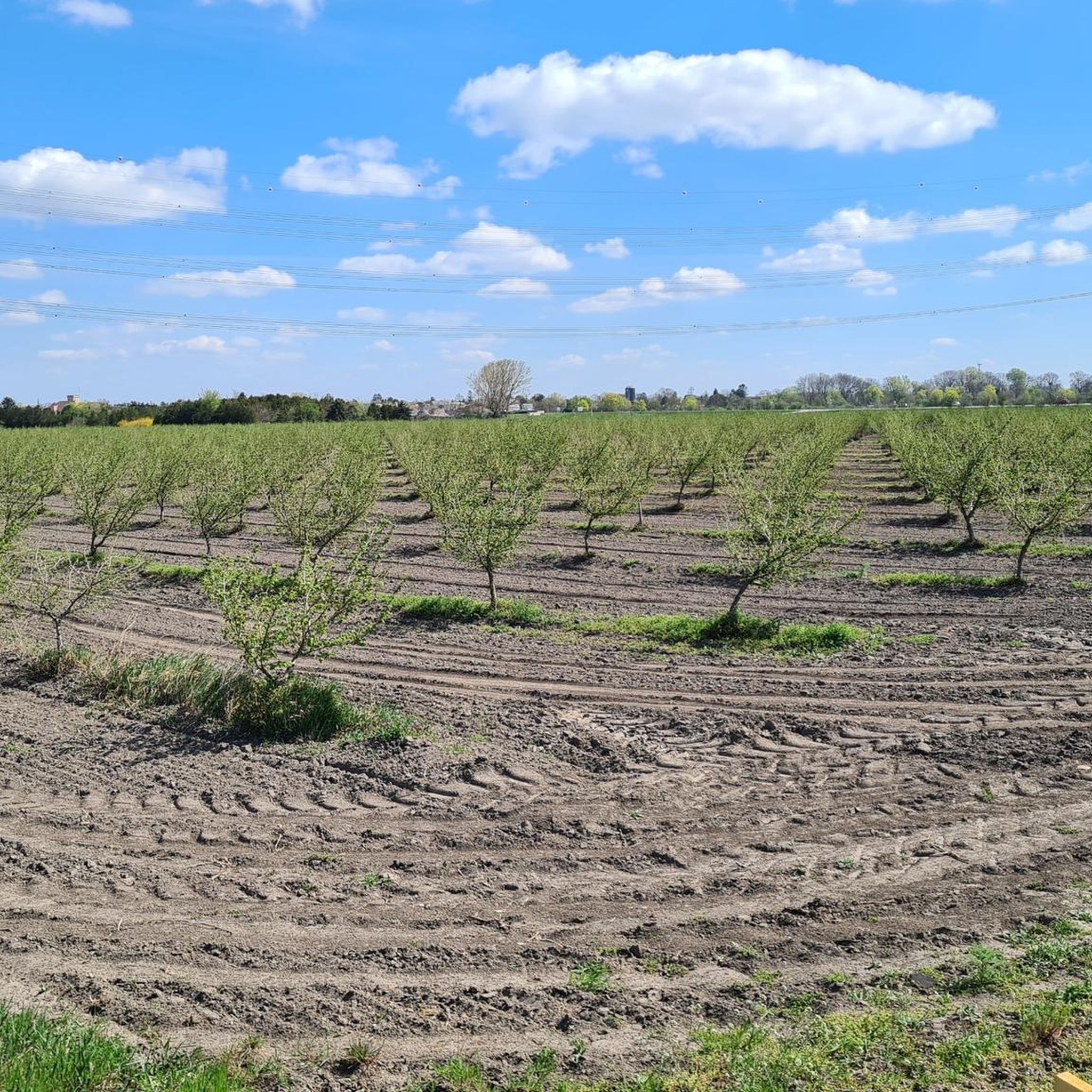
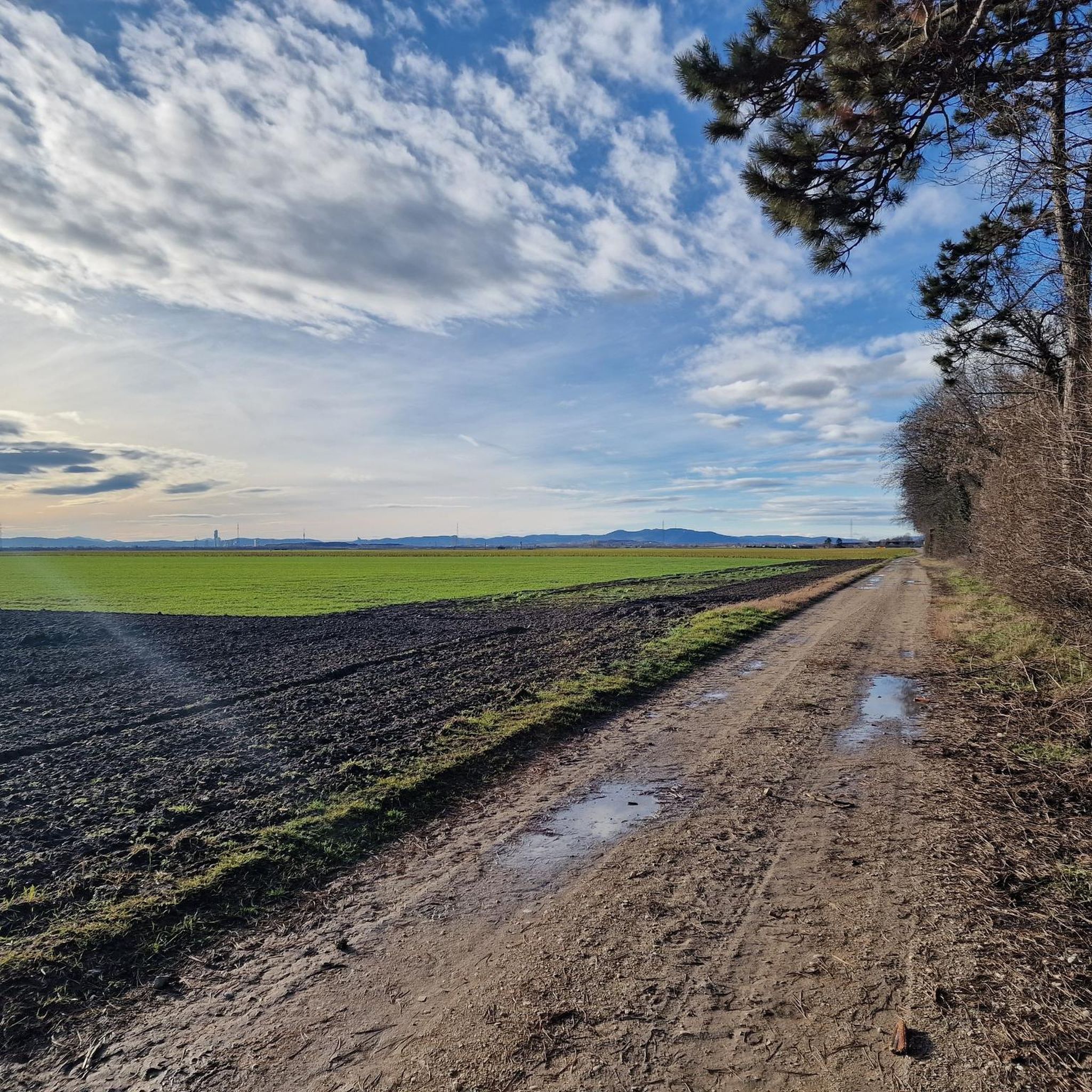
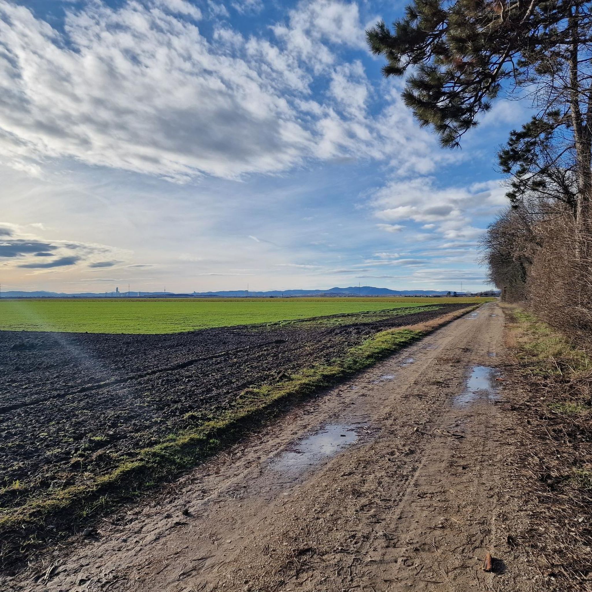
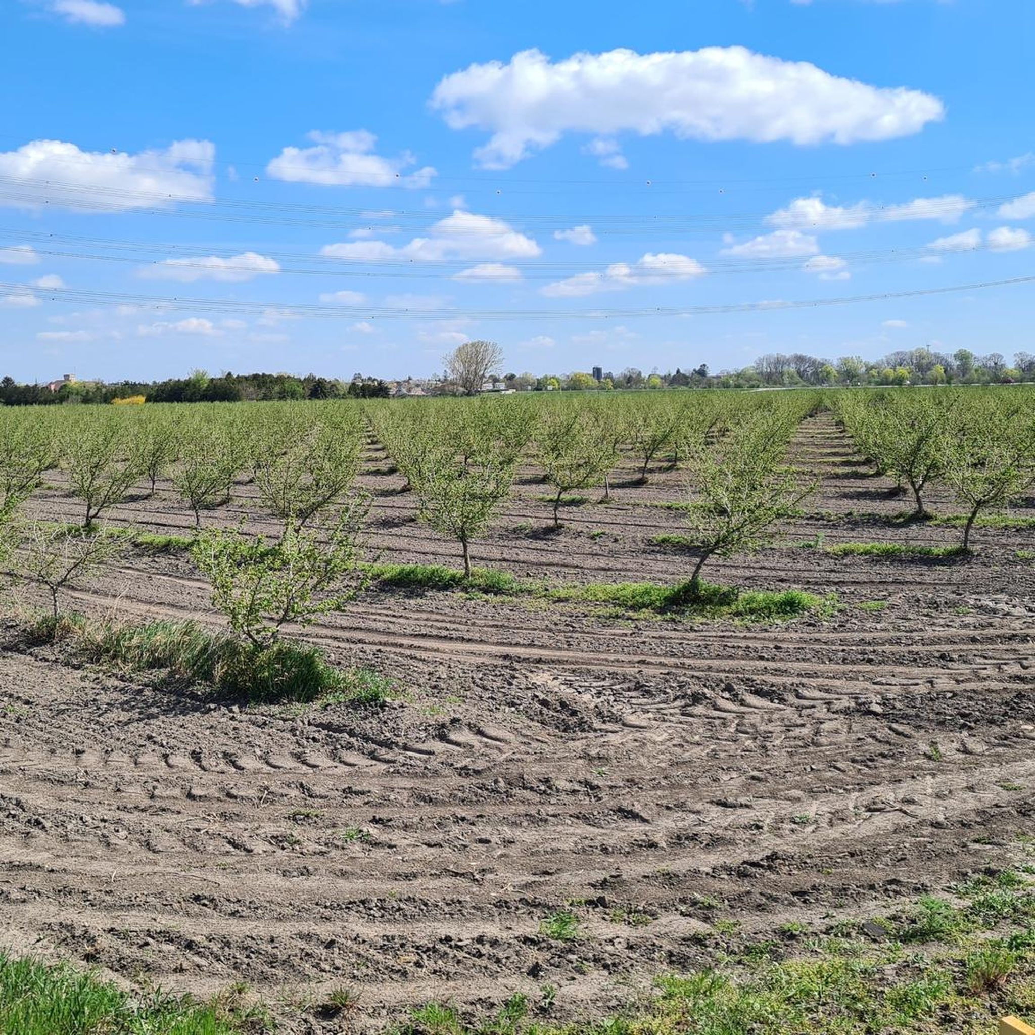
The Marchfeld Canal leads through the Marchfeld region, the "vegetable garden of Austria" (as the sign says), to Schloss Hof, 62.5 km away. The partially gravelled paths offer a leisurely ride without any major inclines. The Marchfeld Canal is used for irrigation, and cycling along it, you can clearly see the effort that goes into making sure the lettuce or asparagus turns out the way it should... The information boards, which are placed repeatedly along the route, provide interesting information about the region. Approximately halfway along the cycle path, there is also a dedicated information center where you can get maps, etc.
1
0
The Marchfeld Canal leads through the Marchfeld region, the "vegetable garden of Austria" (as the sign says), to Schloss Hof, 62.5 km away. The partially gravelled paths offer a leisurely ride without any major inclines. The Marchfeld Canal is used for irrigation, and cycling along it, you can clearly see the effort that goes into making sure the lettuce or asparagus turns out the way it should... The information boards, which are placed repeatedly along the route, provide interesting information about the region. Approximately halfway along the cycle path, there is also a dedicated information center where you can get maps, etc.
2
0
アダークラアでのの人気観光スポット

komootモバイルアプリでインスピレーションを得よう


さらに探索
他の地域の最高のMTBトレイルを見てみましょう。
