シュプリューゲンのおすすめウォーキング&ハイキングルート
4.6
(346)
2,425
ハイカー
41
ハイキング
シュプリューゲン周辺でのハイキングは、景色を満喫するのに最適な手段のひとつですが、適切なハイキングルートを見つけることは簡単ではありません。 シュプリューゲン周辺の人気ハイキング&ウォーキングコースを参考にすれば、行きたいルートをすぐに見つけられます。
最終更新日: 10月 17, 2026
4.5
(56)
326
ハイカー
12.8km
04:39
810m
810m
中程度のハイキング. ある程度のフィットネスレベルが必要です。 進みやすいルートです。あらゆるスキルレベルに適しています。
4.8
(29)
189
ハイカー
6.47km
02:32
490m
490m
中程度のハイキング. ある程度のフィットネスレベルが必要です。 進みやすいルートです。あらゆるスキルレベルに適しています。

4.7
(25)
128
ハイカー
16.4km
06:10
810m
810m
難しいハイキング. 標準以上のフィットネスレベルが必要です。 全般的に進みやすいルートです。安定して歩行できる技術が必要です。
4.6
(14)
84
ハイカー
13.5km
03:48
270m
270m
中程度のハイキング. ある程度のフィットネスレベルが必要です。 全般的に進みやすいルートです。安定して歩行できる技術が必要です。
4.3
(11)
58
ハイカー
9.47km
02:50
300m
300m
中程度のハイキング. ある程度のフィットネスレベルが必要です。 全般的に進みやすいルートです。安定して歩行できる技術が必要です。
さらに多くのルートや他のユーザーのおすすめ情報を確認できます。
すでにアカウントをお持ちですか?
おすすめのツアーは他のkomootユーザーが実際に経験した何千ものアクティビティに基づいています。
無料アカウントで今日から始めよう
次の冒険が待っています。
シュプリューゲン周辺で人気

Alpine Passes Trail - サウファーシラールトリアルド 700km インスラールト
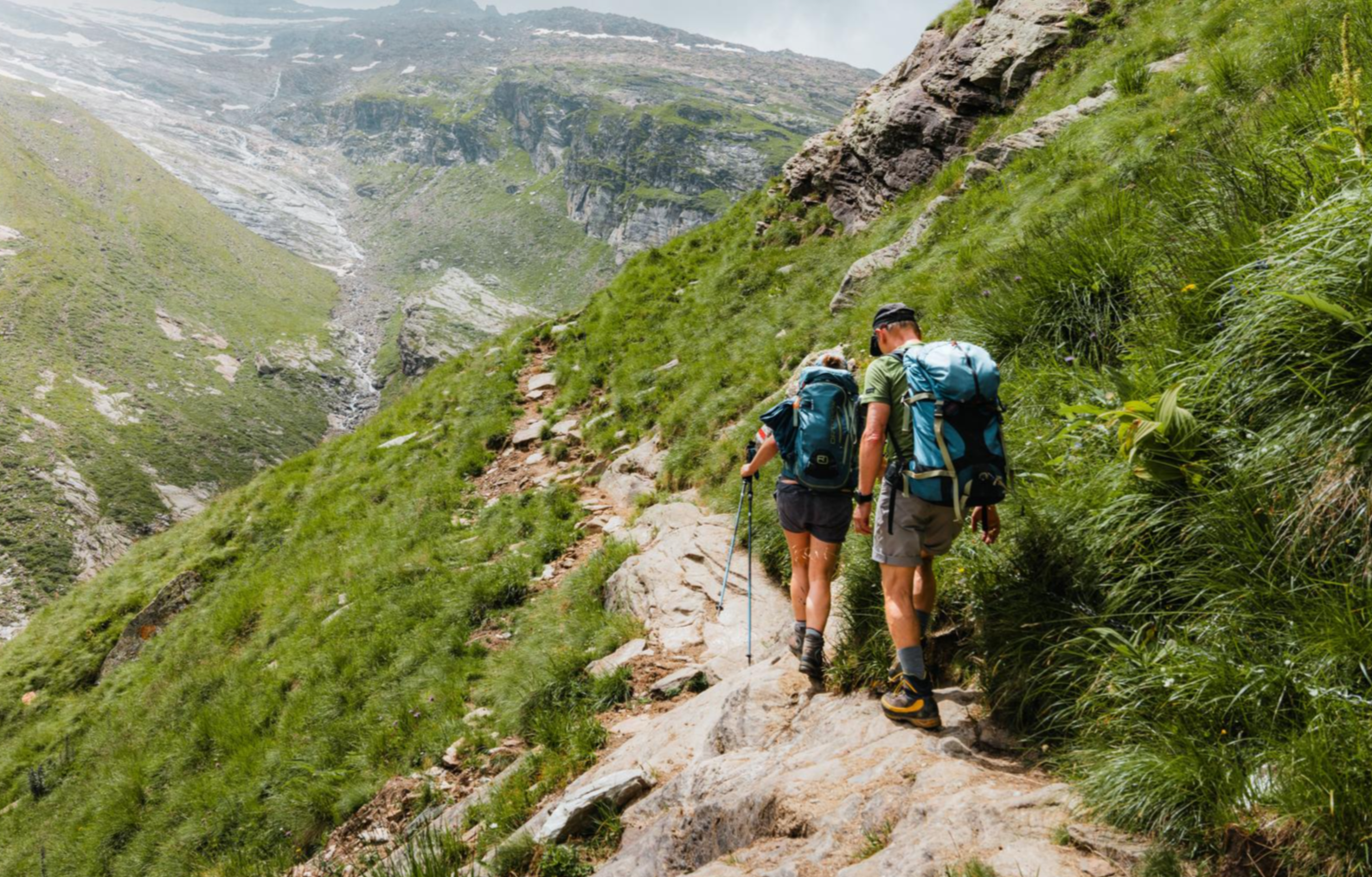
Mountain worlds and gorge magic – adventure hikes in the Viamala Region
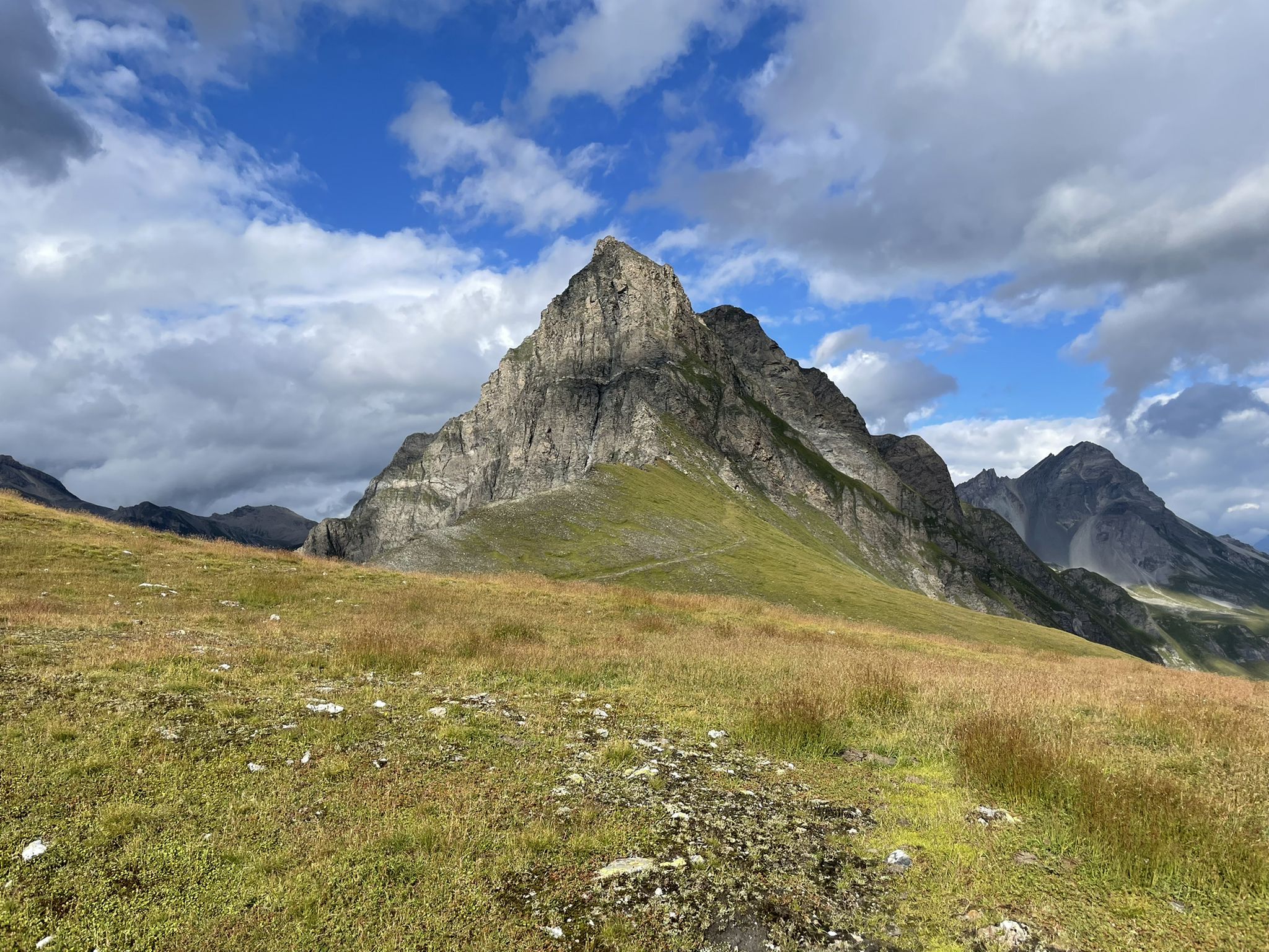
グラウビュンデンの壮大な自然公園 – バル・スルーゼからザフィエンタル
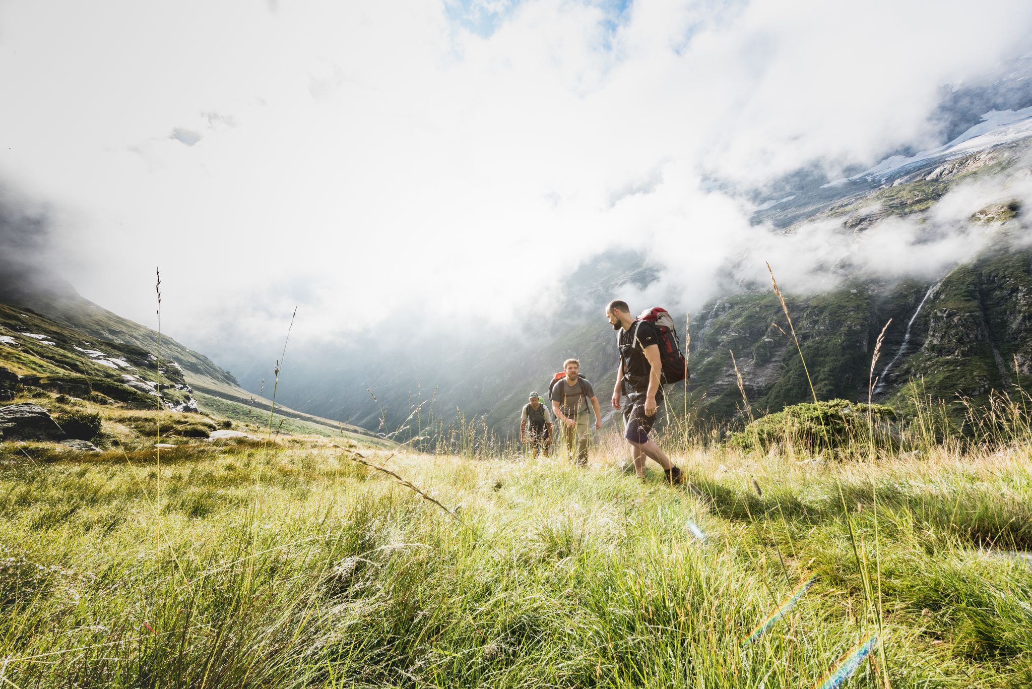
Over hill & dale – Viamala Hiking Paradise
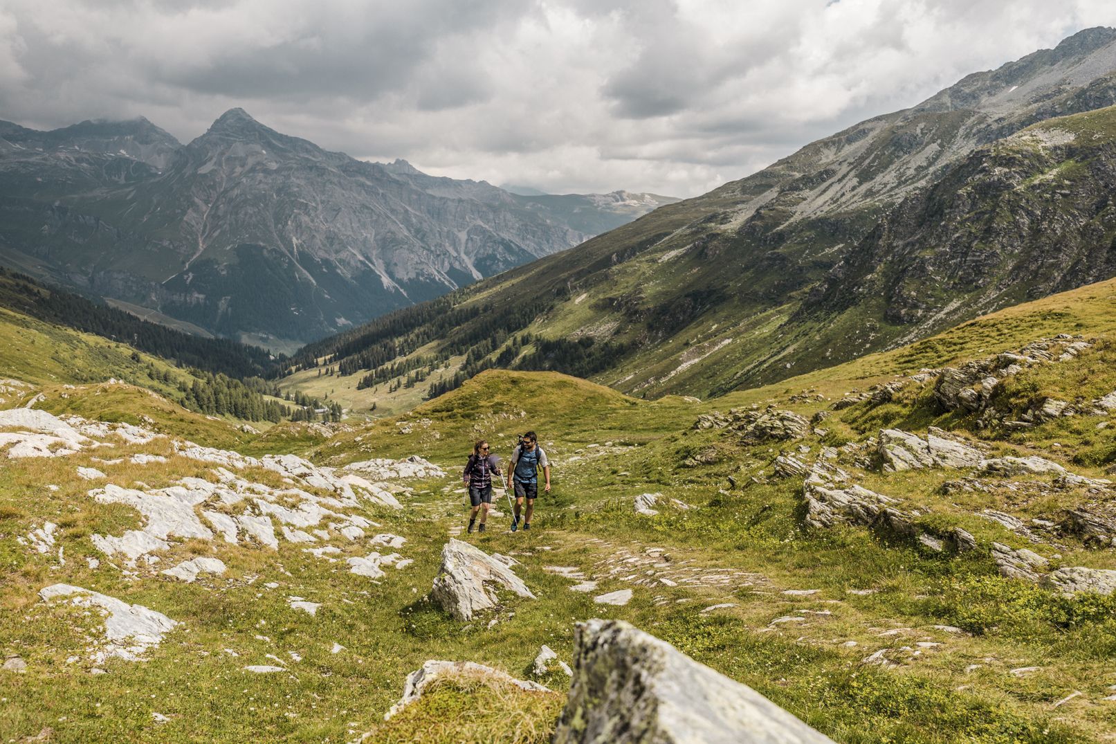
深い峡谷、滝とターコイズブルーの湖の間 - ヴィア・スプラーガ
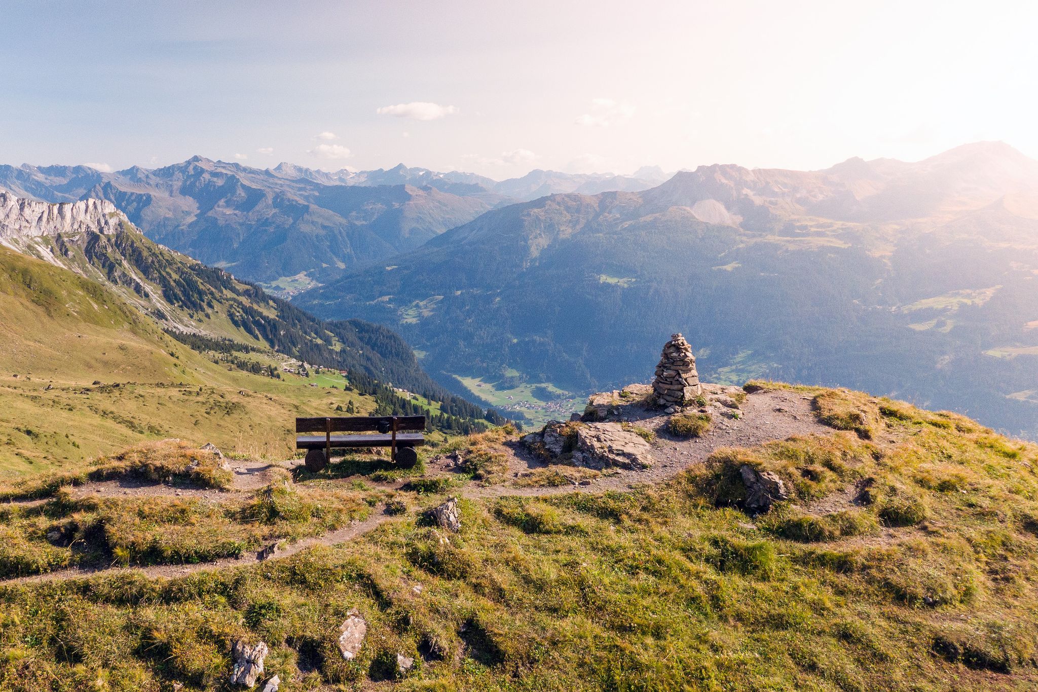
Long-distance hiking in the Grisons — 3 routes in Switzerland
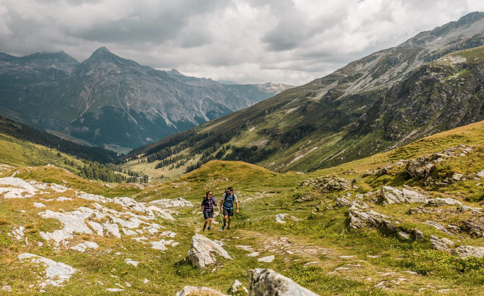
On the viaSpluga from Thusis to Chiavenna
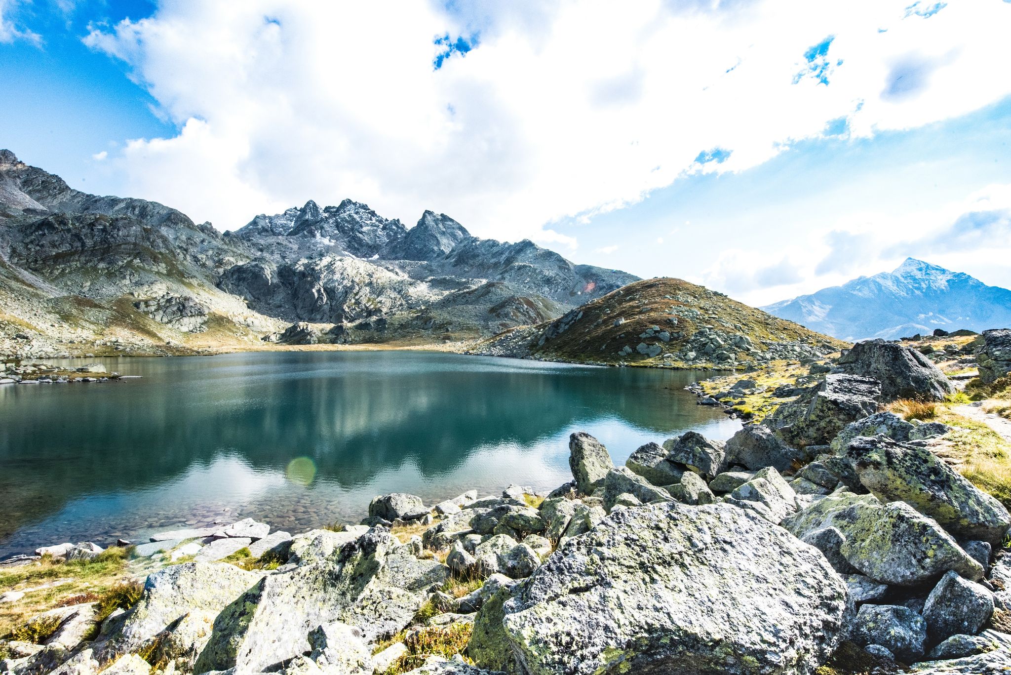
Viamala – a hiking paradise in the heart of the Grisons in Switzerland
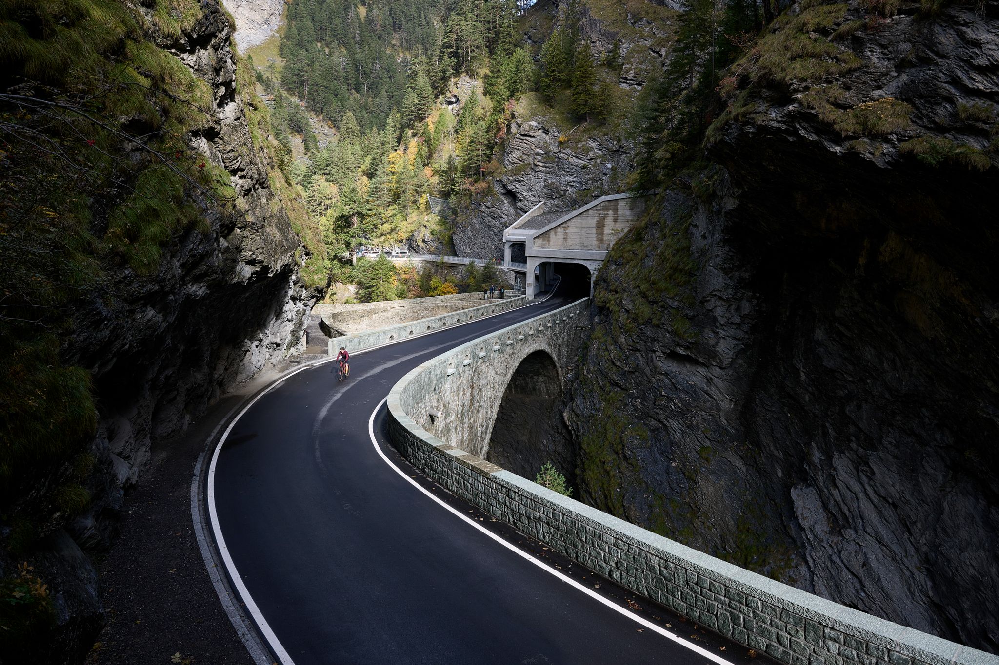
Gravel bike experiences in Viamala: Between gorges, passes, and castles
Destination Viamala – discover Switzerland’s best nature by bicycle
シュプリューゲンでのの他の冒険


コミュニティからのヒント


This plain is beautiful with its streams, diverse flora and fauna and breathtaking scenery and views
0
0
The lake's location is unique; it already had 16 degrees Celsius today. A breathtaking landscape. The flora and fauna are also unique and diverse. Pure enjoyment!
1
0

An incredibly beautiful place, which we easily reached on foot from Splügen. The hut is not staffed, but can be booked for one night. Drinking water is fetched from the spring by boat... row across the upper Surettasee, enjoy the panorama, and refill your drinking water supplies at the spring... a truly adventurous experience.
1
0

The path zigzags through the forest up or down the mountain.
0
1


モンテスプルガ SO モンテスプルガの山村は、標高1908mに位置し、ヴァル・サン・ジャコモ(ヴァッレ・スプルガとも呼ばれる)の始まりにあり、スプルガ峠の峠から約3kmの地点にあります。この場所は、ピッツォ・タンボのようなこの地域の国境の頂の近く、ヴァル・サン・ジャコモとヴァル・ロガが出会う、水と牧草が豊富な盆地に形成されました。1927年、モンテスプルガの約2km南に位置するダムの建設により、トリエンテ・リロが村の下にあるモンテスプルガ湖にせき止められました。 峠道沿いの数軒の家、レストラン、ホテル、店、そして古い税関の建物「ラ・カーサ」があるこの村は、ほとんど変わっていません。1841年まで、ここにはスプルガ峠唯一の宿場と、唯一の礼拝堂であるサン・フランチェスコ・ダッシジ礼拝堂がありました。後者は、1822年のスプルガ峠の新道路完成後、1832年に奉献されました。すでに1767年には、スイスにおける教皇大使であり、後の枢機卿であるルイージ・ヴァレンティ・ゴンザーガが、宿場に小さな礼拝堂を設置する許可を与えていました。 サン・ベルナルディーノ・トンネルが開通して以来、峠は冬の間は閉鎖されています。3つの通り(ヴィア・ドガーナ、ヴィア・フェッレ、ヴィア・ヴァル・ロガ)で構成されるこの村は、イタリアとスイスの両方から孤立する可能性があります。 モンテスプルガは、周辺の山々への数多くのハイキング、登山、スキーツアーの出発点であり、国境を越える長距離遊歩道ヴィア・スプルガの通過地点でもあります。 テキスト/出典: wikipedia.org https://de.wikipedia.org/wiki/Montespluga
11
0

komootモバイルアプリでインスピレーションを得よう


さらに探索
他の地域の最高のハイキングを見てみましょう。
