クロイセンのおすすめランニングルート
4.3
(440)
7,010
ランナー
13
ランニング
クロイセンでランニングを楽しめば、このエリアをより深く知ることができます。ランニングに適した美しいルートが見つかるように、komootがクロイセンでのルートのコレクション全体を評価して選び抜いた、人気ランニングトレイルをご紹介します。ルートをクリックして詳細を表示し、他のユーザーがアップロードした役立つ情報や写真を閲覧しましょう。
最終更新日: 10月 14, 2026
3.5
(2)
15
ランナー
8.82km
00:56
60m
60m
中程度のジョギング. ある程度のフィットネスレベルが必要です。 全般的に舗装された状態です。あらゆるスキルレベルに適しています。
5.0
(5)
5
ランナー
6.27km
00:40
90m
90m
中程度のジョギング. ある程度のフィットネスレベルが必要です。 全般的に舗装された状態です。あらゆるスキルレベルに適しています。

6
ランナー
7.27km
00:46
80m
80m
中程度のジョギング. ある程度のフィットネスレベルが必要です。 全般的に舗装された状態です。あらゆるスキルレベルに適しています。
7
ランナー
4.92km
00:31
40m
40m
初級者向けランニング. あらゆるフィットネスレベルに適しています。 全般的に舗装された状態です。あらゆるスキルレベルに適しています。
5
ランナー
7.03km
00:44
70m
70m
中程度のジョギング. ある程度のフィットネスレベルが必要です。 全般的に舗装された状態です。あらゆるスキルレベルに適しています。
さらに多くのルートや他のユーザーのおすすめ情報を確認できます。
すでにアカウントをお持ちですか?
おすすめのツアーは他のkomootユーザーが実際に経験した何千ものアクティビティに基づいています。
無料アカウントで今日から始めよう
次の冒険が待っています。
クロイセン周辺で人気
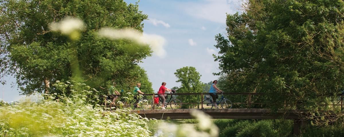
The most beautiful long-distance cycle paths in Franconia
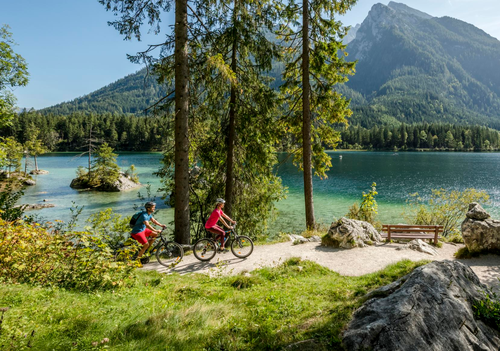
Discover Germany's diversity on enchanting cycling routes
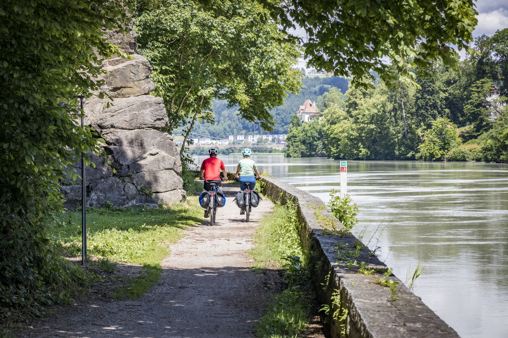
Kilometres of cycling fun – long-distance cycle routes in Bavaria
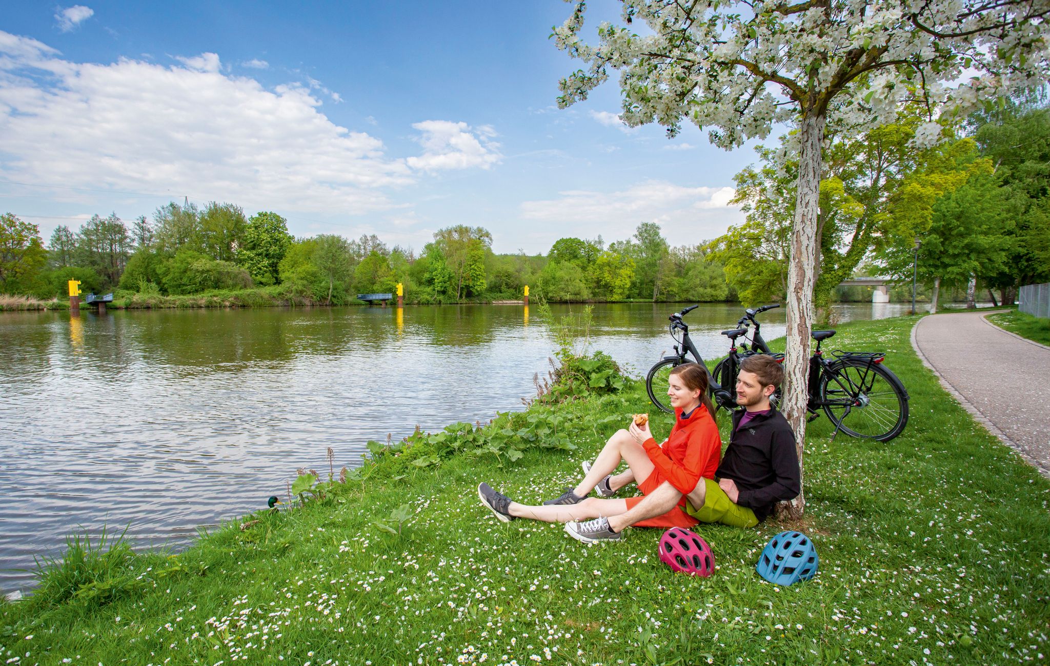
GERMANY'S DIVERSITY ON ONE RIVER — THE MAIN RIVER CYCLE ROUTE
フランコニアン・マウンテン・トレイル - 21のステージで至福の山頂へ
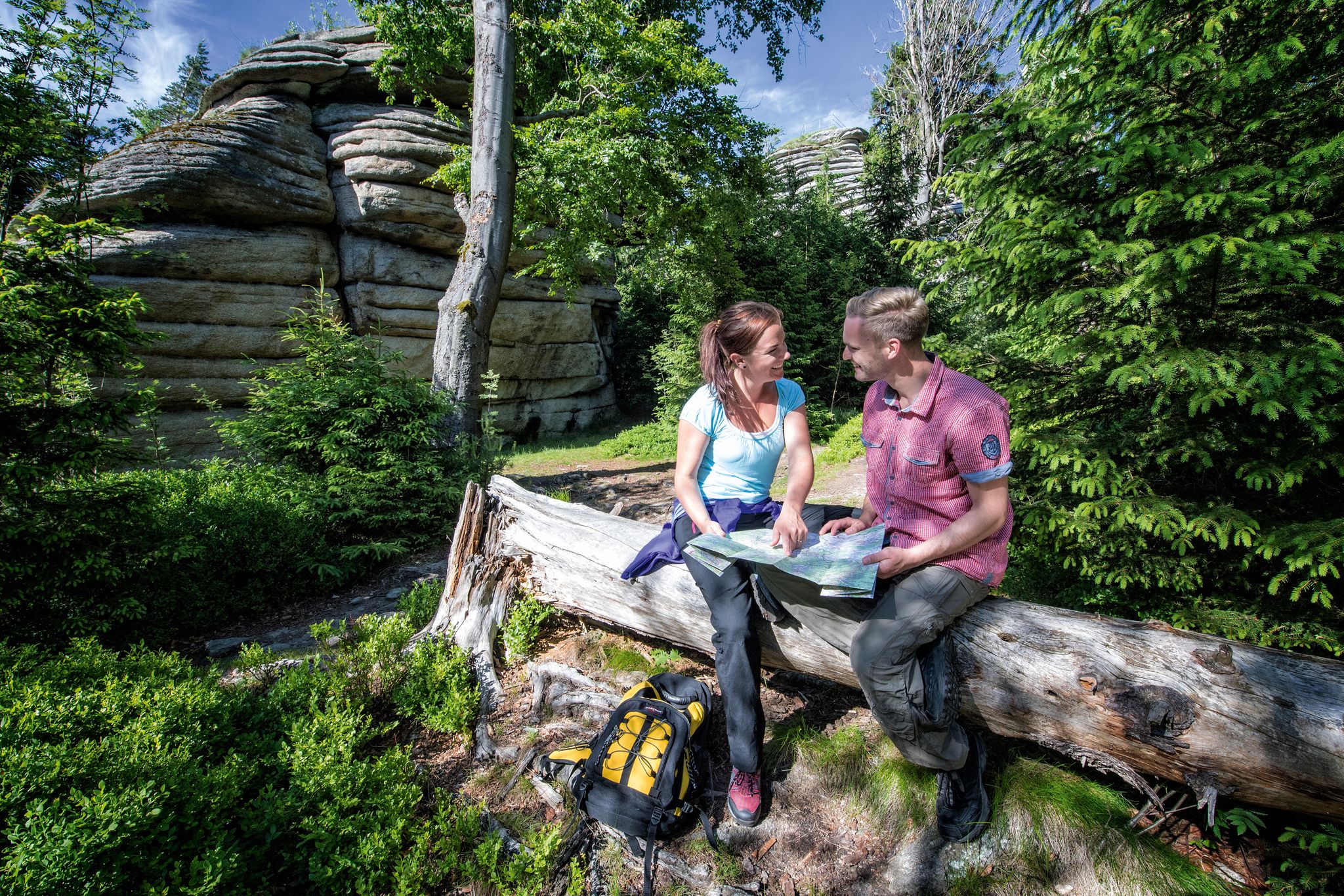
クロイセンでのハイキング
クロイセンでのサイクリング
クロイセンのロードバイクルート
クロイセンのMTBトレイル

クロイセンでののグラベルライド
クロイセンでのの他の冒険


コミュニティからのヒント

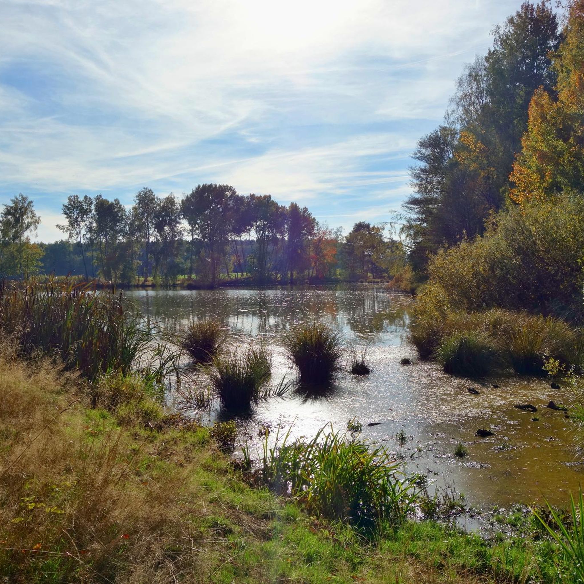
シュナーベルヴァイト近くの自然保護区にある美しい池。ここでは豊かな自然を満喫できます。多くの動物や水生生物を観察できます。ベンチがあり、休憩を誘います。おすすめの装備:適切なアウトドアウェア、虫除け・日焼け止め、双眼鏡 🔭☀️🐟
0
0
Craimoosweiherは、シュナーベルヴァイト近郊の自然保護区にあります。ここでは多くの自然を発見し、静寂を楽しむことができます。池では賑やかな活動があり、アヒル、ハジロアビ、魚、カエル、その他の動物を観察できます。小さなお子様連れの家族に最適です。道はしばしば非常に狭いですが、アウトドア用ベビーカーにも適しています。 🌳🐸🦆
0
0
木造のバードウォッチング小屋。ベンチと自転車置き場があります。ここからは湖の一部をきれいに眺めることができます。Craimoosweiherの鳥を、日差しや雨を避けながら観察できます。持っていくと良いもの:双眼鏡 🔭🦢🦆
0
0

Like most river sources, it's rather unspectacular, but if you're planning to cycle the Main cycle path anyway...
2
0

The two outflows in the north and south flow in different directions and converge again via other river systems near Bamberg. This system turns Franconian Switzerland into an "island."
1
0

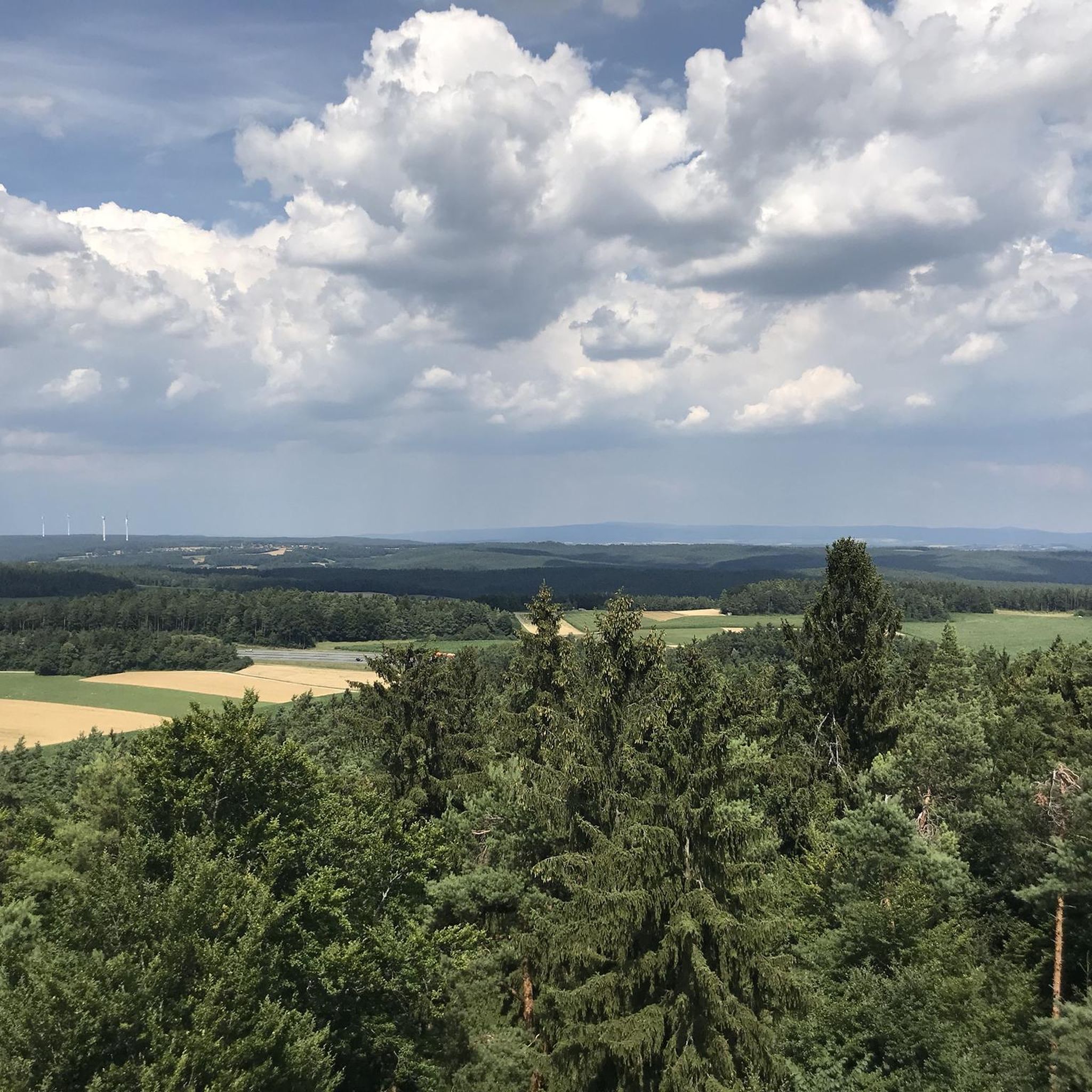
Beautiful viewpoint over the Craimoosweiher and also a good shelter in case of rain.
0
0

The **Old Town of Creußen** is a charming and historic gem in Franconian Switzerland that attracts many visitors. Here is some interesting information about this picturesque little town: ### General information - **Location**: Creußen is located about **13 kilometers south of Bayreuth** and is easily accessible from the B2 federal highway and the A9 motorway. - **History**: The town was elevated to city status **in 1358** by Emperor Charles IV. Many of the **historic walls, towers and gates** from this period have been preserved to this day. ### Special features of the Old Town - **Medieval charm**: The Old Town is characterized by **medieval architecture** and invites you to take a leisurely stroll. - **Jug Museum**: A visit to the **Jug Museum** offers insights into local history and culture. - **Heziloplatz**: A central square named after Margrave Hezilo, which is a popular meeting place. ### Activities - **City tours**: **Bookable tours** are available that allow you to take a tour of the old town. These last between **1 and 2 hours**, depending on the length. - **Historical-culinary walks**: These tours combine history with regional delicacies and are a great way to explore the city. ### Surroundings - The old town is surrounded by a **picturesque landscape** that invites you to linger and relax. The **Red Main** flows nearby and offers beautiful views.
1
0


komootモバイルアプリでインスピレーションを得よう


さらに探索
他の地域の最高のランニングトレイル & ルートを見てみましょう。
