ヴォルフラーツハウゼンのおすすめ登山&山歩きルート
7
ハイカー
4
ハイキング
BadTölz-Wolfratshausenの山々をもっと探索しませんか?このガイドでご紹介するのは、komootがヴォルフラーツハウゼンでの登山&山歩きのコレクション全体を評価して選び抜いた、このエリアの人気ルートです。あなたに合ったルートを見つけるには、他のユーザーがアップロードした役立つ情報や写真を閲覧し、クリック操作で簡単に表示できる詳細なデータを参考にしましょう。ヴォルフラーツハウゼンでの次の冒険にぴったりの登山&山歩きルートが見つかるはずです。
最終更新日: 8月 28, 2026
2
ハイカー
11.8km
03:13
170m
180m
中程度の登山ルート. ある程度のフィットネスレベルが必要です。 進みやすいルートです。あらゆるスキルレベルに適しています。
3
ハイカー
14.8km
03:55
140m
140m
中程度の登山ルート. ある程度のフィットネスレベルが必要です。 全般的に進みやすいルートです。安定して歩行できる技術が必要です。

無料新規登録
2
ハイカー
8.07km
02:10
100m
100m
中程度の登山ルート. ある程度のフィットネスレベルが必要です。 進みやすいルートです。あらゆるスキルレベルに適しています。
11.7km
03:05
110m
110m
中程度の登山ルート. ある程度のフィットネスレベルが必要です。 進みやすいルートです。あらゆるスキルレベルに適しています。
おすすめのツアーは他のkomootユーザーが実際に経験した何千ものアクティビティに基づいています。
無料アカウントで今日から始めよう
次の冒険が待っています。
ログインまたは登録

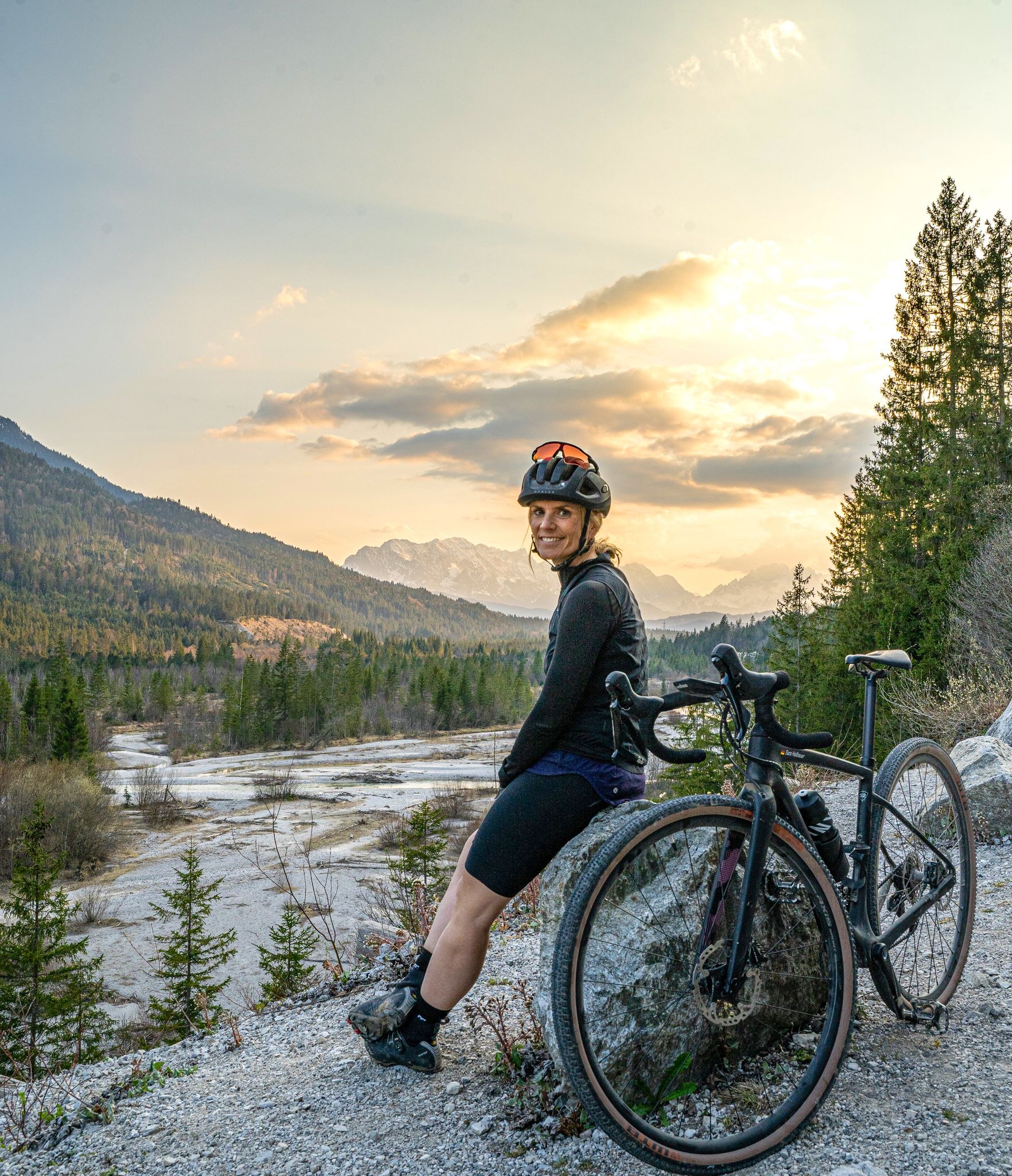
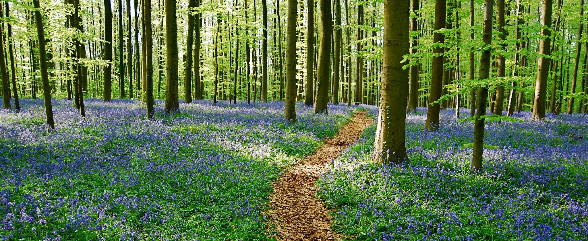
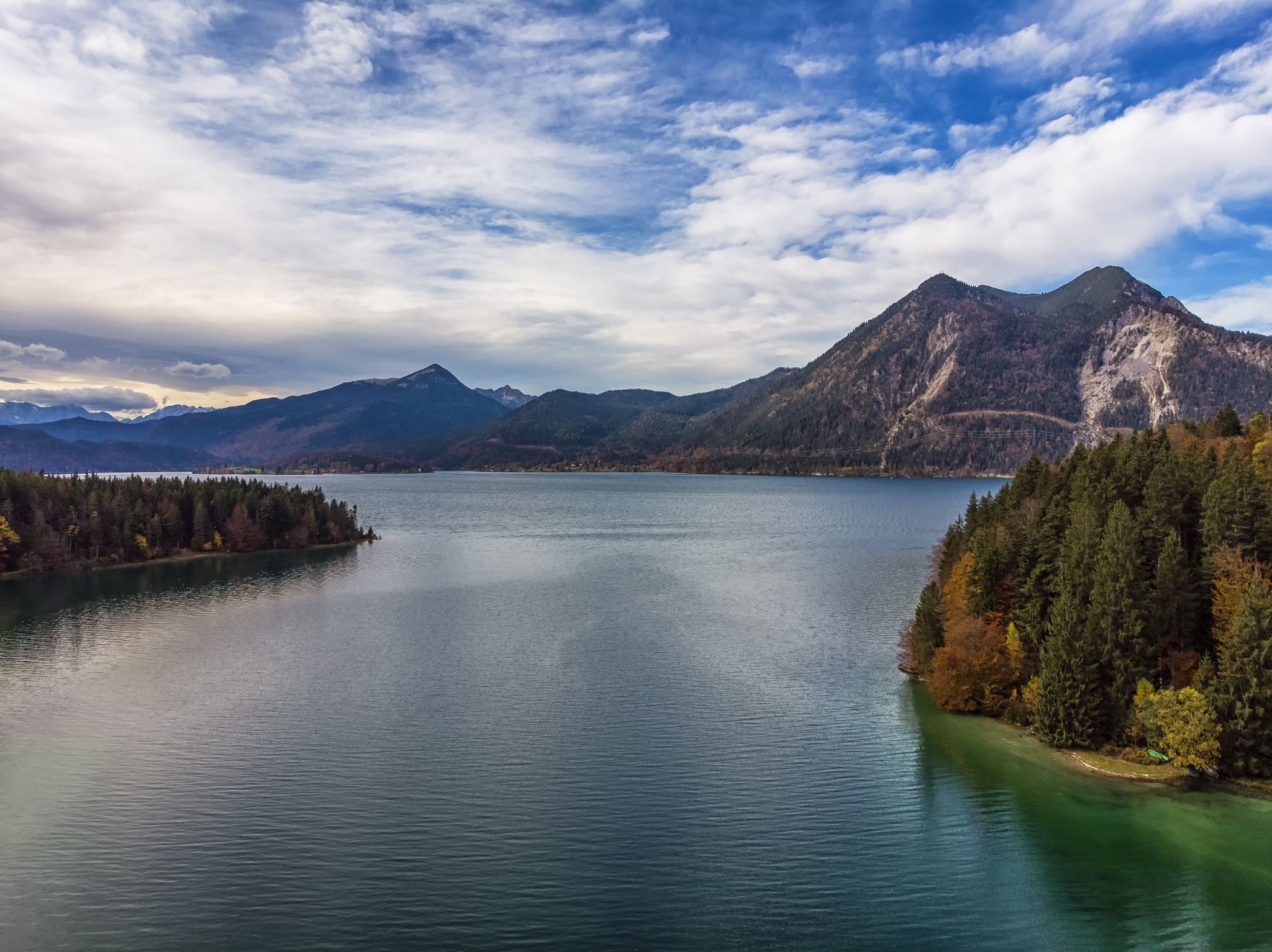
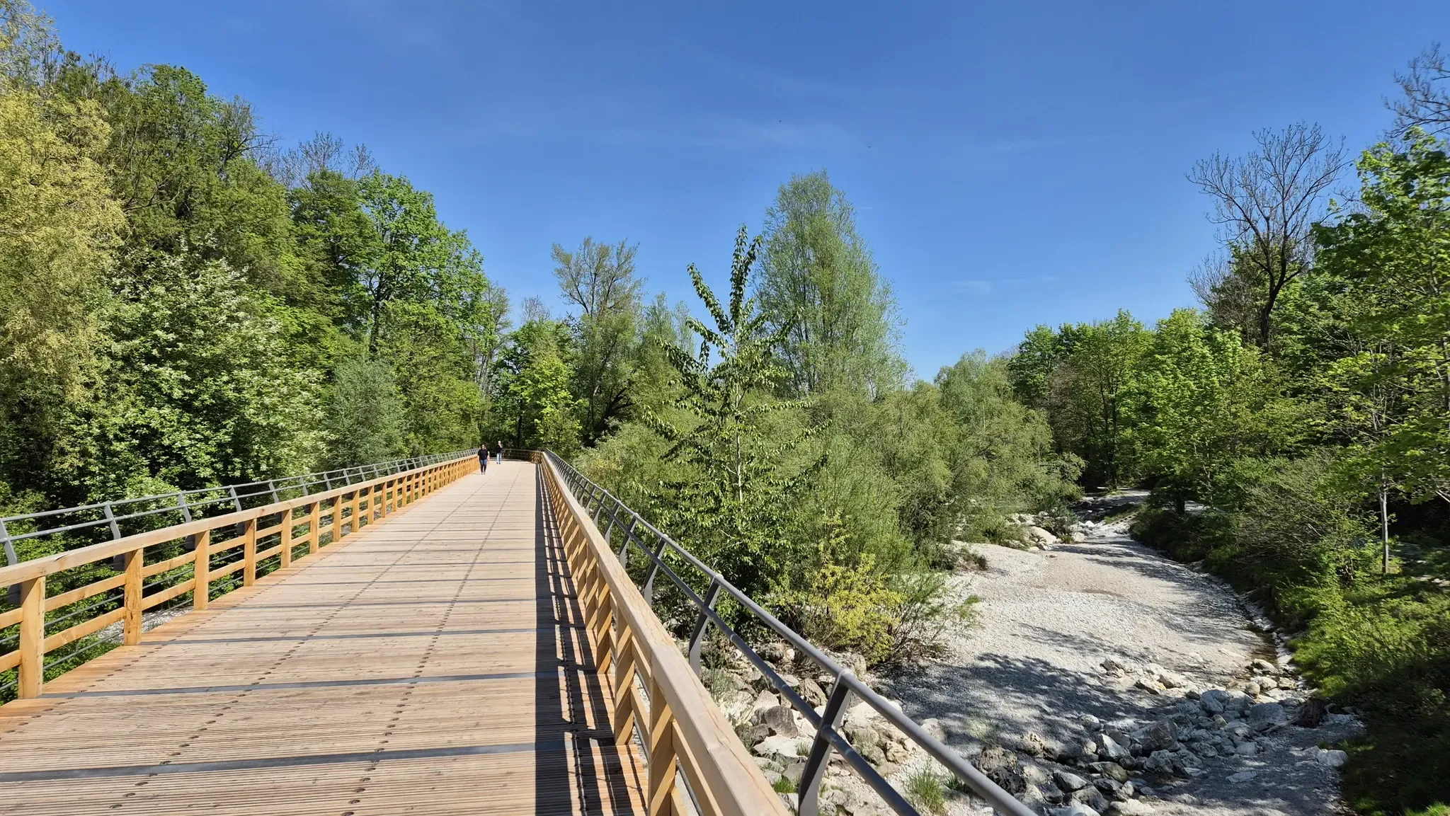
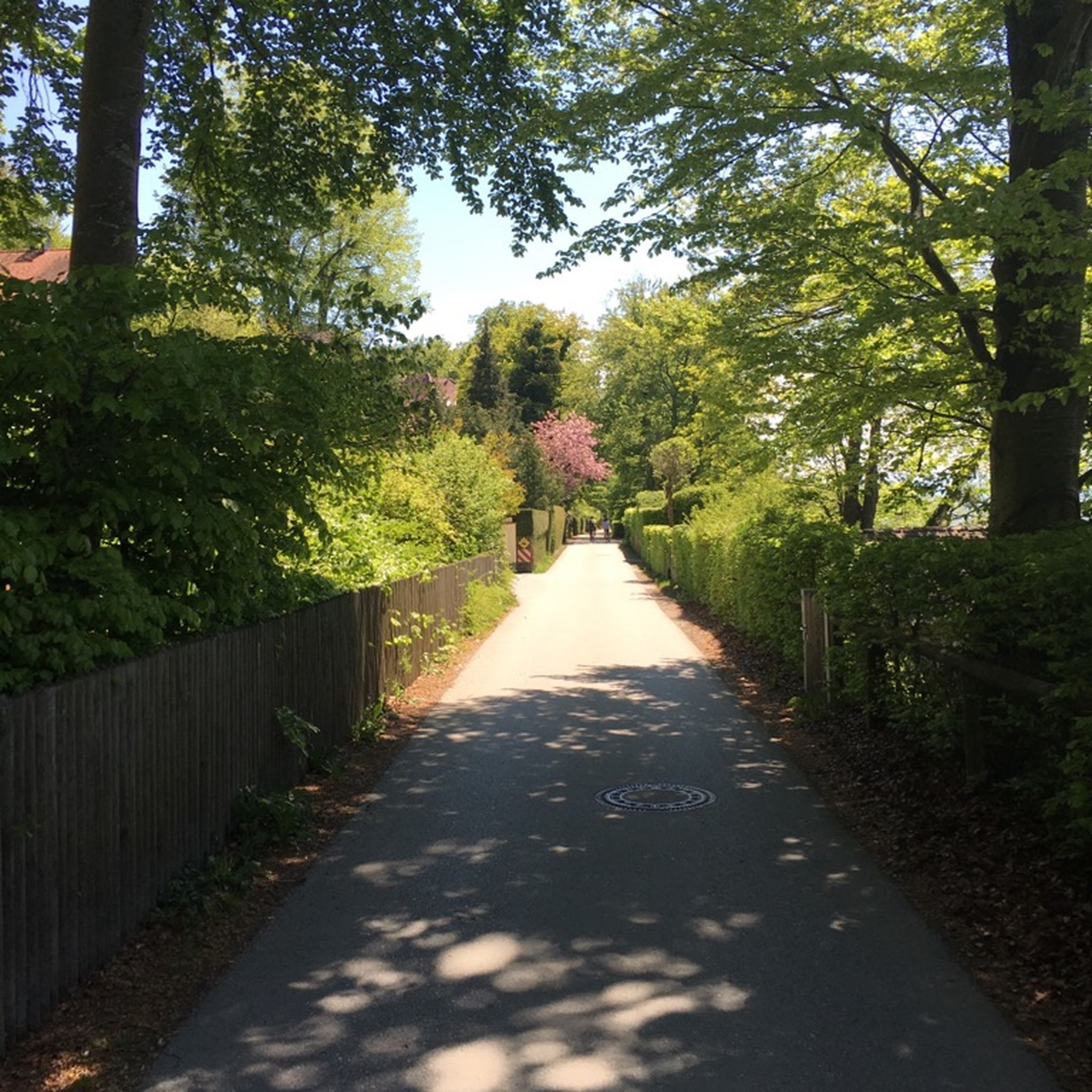
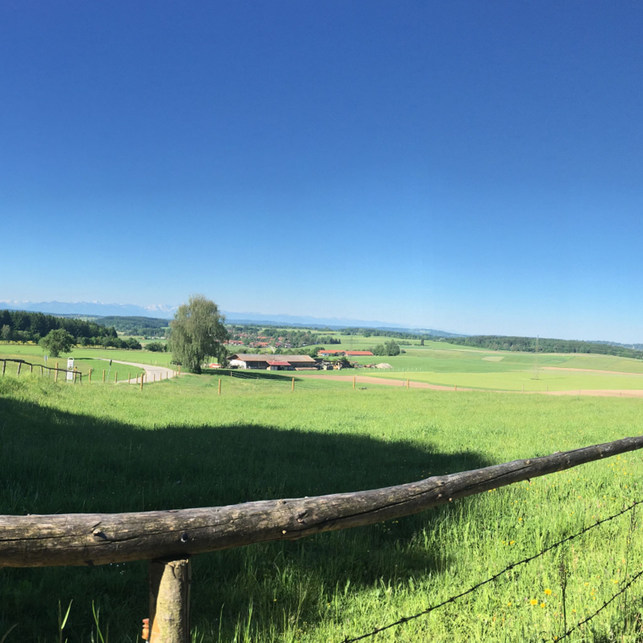
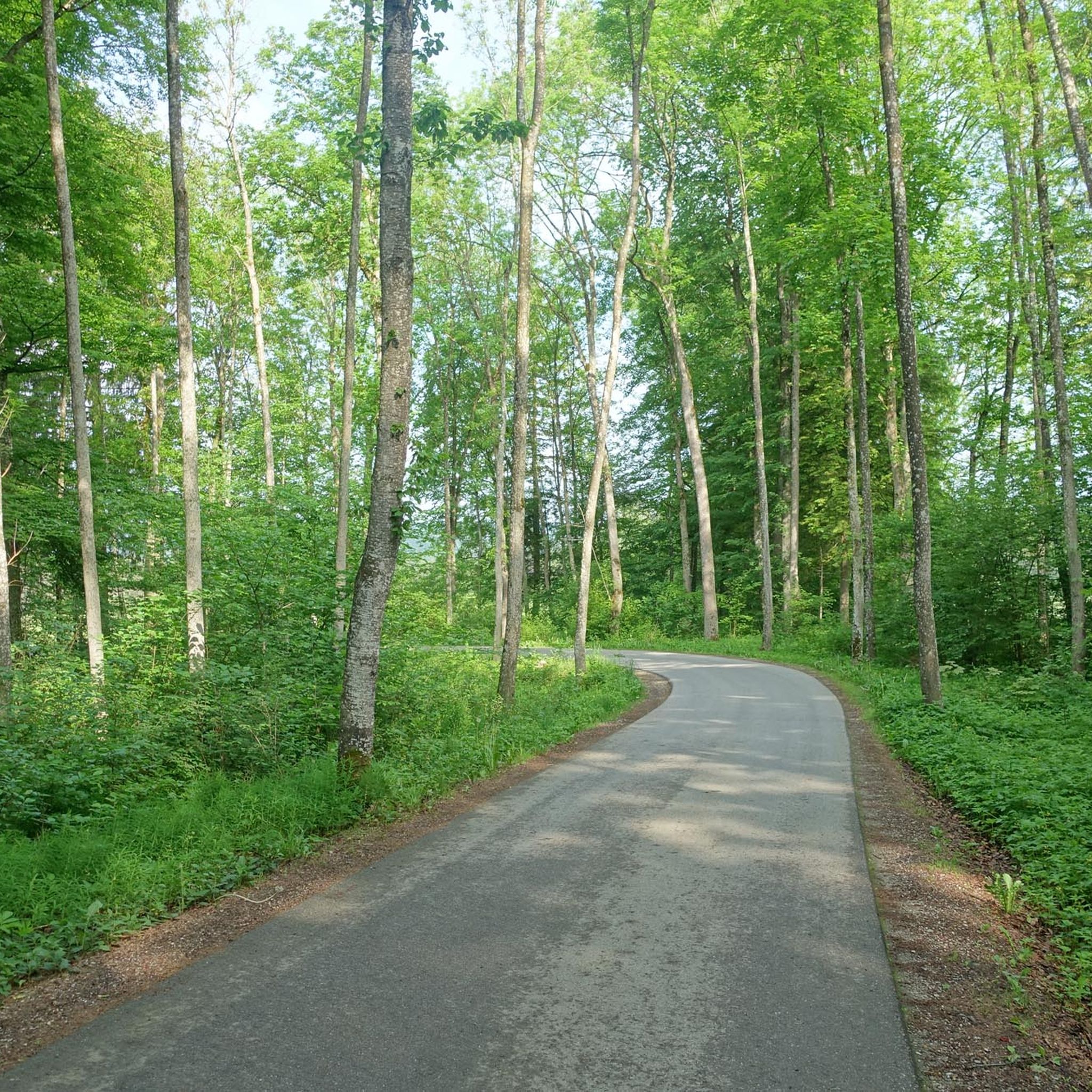
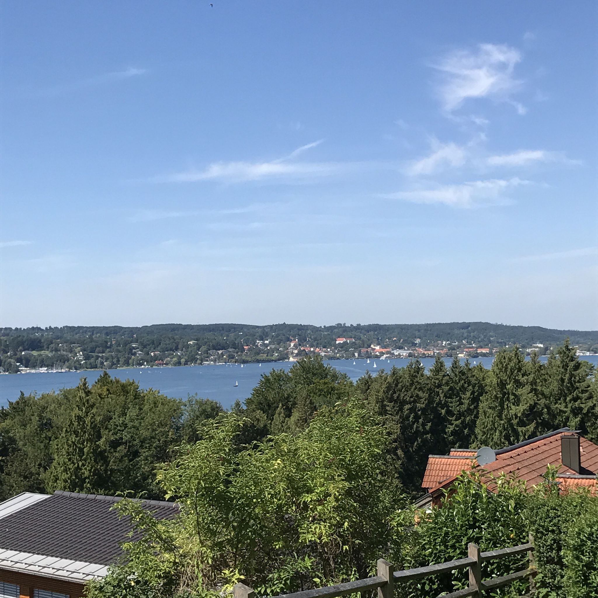
ヴォルフラーツハウゼンでのの他の冒険


コミュニティからのヒント

Wolfratshausen S-Bahn station (S7) – a remix of an existing highlight. Same location, same station, but now with a parenthetical addition so it qualifies as "new" and gets another point added to the Komoot map. Actually impressive: Sometimes all it takes is "(S7)" to secure a second chance at likes.
0
0


Small chapel of St. Anne above Berg
2
0

From there you have a magnificent view of the lake.
0
0
A very small but interesting chapel
0
0

Berg Castle in Berg on Lake Starnberg. Unfortunately, almost nothing can be seen from the land side.
0
0

At the water rescue station you can get directly to the lake.
4
0

ヴォルフラーツハウゼンでのの人気観光スポット

komootモバイルアプリでインスピレーションを得よう


さらに探索
他の地域の最高の登山ハイキング & ルートを見てみましょう。
