ライヒャースボアーンのおすすめ登山&山歩きルート
4.5
(819)
8,221
ハイカー
135
ハイキング
BadTölz-Wolfratshausenの山々をもっと探索しませんか?このガイドでご紹介するのは、komootがライヒャースボアーンでの登山&山歩きのコレクション全体を評価して選び抜いた、このエリアの人気ルートです。あなたに合ったルートを見つけるには、他のユーザーがアップロードした役立つ情報や写真を閲覧し、クリック操作で簡単に表示できる詳細なデータを参考にしましょう。ライヒャースボアーンでの次の冒険にぴったりの登山&山歩きルートが見つかるはずです。
最終更新日: 10月 7, 2026
4.7
(10)
142
ハイカー
7.85km
03:19
640m
640m
中程度の登山ルート. ある程度のフィットネスレベルが必要です。 全般的に進みやすいルートです。安定して歩行できる技術が必要です。
3.0
(3)
42
ハイカー
13.1km
04:14
520m
520m
中程度の登山ルート. ある程度のフィットネスレベルが必要です。 全般的に進みやすいルートです。安定して歩行できる技術が必要です。

1.0
(1)
29
ハイカー
11.0km
04:01
650m
650m
中程度の登山ルート. ある程度のフィットネスレベルが必要です。 全般的に進みやすいルートです。安定して歩行できる技術が必要です。
4.0
(2)
23
ハイカー
9.11km
02:56
350m
350m
中程度の登山ルート. ある程度のフィットネスレベルが必要です。 全般的に進みやすいルートです。安定して歩行できる技術が必要です。
22
ハイカー
7.58km
02:50
410m
410m
中程度の登山ルート. ある程度のフィットネスレベルが必要です。 全般的に進みやすいルートです。安定して歩行できる技術が必要です。
さらに多くのルートや他のユーザーのおすすめ情報を確認できます。
すでにアカウントをお持ちですか?
おすすめのツアーは他のkomootユーザーが実際に経験した何千ものアクティビティに基づいています。
無料アカウントで今日から始めよう
次の冒険が待っています。


コミュニティからのヒント

A rather lonely spot on the Rechelkopf, due to the long approach.
0
0

Preferably take the route via Sulzkopf, if you are coming from Gaißach, as the standard route recommended by komoot is very muddy.
1
0

It's worth spending a while here and immersing yourself in the atmosphere.
0
0

You can take a wonderful break at the small, lovingly restored chapel or at the alpine building. Please always treat the area with care and never leave any trash behind.
0
0

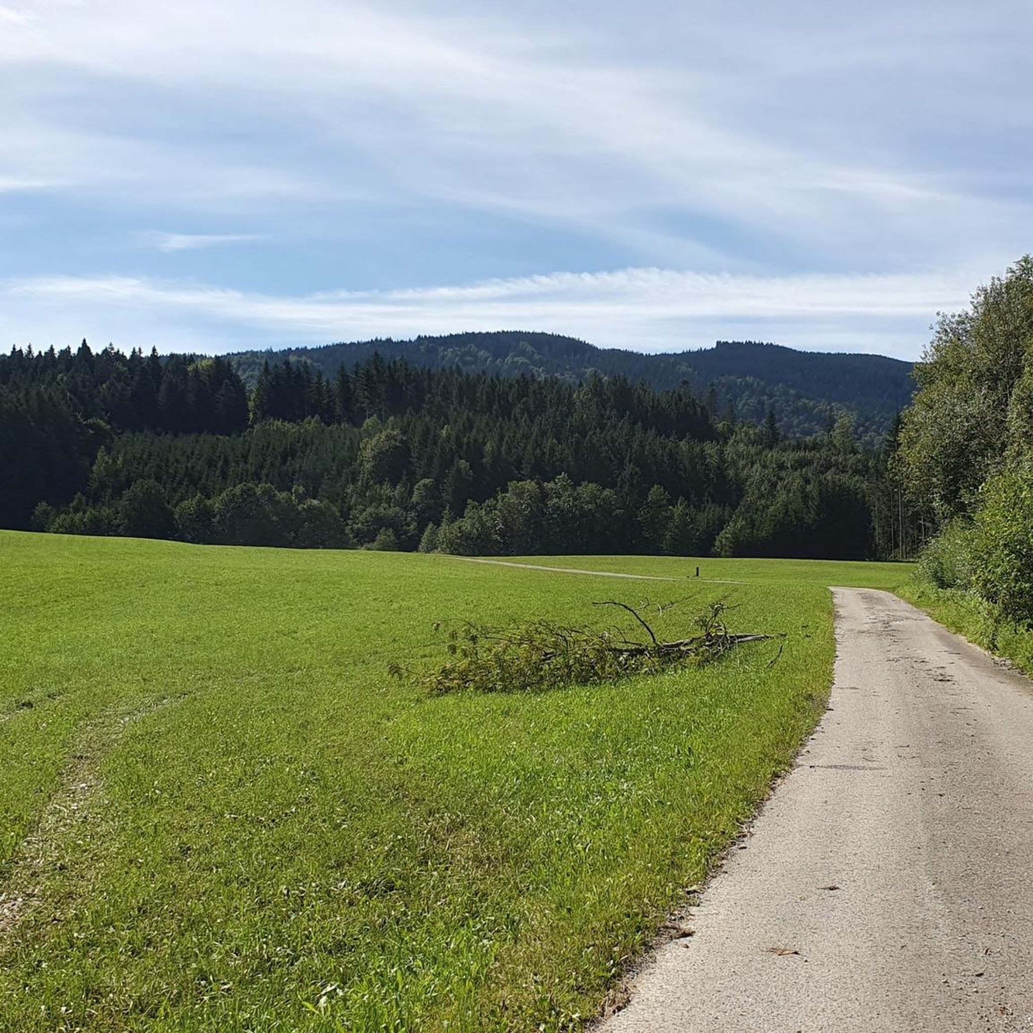
Beautifully situated, but unfortunately not managed. From here, the ascent begins along a meadow path to the Rechelkopf.
3
0

Summit at 1330m above sea level
1
0

In the evening on the descent, make sure you take a few minutes and enjoy the view and the sunset!
0
0
Great view of Lake Tegernsee and the mountains beyond. A bench and several places to stretch your legs in the meadow.
1
0

komootモバイルアプリでインスピレーションを得よう


さらに探索
他の地域の最高の登山ハイキング & ルートを見てみましょう。
