ルート

プランナー

機能

アップデート

App

ログインまたはサインアップ

アプリを入手

ログインまたはサインアップ

ルート
サイクリングルート
イタリア

トレント

トレントのおすすめツーリングルート

4.5

(32150)

339,789

ライダー

2,537

ライド

トレントでサイクリングを楽しめば、イタリアのこのエリアをより深く知ることができます。あなたにぴったりのトレントでのバイクライドが見つかるように、komootがサイクリングルートのコレクション全体を評価して選び抜いたルートをご紹介します。以下のルートをクリックして標高データや舗装状態の分析などの細かな情報を把握し、さらにkomootコミュニティのメンバーがアップロードした役立つ情報や写真も閲覧しましょう。

最終更新日: 8月 10, 2026

4.7

(559)

4,629

ライダー

#1.

アルト・ガルダのリマローキャニオンとサルカ谷のツアー — 環状ツアー

63.6km

04:15

920m

920m

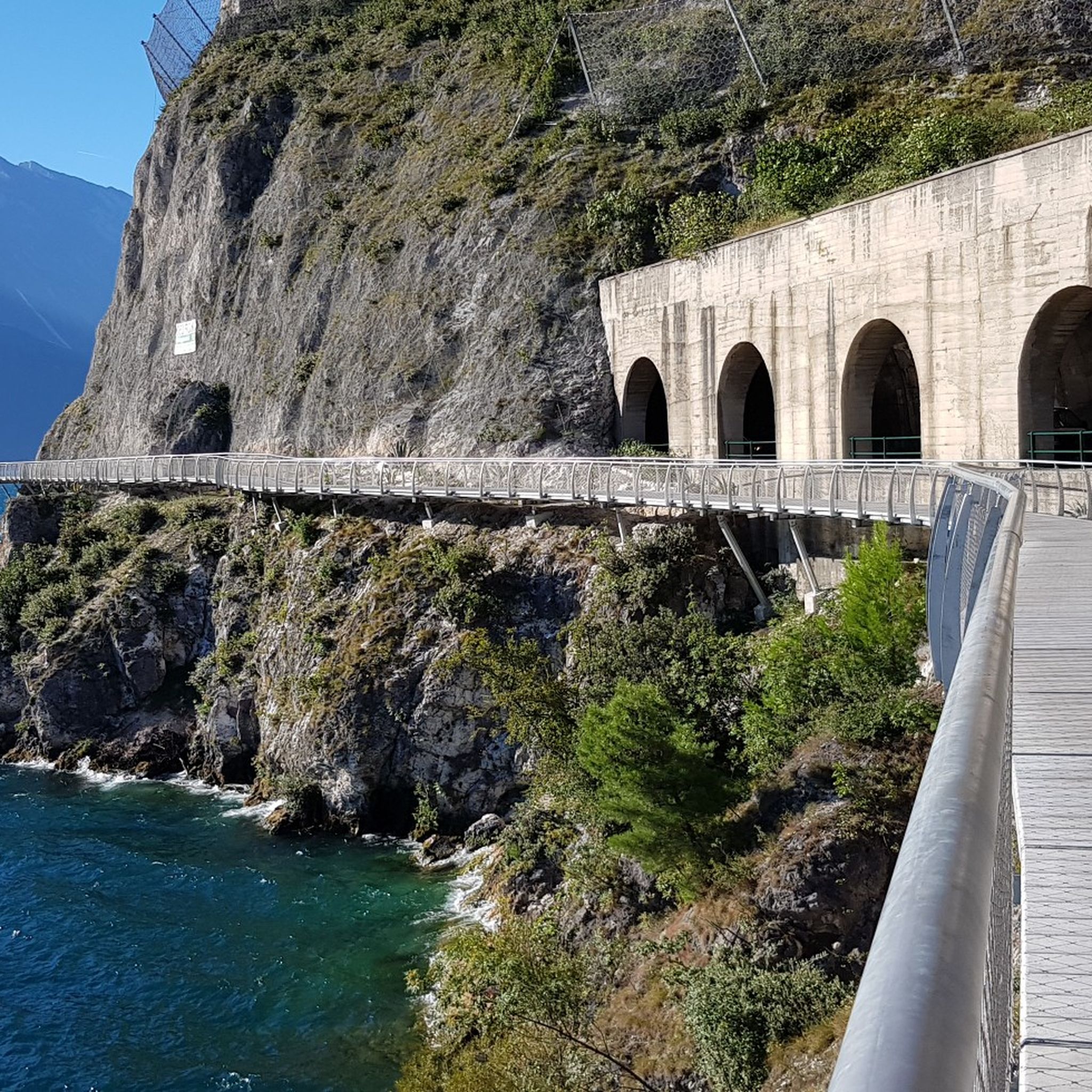
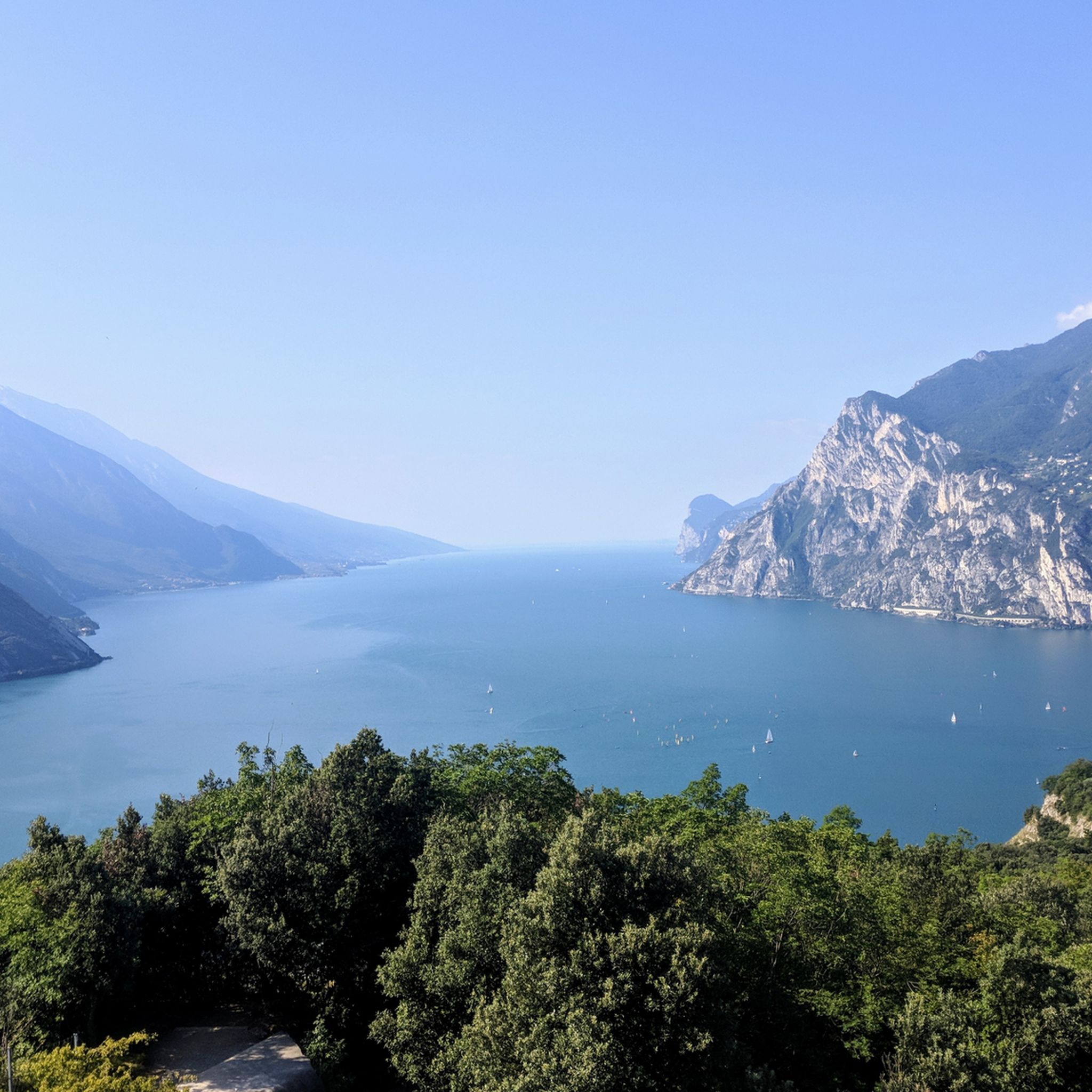
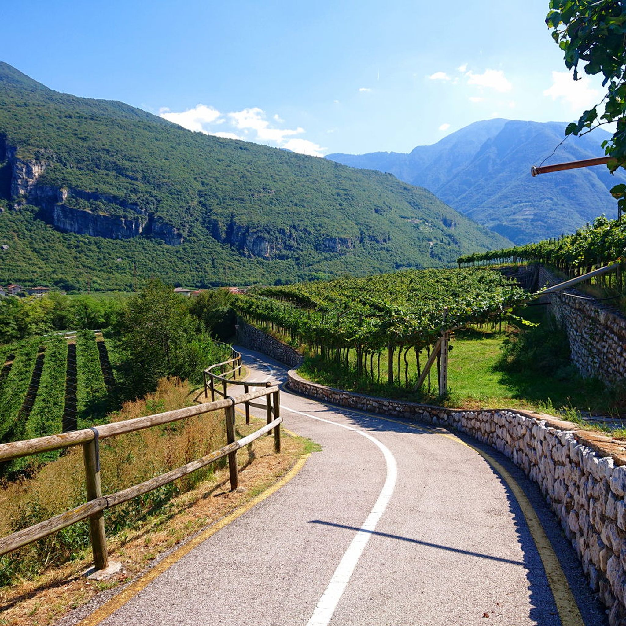
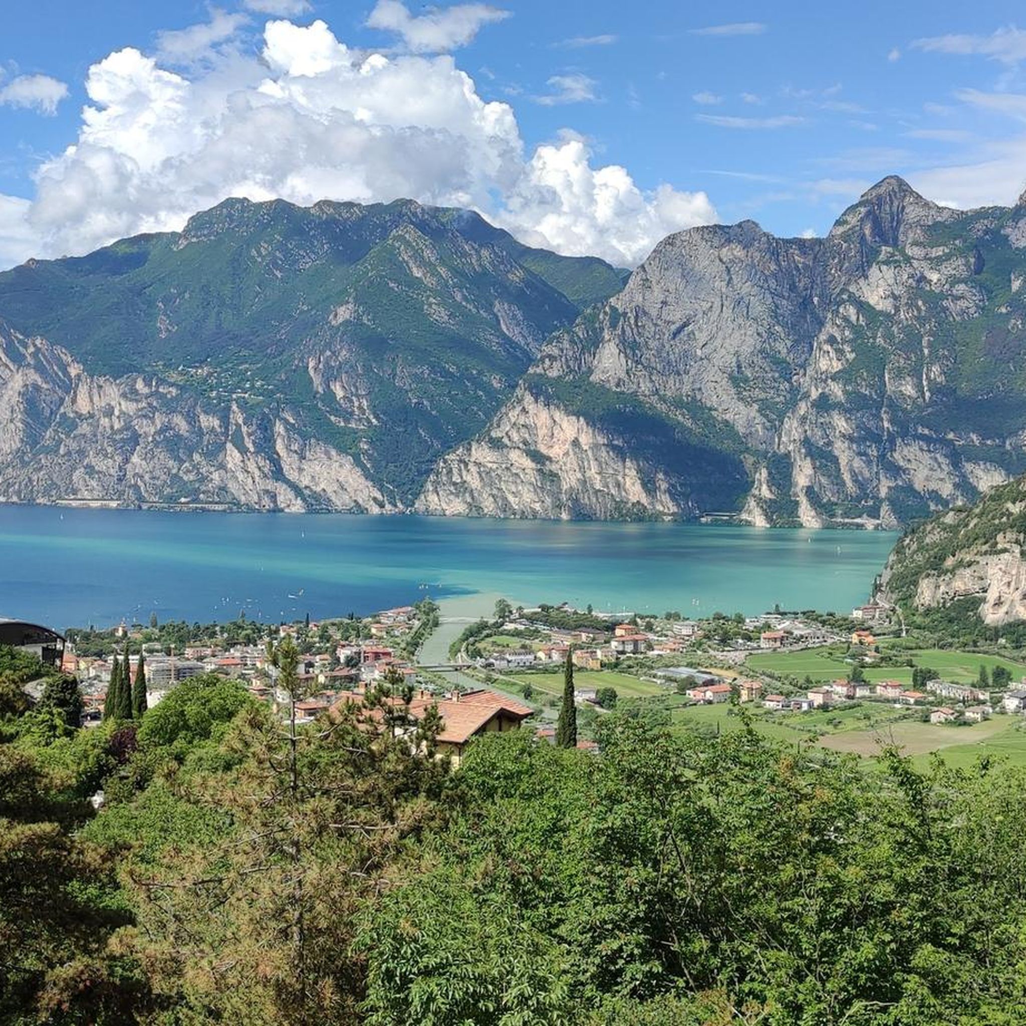
Prepare for a difficult touring bicycle ride on the Tour of Alto Garda for the Limarò Canyon and the Sarca Valley, covering 39.5 miles (63.6 km) with a significant climb of 3021 feet (921 metres). This ring tour typically takes about 4 hours and 15 minutes to complete. You will experience diverse terrain, from the unique green-turquoise waters of Lago di Tenno to panoramic mountain views and lush forests. The route includes a demanding uphill section to Lago di Tenno and over the Ballino Pass, followed by descents that may include gravel paths.

While the route often starts from Riva del Garda, it is a ring tour, so you can begin at various points. Much of the tour utilizes dedicated cycle paths, especially through the impressive Limarò Gorge and along the Sarca Valley. Be aware that some segments, particularly on the descent from Passo Ballino, might be unpaved or gravel, even though many surfaces are paved. The Sarca Valley cycle path is generally flat and easy, offering a more relaxed segment of the journey.

This tour is notable for its striking contrast between the Mediterranean-like shores of Lake Garda and more alpine environments. The Limarò Gorge is a standout feature, with a cycle path offering spectacular views of the canyon carved by the Sarca River, often described as one of Italy's most beautiful. The Sarca Valley itself is characterized by orchards, vineyards, and picturesque towns like Arco, providing a beautiful path along the river. This challenging yet rewarding route offers diverse topography and dramatic views.

デバイスでナビ

スマートフォンに送信

保存

難しい

中程度の自転車ライド. ある程度のフィットネスレベルが必要です。 全般的に舗装された状態です。あらゆるスキルレベルに適しています。

中程度
guide_signup
私たちがkomootモバイルアプリで道を示します
無料の komoot アカウントがあれば、無限のアウトドアコースを簡単に見つけてカスタマイズし、ナビで案内できます。

無料新規登録

4.7

(246)

1,093

ライダー

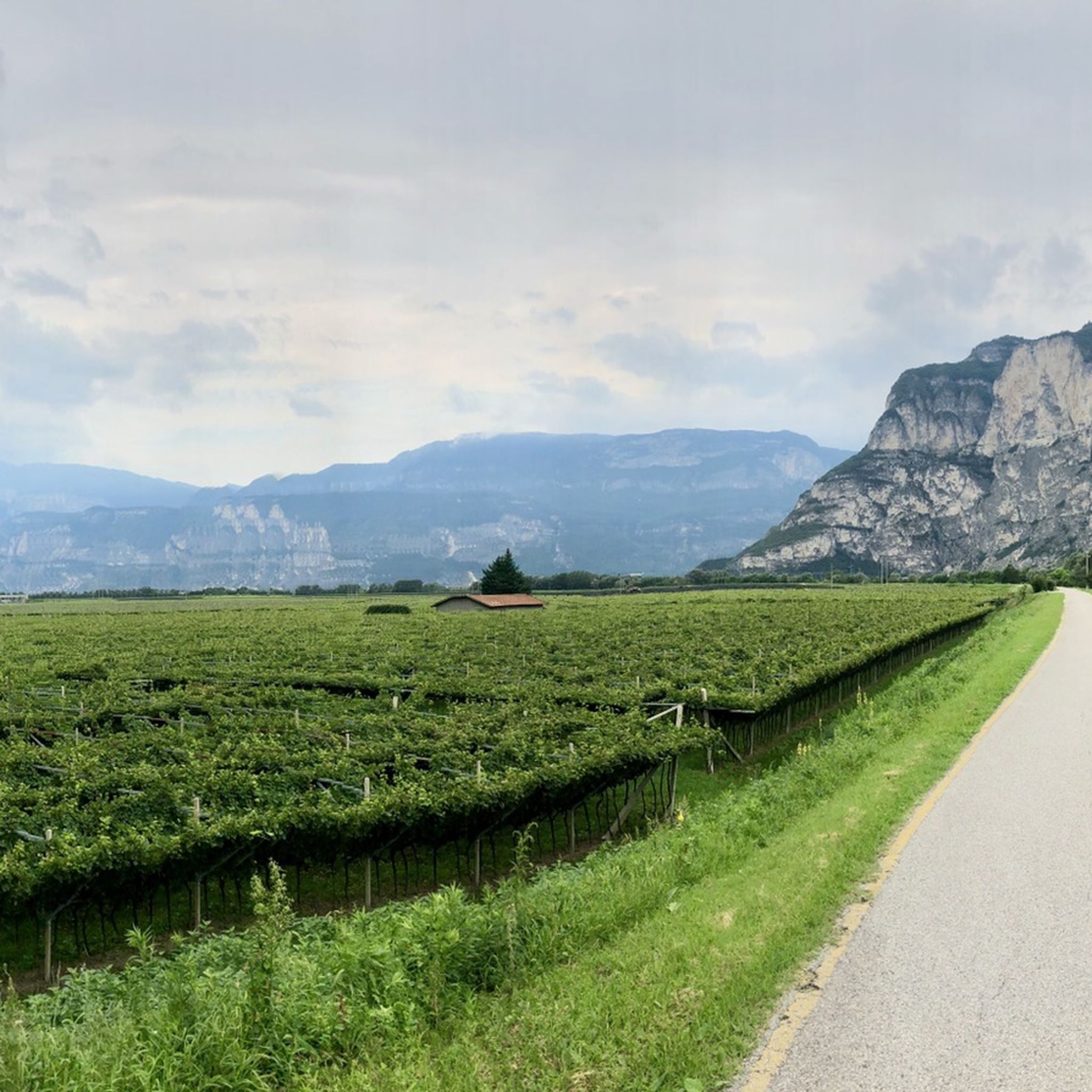
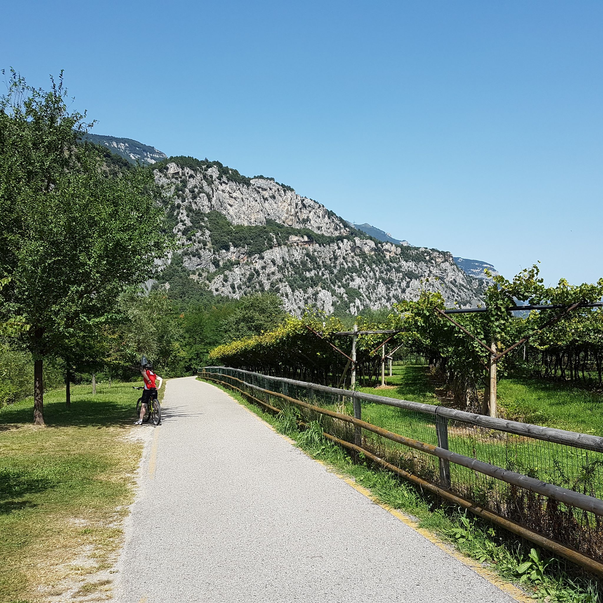
Embark on the Garda Sarca Loop, a moderate touring cycling route that guides you through the picturesque landscapes of Garda Trentino. This 16.7-mile (26.9 km) journey features a gentle elevation gain of 573 feet (175 metres), offering a pleasant ride without strenuous climbs. As you pedal, you will pass through expansive apple orchards, vineyards, and olive groves, with the Sarca River often flowing alongside you. Keep an eye out for the historic Roman Bridge over the Sarca River, a notable landmark on your ride, as you complete the loop in about 1 hour and 36 minutes.

Planning your visit is straightforward, as this touring cycling route primarily uses paved cycle paths and quiet side roads, making it suitable for various bicycle types. While the terrain is mostly flat, you might encounter some gentle rises along the way. The mild climate of Garda Trentino means you can enjoy this route year-round, offering flexibility for your trip. Consider starting your ride in the morning to experience the tranquility of the region before it gets too busy.

The Garda Sarca Loop provides a unique glimpse into the local culture and natural beauty of the area. You will have the chance to explore the charming Arco Old Town, which offers a delightful stop for a break or some sightseeing. The route also presents views of the impressive Marocche, a distinctive post-glacial landscape that adds a geological marvel to your cycling experience. This trail stands out for its blend of agricultural scenery, historical sites, and natural wonders.

中程度

4.6

(304)

1,769

ライダー

難しい自転車ライド. 標準以上のフィットネスレベルが必要です。 全般的に舗装された状態です。あらゆるスキルレベルに適しています。

難しい

4.4

(110)

1,257

ライダー

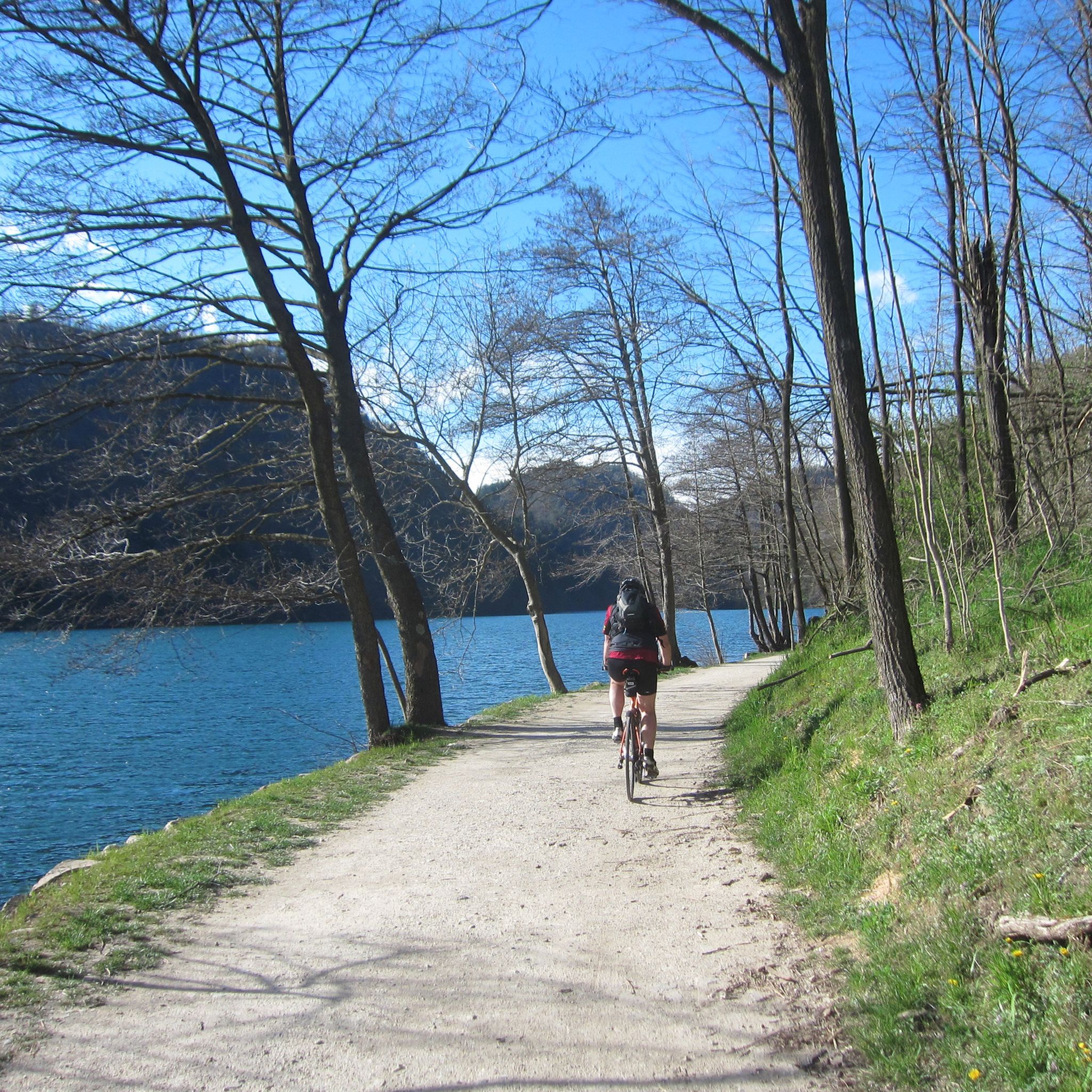
The "Trento and the Adige Valley" route offers a moderate touring bicycle experience, covering 27.5 miles (44.3 km) with 1190 feet (363 metres) of elevation gain, typically taking 2 hours and 43 minutes. You'll cycle along the Adige River on predominantly flat, well-paved paths, enjoying views of extensive vineyards and apple orchards. Mountains provide a scenic backdrop as you pass through picturesque villages and historic towns like Trento. The smooth asphalt surface ensures an enjoyable ride, largely protected from traffic. You can expect a pleasant journey through diverse landscapes.

The Adige Valley Cycle Path is well-signed, making navigation straightforward. You'll find "Bicigrill" refreshment points conveniently located along the way, offering food, drinks, information, and even minor bike maintenance. For added flexibility, you can transport your bicycle on regional trains, which is useful for longer tours or returning to your starting point. This makes planning your touring bicycle trip quite convenient.

This trail is the longest cycle path within Trentino, connecting Bolzano to Verona, and is an integral part of the EuroVelo 7, also known as the "Sun Route." It also traces parts of the historic Via Claudia Augusta, an ancient Roman road. Beyond the natural beauty, the route provides access to cultural attractions like MUSE in Trento and impressive castles such as Castel Beseno.

中程度

難しい自転車ライド. 標準以上のフィットネスレベルが必要です。 全般的に舗装された状態です。あらゆるスキルレベルに適しています。

難しい

This difficult 58.7-mile touring bicycle route through Valle del Sarca and Vallagarina offers diverse scenery and a significant challenge.

難しい

This difficult 26.7-mile touring cycling loop combines the scenic Valsugana Cycle Path with challenging climbs to Arte Sella's open-air art

難しい

中程度の自転車ライド. ある程度のフィットネスレベルが必要です。 全般的に舗装された状態です。あらゆるスキルレベルに適しています。

中程度

難しい自転車ライド. 標準以上のフィットネスレベルが必要です。 全般的に舗装された状態です。あらゆるスキルレベルに適しています。

難しい
無料新規登録すると、トレントでのでのライドをさらに2,528件ご覧いただけます。

さらに多くのルートや他のユーザーのおすすめ情報を確認できます。

無料新規登録

すでにアカウントをお持ちですか?

おすすめのツアーは他のkomootユーザーが実際に経験した何千ものアクティビティに基づいています。
無料アカウントで今日から始めよう

次の冒険が待っています。

ログインまたは登録

トレント周辺で人気

アディジェでのサイクリング

リーヴァデルガルダでのサイクリング

モンテブリオーネでのサイクリング

トレントでのサイクリング

レードロでのサイクリング

イゼーラでのサイクリング

ロヴェレートでのサイクリング

ナーゴ・トルボレでのサイクリング

レーヴィコ・テルメでのサイクリング

アルコでのサイクリング

トレントでのの他の冒険

アルプスを横断するグラベル — Graun から Riva del Garda まで

サイクリングのコレクション によって

Monika Sattler

コミュニティからのヒント

JonasvdSteen
8月 2, 2026, La Forra di Ponale (Ponale Road)

ロードバイクでも可能ですが、グラベルバイクまたはマウンテンバイクの方が楽です。

Google翻訳による翻訳

0

0

徒歩でも自転車でも絶対にやるべきです。

Google翻訳による翻訳

0

0

Bella Ponale、トンネルまで一定の登りで、きつくないです。

Google翻訳による翻訳

0

0

素晴らしい自転車道ロヴェレート・リーヴァ・デル・ガルダにて

Google翻訳による翻訳

0

0

完成し、サイクリストが交通量の多い国道トンネルを通過する義務がなくなれば、間違いなく壮観になるでしょう!

Google翻訳による翻訳

0

0

建物は2つの部分からなり、手前の部分が古い建造物です。現在の市庁舎は、東側と西側のポータルの年号が示すように1697年に遡り、当初は地下にヴォールト天井の階があり、そこに税関が入居し、1階には質屋の部屋が2つ、市議会会議室、小さなアーカイブがありました。1713年、建物は壊滅的な火災の犠牲となりました。18世紀後半(東側の壁の窓には1786年の年号が見える)に、建物の後ろの部分が増築されました。19世紀後半の増築により、市庁舎はその現在の姿になりました。出典:案内板

Google翻訳による翻訳

5

0

いくつかのジグザグを登りますが、すべて可能で 👍🏼、湖の素晴らしい景色が何度も見られます 🤩

Google翻訳による翻訳

4

0

It's right next to the bike path, and it's a very beautiful church! A little further on, there's also a drinking fountain!

Google翻訳による翻訳

0

0

トレントでのの人気ルート

トレントのMTBトレイル

トレントでのの人気観光スポット

Natural Monuments

Store rating

komootモバイルアプリでインスピレーションを得よう

無料のkomootアカウントがあれば、無限のアウトドアコースを簡単に見つけてカスタマイズし、ナビで案内できます。

または

今すぐkomootに参加しよう

Store rating

探していたものは見つかりませんでしたか?

トレントの下にある他のサイクリングルートをチェックして、目的地で完璧なルートを見つけましょう。

ボルゴ・バルスガナストリーニョカステルTelveボルゴ・キエーゼヴェルミーリオカラーノカステッロ・モリーナ・ディ・フィエンメカプリアーナペイイオプリミエーロサンマルティーノディカストロッツァメッツァーナポッツァディファッサモエナボルゴラレスペルジーネ・ヴァルスガナテルヴェ・ディ・ソプラカデルツォーネテルメスポルマッジョーレアンブラールドントルチェーニョサンロレンツォドルシーノステーニコカリゾーロコンメッツァドゥーラトブリーノ湖ロヴェレ・デッラルナファイデッラパガネッラシンテテシーノイメルFinonchioカナールサンボボパンキアロンゾンStoroグリーニョCastelnuovoダンベルブレントーニコカステルコンディーノカナツェイガルニーガテルメGruppo Del PasubioGruppo Della Vigolanaラビピアンパルー湖Rete Di Riserve Alpi Ledrensiフォルガリーアヴァルフロリアーナカヴィッツァーナパネヴェッジョ湖アルデーノナーゴ・トルボレOasi Valtrigonaロヴェレートピンゾロクレスルッフレメンドラヴァルダオーネファエードアルコアルビアーノフェダイア湖ベゼネッロブレッジョ・スペリオーレドロヴィニョーラファレシーナロンチェーニョテルメポルテディレンデナナーヴェサンロッコザンバーナカヴェダーゴペッリッツァーノプレダイアカヴァレーノサルノーニコサントルソラテルメスピアッツォプレダッツォサンミケーレオールアディジェルゼルナジアーノ・ディ・フィエンメヴィーゴ・ディ・ファッサマッツィーンコマーノテルメパルコナチュラーレパネヴェッジョ-パレディサンマルティーノダイアーノRiserva Regionale ScanuppiaメッツォコローナヴァッレラーギトレントAltavalleブレズチェンブラリジニャゴカバレゼスクレッレブレージモマッシメーノカンポデンノレイス湖カヴェーディネソヴェールヴァレナセラ・ジュディカリーディマロ・フォルガリダモンテブリオーネBiotopo Delle MaroccheアンダロトンルモカッリアーノメッツァーノロマッロカンピテッロディファッサカルドナッツォRiserva Naturale Guidata Di Campobrunスペッケリ湖マドルッツォドレーナラヴァローネデルカレサー湖天皇カーニョジュスティーノヴァラルサヴィッレ・ダナウニアトベル湖ボチェナーゴサンコロンバノ湖フォンドレーヴィコ・テルメピアッツェ湖Fornaceカルツァーノオッサーナヴィララガリーナロンツォ・キエニスメッゾロンバルドカステッロテシーノポマローロテルツォラースラビスオスペダレットサンゼーノトレ・ヴィッレチヴェッツァーノロメノテナカヴェーディネ湖Riserva Naturale Integrale Tre Cime Del Bondoneサンタジュスティーナ湖ノヴァレードマロスコフィアヴェレヴィコ湖ビエノスフルツテゼロレドロ湖アヴィオTerLake湖ジョーヴォモルヴェーノトランビレーノヴォラーノテラニョーロペルーゴカステルフォンドボンドーネロナ・ラゼスピエーヴェ・ディ・ボノ-プレッツォカルデスノガレードイゼーラピエーヴェ・テシーノストレンボサモーネアルトピアーノデラヴィゴラナレードロサグロンミスティオネ・ディ・トレントフラッシロンゴアラバゼルガ・ディ・ピネテンノ湖リーヴァデルガルダロンキ・ヴァルスガナクロヴィアーナカルドナッツォ湖ベドッロパルーデルフェルシーナソラーガリボフィエロッツォでんのヴァッレディテッラニョーロ続きスポルミノーレシスクロズセゴンツァーノ能美シモーネデッラセライア湖カルチェラーニカアルラーゴモルヴェーノ湖RevòアディジェParco naturale provinciale dell'Adamello Brenta

さらに探索

他の地域の最高のサイクリングルートを見てみましょう。

アルプス南チロルベネトロンバルディアフリウリベネチアジュリアアペニン山脈トスカーナエミリア・ロマーニャピエモンテリグーリアラツィオサルデーニャウンブリアリボルノカンパニアプーリアアオスタバレーアブルッツォマルシェシチリアカラブリアバジリカータモリーゼリミニアルチペラゴトスカーノ国立公園カリアリカポリーヴェリFondali Loano - Albengaカンポ・ネッレルバポルトフェッライオエリアマリーナプロテッタレグノディネットゥーノポルトコンテ自然公園Fondali Capo Mele - AlassioエリアナチュラーレマリーナプロテッタデッレチンクエテッレPosthudorra / Porto TorresSic Costa Ionica Foce Cavoneエリアマリーナプロテッタセケデッラメロリア五郎ファヴィニャーナZona Di Protezione Speciale Capo CarbonaraSic Costa Ionica Foce AgriパルコナツィオナーレデルアシナラパルコリージョナルデイカンピフレグレイリーパリRiserva Naturale Orientata Isola BellaParco Archeologico Sommerso Di Baiaサンタンドレーア島とプンタピッツォ自然公園エオリア諸島Riserva Isole dello Stagnone di MarsalaAmp "Capo Gallo - Isola Delle Femmine" Zona Cエリアナチュラーレマリーナプロテッタカーポガロ-イーゾラデッレフェミンコスタオトラント-サンタマリアディロイカエボスコディトリカーゼ自然公園エリアMarinaProtetta Isole CiclopiエリアMarinaProtetta di Torre Guaceto-Zona C(riserva parziale)Sic Costa Ionica Foce BradanoSic Costa Ionica Foce Basentoランペドゥーサ島EリノサエリアマリーナプロテッタIsolePelagie

探索できるほかのスポット

トレントの自然保護区

近くのアドベンチャーガイド

ラビスでやるべきこと

background

新しいピークを征服する準備をしよう

無料でサインアップ

探検する
ルートルートプランナー機能バウチャーを利用ハイキングMTBトレイルロードバイクルートバイクパッキングサイトマップ
アプリをダウンロード
SNSでフォローする

© komoot GmbH

プライバシーポリシー