パイクームのおすすめウォーキング&ハイキングルート
4.3
(390)
7,959
ハイカー
45
ハイキング
パイクーム 周辺でおすすめのハイキングやウォーキングを楽しんでいただけるように、このエリアの小径やルートを集めたkomootコレクション全体を見直しました。 以下で各ルートの詳細をご覧になり、パイクーム周辺の大自然を満喫する際の参考にしてください。
最終更新日: 8月 27, 2026
4.8
(109)
410
ハイカー
9.06km
02:31
160m
160m
This moderate 5.6-mile (9.1 km) hike, taking about 2 hours and 30 minutes, offers a rewarding experience through the South Downs National Park. You will gain 536 feet (163 metres)…
4.9
(54)
305
ハイカー
23.5km
06:27
380m
380m
難しいハイキング. 標準以上のフィットネスレベルが必要です。 進みやすいルートです。あらゆるスキルレベルに適しています。

無料新規登録
4.7
(19)
281
ハイカー
6.47km
01:47
110m
110m
初級者向けハイキング. あらゆるフィットネスレベルに適しています。 進みやすいルートです。あらゆるスキルレベルに適しています。
4.1
(9)
49
ハイカー
9.32km
02:50
320m
320m
中程度のハイキング. ある程度のフィットネスレベルが必要です。 進みやすいルートです。あらゆるスキルレベルに適しています。
3.0
(1)
76
ハイカー
5.45km
01:32
110m
110m
初級者向けハイキング. あらゆるフィットネスレベルに適しています。 進みやすいルートです。あらゆるスキルレベルに適しています。
さらに多くのルートや他のユーザーのおすすめ情報を確認できます。
無料新規登録
すでにアカウントをお持ちですか?
おすすめのツアーは他のkomootユーザーが実際に経験した何千ものアクティビティに基づいています。
無料アカウントで今日から始めよう
次の冒険が待っています。
ログインまたは登録


コミュニティからのヒント


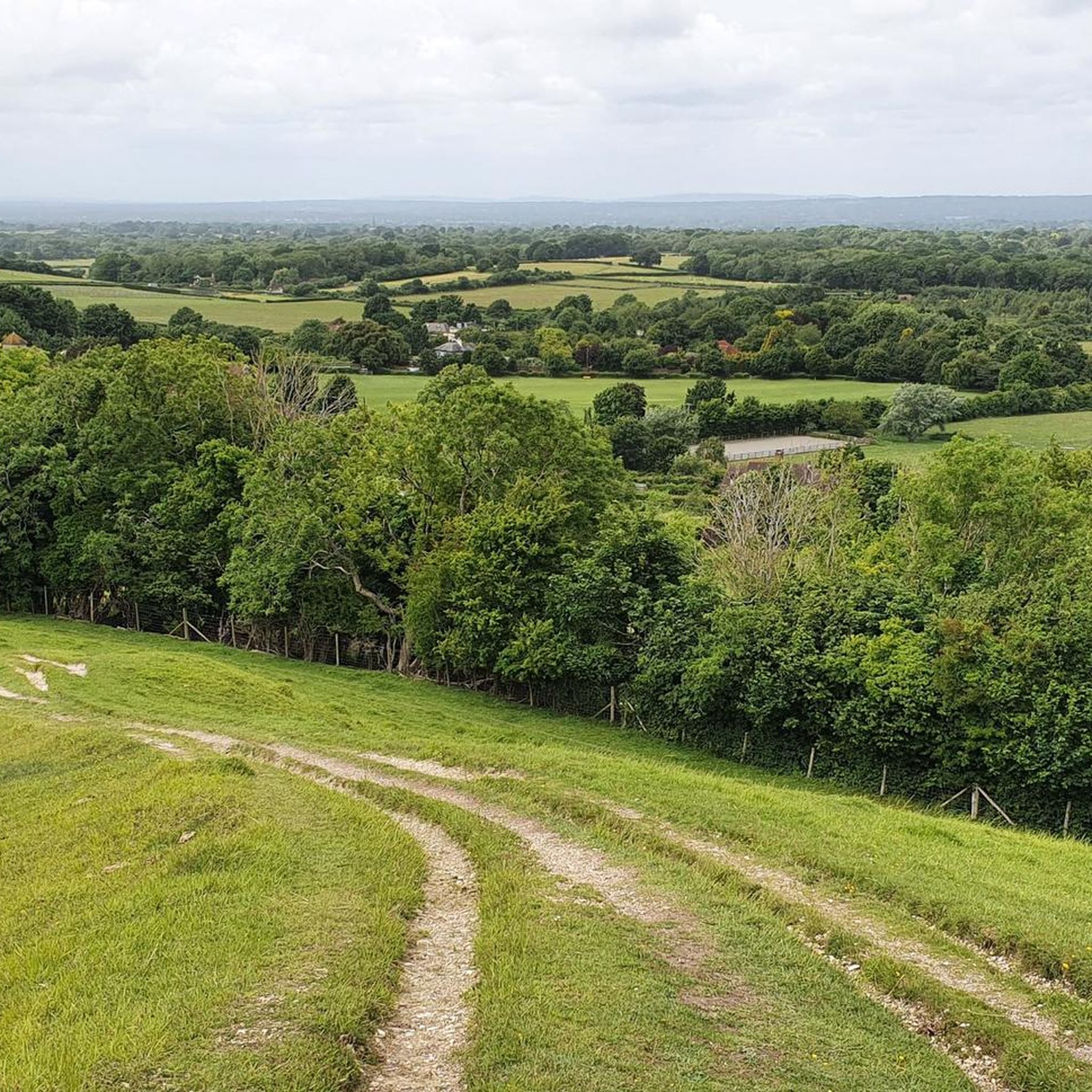
If you decide to go here go through the field, to the right initially where the fence is trampled down anyway until the crossroads, where you take the left field and walk around it, the owner doesn’t seem to mind as I chatted with him about the track and says he doesn’t blame people and doesn’t mind it. The track was horrifically muddy with clay a meter deep (no exaggeration) u suspect from horse riders destabilising the soil. In other words take the South Downs way if you plan on taking the route through Pyecombe, don’t be like me
0
0
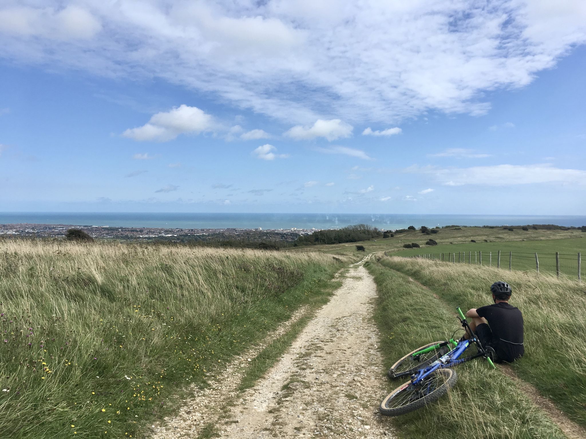
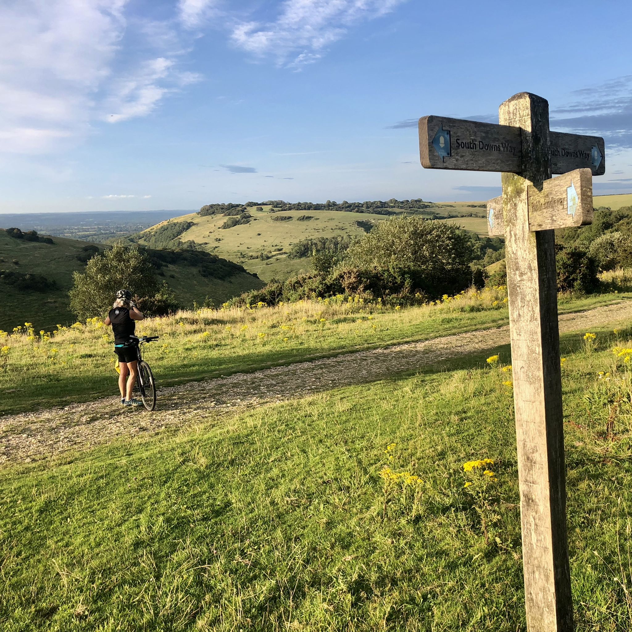
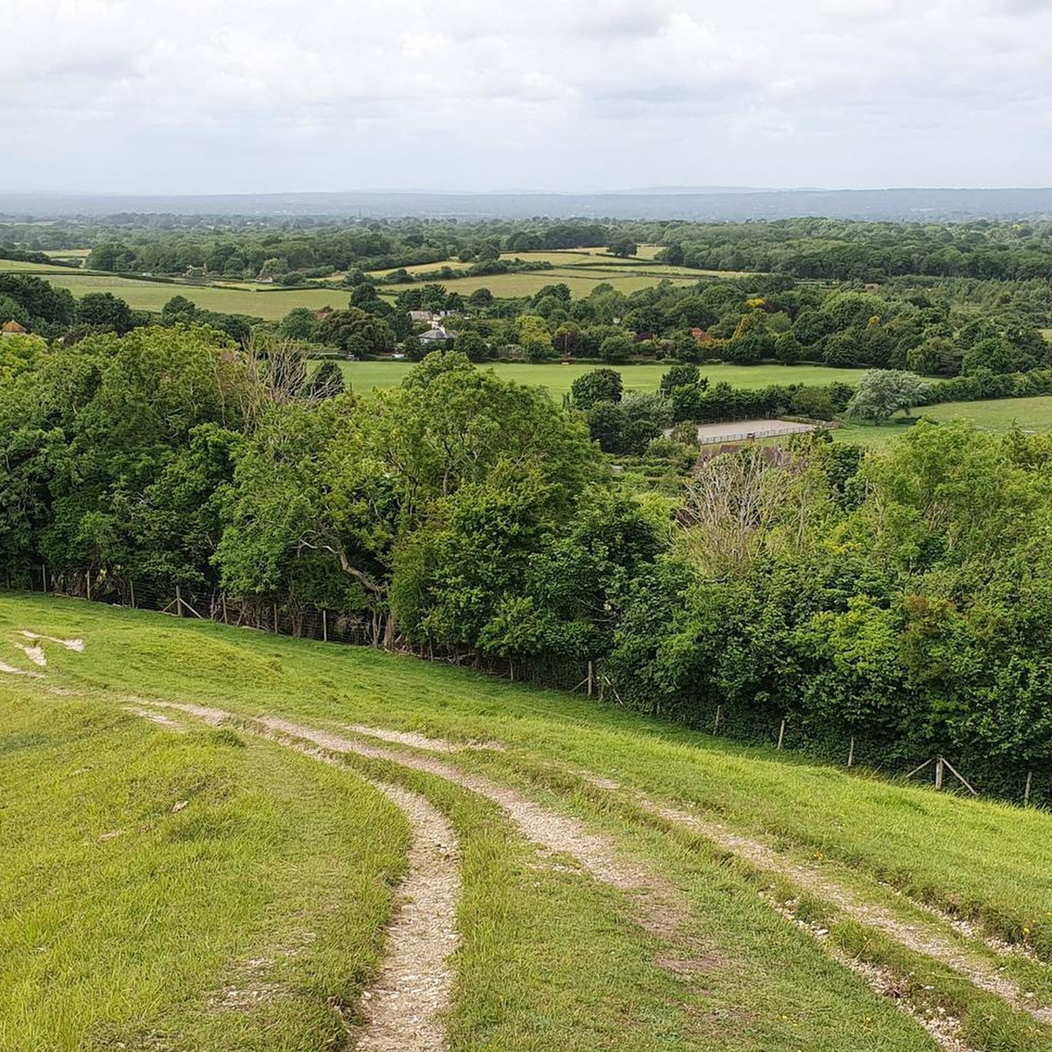
Ditchling Beacon Nature Reserve is owned by the National Trust but managed by the Wildlife Trust. It's an important area of chalk downland with rare species of plant and insect. The views from this ridge, below Ditchling Beacon are far-reaching, across the Weald. The South Downs Way long distance footpath walks across the hill above this point.
0
0


At over 650 feet (200 m), Ditchling Beacon gives you a good climb and a great vantage point to see out over the surrounding countryside. To the north you look back at the lush countryside of the Weald, to the south are views of Brighton, and to the east and west, the rolling undulating views out over the South Downs.
1
1

Delicious coffee from a small converted horse trailer. It won't always be there. But if it is, it's a recommendation.
0
0


These old windmills are the best proof that people were clever enough a number of centuries ago - long before the discovery of electricity and the inventions that resulted from it - to harness the power of the elements for their own purposes: no human or animal muscle power is needed for the grinding process, but the wind captured by the wings is enough to drive the heavy millstones and thus, for example, to grind flour from grain (grain mills) or to press oil from olives (oil mills). Often they are only technical and historical evidence of a long tradition of craftsmanship, because most of the old mills have been abandoned over time.
2
0
パイクームでのの人気観光スポット

komootモバイルアプリでインスピレーションを得よう


さらに探索
他の地域の最高のハイキングを見てみましょう。
