バルカムのおすすめウォーキング&ハイキングルート
4.5
(2091)
11,979
ハイカー
42
ハイキング
バルカム 周辺でおすすめのハイキングやウォーキングを楽しんでいただけるように、このエリアの小径やルートを集めたkomootコレクション全体を見直しました。 以下で各ルートの詳細をご覧になり、バルカム周辺の大自然を満喫する際の参考にしてください。
最終更新日: 8月 30, 2026
4.8
(345)
1,233
ハイカー
Embark on a moderate 7.3-mile (11.7 km) hike that takes you through varied landscapes, offering a rewarding outdoor experience. You'll gain 430 feet (131 metres) in elevation, with the route…
4.3
(4)
12
ハイカー
10.6km
02:55
170m
170m
This moderate 6.6-mile hike from Balcombe explores the High Weald, featuring ancient woodlands, riverside paths, and the iconic Ouse Valley

無料新規登録
4.3
(163)
632
ハイカー
14.1km
03:43
130m
130m
中程度のハイキング. ある程度のフィットネスレベルが必要です。 進みやすいルートです。あらゆるスキルレベルに適しています。
4.3
(14)
50
ハイカー
17.7km
04:51
270m
270m
中程度のハイキング. ある程度のフィットネスレベルが必要です。 進みやすいルートです。あらゆるスキルレベルに適しています。
3.2
(11)
45
ハイカー
8.27km
02:12
80m
80m
中程度のハイキング. ある程度のフィットネスレベルが必要です。 進みやすいルートです。あらゆるスキルレベルに適しています。
さらに多くのルートや他のユーザーのおすすめ情報を確認できます。
無料新規登録
すでにアカウントをお持ちですか?
おすすめのツアーは他のkomootユーザーが実際に経験した何千ものアクティビティに基づいています。
無料アカウントで今日から始めよう
次の冒険が待っています。
ログインまたは登録


コミュニティからのヒント

急な丘の頂上からは美しい景色が望めます
0
0

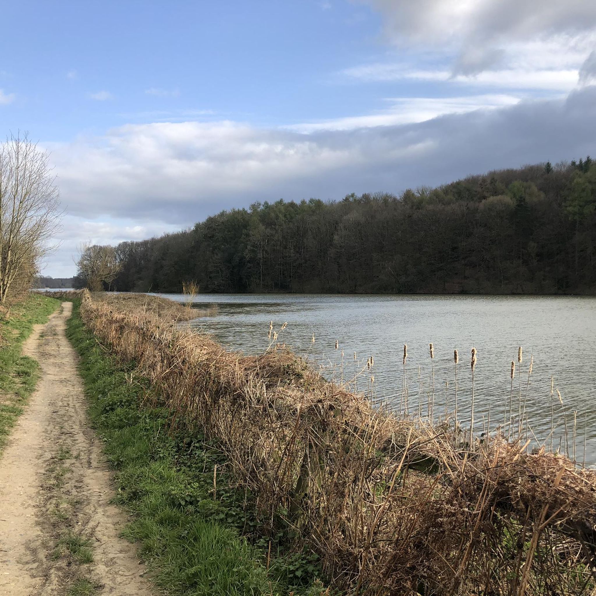
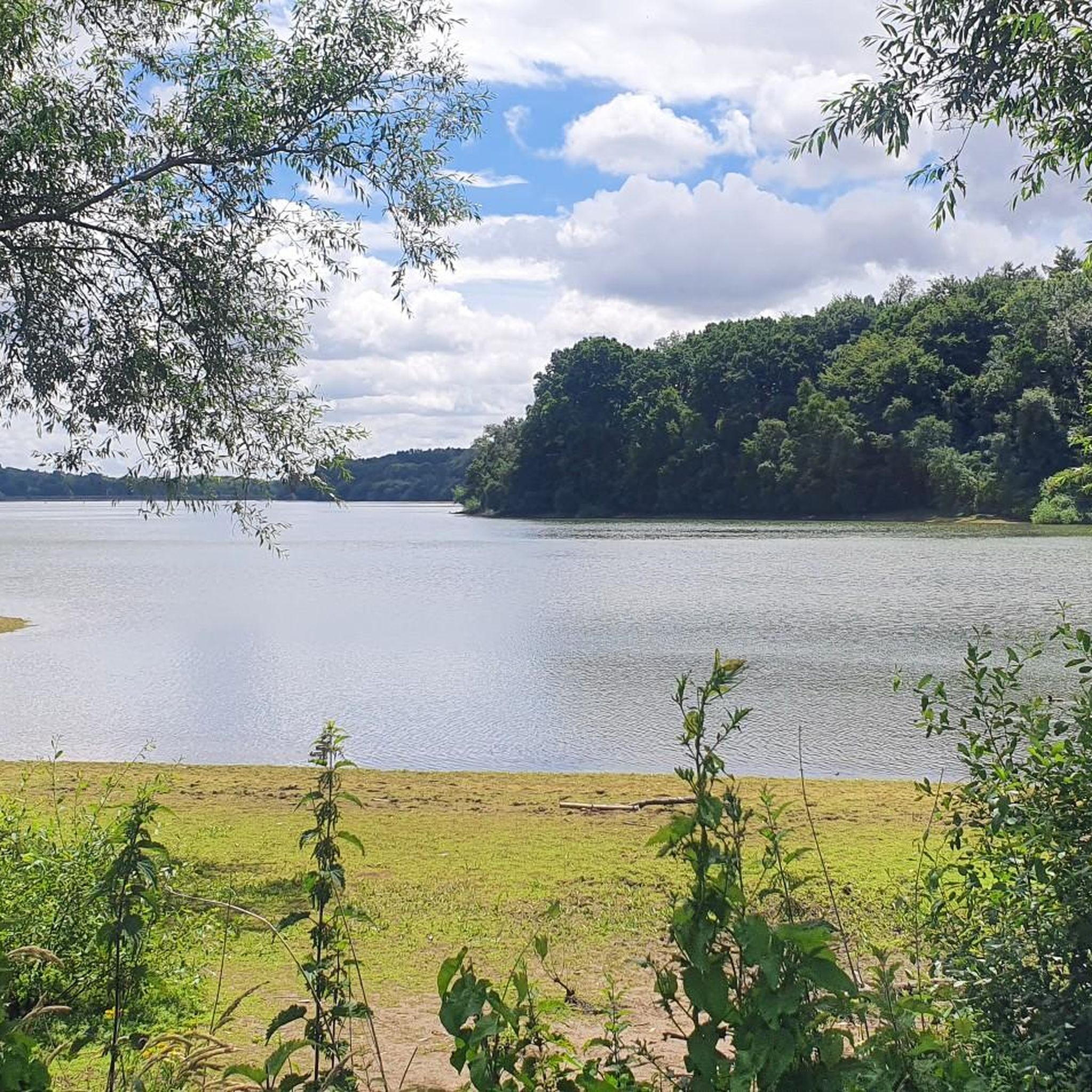
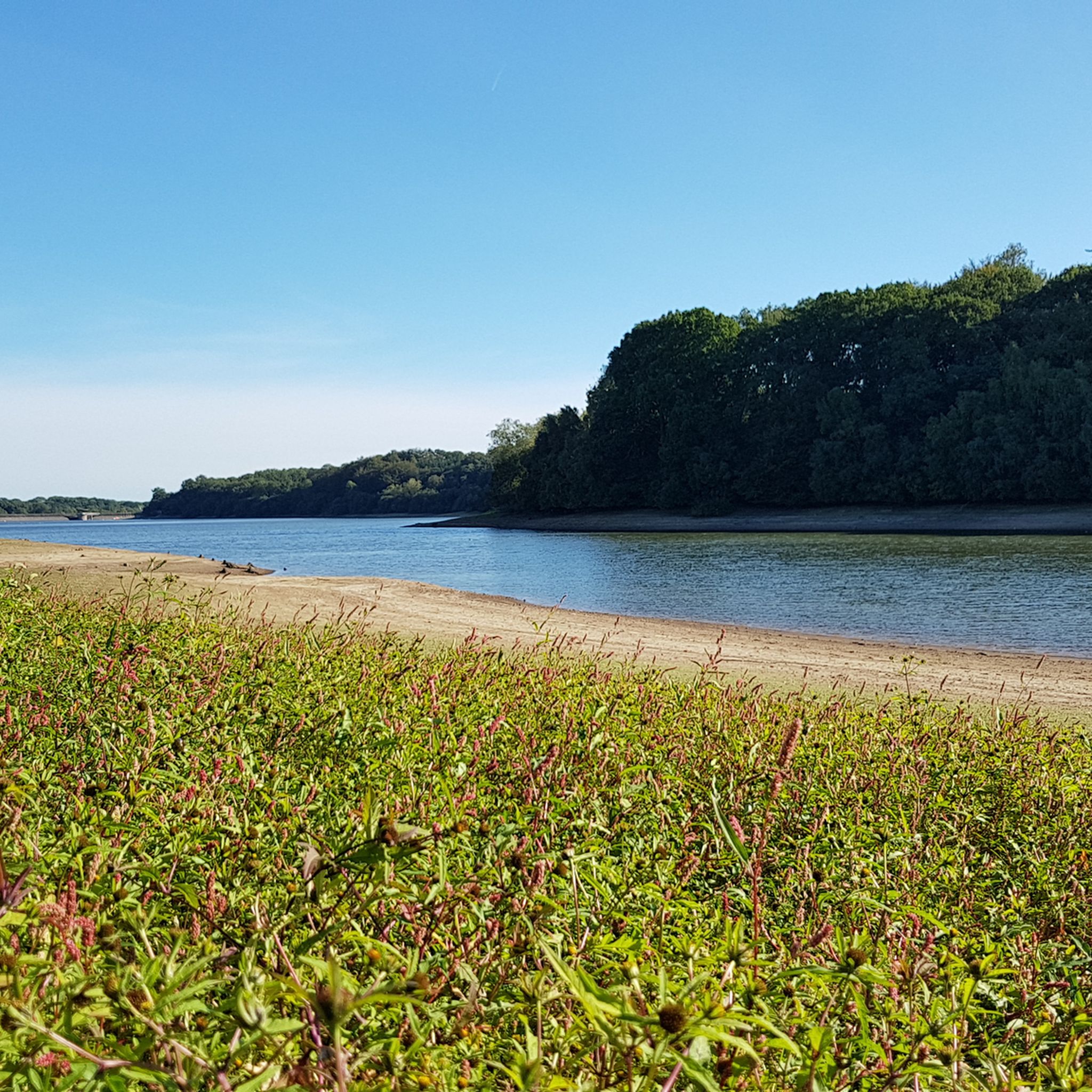
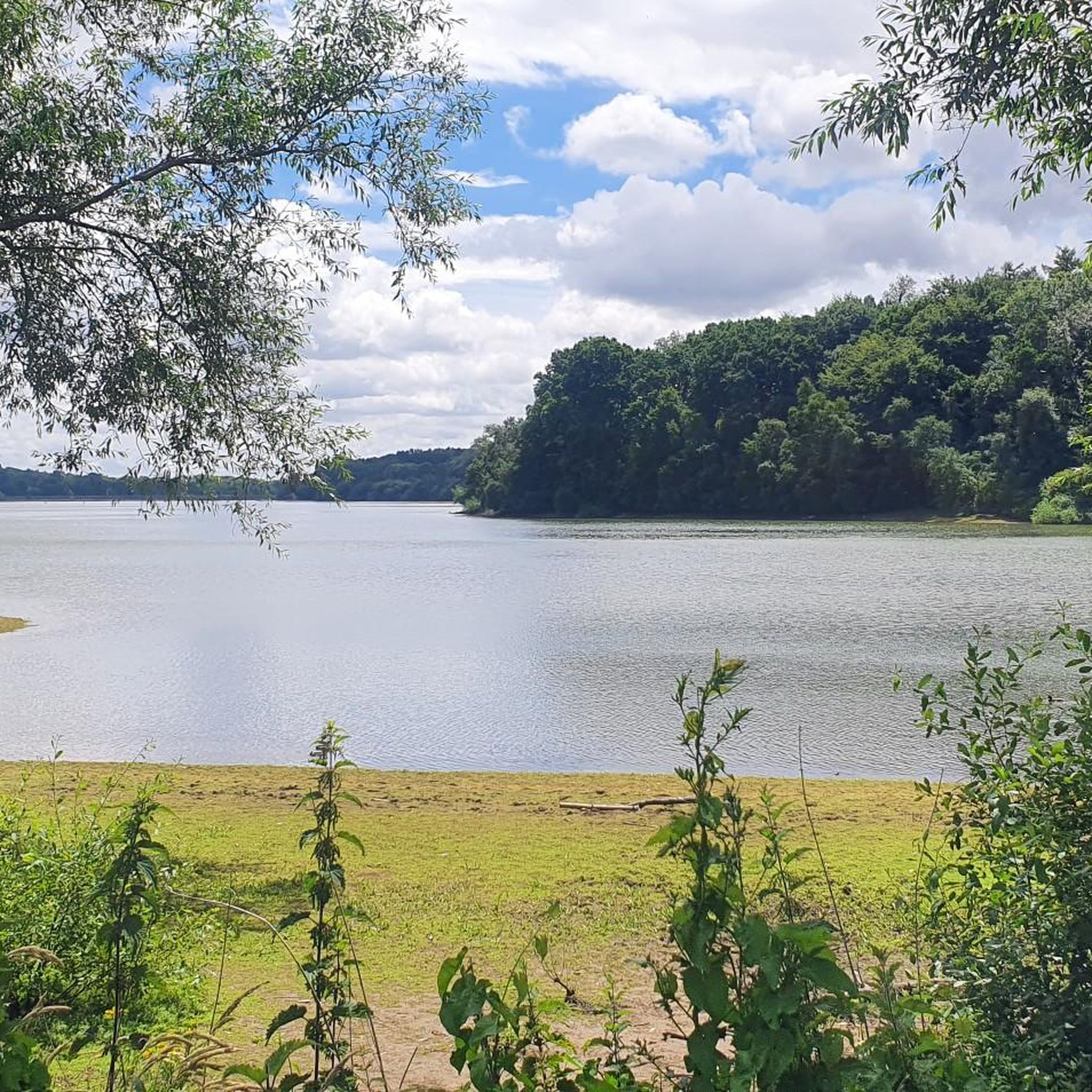
There is a local car park at the Activity Centre leading straight onto the walk around the reservoir. Currently the foot path is very wet and muddy in places but would be a nice walk spring/summer/ autumn. There are a few benches around the reservoir for stopping and taking in the view.
0
0
The perimeter path around the reservoir is very muddy in places currently due to the amount of rain. Welly boots needed in some places.
0
0

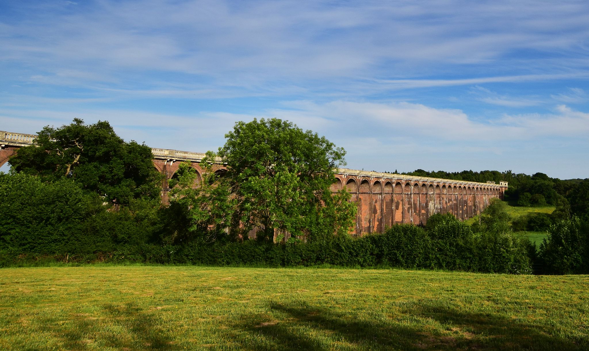
The Sussex Ouse Valley Way is a 42-mile (68 km) long-distance footpath that basically follows the course of the River Ouse from its source to the sea. It starts from Lower Beeding near Horsham to the coast at Seaford. It is generally regarded as an easy footpath, as most of the route is flat riverside walking. It is a very scenic journey as it goes through beautiful quintessential English countryside for most of its journey. Here by Upper-Ryelands Bridge on Border Hill Lane, you come across the fantastic structure of the Ouse Valley Viaduct that stretches out across you in all its magnificent structural glory, simply a stunning view.
2
0
This is the location of the only (single) public toilet on this route, and there’s also a kiosk for hot and cold drinks and ice creams. Long queues for both.
0
0


very muddy if there's been rain recently, had to keep pushing my bike as it got stuck
0
0

If you fancy a break before the short flight of stairs, this bench, placed here by The Balcombe Footpaths & Countryside Association in 1993, is the perfect spot!
0
0
バルカムでのの人気観光スポット

komootモバイルアプリでインスピレーションを得よう


さらに探索
他の地域の最高のハイキングを見てみましょう。
