ポイニングスのおすすめウォーキング&ハイキングルート
4.5
(1781)
18,628
ハイカー
49
ハイキング
ポイニングス 周辺でおすすめのハイキングやウォーキングを楽しんでいただけるように、このエリアの小径やルートを集めたkomootコレクション全体を見直しました。 以下で各ルートの詳細をご覧になり、ポイニングス周辺の大自然を満喫する際の参考にしてください。
最終更新日: 9月 13, 2026
4.4
(32)
121
ハイカー
4.04km
01:14
140m
140m
Embark on the Devil's Dyke loop, an easy hike spanning 2.5 miles (4.0 km) with a gentle elevation gain of 468 feet (143 metres). You can comfortably complete this route…
4.3
(32)
102
ハイカー
10.4km
02:57
210m
210m
Hike the moderate 6.4-mile Devil's Dyke, Edburton & Poynings loop for panoramic views across the South Downs National Park.

4.7
(13)
65
ハイカー
13.0km
03:40
270m
270m
Embark on the Fulking loop from Devil's Dyke, a moderate hiking adventure that covers 8.0 miles (13.0 km) and involves an elevation gain of 891 feet (272 metres). You can…
4.7
(14)
46
ハイカー
14.7km
04:06
280m
280m
Embark on the Thundersbarrow Hill loop from Devil's Dyke, a moderate 9.1-mile (14.7 km) hike that typically takes around 4 hours and 6 minutes to complete. You will climb about…
3.8
(8)
31
ハイカー
7.79km
02:19
220m
210m
中程度のハイキング. ある程度のフィットネスレベルが必要です。 進みやすいルートです。あらゆるスキルレベルに適しています。
さらに多くのルートや他のユーザーのおすすめ情報を確認できます。
すでにアカウントをお持ちですか?
おすすめのツアーは他のkomootユーザーが実際に経験した何千ものアクティビティに基づいています。
無料アカウントで今日から始めよう
次の冒険が待っています。

コミュニティからのヒント

a great stop for sightseeing - no shade or cover but worth the view regardless
0
0

Devil’s Dyke is the largest chalk land dry combe in Britain and an area of great beauty. It is a V-shaped valley that has the South Downs Way traversing it immediately south of its location. It also has a multivallate Iron Age hill fort adjacent to it to the west, where on some high ground there is a trig pint that sits on the southern rampart of the fort. At just over 710 feet high (217 m), it is not very high, but the views out over Adder Bottom and the South Downs towards the coast are superb.
2
0
This is a beautiful spot, there is a trig point that is placed on one of the ramparts of the actual Iron Age hillfort here. It is very popular with walkers, and families. The valley bowl is also particularly beautiful.
1
0
Nice trig point placed on one of the actual ramparts of an Iron Age hillfort.
0
0
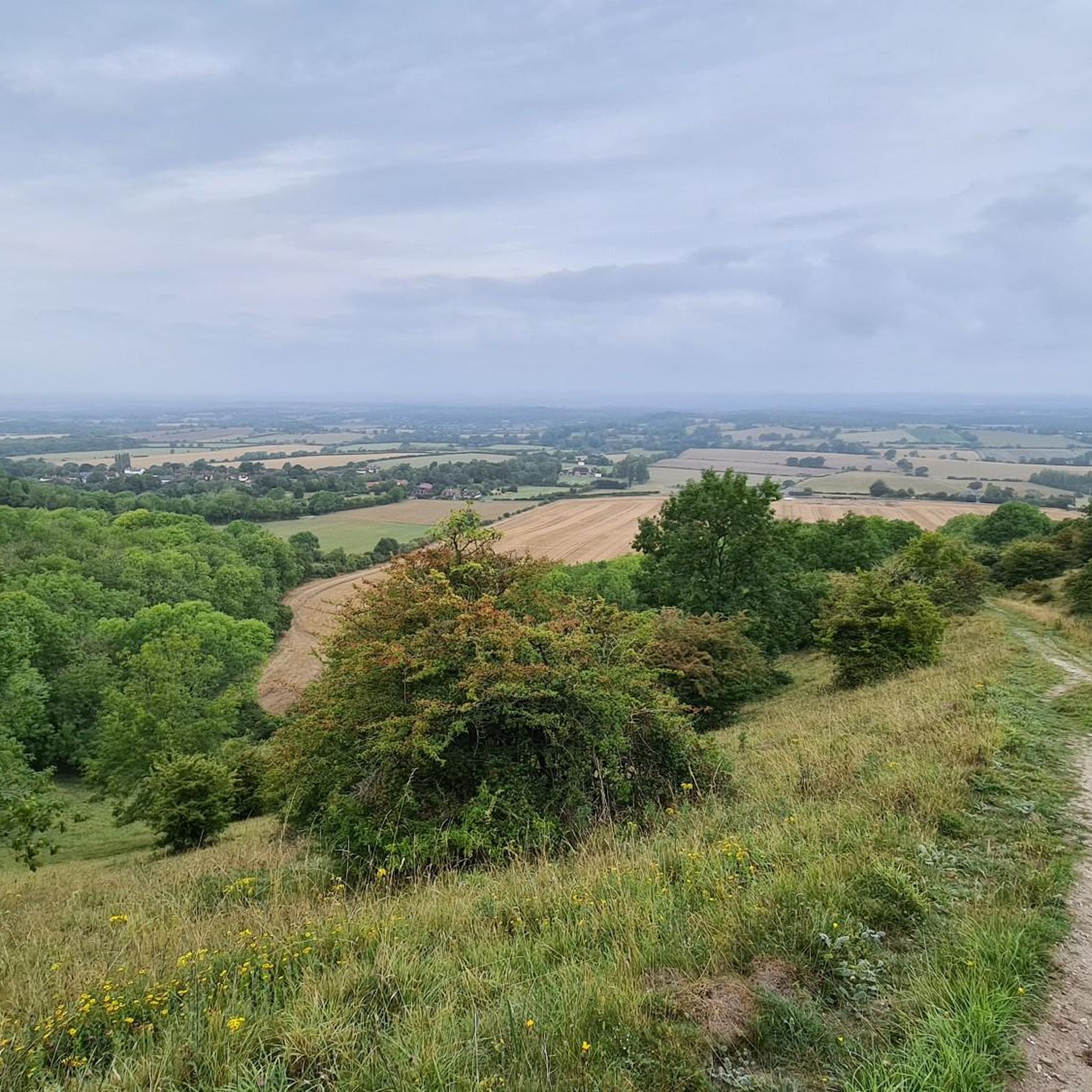
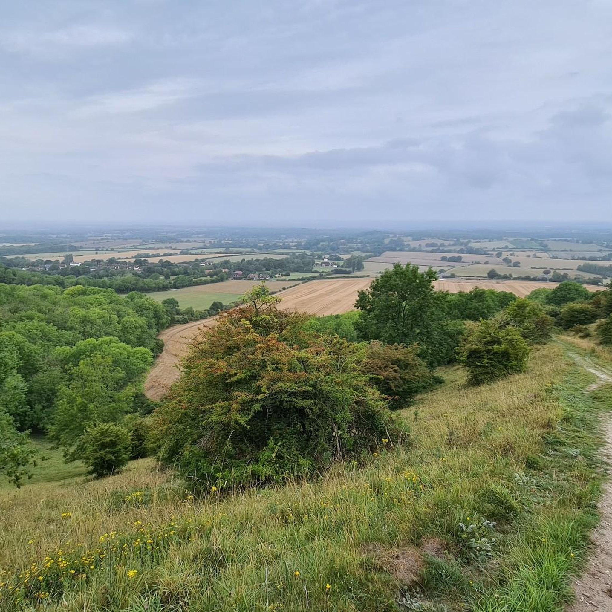
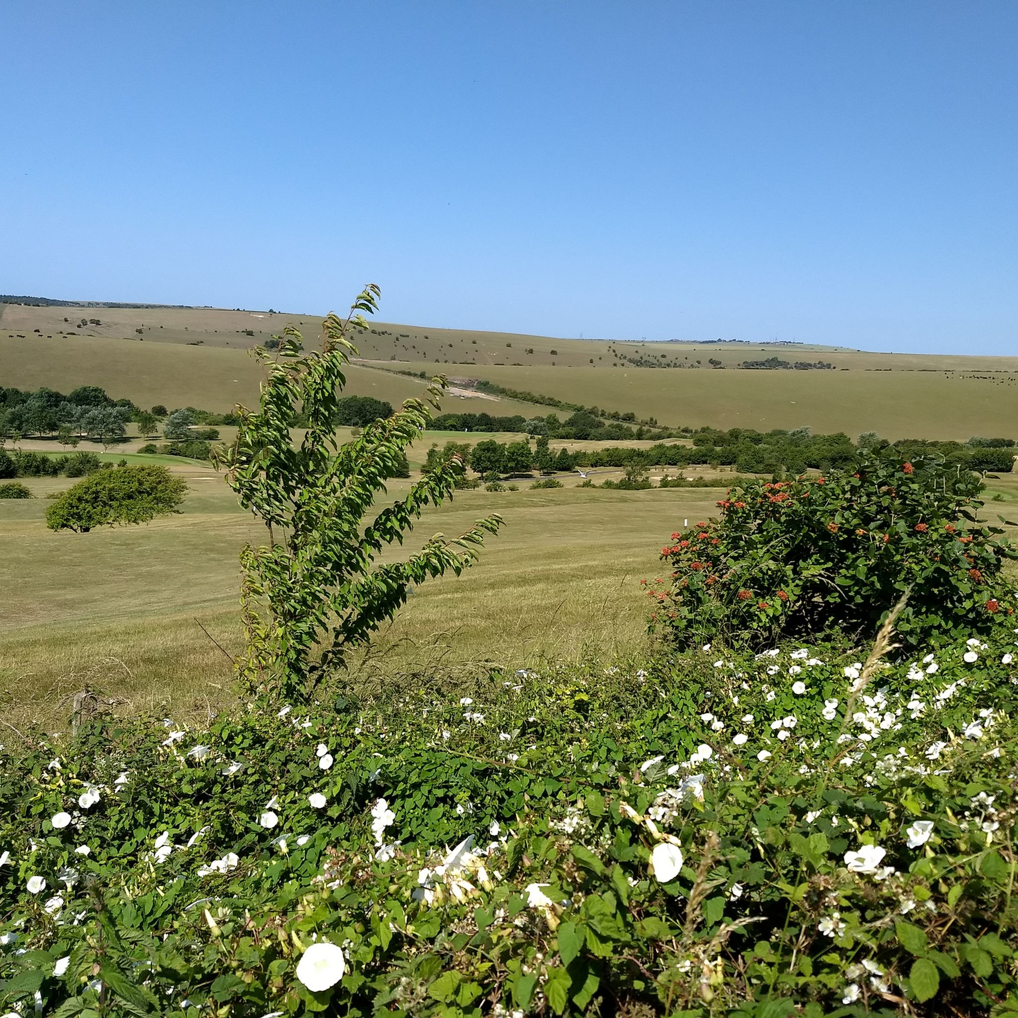
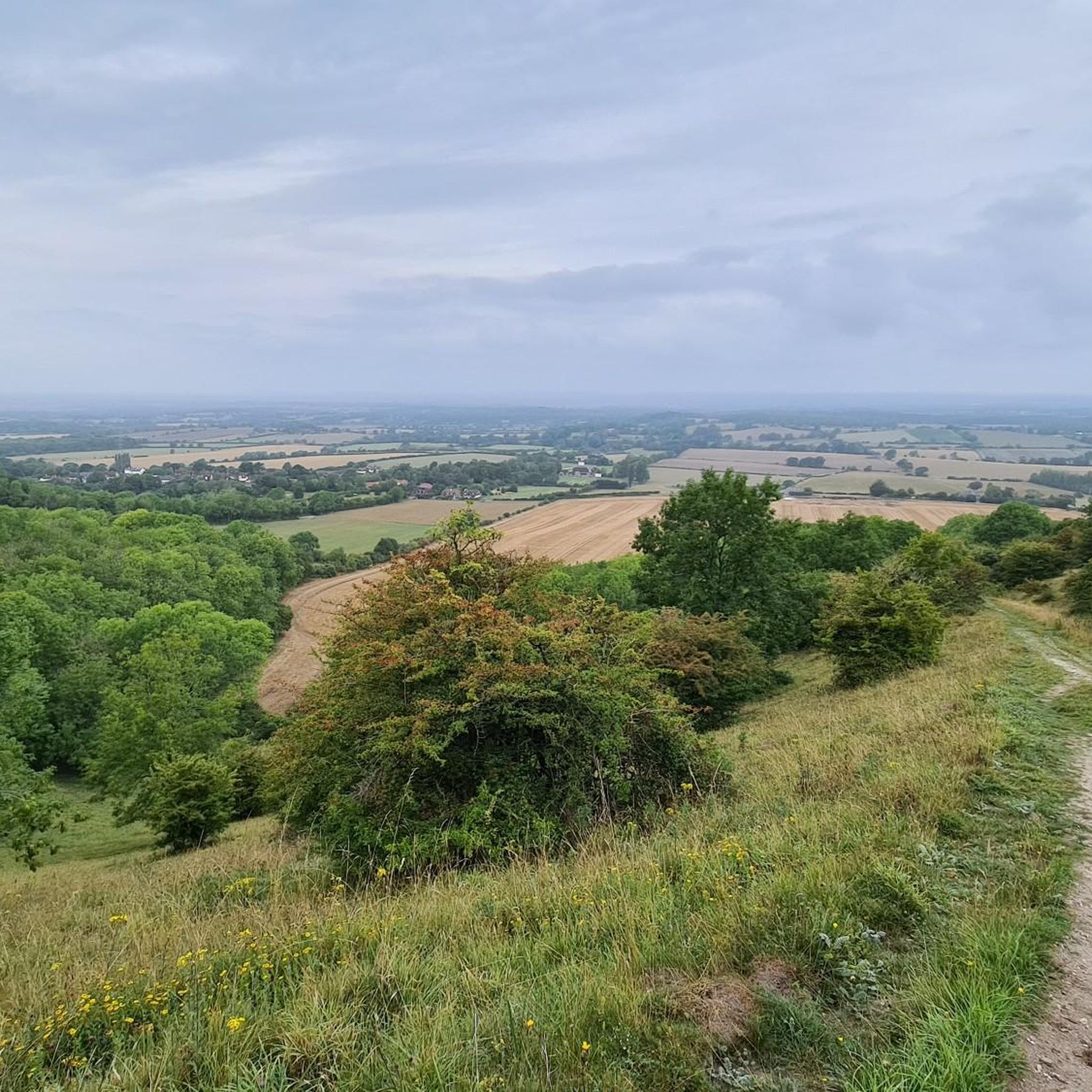
There are nice views down over beautiful South Downs countryside to be had from here.
0
0
A 'Sixpath' or a crossing of six footpaths sits on the Monarch's Way high above Shoreham On Sea. It literally joins and provides access to all of the local hiking routes. With commanding views you can see far out over the South Downs National Park and out into the English Channel. There is even a bench to enjoy it from. Apart from that it's not a bad spot!
1
0
A beautiful walking section on a pristine bridleway with gorgeous views on a sunny day.
0
0
This is a stunning viewpoint looking down on the flatter lands of the North. Perfectly manicured English countryside in all its glory.
0
0
ポイニングスでのの人気観光スポット

komootモバイルアプリでインスピレーションを得よう


さらに探索
他の地域の最高のハイキングを見てみましょう。
