ライデールのおすすめウォーキング&ハイキングルート
4.5
(4072)
30,542
ハイカー
1,038
ハイキング
ライデールでのハイキングに出かけて、ノースヨークシャーのこのエリアを探索してみませんか?このガイドでご紹介するのは、komootがライデールでのハイキング・ウォーキングルートのコレクション全体を評価して選び抜いた、このエリアの人気ハイキングルートです。あなたに合った でのハイキングを見つけるには、他のユーザーがアップロードした役立つ情報や写真を閲覧し、各ルートに関するみんなの意見やコメントを参考にしましょう。
最終更新日: 9月 26, 2026
4.7
(39)
346
ハイカー
6.73km
01:49
100m
100m
初級者向けハイキング. あらゆるフィットネスレベルに適しています。 進みやすいルートです。あらゆるスキルレベルに適しています。
4.5
(55)
196
ハイカー
17.1km
04:43
280m
280m
中程度のハイキング. ある程度のフィットネスレベルが必要です。 進みやすいルートです。あらゆるスキルレベルに適しています。

4.7
(47)
286
ハイカー
11.5km
03:20
270m
270m
中程度のハイキング. ある程度のフィットネスレベルが必要です。 全般的に進みやすいルートです。安定して歩行できる技術が必要です。
4.5
(56)
270
ハイカー
7.49km
02:00
80m
80m
初級者向けハイキング. あらゆるフィットネスレベルに適しています。 進みやすいルートです。あらゆるスキルレベルに適しています。
4.7
(15)
338
ハイカー
5.49km
01:26
40m
40m
初級者向けハイキング. あらゆるフィットネスレベルに適しています。 進みやすいルートです。あらゆるスキルレベルに適しています。
4.7
(47)
168
ハイカー
11.6km
03:14
220m
220m
中程度のハイキング. ある程度のフィットネスレベルが必要です。 進みやすいルートです。あらゆるスキルレベルに適しています。
4.6
(24)
95
ハイカー
15.9km
04:21
240m
250m
中程度のハイキング. ある程度のフィットネスレベルが必要です。 全般的に進みやすいルートです。安定して歩行できる技術が必要です。
4.4
(27)
128
ハイカー
5.27km
01:27
80m
80m
初級者向けハイキング. あらゆるフィットネスレベルに適しています。 進みやすいルートです。あらゆるスキルレベルに適しています。
4.5
(27)
125
ハイカー
初級者向けハイキング. あらゆるフィットネスレベルに適しています。 進みやすいルートです。あらゆるスキルレベルに適しています。
4.5
(32)
131
ハイカー
7.76km
02:14
190m
190m
中程度のハイキング. ある程度のフィットネスレベルが必要です。 進みやすいルートです。あらゆるスキルレベルに適しています。
さらに多くのルートや他のユーザーのおすすめ情報を確認できます。
すでにアカウントをお持ちですか?
おすすめのツアーは他のkomootユーザーが実際に経験した何千ものアクティビティに基づいています。
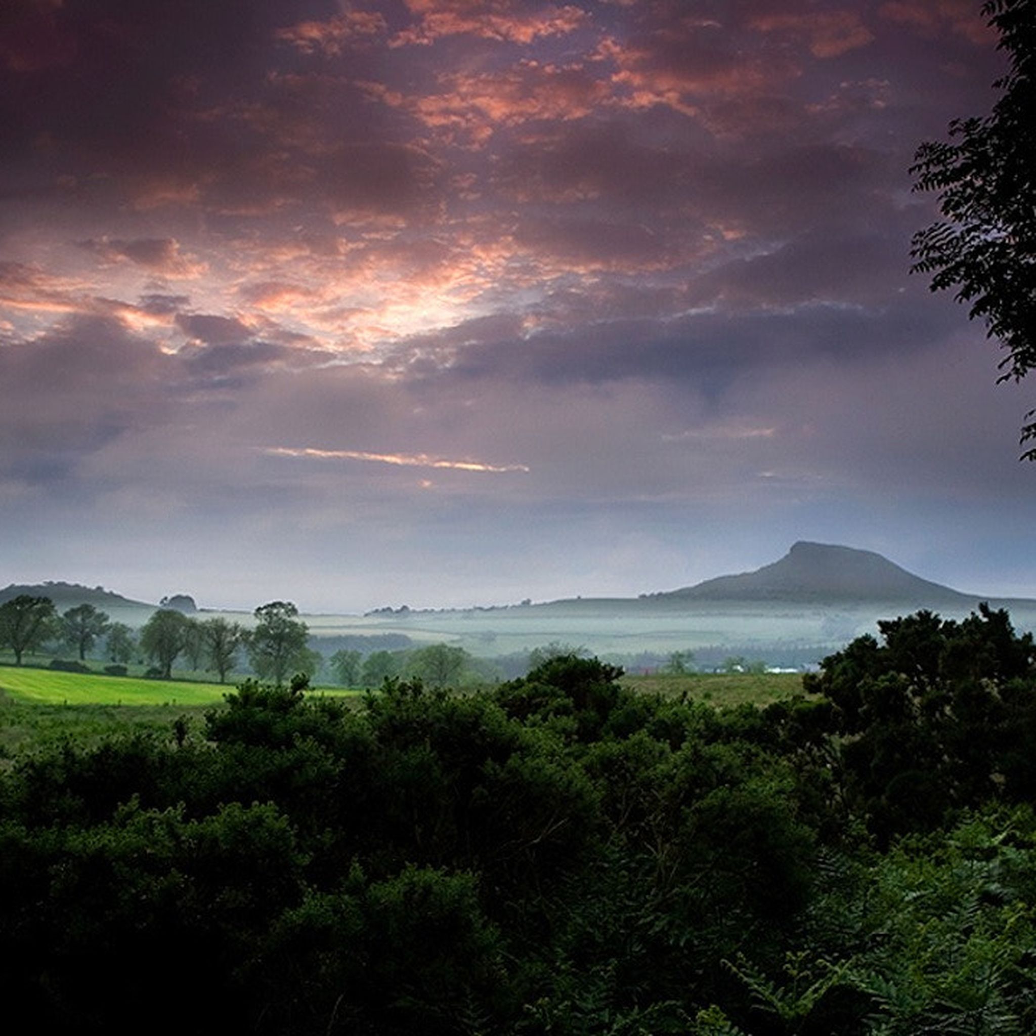
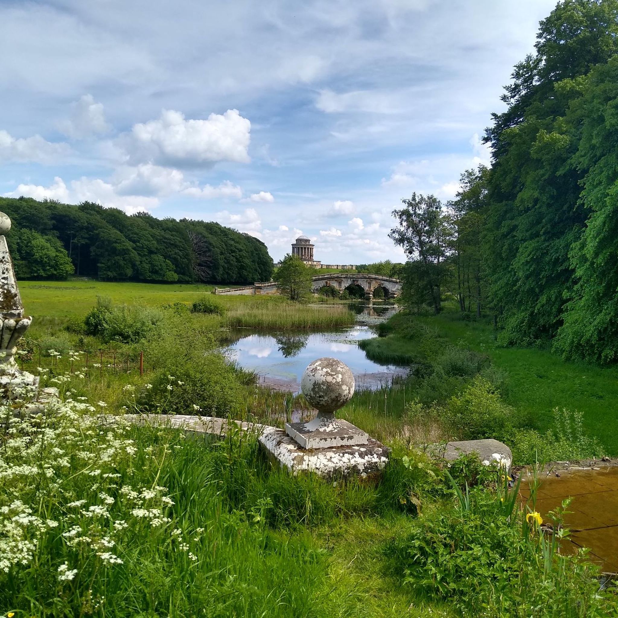
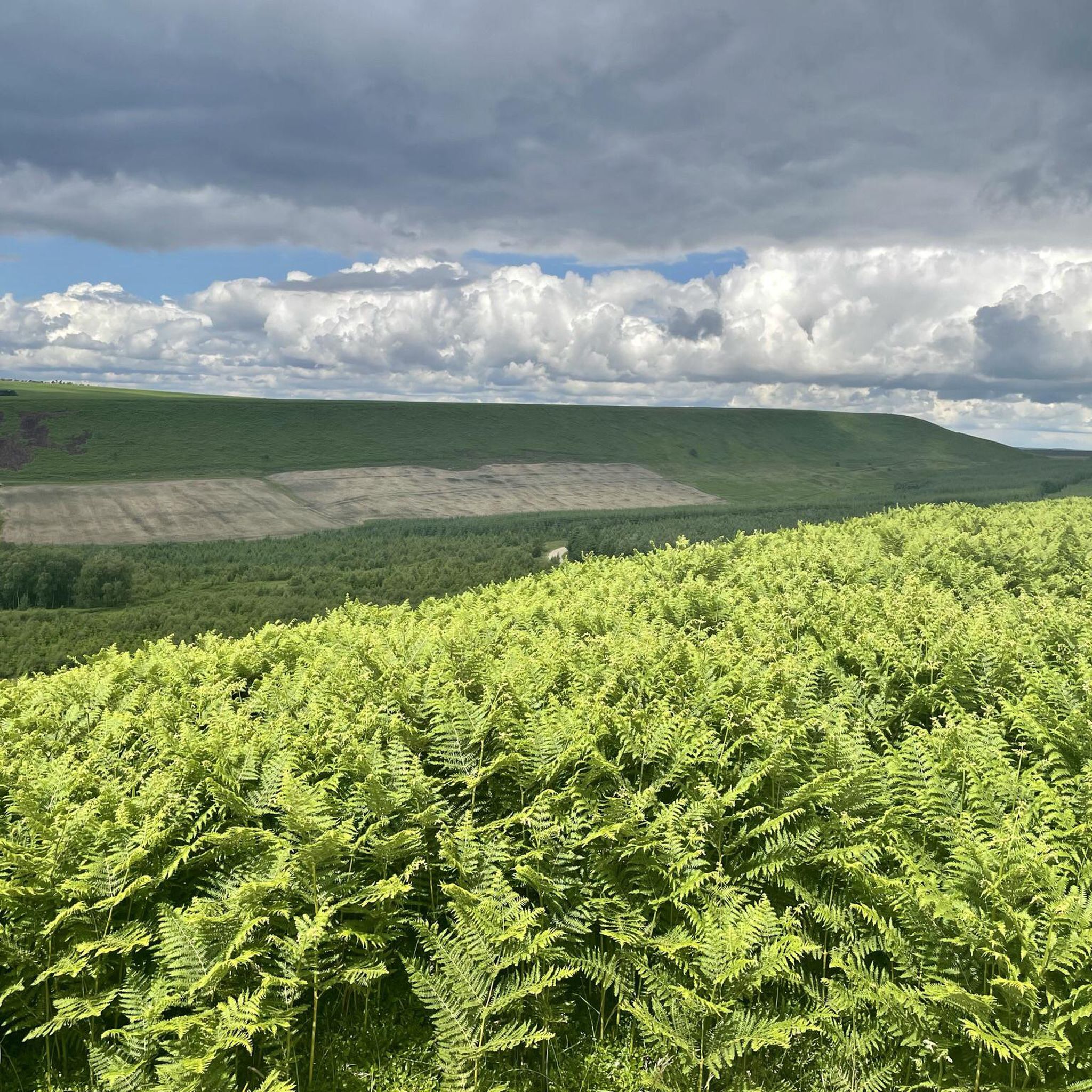
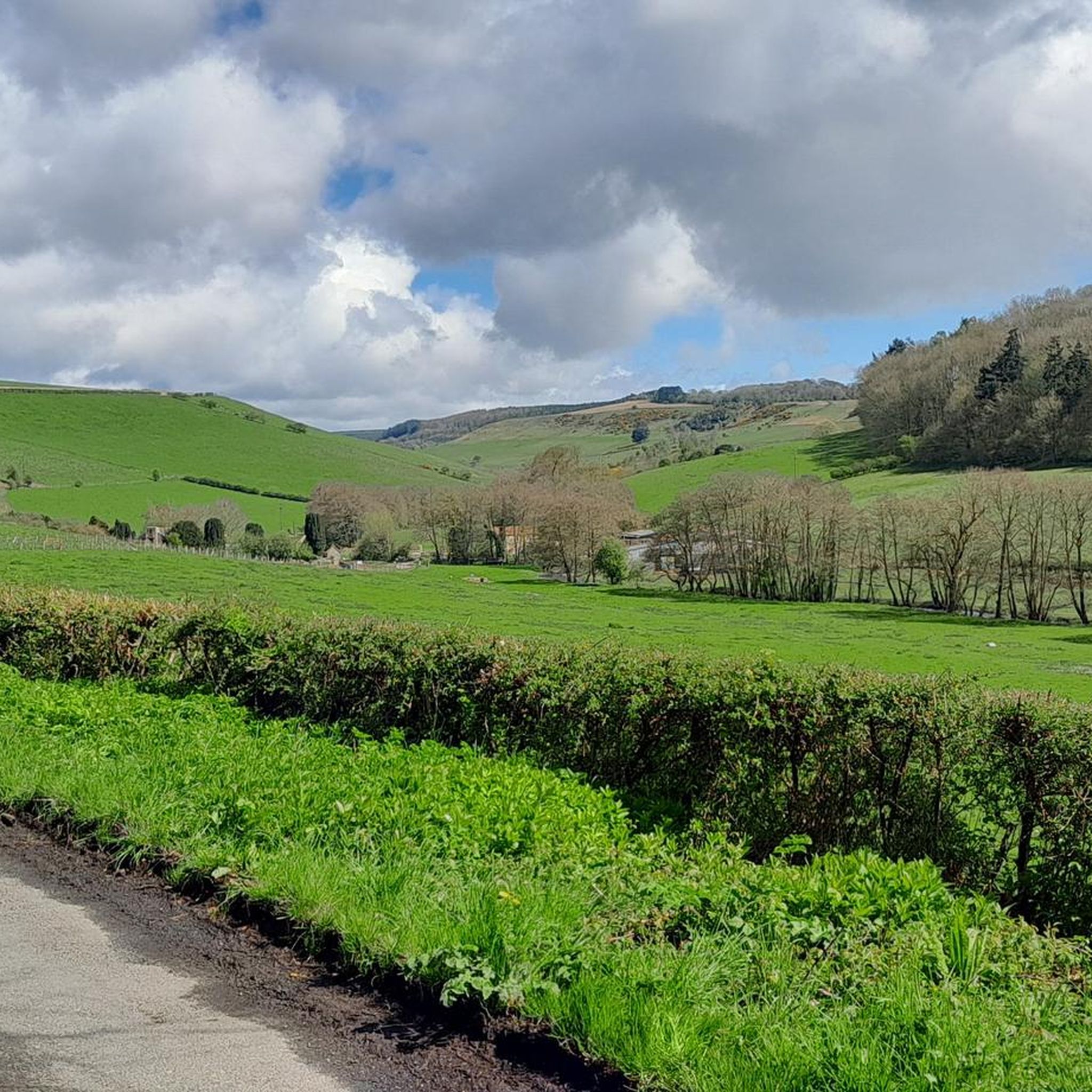
ライデールでのの他の冒険


コミュニティからのヒント

実際には、素晴らしい景色を楽しめる変化に富んだハイキングです。White Horseへの急な登りのため、やりがいがあります。最後の右折(障害物を乗り越える必要があります)は絶対に避け、代わりにまっすぐ進んでください。番犬が「道」全体に沿って大きな声で吠えながらあなたを追いかけるだけではありません。道は主にアザミと巨大なイラクサで完全に荒れており、2つのゲートを乗り越える必要があります。
0
0

バイランド修道院は、イングランドのノースヨークシャーにあるノースヨークムーアズ国立公園内に位置する12世紀の廃墟となった修道院で、現在はイングリッシュ・ヘリテージが管理しています。かつてシトー会の強力な拠点であったこの修道院は、国内における初期ゴシック建築の最も優れた例の一つであり、ヨーク・ミンстерの象徴的なバラ窓のデザインにインスピレーションを与えたことで有名です。
0
0
Bridestonesは、ノースヨークシャーのダルビーフォレストにあるユニークな岩石層です。元々は最終氷河期に氷河が移動したことによって形成され、砂岩層は1億5000万年前のものです。
0
0

The bridge lies on the forest track that runs north from Ellers Wood, just before reaching Dalby Forest Drive. It’s part of a well-used walking route connecting Thornton-le-Dale, Ellerburn, and Low Dalby,
1
0
The Bridestones are the remnants of a sandstone cap, deposited during the Jurassic period, some 150 million years ago. The formations consist of alternating layers of hard sandstone and softer calcareous layers. Erosion by wind, frost, and rain over millennia has created the unique and bizarre shapes seen today. The term "Bridestones" may have originated from the Old Norse words "brink-stones" or "edge stones" The Bridestones are steeped in folklore and legend, connecting them to ancient cultures and mythical beings. Some legends suggest the Bridestones were ancient meeting places for Druids, while others tell tales of giants who once roamed the moors. One legend speaks of a young couple who eloped and found shelter among the rocks, whose love caused the stones to form a protective arch. Another story tells of Nan Moor and Jack Stone, guardians of the stones, who lived in a rock house and were possibly married there. The Bridestones are sometimes associated with the Celtic goddess Brigantia.
0
0
A ruined two-story structure built around 1830 by Reverend Robert Skelton, the rector of Levisham. It was initially used as a shooting lodge and possibly as a retreat for Skelton to write sermons or enjoy quiet drinks. Situated on Corn Hill Point, a grassy headland overlooking Newtondale, there are fabulous views of both Cropton Forest and the NYMR.
0
0
Gormire Lake is a natural lowland lake that lies at the foot of Whitestone Cliff, a western escarpment of the Hambleton Hills
0
0
The remains of this Augustinian priory include a gatehouse adorned with the De Roos family heraldry. You can also learn about the priory's role in World War II, including Winston Churchill's secret visit and its use in training and testing for D-Day.
0
0

komootモバイルアプリでインスピレーションを得よう


探していたものは見つかりませんでしたか?
ライデールの下にある他のハイキングをチェックして、目的地で完璧なルートを見つけましょう。
