フォルカーオーデのおすすめウォーキング&ハイキングルート
4.6
(8073)
25,907
ハイカー
17
ハイキング
Volkerode周辺のハイキングは、ドイツのアイヒスフェルト地方に広がる多様な地形を楽しめます。起伏のある丘、緑豊かな牧草地、そして鬱蒼とした森が織りなす変化に富んだ自然環境が広がっています。特筆すべき標高としては、標高537メートルのゴベルト山や、ヘッシシェ・シュヴァイツ地域の一部である標高562メートルのヘーエシュタインがあります。トレイルは、歴史的なドイツ国内国境の一部にも沿っており、自然の美しさと歴史的な重要性を兼ね備えています。
Volkerode周辺の最高のハイキングトレイル
- 最も人気のあるハイキングルートは、フォルカーデからの「ルルドの礼拝堂フォルカーズ – ゴブルクアンテナハウスループ」で、距離8.1km(5.0マイル)、所要時間2時間26分の適度な難易度のトレイルです。このルートからは、アイヒスフェルト地方の周囲の景色を眺めることができます。
- 地元のハイカーに人気のもう一つのルートは、フォルカーデからの「ゴベルトの歴史的な石灰窯 – ヴォルフスティッシュ展望台ループ」で、距離12.7km(7.9マイル)の適度な難易度のパスです。このトレイルは、高い展望で知られるゴベルト地域を探索します。
- 地元のハイカーに愛されているもう一つのルートは、フォルカーデからの「ルルドの礼拝堂フォルカーズ – シュタージ・シュリュースループ」で、距離7.1km(4.4マイル)のトレイルは、変化に富んだ地形を通り抜け、所要時間は約2時間11分です。
- Volkerode周辺のハイキングは、起伏のある丘、鬱蒼とした森、そして歴史的な国境トレイルが特徴です。このネットワークは、簡単な散策からより要求の厳しい中程度のルートまで、さまざまなレベルの能力に応じたオプションを提供しています。
- Volkerodeのルートは、7000件以上のレビューから平均4.6つ星という高い評価をkomootコミュニティから受けています。25,000人以上のハイカーがkomootを利用して、Volkerodeの多様な地形を探索しています。
最終更新日: 10月 8, 2026
4.4
(8)
36
ハイカー
14.3km
04:15
380m
380m
中程度のハイキング. ある程度のフィットネスレベルが必要です。 全般的に進みやすいルートです。安定して歩行できる技術が必要です。
4.7
(6)
21
ハイカー
8.14km
02:27
250m
250m
中程度のハイキング. ある程度のフィットネスレベルが必要です。 進みやすいルートです。あらゆるスキルレベルに適しています。

4.8
(8)
11
ハイカー
13.3km
04:11
460m
460m
中程度のハイキング. ある程度のフィットネスレベルが必要です。 全般的に進みやすいルートです。安定して歩行できる技術が必要です。
2.5
(2)
6
ハイカー
7.11km
02:12
250m
250m
中程度のハイキング. ある程度のフィットネスレベルが必要です。 進みやすいルートです。あらゆるスキルレベルに適しています。
3.0
(1)
3
ハイカー
7.04km
01:57
130m
130m
初級者向けハイキング. あらゆるフィットネスレベルに適しています。 進みやすいルートです。あらゆるスキルレベルに適しています。
さらに多くのルートや他のユーザーのおすすめ情報を確認できます。
すでにアカウントをお持ちですか?
おすすめのツアーは他のkomootユーザーが実際に経験した何千ものアクティビティに基づいています。
無料アカウントで今日から始めよう
次の冒険が待っています。
コミュニティからのヒント


The highest point in Eichsfeld
0
0

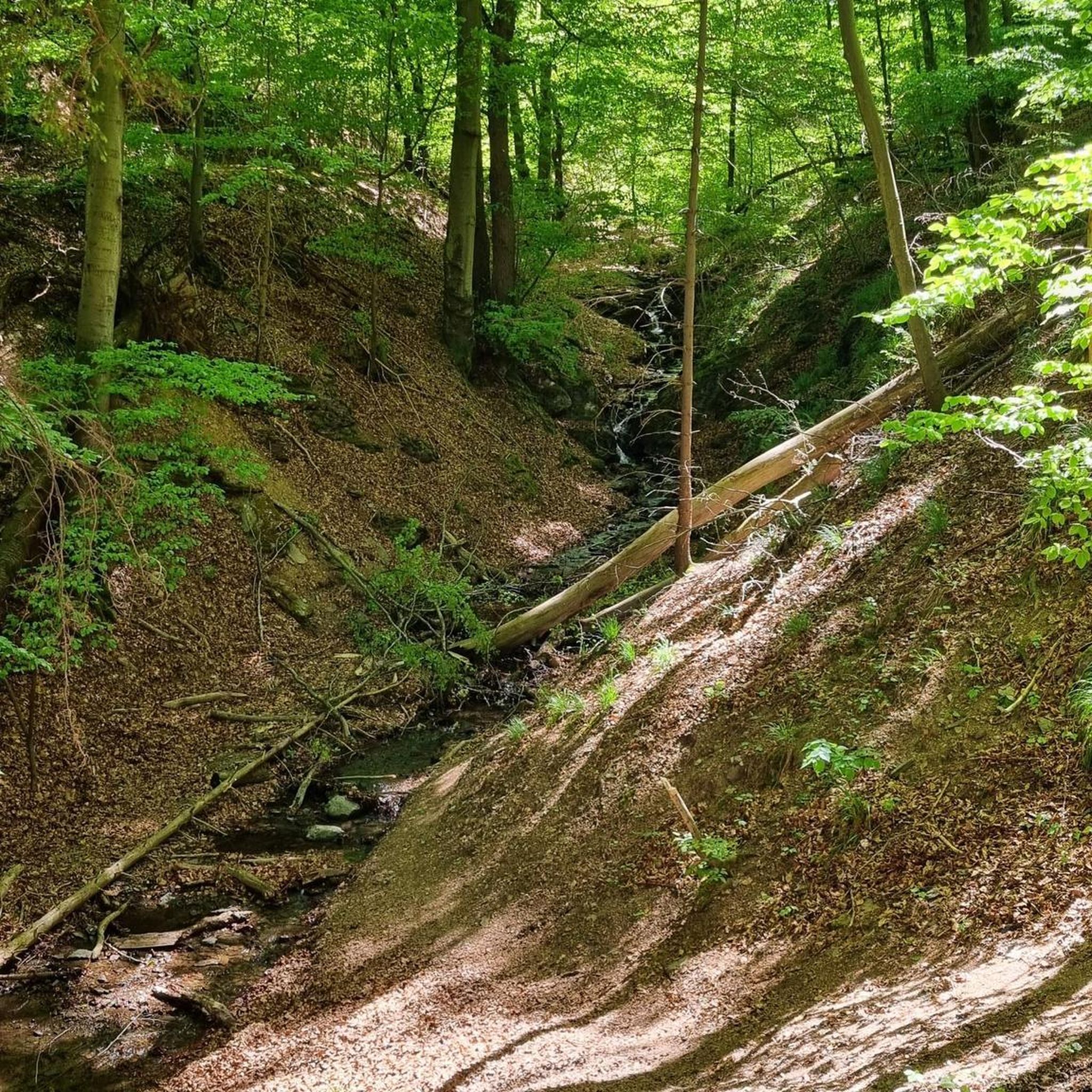
The "Pferdeloch" (Horse Hole) is a narrow and deep gorge formed by a landslide. During the Thirty Years' War, the local population hid their livestock here from plundering soldiers. The viewpoint above the Pferdeloch, at an altitude of approximately 470 meters, offers a view of Hitzelrode and the Hohestein mountain. Source: https://de.wikipedia.org/wiki/Hessische_Schweiz_bei_Meinhard
4
0
Beautiful view to the right past the Hörne into the Werra Valley near Bad Sooden-Allendorf. Rothestein Castle is located on the small ridge directly before the Werra River.
2
1
In the 1950s, lime was burned in this tower-like kiln, built of bricks and rounded to a height of approximately 10 meters. Most of the surrounding quarries are now overgrown. Due to its technical and historical significance, it is a cultural monument worthy of protection.
3
1

This was the first time I'd ever seen a Stasi tunnel like this. It was fascinating. They'd thought of practically everything. 😬
9
1
On the Gobert you can follow the border relatively quickly on the patrol path.
9
0

komootモバイルアプリでインスピレーションを得よう


さらに探索
他の地域の最高のハイキングを見てみましょう。
