ヴィットリオ・ベネトのおすすめウォーキング&ハイキングルート
4.5
(1324)
6,628
ハイカー
251
ハイキング
ヴィットリオ・ベネト周辺でのハイキングは、景色を満喫するのに最適な手段のひとつですが、適切なハイキングルートを見つけることは簡単ではありません。 ヴィットリオ・ベネト周辺の人気ハイキング&ウォーキングコースを参考にすれば、行きたいルートをすぐに見つけられます。
最終更新日: 9月 13, 2026
4.5
(90)
487
ハイカー
5.44km
01:30
90m
90m
Embark on the Sentiero del Lago Morto e Laghi Blu loop trail for an easy hike through the Val Lapisina, near Vittorio Veneto. This route spans 3.4 miles (5.4 km)…
4.4
(86)
466
ハイカー
4.21km
01:07
40m
40m
Embark on an easy hike around Lago Morto, a tranquil loop that offers a refreshing escape into nature. This route spans 2.6 miles (4.2 km) with a gentle elevation gain…

4.6
(76)
279
ハイカー
11.1km
04:04
590m
590m
Embark on a moderate hike along V2 - The Loop of the Two Hillsides, a 6.9-mile (11.1 km) route that takes about 4 hours and 4 minutes to complete. You…
4.6
(73)
260
ハイカー
11.1km
03:53
500m
500m
V2 - The Tour of the Two Coasts offers a moderate hiking experience, spanning 6.9 miles (11.1 km) with a significant elevation gain of 1642 feet (501 metres). You can…
4.5
(55)
170
ハイカー
9.47km
03:27
430m
430m
Embark on the Monte Baldo Loop from Serravalle, a moderate hiking route that spans 5.9 miles (9.5 km). You will experience a diverse landscape, transitioning from Mediterranean-like vegetation to dense…
さらに多くのルートや他のユーザーのおすすめ情報を確認できます。
すでにアカウントをお持ちですか?
おすすめのツアーは他のkomootユーザーが実際に経験した何千ものアクティビティに基づいています。
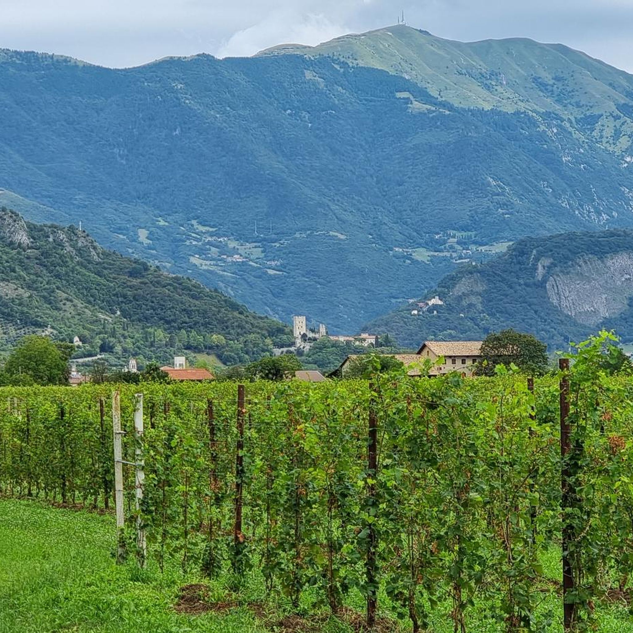
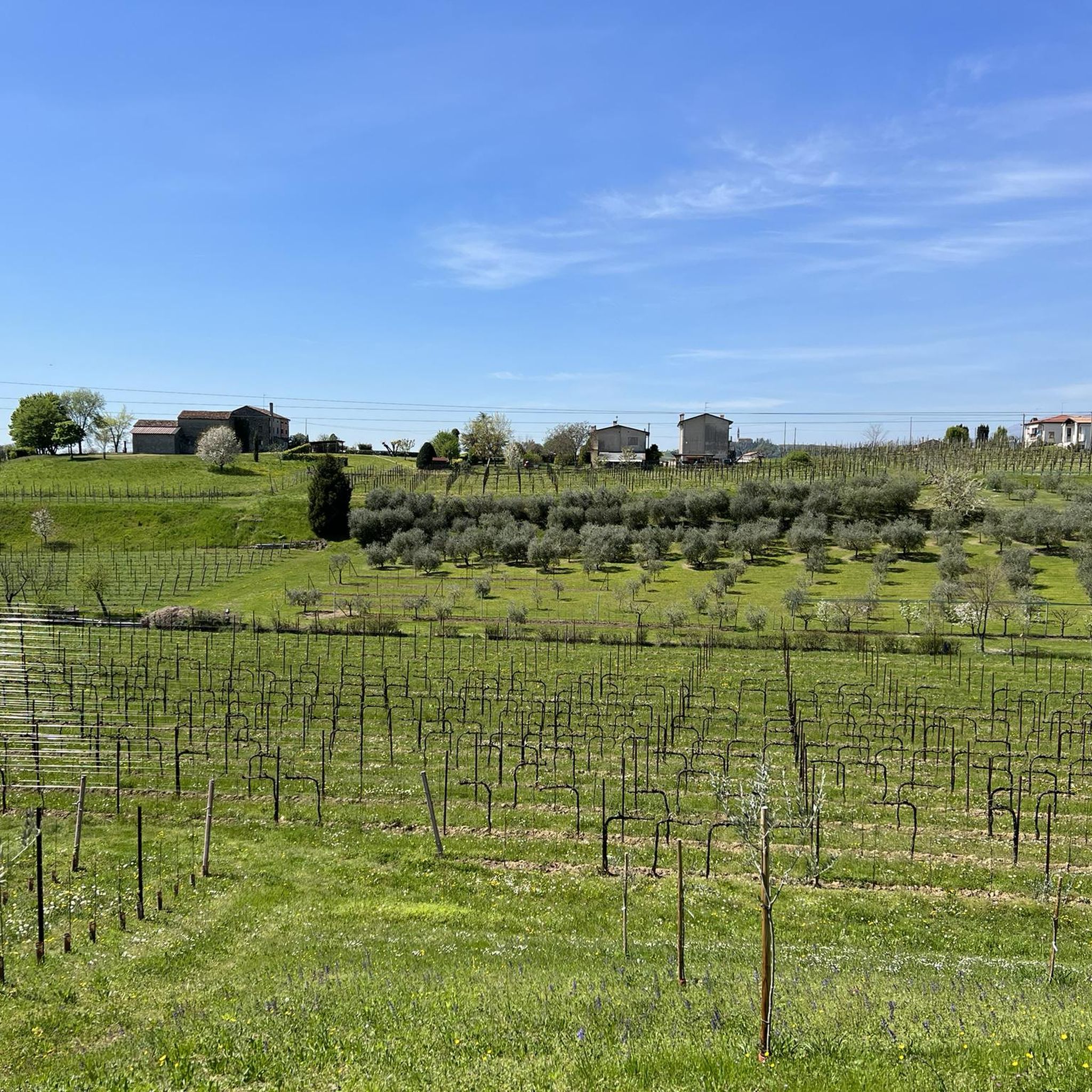
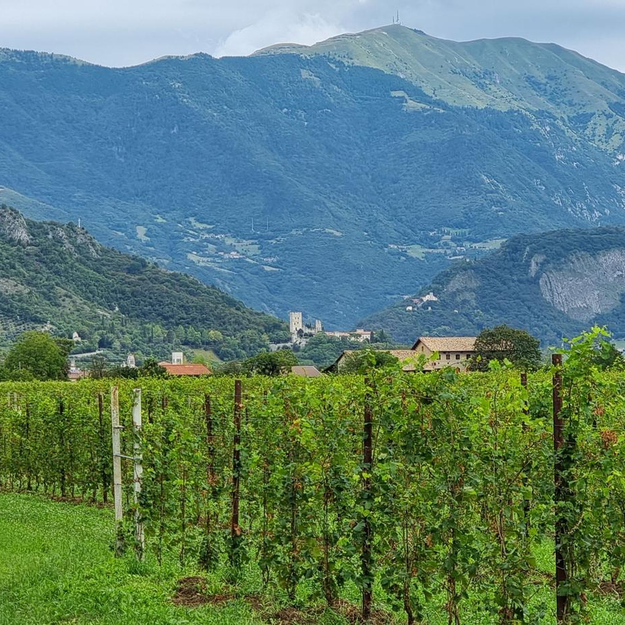
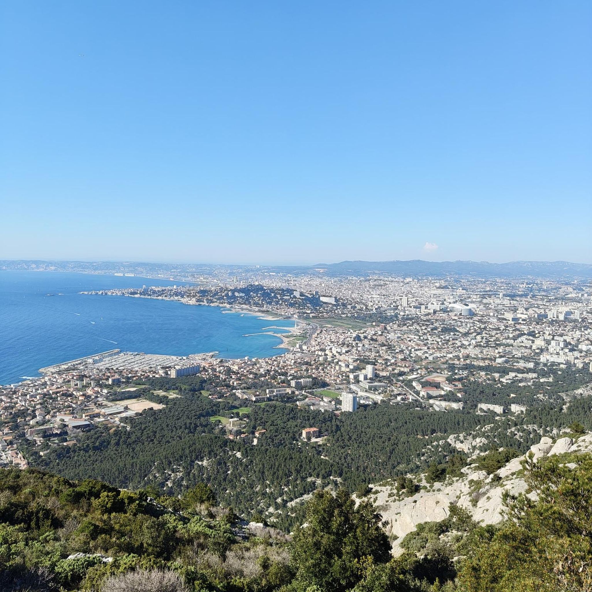



コミュニティからのヒント


Sant’Augustaの階段は、Via Calcadaから、Serravalleのドゥオーモの後ろを出発し、同名の聖域へと続く歩行者用通路です。これは、前世紀の30年代に作られた記念碑的な作品で、対称的な二重のランプを持つ階段があり、その中央には噴水が開発軸を示しています。階段と踊り場は、セメントグリット製の欄干で区切られています。二重のランプの階段は、アーチのある壁の部分で終わり、そこから高台にある目的地への通路が可能になり、同時に、ルートの最初の部分の終結と境界の建築的要素を作り出しています。 この最初の出発部分の後、巡礼のルートは、単純で狭く急なヘアピンカーブの区間へと発展し、そこでは「Codolà」(小石)の舗装が、下側は木の柵で、上側は傾斜地で支えられています。最も急な勾配の地点では、石積みの要素が自然の地形を保持しています。長年にわたり、このルートの部分は、植生の制御不能な成長の影響を受け、歩行面の沈下を引き起こしました。 階段の上流にあるルートの長い区間は、直線的な部分で特徴づけられ、赤い石のモノブロックで作られた幅いっぱいの3つの段で中断され、聖域を見下ろす最後の階段で終わります。
1
0

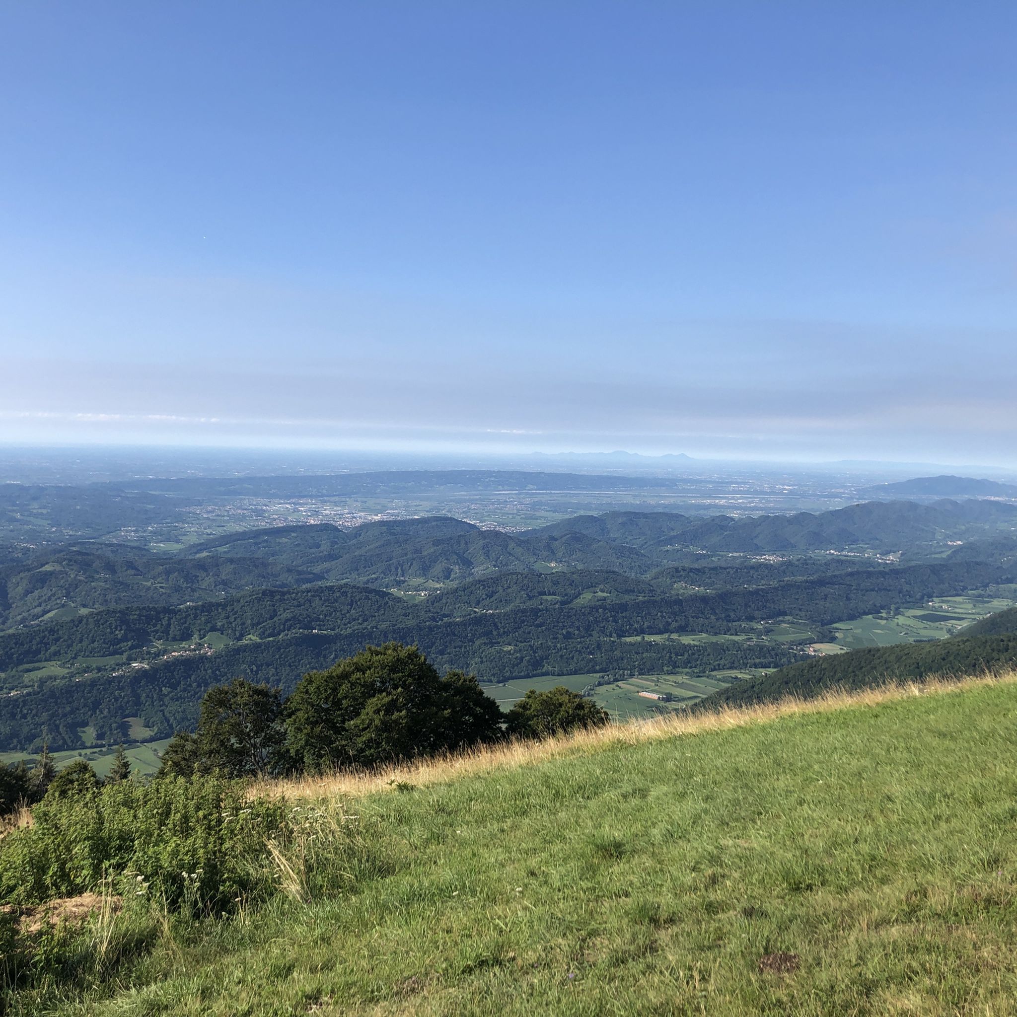
タルツォのモンテ・バルドは標高599メートルに達し、ノガローロの村とレヴィーネ湖を見下ろす景色の良い丘です。標高はそれほど高くありませんが、戦略的な位置にあるため、ヴェネツィアのラグーンからドロミーティの頂上まで360度のパノラマビューを楽しむことができます。山頂の草原と栗の森が特徴で、下の湖の標高225メートルから登るトレイルのおかげで、ハイキングやマウンテンバイクに理想的な場所です。この場所は自然と歴史を融合させ、古代の農村の伝統の痕跡を保存し、プレアルプスの風景とその手つかずの美しさとの直接的な接触を求める人々に、再生的な静けさを提供します。
0
0

excellent in winter for the sunny exposure and the view
0
0


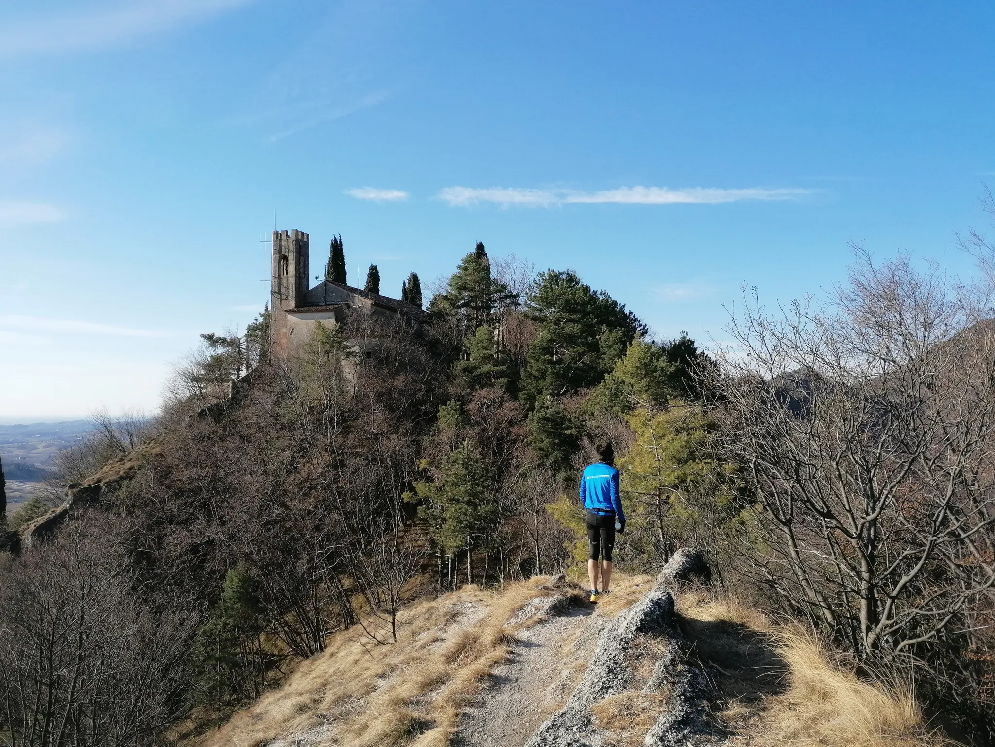
A long avenue lined with cypress trees leads to the Pieve di Sant'Andrea di Bigonzo, isolated in a clearing that once served as a cemetery. The term pieve indicates an early church, equipped with a baptistery, which was responsible for the Christianization of a territory, and this corresponds to the foundation of Sant'Andrea in the 4th or 5th century, at the time of the martyrdom of Saint Augusta. The building in question was however rebuilt in Romanesque style and consecrated in 1303 with great prominence in the chronicles of the time. The façade has a five-lobed rose window in the center and two sepulchral canopies. On the south side stands the 17th-century bell tower while opposite is a small Renaissance portico. The interior, very suggestive, has a single nave covered by trusses, with four elegant canopies at the corners. The decorative set is noteworthy: frescoes mostly from the 15th and 16th centuries (Antonello da Serravalle, Francesco da Milano, Palma); sculptures (baptismal font with monolithic basin from the 11th century, two wooden crucifixes from the 14th and 15th centuries, a Renaissance altar with Saint Catherine), wooden tabernacle and polyptych from the Titian school; paintings attributed to Palma the Younger (1548-1628) and Francesco Frigimelica (ca. 1560-1649). Extract from «Vittorio Veneto e le Prealpi Trevigiane»
0
0

komootモバイルアプリでインスピレーションを得よう


さらに探索
他の地域の最高のハイキングを見てみましょう。
