ラギのおすすめウォーキング&ハイキングルート
4.5
(5637)
29,329
ハイカー
13
ハイキング
ラギ周辺でのハイキングは、景色を満喫するのに最適な手段のひとつですが、適切なハイキングルートを見つけることは簡単ではありません。 ラギ周辺の人気ハイキング&ウォーキングコースを参考にすれば、行きたいルートをすぐに見つけられます。
最終更新日: 8月 30, 2026
4.5
(2)
6
ハイカー
15.0km
07:39
1,250m
1,250m
Hike the difficult 9.3-mile Monte Maggio WWI Trail (via Route 520) with 4105 feet of gain, exploring WWI history and panoramic views.
5.0
(1)
6
ハイカー
9.86km
04:37
790m
790m
Historic WWI cemetery trail through fairytale valleys connecting Italian and Austrian mountain heritage.

無料新規登録
2
ハイカー
20.2km
09:11
1,400m
1,400m
Historic WWI ridge hike through trenches and fortified outposts with sweeping Veneto Alps views.
4.8
(6)
34
ハイカー
17.3km
08:20
1,250m
1,250m
難しいハイキング. 標準以上のフィットネスレベルが必要です。 全般的に進みやすいルートです。安定して歩行できる技術が必要です。
5.0
(1)
15
ハイカー
11.8km
05:40
890m
890m
難しいハイキング. 標準以上のフィットネスレベルが必要です。 安定して歩行できる技術、丈夫な靴、高標高地での登山経験が必要です。
さらに多くのルートや他のユーザーのおすすめ情報を確認できます。
無料新規登録
すでにアカウントをお持ちですか?
おすすめのツアーは他のkomootユーザーが実際に経験した何千ものアクティビティに基づいています。
無料アカウントで今日から始めよう
次の冒険が待っています。
ログインまたは登録
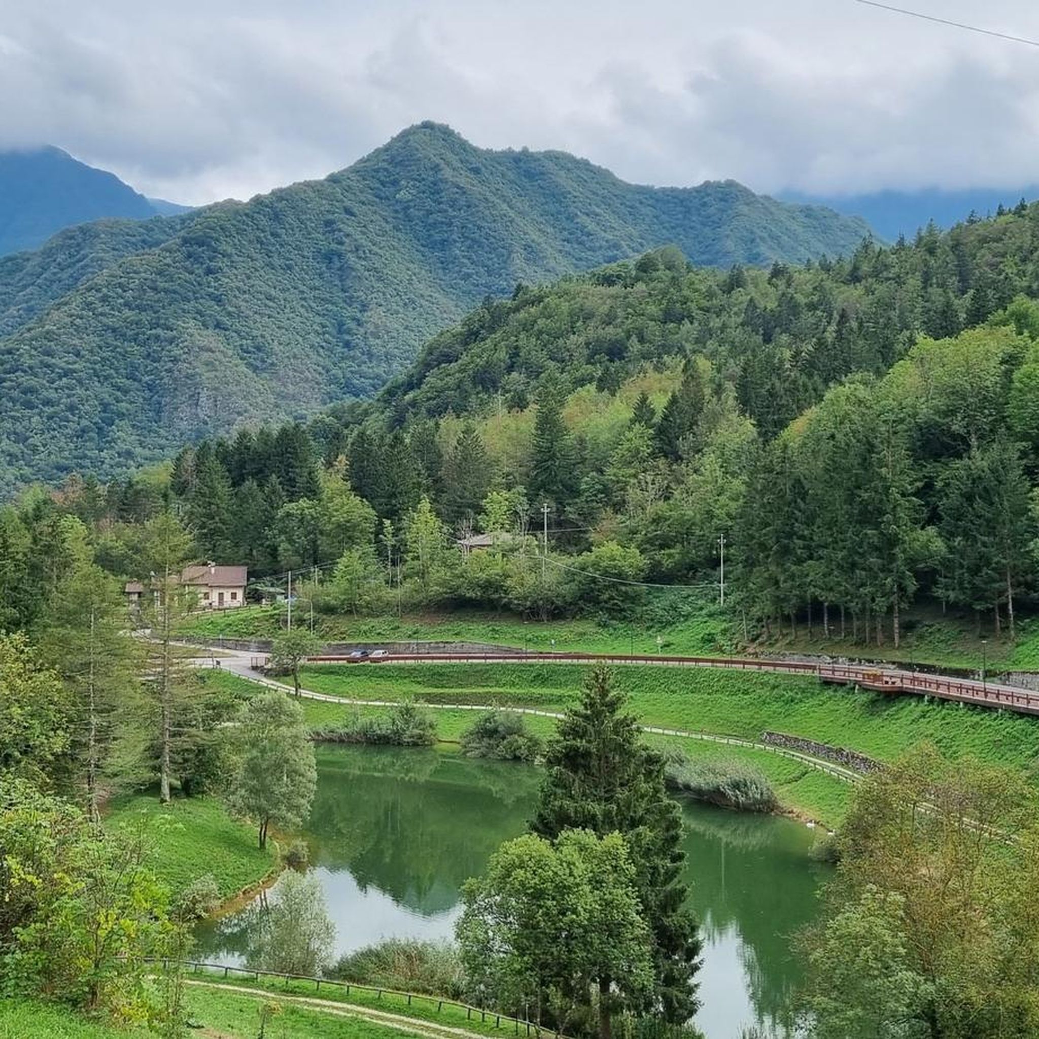
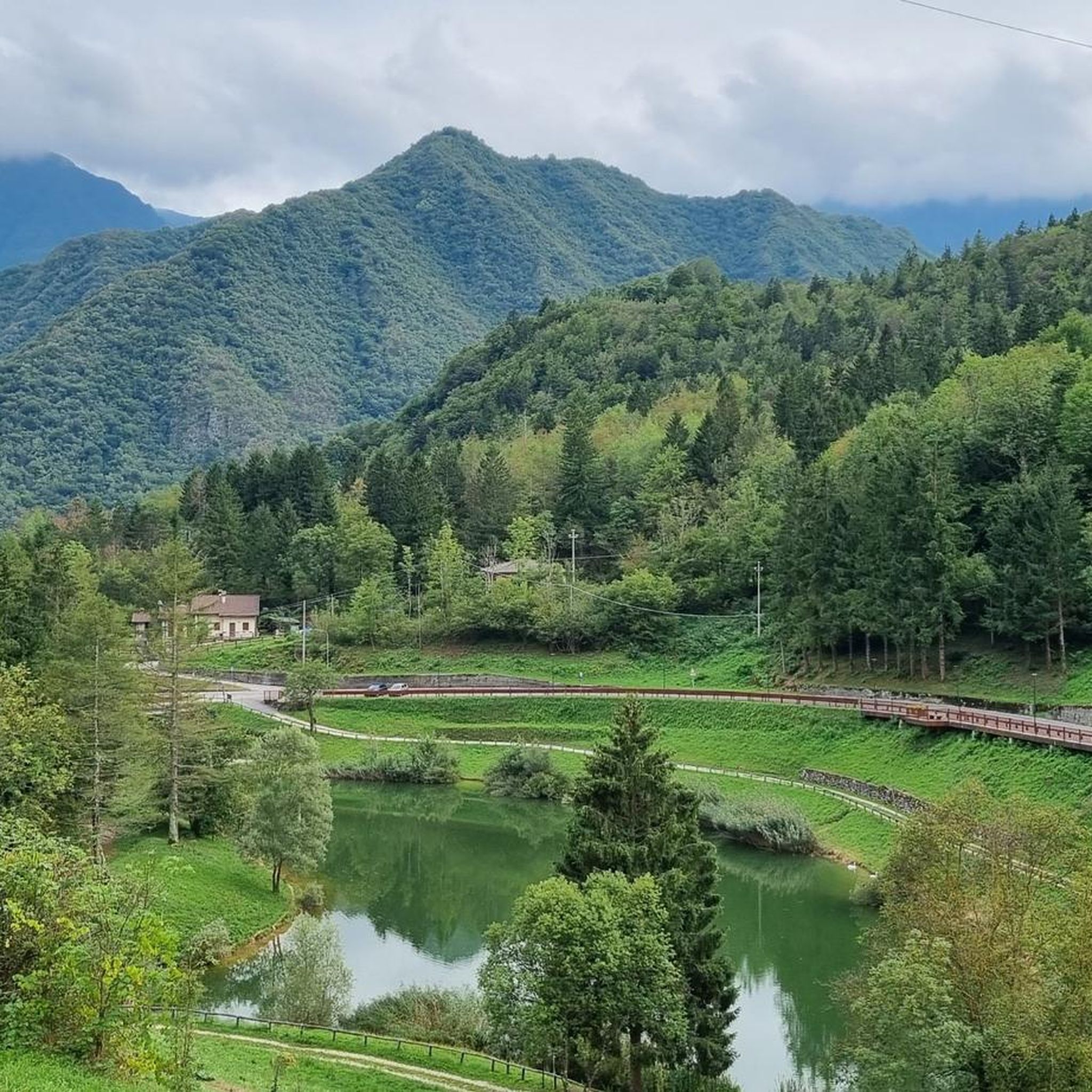
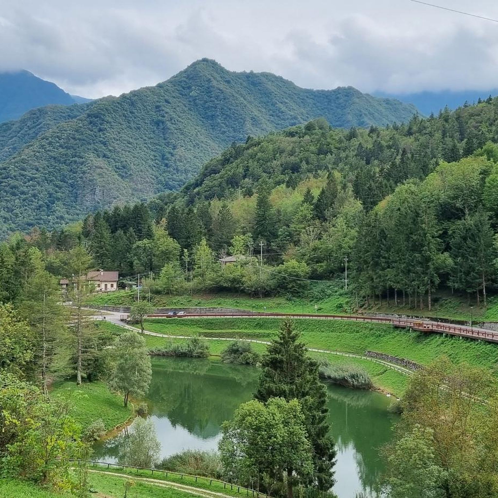

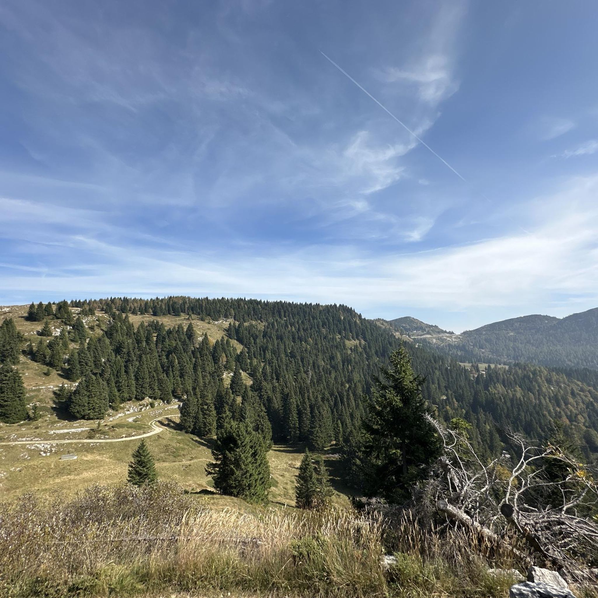
コミュニティからのヒント


A mountain of great historical significance due to the events of the First World War. It preserves traces of its past, with trench lines and military mule tracks.
0
0

Splendid path enclosed between dark walls to climb from the village of Laghi towards the Tonezza-Fiorentini-Folgaria plateau.
0
0

DO NOT GO UP TO MONTE MAGGIO BY THE TRACK ⚠️ but take the dirt road from Passo Coe, changing the track👍
1
0

Beautiful, but those afraid of heights should choose another option
0
0


Cima Kastele or Castele (1474m) offers a much wider and more worthy view than the nearby and more famous Monte Maio (1499m), because it is not obstructed by trees and reliefs: from here you can see, from left to right, the Asiago Plateau, the lower Val d'Astico, the Summano, the Priaforà, the entire northern profile of the Novegno, in the foreground, and the Pasubio. During the Great War it was a fortified Italian outpost against the very nearby Monte Maio, in the hands of the Austro-Hungarians.
2
0
Mount Maio or Majo (1499m) offers a beautiful overhanging view of the upper Val Posina and the eastern profile of the Pasubio group. During the Great War, after the Strafexpedition of 1916 and the subsequent retreat of the Austro-Hungarian soldiers, the mountain was transformed by them into an impregnable observation outpost on the Novegno, Val Posina and Val di Ferro: at the time there were not all these trees blocking the view. The Italian infantry assaulted it repeatedly, conquering its ante-summit (the nearby Kastele), but they never managed to flush the enemy from the summit: the two sides remained spying on and facing each other a few dozen meters away, until the end of the conflict. The trench lines are still visible. N.B.: the signs indicate the saddle below as 'Monte Maio' ('Bocchetta del Dina'), but for the panoramic point with a cross you need to climb to 'Monte Maieto' (5min). TIP: Cima Kastele, a 10-minute walk away, offers a much wider and more worthwhile view, because it is not obstructed by trees and reliefs; from there you can see, from left to right, the Asiago Plateau, the lower Val d'Astico, Summano, Priaforà, the entire northern profile of Novegno and Pasubio.
3
0

komootモバイルアプリでインスピレーションを得よう


さらに探索
他の地域の最高のハイキングを見てみましょう。
