ガンベッラーラのおすすめウォーキング&ハイキングルート
4.4
(1655)
8,794
ハイカー
342
ハイキング
ガンベッラーラ周辺でのハイキングは、景色を満喫するのに最適な手段のひとつですが、適切なハイキングルートを見つけることは簡単ではありません。 ガンベッラーラ周辺の人気ハイキング&ウォーキングコースを参考にすれば、行きたいルートをすぐに見つけられます。
最終更新日: 11月 8, 2026
4.6
(9)
28
ハイカー
9.10km
02:47
320m
320m
中程度のハイキング. ある程度のフィットネスレベルが必要です。 歩きやすい道です。
4.6
(17)
21
ハイカー
6.45km
01:53
170m
170m
初級者向けハイキング. 歩きやすい道です。

4.4
(9)
15
ハイカー
7.04km
02:03
180m
180m
中程度のハイキング. ある程度のフィットネスレベルが必要です。 歩きやすい道です。
4.5
(4)
20
ハイカー
12.2km
03:37
360m
360m
中程度のハイキング. ある程度のフィットネスレベルが必要です。 歩きやすい道です。
3.4
(5)
14
ハイカー
11.8km
03:29
320m
320m
中程度のハイキング. ある程度のフィットネスレベルが必要です。 ほとんどが歩ける道です。足元への注意が必要です。
さらに多くのルートや他のユーザーのおすすめ情報を確認できます。
すでにアカウントをお持ちですか?
おすすめのツアーは他のkomootユーザーが実際に経験した何千ものアクティビティに基づいています。
無料アカウントで今日から始めよう
次の冒険が待っています。
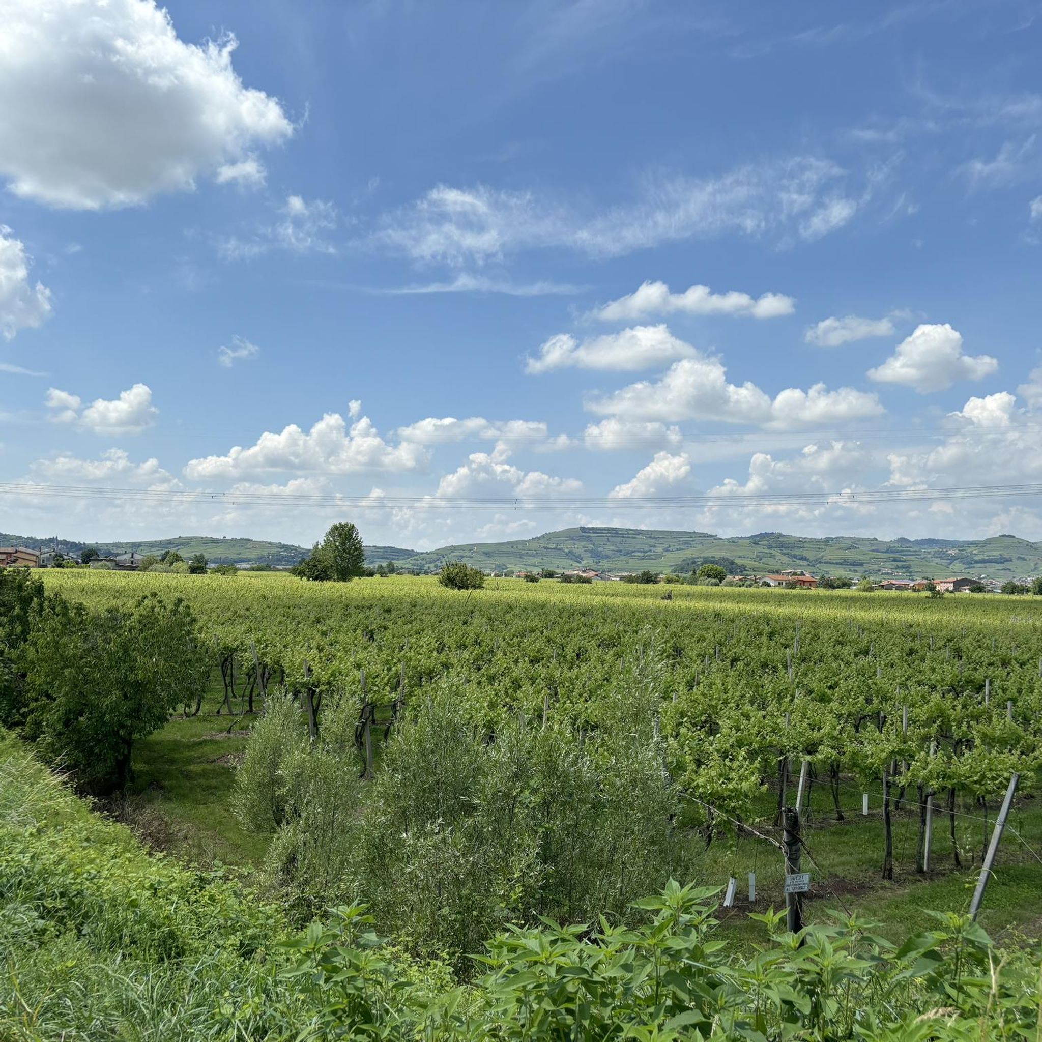
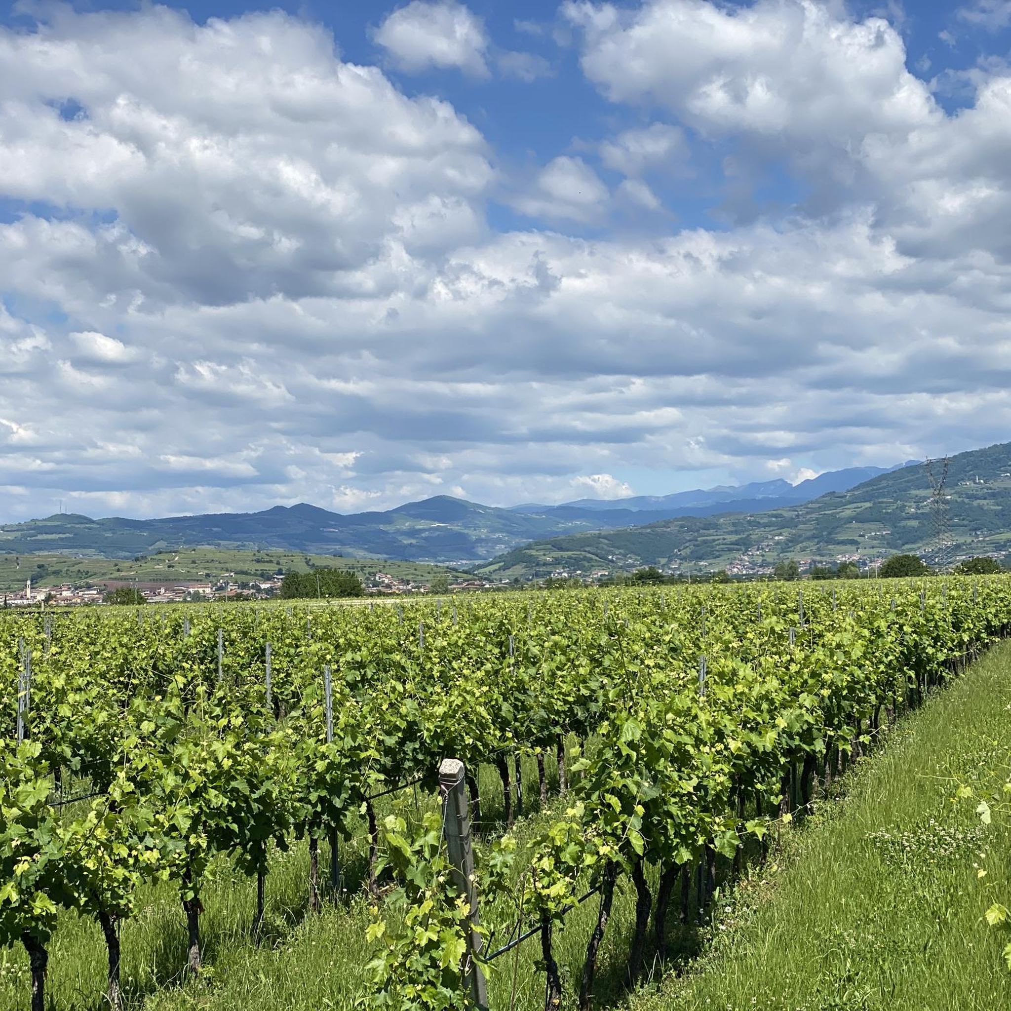
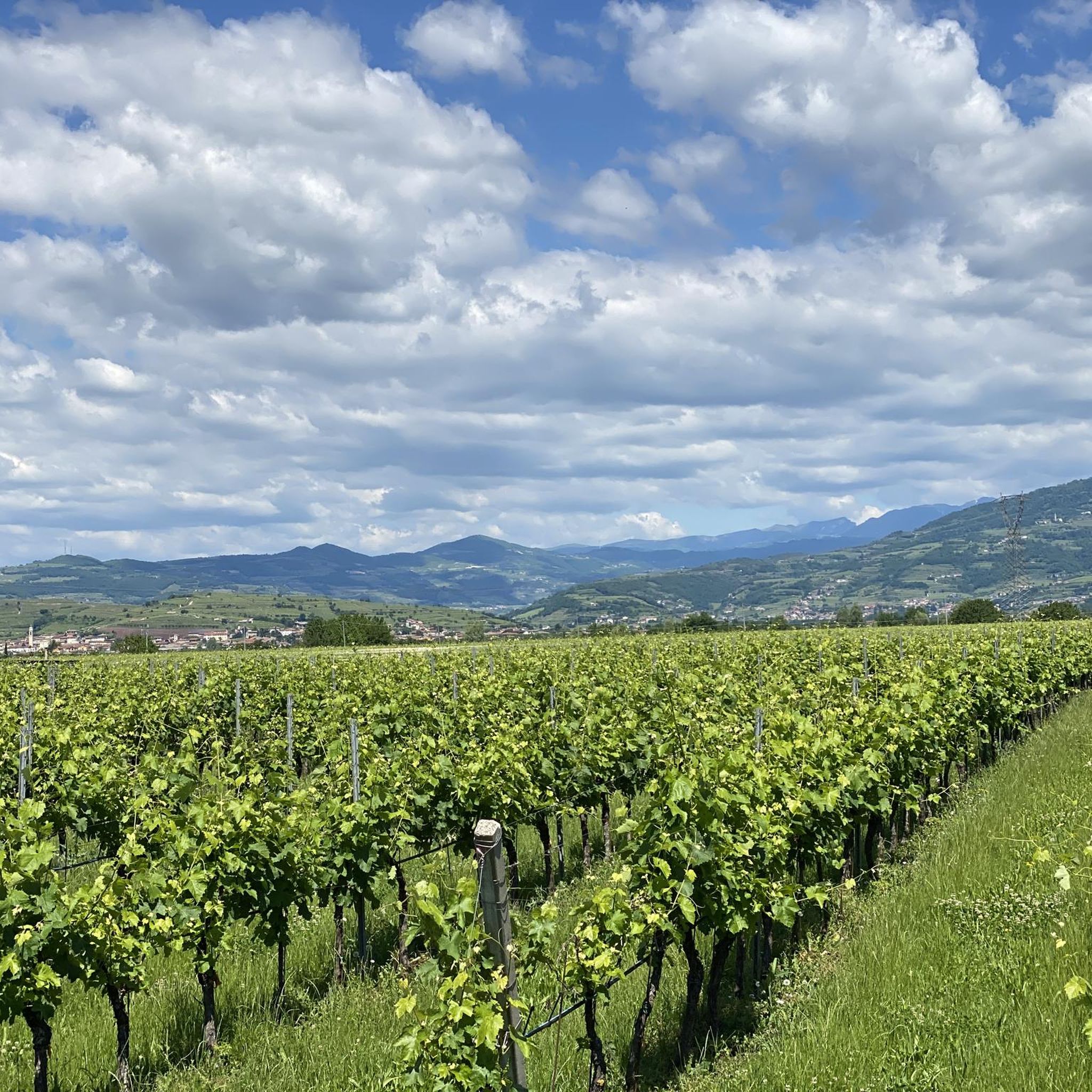


コミュニティからのヒント

A good source of water for drinking or cooling off.
0
0
Beautiful chapel on the way up the trail to Gambellara
1
0
Small church in front of a school and very close to a public parking lot with a charger for electric cars.
0
0
Very beautiful church with public parking in front
1
0


After the descent from the church of San Marcello for a short stretch the path may not be evident. Do not enter the vineyard, but follow the slope of the hill to the right for a few tens of meters until you reach the village of Via San Marcello.
1
0
ガンベッラーラでのの人気観光スポット

komootモバイルアプリでインスピレーションを得よう


さらに探索
他の地域の最高のハイキングを見てみましょう。
