ペデモンテのおすすめウォーキング&ハイキングルート
4.5
(8799)
41,462
ハイカー
17
ハイキング
ペデモンテ周辺でのハイキングは、景色を満喫するのに最適な手段のひとつですが、適切なハイキングルートを見つけることは簡単ではありません。 ペデモンテ周辺の人気ハイキング&ウォーキングコースを参考にすれば、行きたいルートをすぐに見つけられます。
最終更新日: 10月 10, 2026
5.0
(2)
14
ハイカー
8.03km
04:38
870m
870m
Hike the moderate Scalzeri di Pedemonte - Luserna Trail, covering 5.0 miles with 2854 feet of elevation gain, passing waterfalls and histori
16.7km
06:35
1,250m
1,250m
Alpine pass hike through Veneto mountains following historic CAI trails to Forcella Molon's sweeping views.

16.0km
06:23
1,240m
1,240m
Hike the challenging 9.9-mile Sentiero 569 from Val Rasa to Forcella Molon, gaining 4053 feet through forests and mountain pastures.
4.8
(11)
33
ハイカー
13.5km
06:22
990m
990m
難しいハイキング. 標準以上のフィットネスレベルが必要です。 全般的に進みやすいルートです。安定して歩行できる技術が必要です。
4.8
(11)
27
ハイカー
13.3km
06:10
980m
980m
難しいハイキング. 標準以上のフィットネスレベルが必要です。 全般的に進みやすいルートです。安定して歩行できる技術が必要です。
さらに多くのルートや他のユーザーのおすすめ情報を確認できます。
すでにアカウントをお持ちですか?
おすすめのツアーは他のkomootユーザーが実際に経験した何千ものアクティビティに基づいています。
無料アカウントで今日から始めよう
次の冒険が待っています。

コミュニティからのヒント

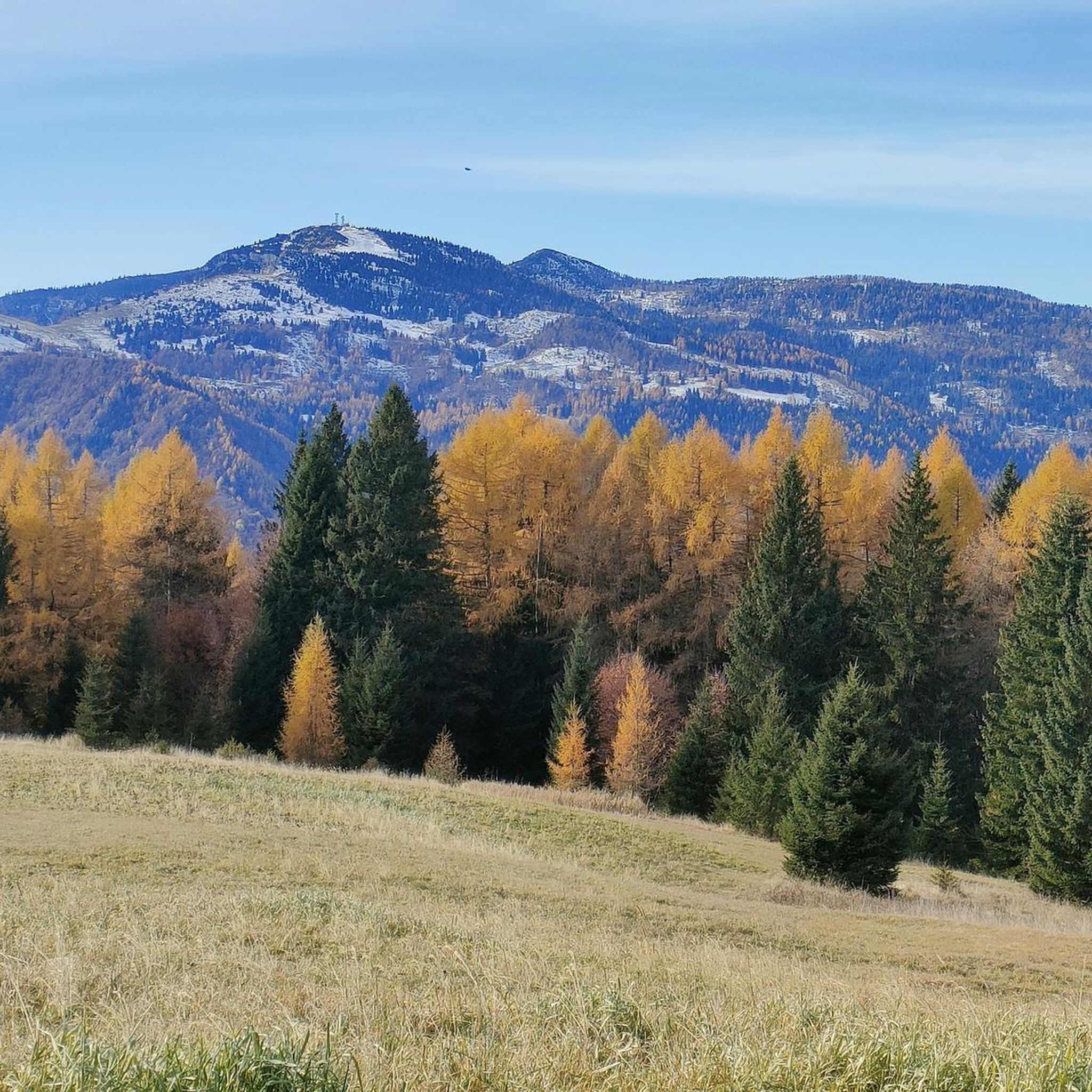
古ドイツ語に由来する言語であるキンブロ語が今も話されている、トレンティーノの小さな自治体
0
0

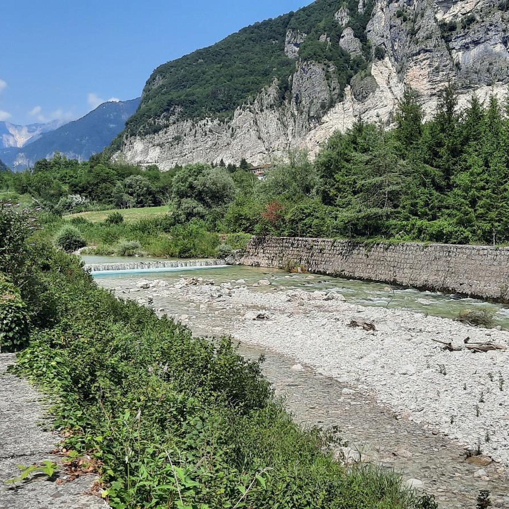
アスティコ川をラステバッセまで遡る
2
0

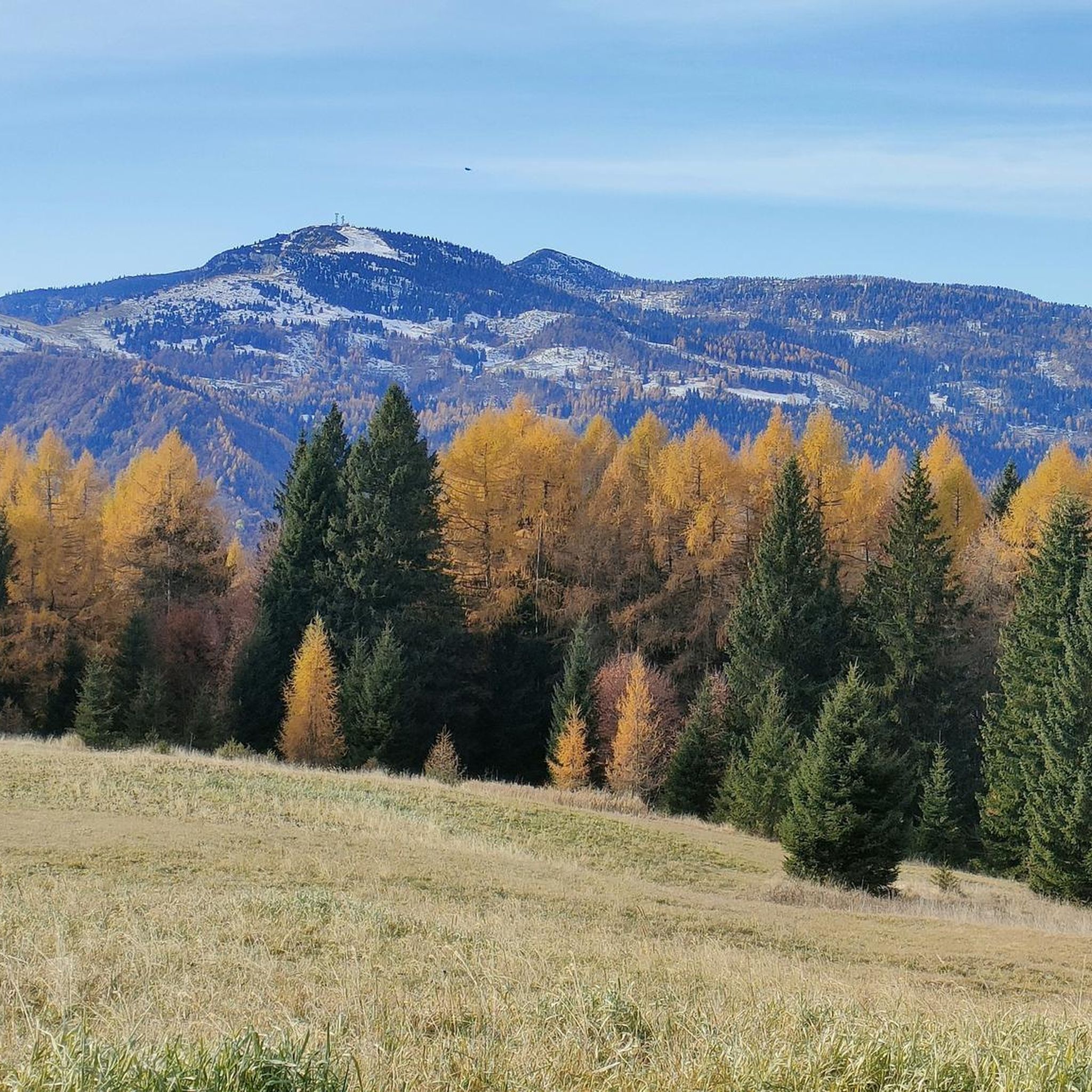
The sun copied the fence on the frosted road
0
0


A foaming and thunderous waterfall cascades from the spring known as 'Gorgo Santo' (which can be visited a little further along, climbing the trail —> see related highlight). The small bridge actually spans two waterfalls, one upstream and one downstream. I recommend descending to the paved road below, on the border between the hamlets of Scalzeri and Longhi, for a spectacular view of the stream cascading through a series of rapid drops before flowing into the Astico River. I also recommend visiting this site after days of rain or when the snow has melted in the mountains, to see the water swollen and rushing!
0
0

the Scalzeri di Pedemonte area is located at the foot of the Luserna plateau and borders the Astico, the Gorgosanto and the Grossa valley. The mountain behind it is deeply engraved by the Riosolo, Val Longa, Pissavacca and Val Grossa streams. There are numerous paths traced by the centuries-old presence of man
0
0
Crystalline water features, waterfalls and whirlpools generated by the stream that descends between the rocks of a wild forest. The orographic left of the Val d'Astico is dotted with more or less large valleys, dug by streams that descend from the Luserna karst plateau and streak its steep southern slope, generating spectacular rapids, gorges and whirlpools. The presence or absence of water depends on rainfall or snowfall: to find a good water flow, you need to visit the place in post-rain days.
0
0

komootモバイルアプリでインスピレーションを得よう


さらに探索
他の地域の最高のハイキングを見てみましょう。
