テラニョーロのおすすめランニングルート
4.5
(146)
7,496
ランナー
214
ランニング
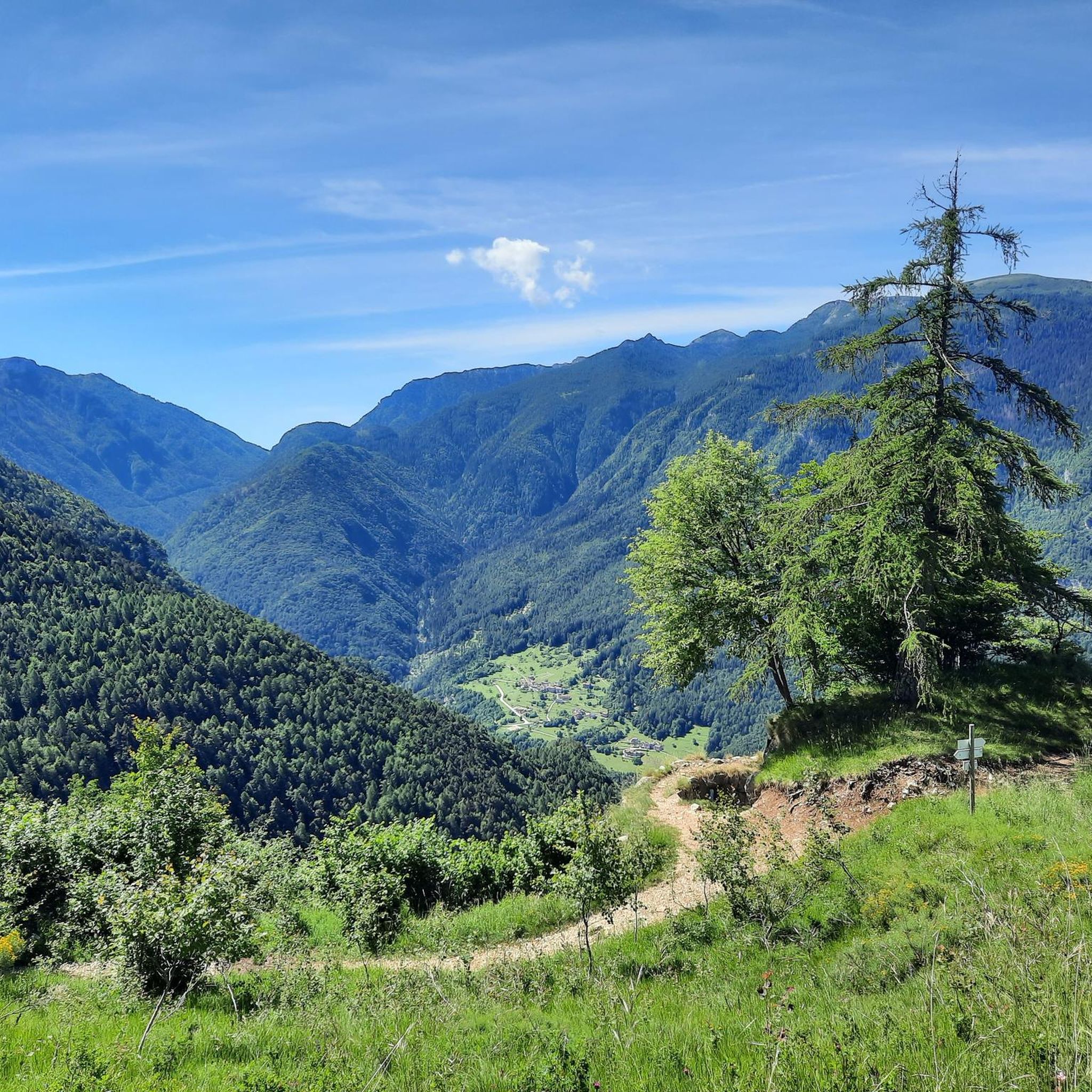
テッラニョーロ周辺のジョギングルートは、レノ・ディ・テッラニョーロ川によって形成された氷河堆積地形を巡り、石灰岩と段々畑が特徴です。ランナーはレノ川沿いの小道、鬱蒼とした森を抜け、フォルガリアとラヴァローネの高原まで続くルートをたどることができます。この地域は、谷底から山腹、マッジョ山やフィノンキオ山まで、多様な地形を提供し、様々なランニング体験が可能です。
テッラニョーロ周辺のベストジョギングルート
- 最も人気のあるジョギングルートは、ピアッツァ発のフォッラ・デル・ルポ・トレイルループです。この難易度の高い7.7kmのトレイルは、1時間25分で完了します。このルートは、第一次世界大戦の史跡と、テッラニョーロ渓谷のパノラマビューが楽しめる渓谷を探検します。
- 地元のランナーに人気のもう一つのルートは、フォルガリア発のフォルガリア – マソ・スピルツィループです。この中程度の難易度の6.0kmのルートは、フォルガリア近郊の高原を抜ける景色の良いランニングを提供します。
- 地元のランナーに愛されているのは、ラギ発のジェネラル・アキッレ・パパ・レフュージ – モン・パロンループです。この38.5kmのトレイルは、山岳地帯を通り抜け、通常約7時間34分で完了します。
- テッラニョーロ周辺のジョギングは、氷河堆積谷、鬱蒼とした森、第一次世界大戦の史跡によって特徴づけられます。広大なルートネットワークは、簡単な谷沿いのランから挑戦的な山岳登攀まで、様々なレベルのランナーに対応するオプションを提供します。
- テッラニョーロのルートは、komootコミュニティから高く評価されており、79件以上のレビューで平均4.7つ星を獲得しています。5000人以上のランナーがkomootを利用して、テッラニョーロの多様な地形を探検しています。
最終更新日: 9月 11, 2026
36
ランナー
10.4km
01:15
390m
390m
難しいジョギング. 標準以上のフィットネスレベルが必要です。 全般的に舗装された状態です。あらゆるスキルレベルに適しています。
5.0
(3)
27
ランナー
6.04km
00:40
130m
130m
中程度のジョギング. ある程度のフィットネスレベルが必要です。 全般的に舗装された状態です。あらゆるスキルレベルに適しています。

17
ランナー
28.0km
04:33
1,410m
1,410m
難しいジョギング. 標準以上のフィットネスレベルが必要です。 安定して歩行できる技術、丈夫な靴、高標高地での登山経験が必要です。
4.0
(1)
10
ランナー
8.18km
01:00
320m
320m
難しいジョギング. 標準以上のフィットネスレベルが必要です。 全般的に舗装された状態です。あらゆるスキルレベルに適しています。
12
ランナー
10.2km
01:54
840m
840m
難しいジョギング. 標準以上のフィットネスレベルが必要です。 安定して歩行できる技術、丈夫な靴、高標高地での登山経験が必要です。
さらに多くのルートや他のユーザーのおすすめ情報を確認できます。
すでにアカウントをお持ちですか?
おすすめのツアーは他のkomootユーザーが実際に経験した何千ものアクティビティに基づいています。
無料アカウントで今日から始めよう
次の冒険が待っています。


コミュニティからのヒント

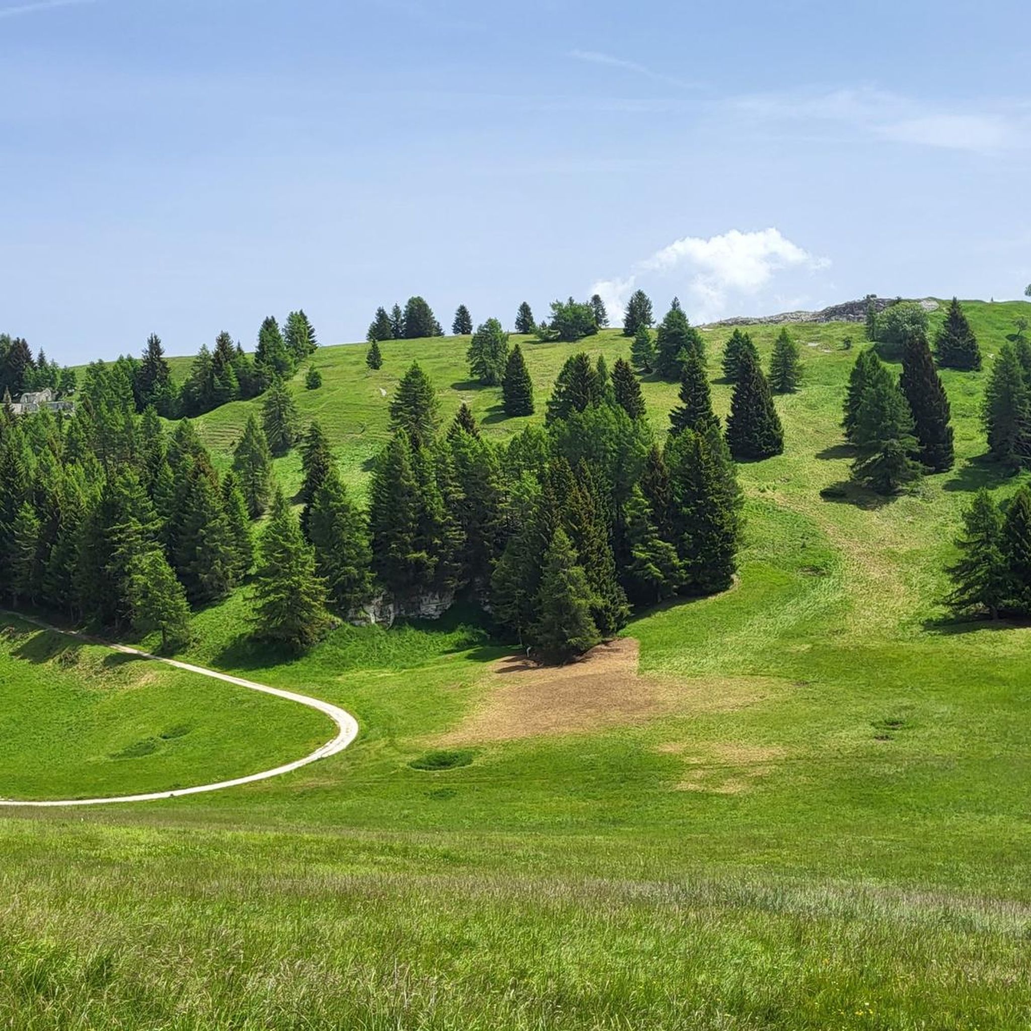
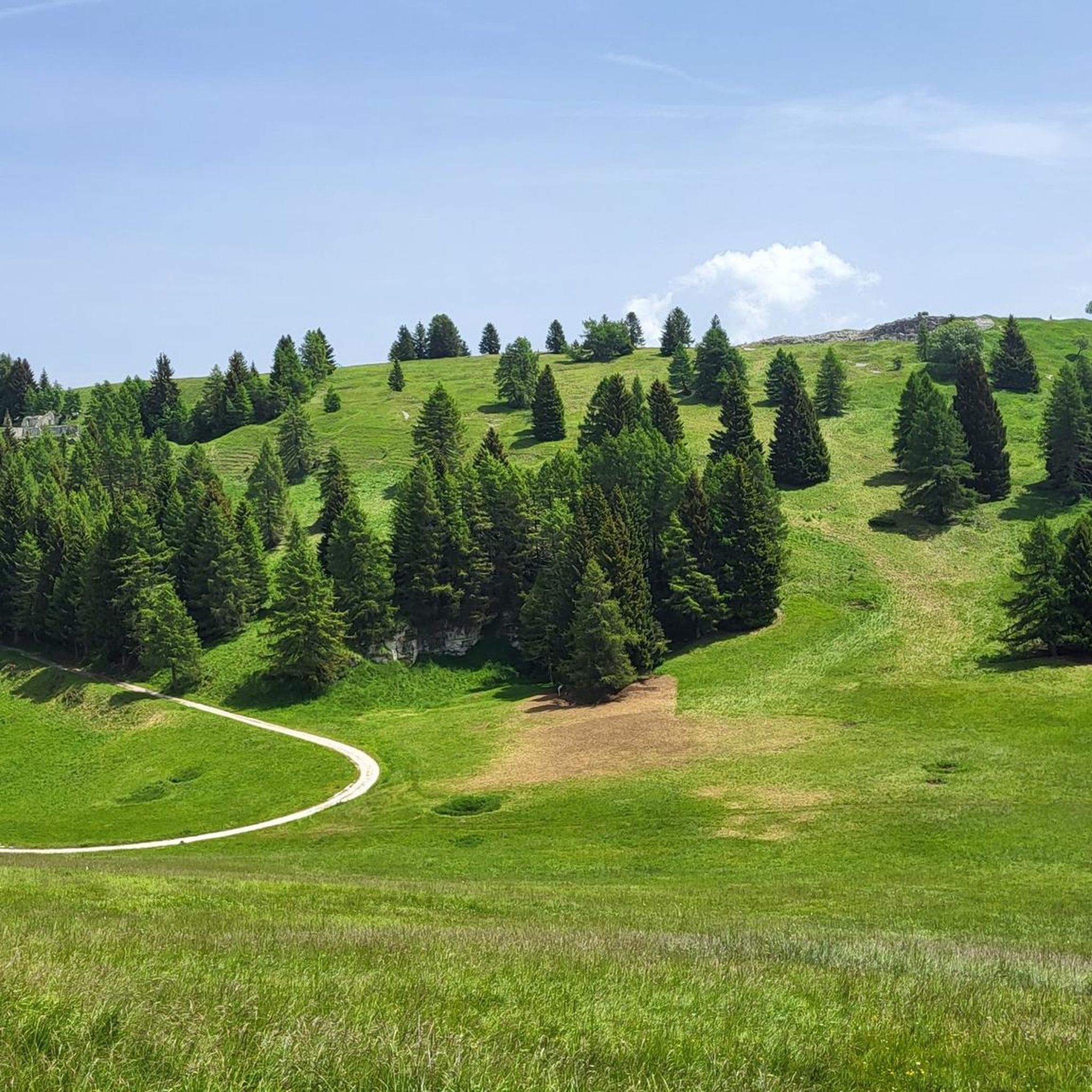
エネルギーを回復するための休憩に最適な居心地の良い避難所。美しい広大な牧草地にあります。ハイキングやe-bikeの出発点
0
0

Be very careful if you want to enter the underground tunnels.
0
0

Dente Italiano, immersed in the history of our country.
0
0

The first plans for the construction of a refuge on Pasubio date back to 1907. However, they were not realized until after the First World War, when the Schio section of the CAI began to build a refuge in memory of the soldiers who had fallen on Pasubio. Source: https://de.m.wikipedia.org/wiki/Rifugio_Achille_Papa
8
0

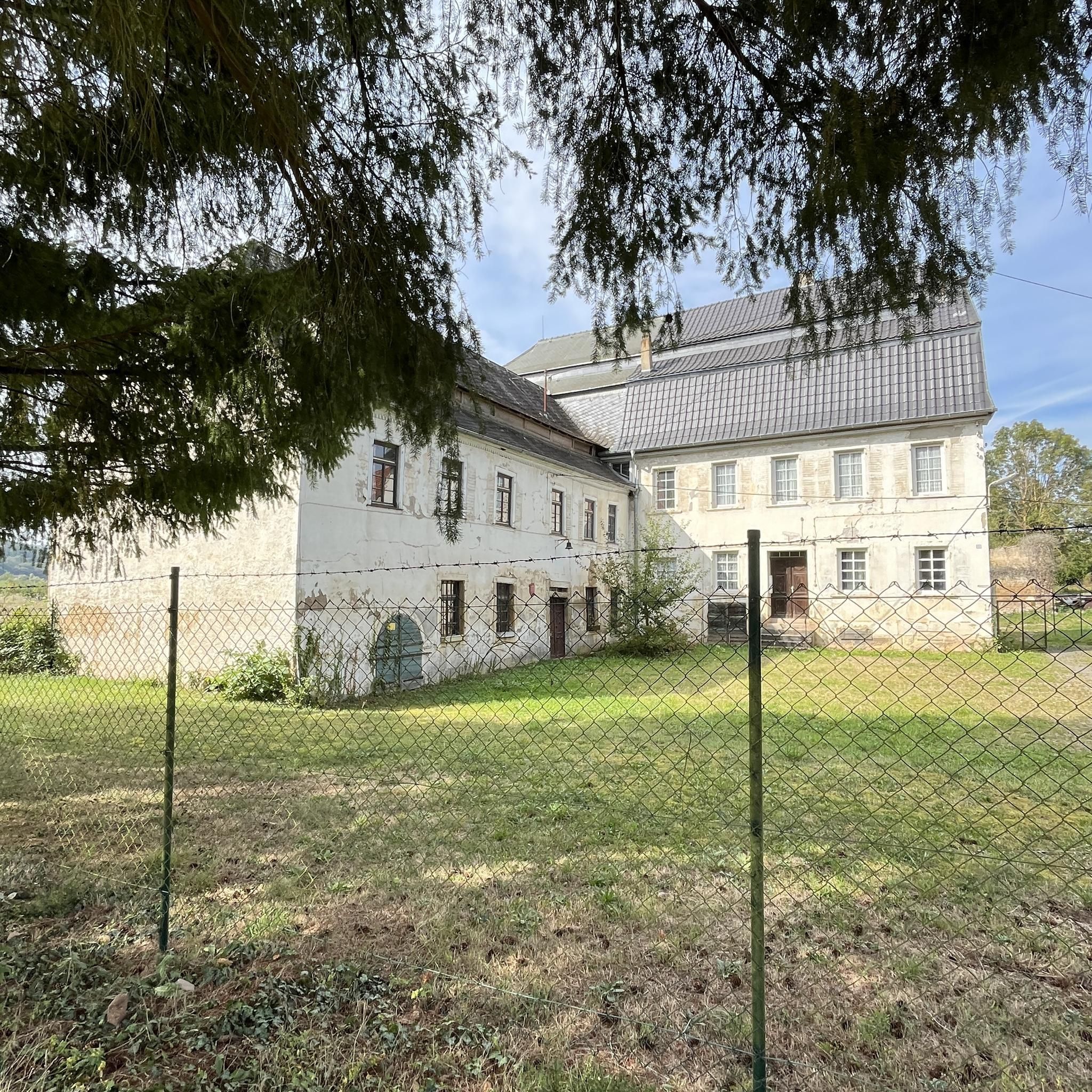
The refuge is closed and abandoned, left in a state of total neglect. A great shame, it would have been an excellent refreshment point after a nice walk
1
0

The refuge is now (February 2025) permanently closed, in a state of abandonment. We hope a new management can revive it.
4
0

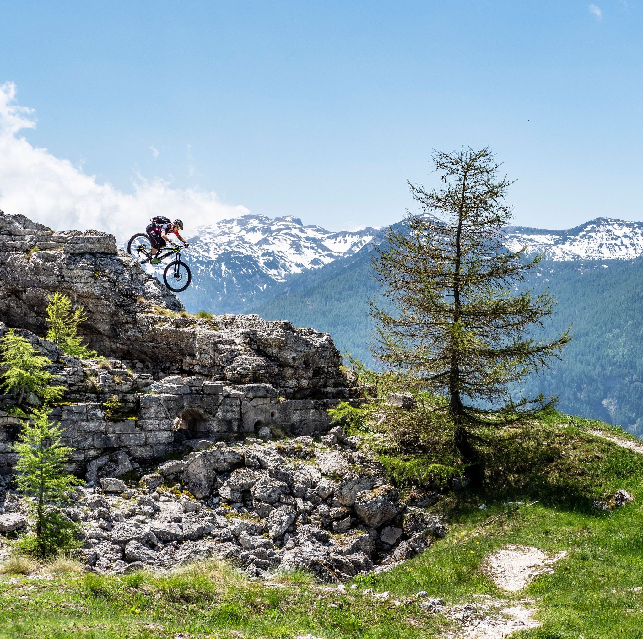
The Dente Italiano and the Dente Austriaco are two rocky towers of equal altitude facing each other, separated by a saddle but sadly united by history: during the First World War, they were the point on Pasubio where enemy lines were closest. With the Strafexpedition of 1916, the imperial army reached the Dente Austriaco, but was blocked by royal troops who had arrived on the Dente Italiano. A grueling and bloody standoff began, with several attempts to break through, all in vain. The impending winter prevented further fighting, and both sides began to fortify their positions and make them more livable... In the Dente Italiano, the Army Corps of Engineers created a veritable underground citadel. It could accommodate 500 men, with all the necessary means of subsistence: shelters, storage facilities, a cistern for drinking water, a generator for lighting, dressing stations, and command posts. The armament consisted of five machine guns, two cannons, and one flamethrower, supported by artillery from the nearby Palon and Cogolo Alto peaks. In contrast, the Austrian Tooth was transformed into an impregnable fortress, thanks to its elongated, square shape, with fire on three sides. There were 10 machine gun emplacements and six artillery emplacements in the cave, complemented by the armament arrayed along the trenches at the summit: 18 grenade launchers, 12 grenade launchers, four flamethrowers, five cannons, and 10 machine guns. Here, too, the bowels of the mountain housed the troops with all the logistical and survival equipment: shelters, storage facilities, lighting, ventilation, a cistern, a telephone exchange, searchlights, etc. Faced with the impossibility of advancing, both commands believed the only solution was to blow up the enemy stronghold from the ground up: thus began the war of mines and countermines, with a dense network of underground tunnels. Between the autumn of 1917 and the spring of 1918, there were 10 explosions, five Austrian and five Italian, until the gigantic 50-ton Austrian dynamite charge on March 13, 1918, which shattered the northern slope of the Dente Italiano, altering its morphology and causing casualties on both sides. After years of war and thousands of deaths, the great war on Pasubio ended with the front line virtually unchanged! To pass between the two Denti, one passes through the chasm created by the mine, amidst enormous boulders and debris: impressive.
0
0
よくある質問
テラニョーロには、ランニングルートがいくつありますか?
テラニョーロには、150以上のトレイルがあり、ランニングルートが豊富に用意されています。これらのルートは、谷沿いの簡単なランから挑戦的な山岳登攀まで、様々なスキルレベルに対応しています。
テラニョーロでのランニングのユニークな点は何ですか?
テラニョーロでのランニングは、レノ・ディ・テラニョーロ川によって形成されたユニークな河川氷河地形のおかげで、特別な体験となります。石灰岩、古代の段々畑、鬱蒼とした森を横切り、フォルガリアやラヴァローネのような高台へと登っていくことになります。この地域には第一次世界大戦の史跡も多く、ランニングに豊かな文化的な次元を加えています。
テラニョーロのトレイルについて、他のランナーはどのように言っていますか?
テラニョーロのランニングルートは、komootコミュニティから高く評価されており、79件以上のレビューから平均4.7つ星という素晴らしい評価を得ています。ランナーは、変化に富んだ地形、谷の美しい景観、そして多くのトレイルの歴史的重要性について頻繁に称賛しています。
テラニョーロには、初心者向けの簡単なジョギングルートはありますか?
はい、テラニョーロには、初心者やより楽なランニングを楽しみたい方に最適な、いくつかの簡単なジョギングルートがあります。ほとんどのトレイルは中級から上級ですが、簡単な分類のルートが少なくとも10件あります。これらは谷底に沿った道や、森の中の比較的楽な小道であることが多いです。
テラニョーロエリアには、挑戦的な長距離ランニングトレイルはありますか?
もちろんです。経験豊富なランナーで挑戦を求めている方のために、テラニョーロには数多くの難易度の高い長距離オプションがあります。特筆すべき例としては、ラギから出発するアキッレ・パパ将軍避難小屋 – モンテ・パロン周回コースがあり、これは約7.5時間を要する厳しい38.5kmのトレイルで、山岳地帯を通過します。
テラニョーロには、周回ランニングルートはありますか?
はい、テラニョーロのランニングルートの多くはループ状に設計されており、便利な出発点と終着点を提供します。例えば、人気のフォッラ・デル・ルポトレイル(ピアッツァ発)は、歴史的な第一次世界大戦の史跡と景色の良い渓谷を巡る7.7kmの周回ルートです。
テラニョーロでジョギング中に、どのような自然景観に出会えますか?
テラニョーロをジョギングで巡ると、多様な自然景観に出会えます。レノ川沿いを走ったり、鬱蒼とした森を抜けたり、段々畑を横切ったりすることが予想されます。トレイルはまた、より高い高原へと続き、モンテ・マッジョやモンテ・フィノンキオのような周囲の山々の景色を提供し、日陰と日当たりの良い小道の両方を楽しめます。
ランニングトレイル沿いには、史跡やランドマークはありますか?
テラニョーロは歴史が豊かで、特に第一次世界大戦に関連する史跡が多くあります。多くのランニングトレイルには史跡が含まれています。例えば、フォッラ・デル・ルポトレイルでは第一次世界大戦の史跡を巡ることができます。また、様々なルートからアクセス可能なアキッレ・パパ将軍避難小屋、フォンテ・ドッソ・デッレ・ソンメ、フォート・ベルヴェデーレ・グシュヴェントのようなハイライトも見つけることができます。
テラニョーロには、眺めの良いトレイルはありますか?
もちろんです。コル・サント・パスウビオとフィノンキオ山、マッジョ山の間に位置するテラニョーロでは、多くのトレイルから息をのむようなパノラマビューを楽しめます。特に標高を上げるにつれて、テラニョーロ渓谷や雄大なパスウビオ山塊の景色が広がります。
テラニョーロのランニングルートは、家族連れや子供連れに適していますか?
一部のルートは挑戦的ですが、テラニョーロには家族連れや子供連れに適したトレイルがあります。特に、この地域で「簡単な散歩」とされているルートです。これらの比較的楽な小道は、谷底や整備された森林のトレイルを通り、あらゆる年齢層に快適なアウトドア体験を提供します。
テラニョーロには、犬と一緒に走れるトレイルはありますか?
テラニョーロの森の中や川沿いの自然なトレイルの多くは、一般的に犬同伴で走ることができ、愛犬と一緒にランニングを楽しむことができます。野生動物がいる場所や農地に近い場所では、特にリードにつないでおくことをお勧めします。また、特定のトレイルに関する地域の規制を確認することも重要です。
テラニョーロでジョギングするのに最適な時期はいつですか?
テラニョーロでのジョギングに最適な時期は、通常、春から秋にかけてです。これらの季節は気候が穏やかで、自然の景観が鮮やかになります。春には花が咲き、秋には見事な紅葉が楽しめます。夏も人気がありますが、標高の高い場所は涼しい気温を提供します。冬のジョギングも可能ですが、特に山道では雪や氷に対応した適切な装備が必要になる場合があります。
テラニョーロのランニングトレイルの近くに、食事や宿泊施設はありますか?
はい、テラニョーロには数多くの小さな集落があり、宿泊施設や地元の飲食店があります。谷の中にはカフェ、パブ、宿泊施設があり、ランニング後にリフレッシュしたり休憩したりするのに便利な場所が見つかります。地元のサービスに関する詳細情報については、公式のVisit Trentinoウェブサイトが役立つかもしれません。

komootモバイルアプリでインスピレーションを得よう


さらに探索
他の地域の最高のランニングトレイル & ルートを見てみましょう。
