シャアルビーのおすすめウォーキング&ハイキングルート
4.4
(196)
671
ハイカー
47
ハイキング
シャアルビー周辺でのハイキングは、景色を満喫するのに最適な手段のひとつですが、適切なハイキングルートを見つけることは簡単ではありません。 シャアルビー周辺の人気ハイキング&ウォーキングコースを参考にすれば、行きたいルートをすぐに見つけられます。
最終更新日: 9月 13, 2026
4.6
(17)
48
ハイカー
9.44km
02:27
50m
50m
中程度のハイキング. ある程度のフィットネスレベルが必要です。 進みやすいルートです。あらゆるスキルレベルに適しています。
4.7
(22)
57
ハイカー
5.65km
01:29
40m
40m
初級者向けハイキング. あらゆるフィットネスレベルに適しています。 進みやすいルートです。あらゆるスキルレベルに適しています。

4.8
(13)
42
ハイカー
4.97km
01:18
30m
30m
初級者向けハイキング. あらゆるフィットネスレベルに適しています。 進みやすいルートです。あらゆるスキルレベルに適しています。
4.8
(16)
47
ハイカー
7.60km
01:58
40m
40m
初級者向けハイキング. あらゆるフィットネスレベルに適しています。 進みやすいルートです。あらゆるスキルレベルに適しています。
4.8
(8)
20
ハイカー
21.8km
05:37
110m
110m
難しいハイキング. 標準以上のフィットネスレベルが必要です。 進みやすいルートです。あらゆるスキルレベルに適しています。
さらに多くのルートや他のユーザーのおすすめ情報を確認できます。
すでにアカウントをお持ちですか?
おすすめのツアーは他のkomootユーザーが実際に経験した何千ものアクティビティに基づいています。
無料アカウントで今日から始めよう
次の冒険が待っています。
シャアルビー周辺で人気
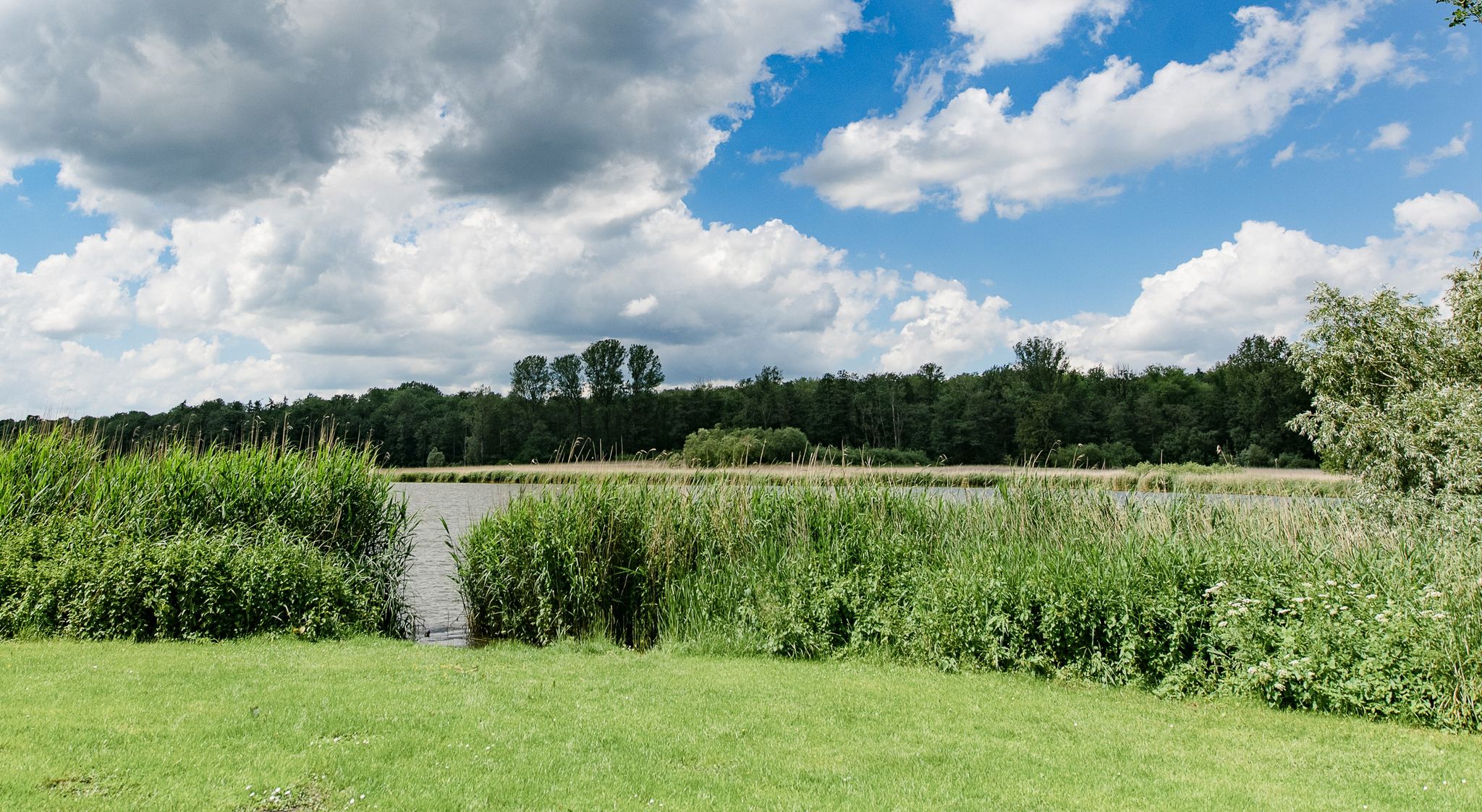
Following in the footsteps of the Vikings – hiking around Schleswig
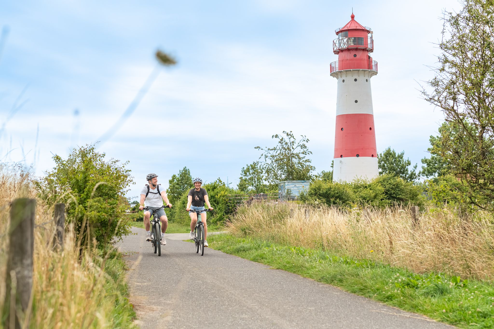
Between the coast and the interior: superb cycling on the Schlei
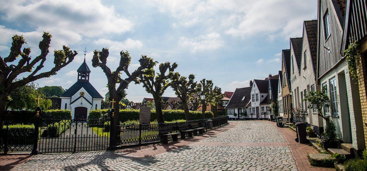
ミニ自転車旅行地区 シュレースヴィヒ
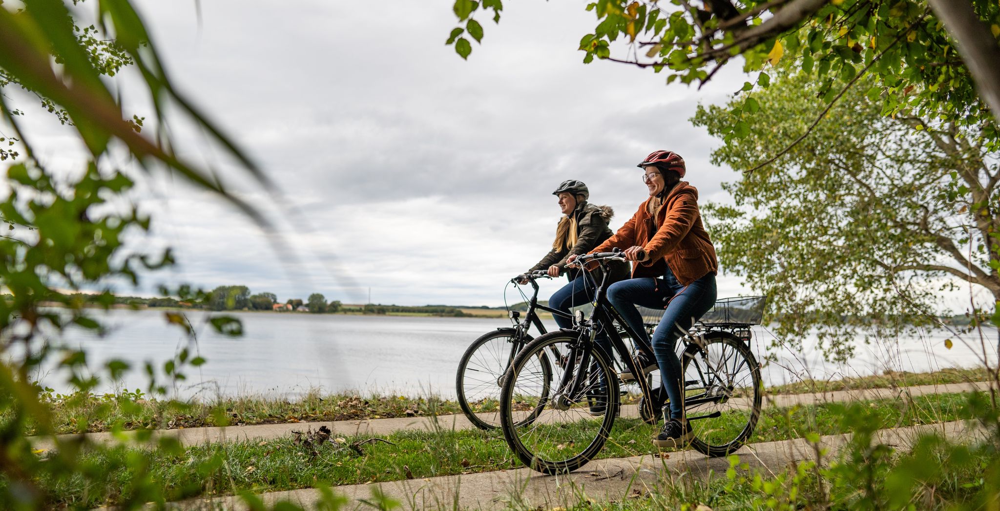
Cycling in Germany’s northern Binnenland – cycle paths through flat landscapes
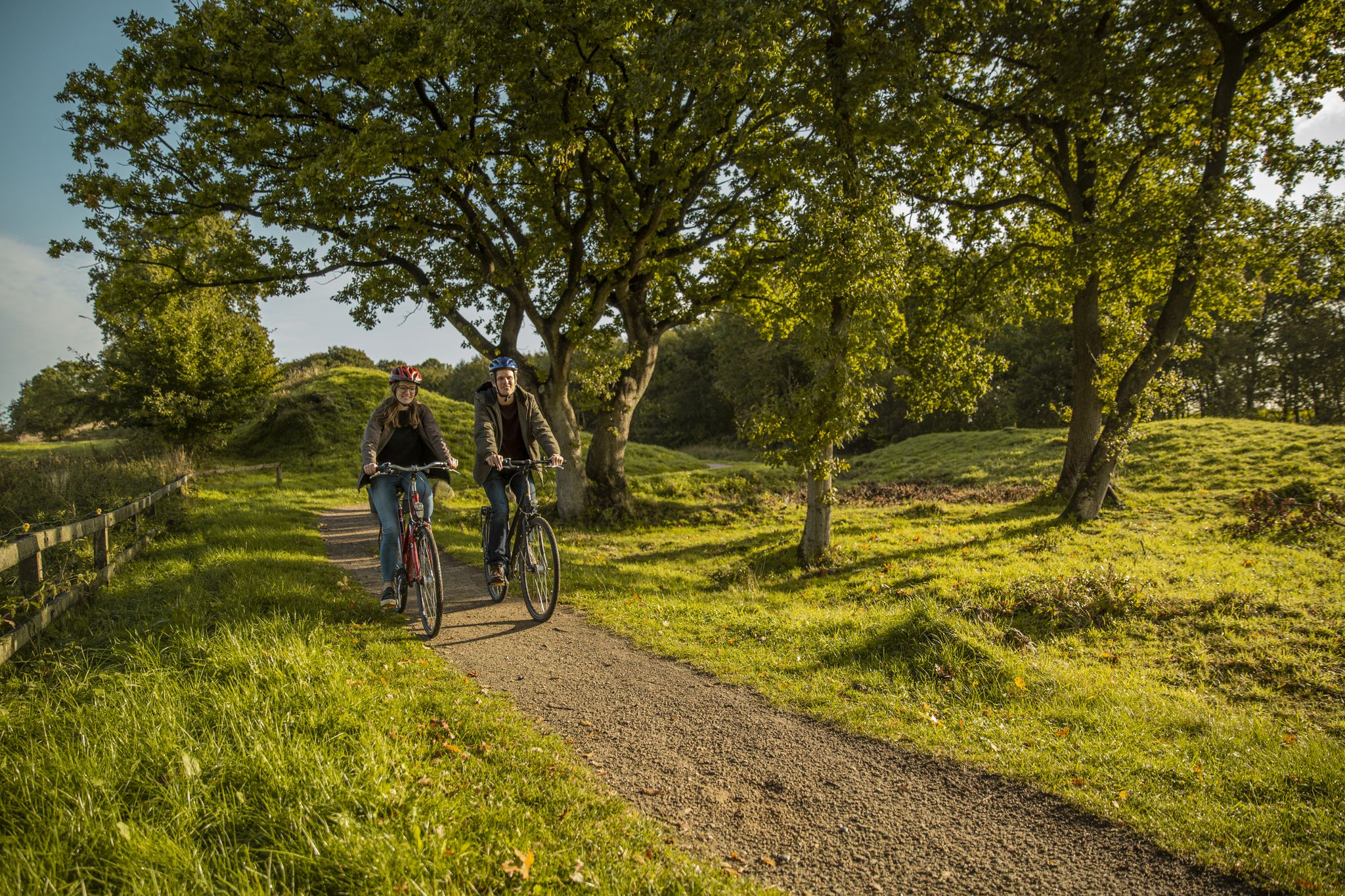
Culture, nature and Vikings – cycling on the Baltic Sea fjord Schlei
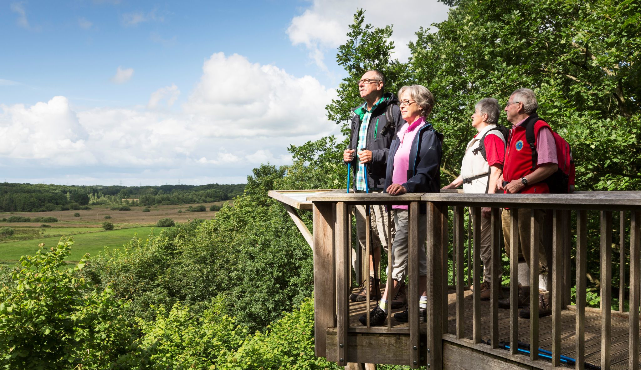
Wandern im Grünen Binnenland
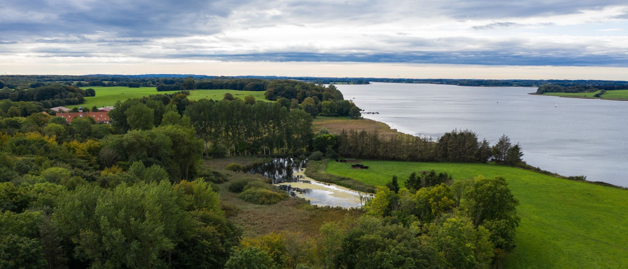
Wandern an der Schlei
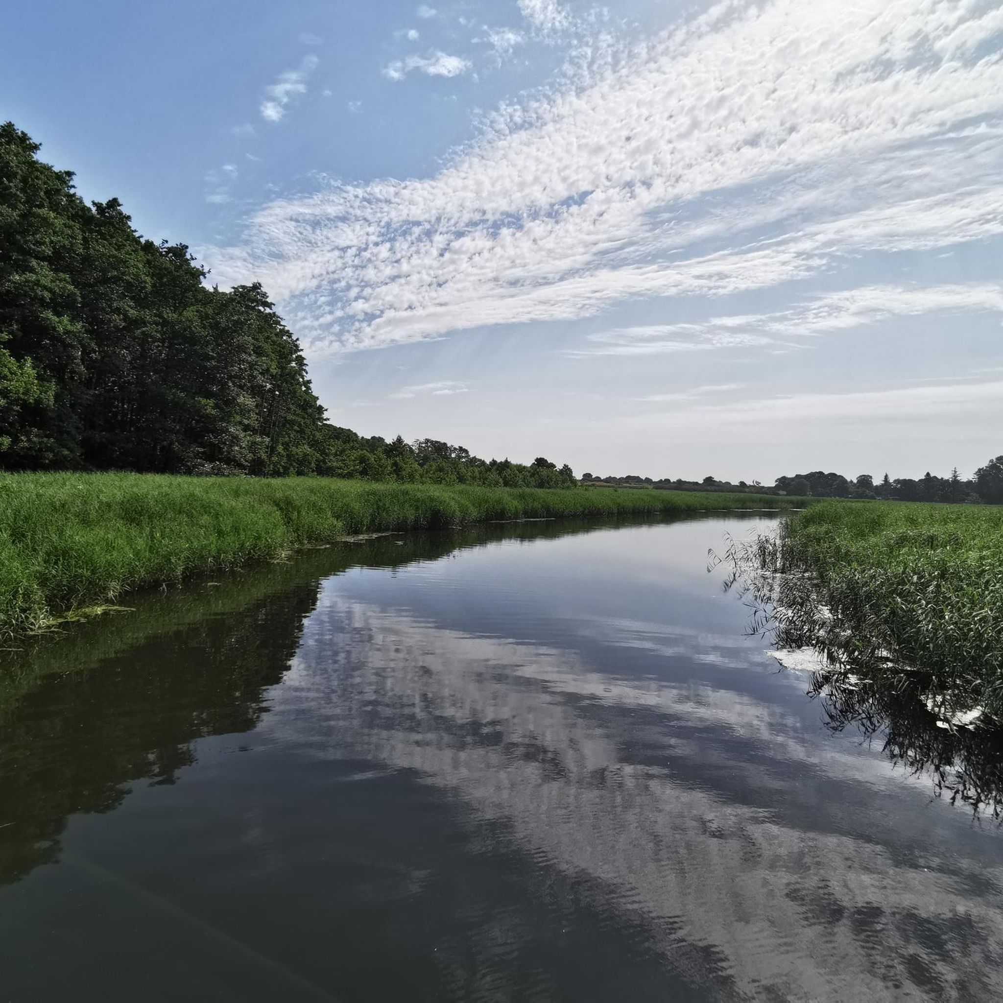
シャアルビーでのサイクリング
シャアルビーのロードバイクルート
シャアルビーのMTBトレイル
シャアルビーでのの他の冒険


コミュニティからのヒント

The Kahleby Spring is not a "silver spring" in the sense of mineral water, as in Silberquell, but rather a spring near Kahleby, located 200 meters north of the church. It is not considered a drinking water source, but rather is fed from a crevice in a field. The spring is a point on the "Kahleby Spring Loop" from Taarstedt.
0
0


The Loiter Au is a river in the Angeln region in the Schleswig-Flensburg district in Schleswig-Holstein. At the source of the river, the Kreuzau in Brebelholz, the Oxbek and the Wellspanger Au flow together. The river flows through the villages of Loit and Scholderup, where there are moorings for canoeists. ...
1
0

The church is special, especially because there are hardly any houses around it.
1
0

Beautiful church and well-kept cemetery
1
0

Natural bathing area Winningmay, small bathing area with view of the Kleine Breite from the Schlei
4
0

The Reesholm peninsula took on its current shape during the last Weichselian glaciation, when a wide tongue of ice advanced to the western end of the Schlei basin. This is how the Schlei channel was formed in the post-glacial period. The higher part of Reesholm remained as a flat moraine ridge. Since 1976, Reesholm and the island of Hestholm in the Große Breite have been designated a nature reserve with the code number 87, covering 120 hectares. Large parts of the meadowland on Reesholm are only just half a meter above sea level and are therefore exposed to flooding. This is how a botanically valuable salt marsh landscape developed. Sand hooks are forming at the southern tip, which are caused by coastal collapse on the steep bank on the west coast of the peninsula, which is three meters above sea level.
3
0

Unfortunately, the church is currently closed due to the risk of collapse 😲😢 https://www.shz.de/lokales/gluecksburg-angeln/artikel/st-marien-kirche-in-schaalby-ist-einsturzgefaehrdet-46930131
1
0
シャアルビーでのの人気観光スポット

komootモバイルアプリでインスピレーションを得よう


さらに探索
他の地域の最高のハイキングを見てみましょう。
