ヒュースビーのおすすめウォーキング&ハイキングルート
4.5
(3790)
13,855
ハイカー
604
ハイキング
ヒュースビー周辺でのハイキングは、景色を満喫するのに最適な手段のひとつですが、適切なハイキングルートを見つけることは簡単ではありません。 ヒュースビー周辺の人気ハイキング&ウォーキングコースを参考にすれば、行きたいルートをすぐに見つけられます。
最終更新日: 10月 10, 2026

4.6
(25)
101
ハイカー
10.9km
02:45
30m
30m
中程度のハイキング. ある程度のフィットネスレベルが必要です。 進みやすいルートです。あらゆるスキルレベルに適しています。
5.0
(3)
15
ハイカー
3.62km
00:56
20m
20m
初級者向けハイキング. あらゆるフィットネスレベルに適しています。 進みやすいルートです。あらゆるスキルレベルに適しています。

初級者向けハイキング. あらゆるフィットネスレベルに適しています。 進みやすいルートです。あらゆるスキルレベルに適しています。
4.4
(45)
165
ハイカー
3.67km
00:56
10m
10m
初級者向けハイキング. あらゆるフィットネスレベルに適しています。 進みやすいルートです。あらゆるスキルレベルに適しています。
4.9
(15)
69
ハイカー
7.46km
01:57
60m
60m
初級者向けハイキング. あらゆるフィットネスレベルに適しています。 進みやすいルートです。あらゆるスキルレベルに適しています。
さらに多くのルートや他のユーザーのおすすめ情報を確認できます。
すでにアカウントをお持ちですか?
おすすめのツアーは他のkomootユーザーが実際に経験した何千ものアクティビティに基づいています。
無料アカウントで今日から始めよう
次の冒険が待っています。
コミュニティからのヒント

Schanze 14は、特に有名で現在再建されているダネワークの要塞です。1864年のデンマーク・ドイツ戦争中にデンマーク人によって建設されましたが、オーストリア軍に支援されたドイツ軍に対する敗北を防ぐことはできませんでした。
0
0

一流の彫刻公園をぜひとも静かに楽しんでください... 外でくつろぐよう誘われます....
0
0

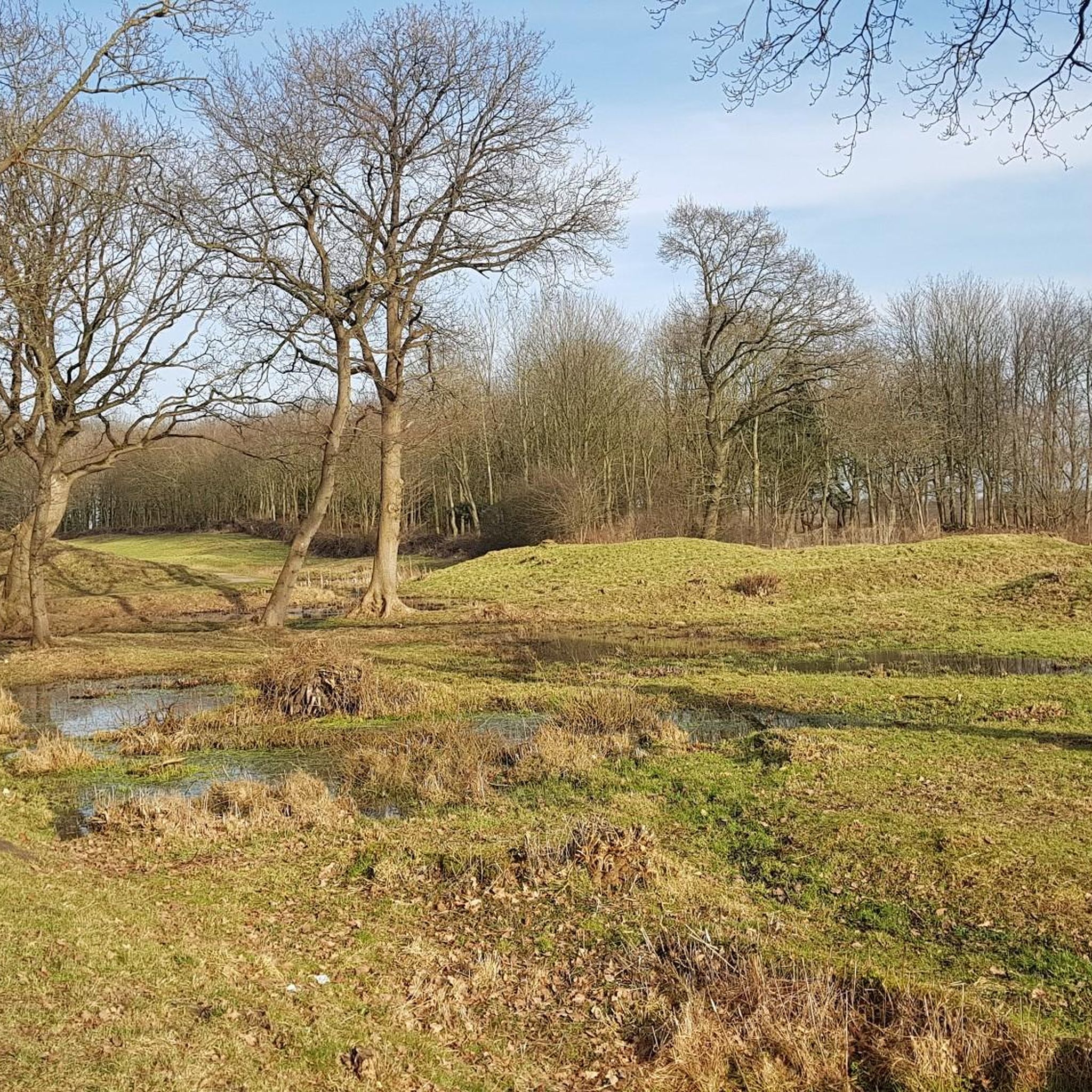
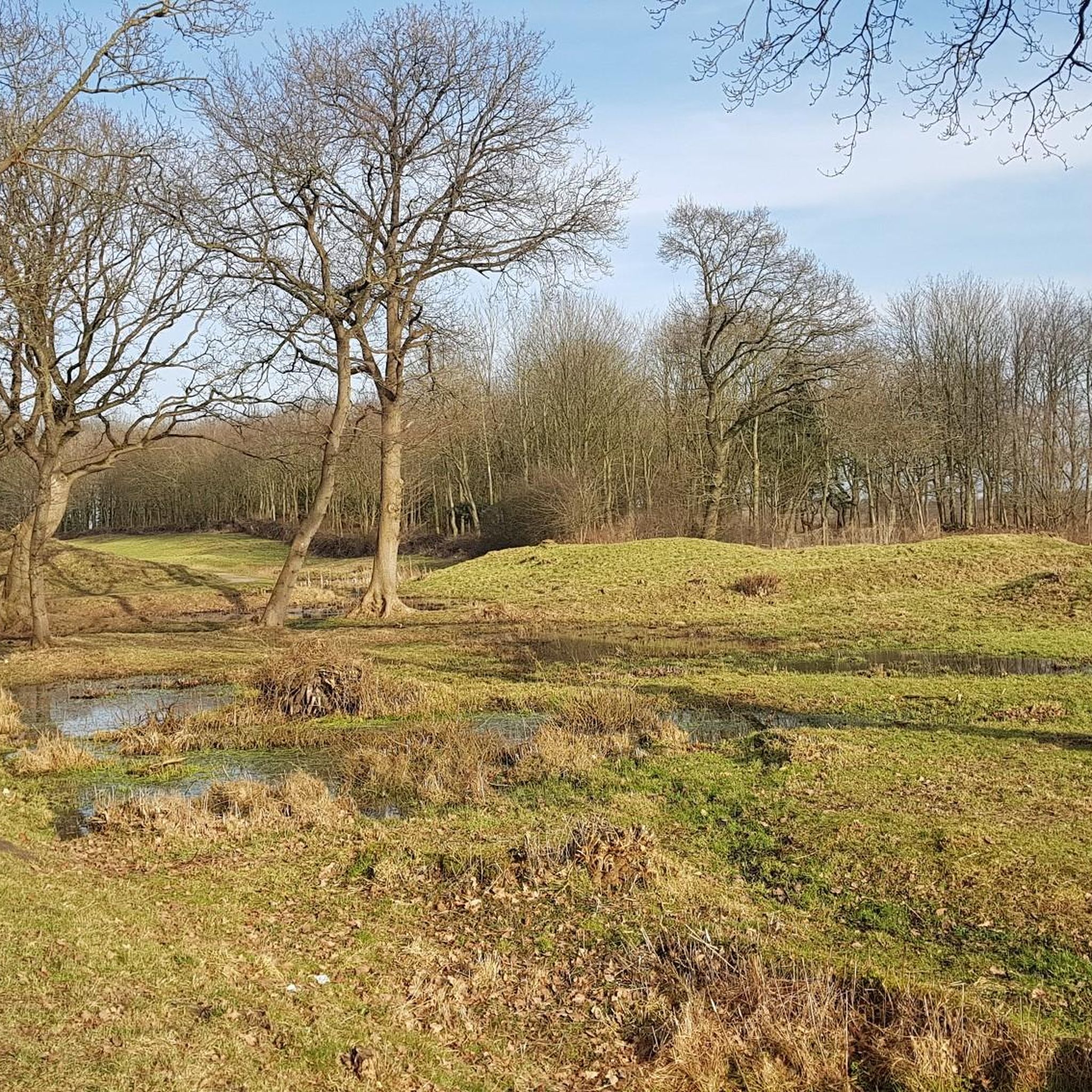
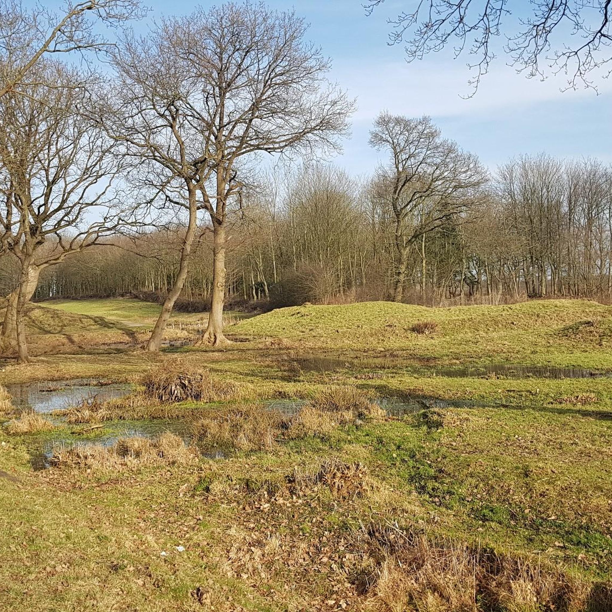
古い城壁、湿地、貴重な生息地の間に、この自然遊歩道は、ダネヴェルクの歴史がダネヴェルカー湖周辺の景観といかに密接に結びついているかを示しています。
0
0
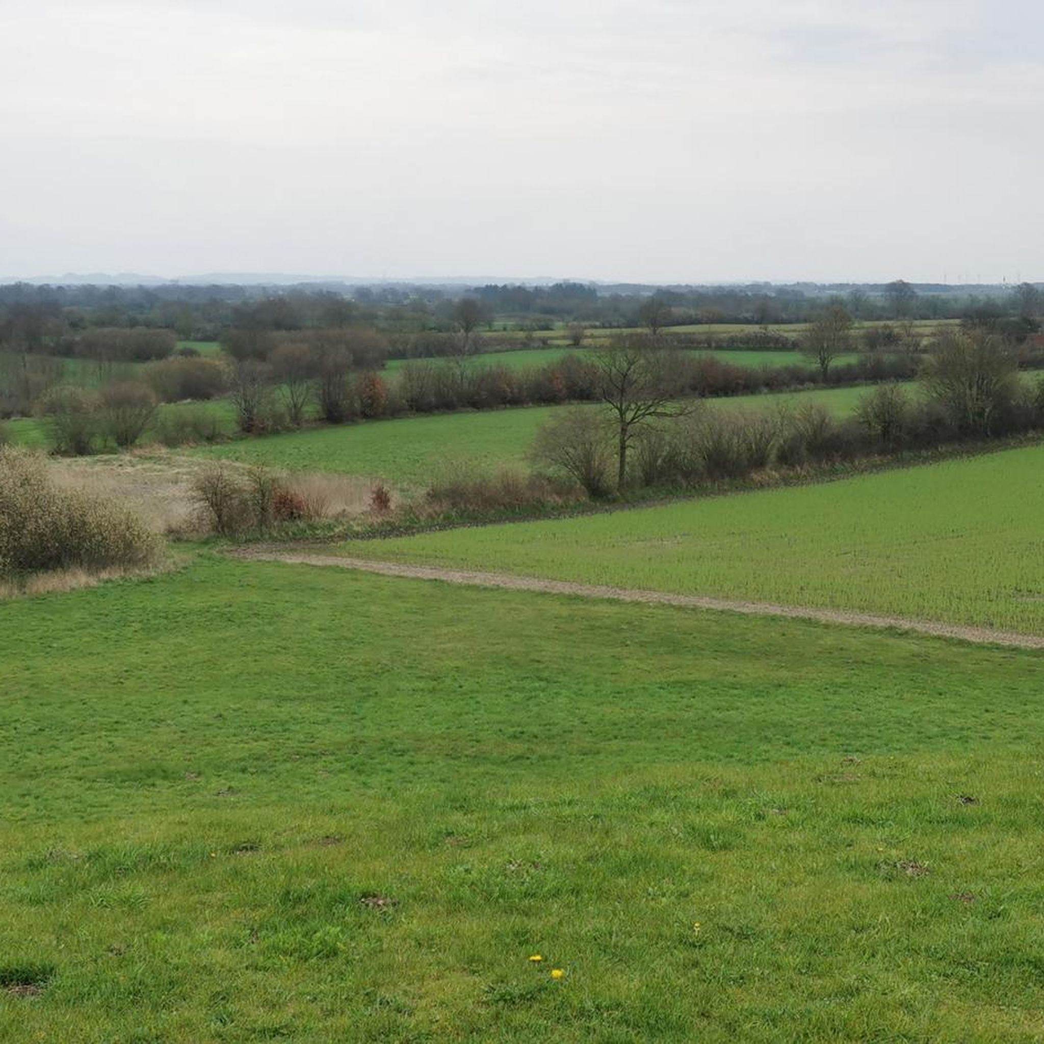
ダンネヴェルカー湖では、この土地がかつて強大なダネヴィルクの一部であったことを知ることができます。情報標識は、かつての湖の歴史と、バイキング時代の最も重要な交易センターの1つを守る上で湿地帯が果たした役割についての興味深い洞察を提供します。
0
0
「Knicks und Alt-Bäume」(生垣と古い木)という情報標識では、シュレースヴィヒ=ホルシュタイン州特有の生垣や古い木が、キツツキ、昆虫、その他多くの種にとってなぜ貴重な生息地となっているのかを学ぶことができます。ダンネヴェルク湖周辺の自然景観と文化景観をより深く知るための、興味深い立ち寄り場所です。
0
0

Numerous works of art adorn the garden of Gottorf Castle, here "Biga" by Hans Wimmer
1
0
A beautiful lake surrounded by reeds, which, together with the Schlei estuary, encircles Gottorf Castle.
3
0
On the lowest terrace of the Baroque garden is the beautiful Hercules Pond... from it rises the beautifully designed sculpture of Hercules, who swings a club
2
0
ヒュースビーでのの人気観光スポット

komootモバイルアプリでインスピレーションを得よう


さらに探索
他の地域の最高のハイキングを見てみましょう。
