ポンテディレグノのおすすめウォーキング&ハイキングルート
4.5
(1357)
11,377
ハイカー
165
ハイキング
ポンテディレグノ周辺でのハイキングは、景色を満喫するのに最適な手段のひとつですが、適切なハイキングルートを見つけることは簡単ではありません。 ポンテディレグノ周辺の人気ハイキング&ウォーキングコースを参考にすれば、行きたいルートをすぐに見つけられます。
最終更新日: 8月 30, 2026
4.7
(39)
688
ハイカー
7.69km
03:28
590m
590m
難しいハイキング. ある程度のフィットネスレベルが必要です。 安定して歩行できる技術、丈夫な靴、高標高地での登山経験が必要です。
4.8
(80)
561
ハイカー
13.1km
04:33
700m
700m
Embark on a moderate hike along CAI Trail 158, a rewarding journey into the heart of Valle delle Messi. This 8.1-mile (13.1 km) route guides you through diverse landscapes, gaining…

無料新規登録
4.7
(66)
505
ハイカー
9.77km
03:48
700m
700m
The Historic WWI Mule Track to Rifugio Angelino Bozzi (CAI 152) offers a moderate hike through the Conca del Montozzo valley. You'll follow a well-maintained path for 6.1 miles (9.8…
4.7
(48)
364
ハイカー
14.2km
05:37
940m
940m
難しいハイキング. 標準以上のフィットネスレベルが必要です。 全般的に進みやすいルートです。安定して歩行できる技術が必要です。
4.7
(56)
461
ハイカー
9.35km
03:40
700m
700m
Embark on a moderate hike from the charming Case di Viso Alpine Village to Rifugio Angelino Bozzi, a journey spanning 5.8 miles (9.3 km). As you ascend, you will gain…
さらに多くのルートや他のユーザーのおすすめ情報を確認できます。
無料新規登録
すでにアカウントをお持ちですか?
おすすめのツアーは他のkomootユーザーが実際に経験した何千ものアクティビティに基づいています。
無料アカウントで今日から始めよう
次の冒険が待っています。
ログインまたは登録
ポンテディレグノ周辺で人気

クラシックアルプスの交差点から遠く - L1 ガルミッシュからブレッシャまで

Il Sentiero della Pace – viaggio nella memoria storica del Trentino
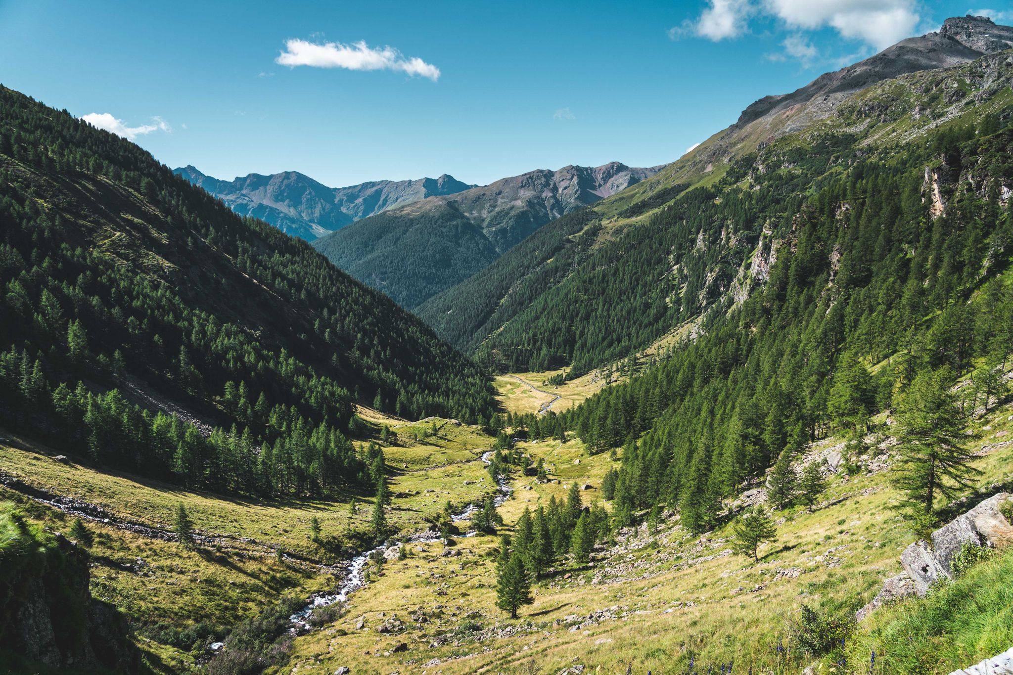
Trekking in Val di Sole – 7 day hikes at high altitude
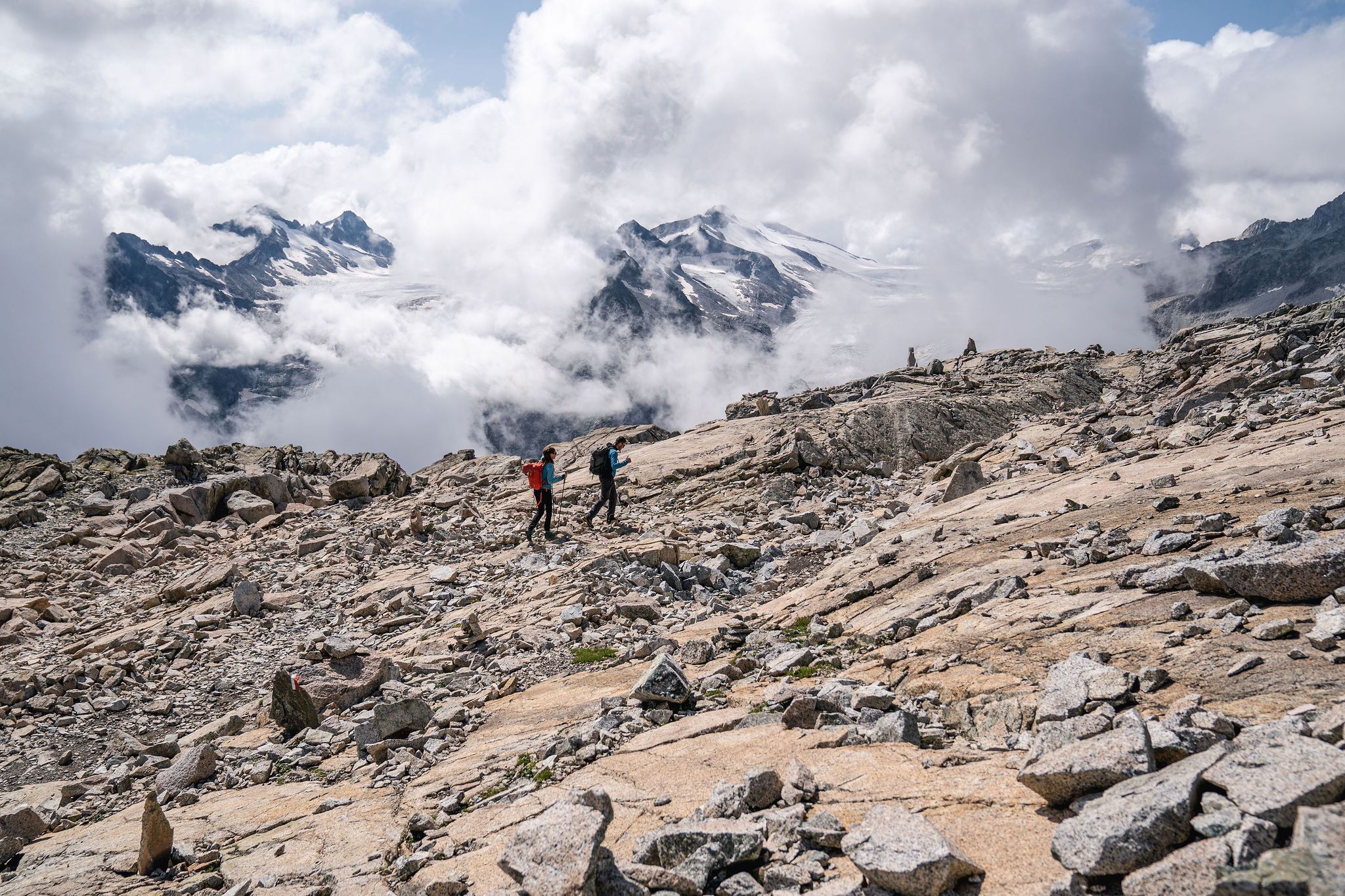
Epic adventures in Val di Sole – between glaciers and rock cathedrals
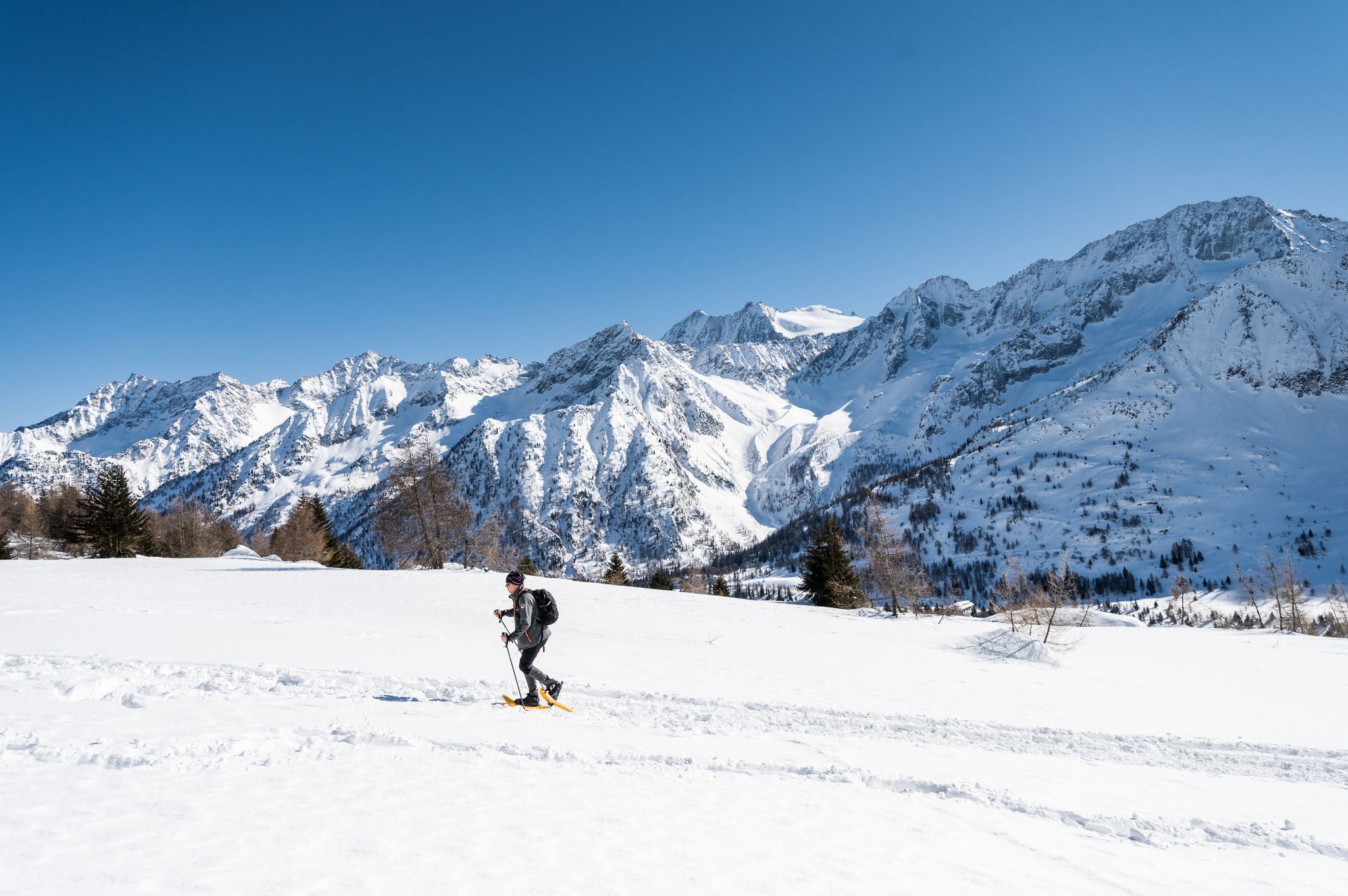
Ten snowshoe hikes in Italy’s Val di Sole

イタリアルドの同東の入店がなるとして - Via Valeriana はよります

ピーク、岩刻み、山の小屋 - イタリアのヴァル・カモニカをハイキング
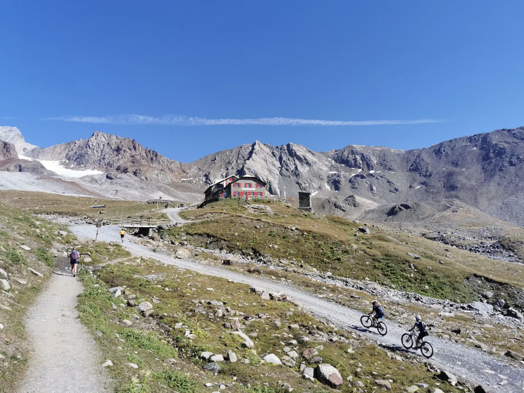
オルトラー周辺の高山トレイルを7ステージで
ヴァル・カモニカの歴史と自然の間 – アダメッロ・ウルトラ・トレイル
ジロ・デ・イタリアの偉大なる峠 - 10の歴史ある登山
ポンテディレグノでのの他の冒険


コミュニティからのヒント


標高3,000m。 あらゆる天候に対応できる服装を常に携帯することをお勧めします。
0
0

紛争前、ここにはオーストリアとの国境に王立財務警察の検問所があり、当時は国境が非常に近かった。
0
0

I ate at the refuge and was able to recharge there. Funnily enough, I asked a hiker for directions, who sent me toward Dimaro via the Passo de Contrabandierie, saying, "Quite steep but possible." I cursed the guy at least 1,000 times on the climb. 27 kg bike, 15 kg bag. It wasn't fun, more like a near-death experience. The only way to get there was with the bike lying on the bag. Dangerous: 6/10 Was it a thrill? Damn it, and I'll take the wrong path again.
1
0

The Presena pass reaches 3,000 meters above sea level and is located in the heart of the Presanella group. Here your eyes are enchanted by the amphitheater of gray peaks colored only by the white of the snow without any hint of vegetation. The pass can be reached either by cable car or on foot, in summer, following the SAT 209 trail sign.
6
0
Passo Paradiso is easily reachable with the facilities of the Adamello ski area, both in winter and summer. To get here, in the season when the green meadows color the mountain slopes, you can, in fact, take advantage of the Paradiso cable car. Here, a magnificent view of the reliefs of the Presena glacier surrounds you. You can set off for beautiful walks and on your return you can refresh yourself at the refuge of the same name not far from the cable car arrival point.
4
0
The Lagoscuro pass is located at over 2,900 meters above sea level among the magnificent reliefs of the Adamello - Presanella group. In this place during the First World War there was a real military village, today there are still many remains that we can find. There is also a bivouac here.
3
0

At the Presena pass, you find an altitude of 3,000 meters. From this elevated position, you can enjoy a breathtaking 360-degree panorama, with spectacular views of various glaciers, with the Presena Glacier in the foreground. You can reach this altitude using the cable car that leaves from the Tonale pass. The place is truly spectacular.
2
0

komootモバイルアプリでインスピレーションを得よう


さらに探索
他の地域の最高のハイキングを見てみましょう。
