ヴィッラバーテのおすすめウォーキング&ハイキングルート
4.4
(884)
7,806
ハイカー
176
ハイキング
ヴィッラバーテ周辺でのハイキングは、景色を満喫するのに最適な手段のひとつですが、適切なハイキングルートを見つけることは簡単ではありません。 ヴィッラバーテ周辺の人気ハイキング&ウォーキングコースを参考にすれば、行きたいルートをすぐに見つけられます。
最終更新日: 10月 22, 2026
4.7
(21)
76
ハイカー
20.1km
05:55
530m
530m
難しいハイキング. 標準以上のフィットネスレベルが必要です。 歩きやすい道です。
3.0
(1)
21
ハイカー
6.23km
01:38
50m
50m
初級者向けハイキング. 歩きやすい道です。

4.7
(23)
73
ハイカー
15.0km
04:36
520m
520m
中程度のハイキング. ある程度のフィットネスレベルが必要です。 歩きやすい道です。
7
ハイカー
15.4km
04:28
390m
390m
中程度のハイキング. ある程度のフィットネスレベルが必要です。 歩きやすい道です。
さらに多くのルートや他のユーザーのおすすめ情報を確認できます。
すでにアカウントをお持ちですか?
おすすめのツアーは他のkomootユーザーが実際に経験した何千ものアクティビティに基づいています。
無料アカウントで今日から始めよう
次の冒険が待っています。

コミュニティからのヒント


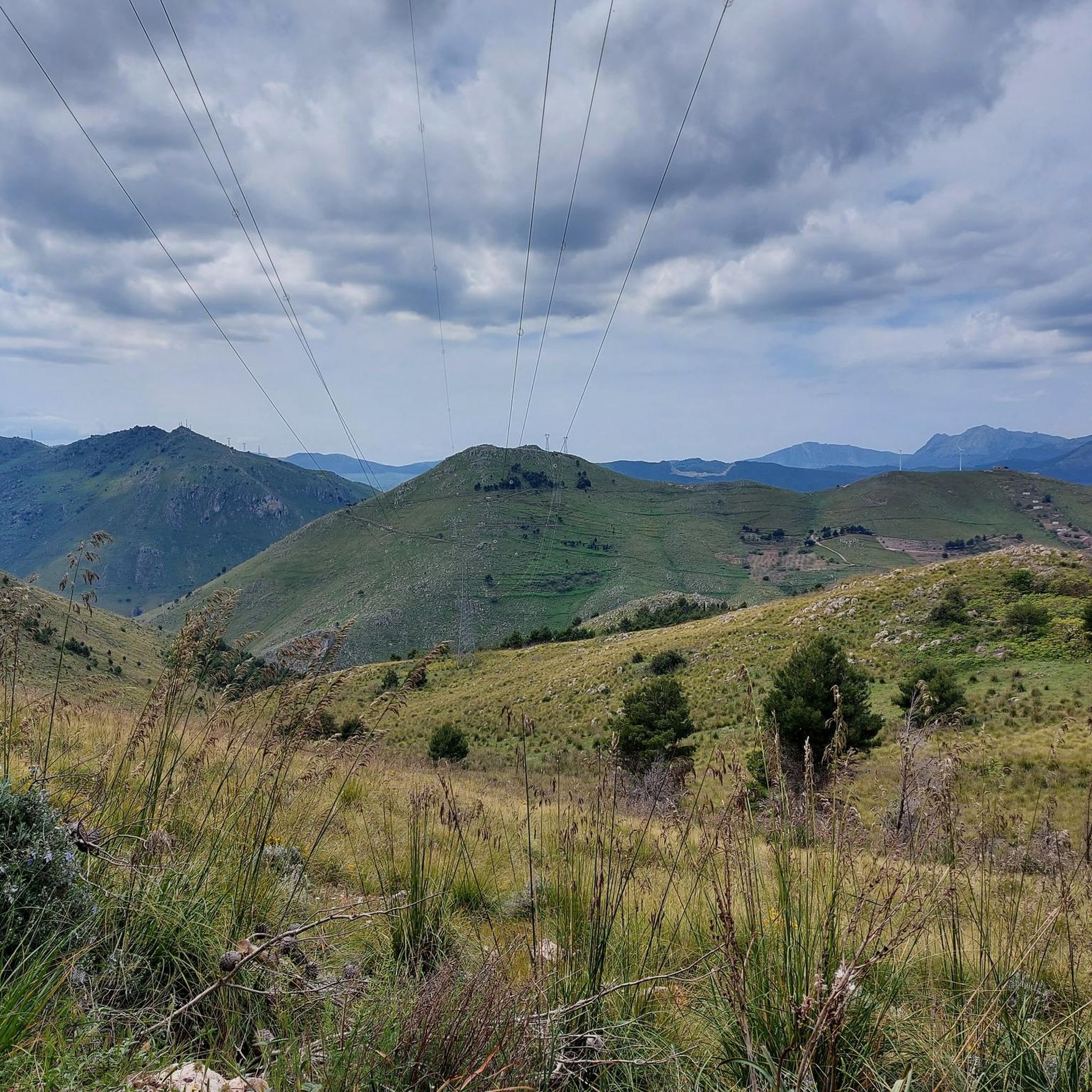
The trail leading to the lookout is now disused and barely visible. The terrain is very uneven. Only undertake this hike with suitable footwear and a good sense of direction.
0
0

Beautiful pebble/stone beach, clean water, offers shade, and is accessible without beach shoes. Relatively small but still not overcrowded.
0
0

walk through the landscape of mongerbino and hat Napoleone with descent into the coves of the three swimming pools
0
0

Although some flanks of the mountain are very steep, the ascent on the north-west side is completely safe, even with small children.
0
0
Monte Cofano is - at least on the north-west side and up to the summit - densely covered with conifers. The ascent is therefore mostly shady and is therefore very feasible even in midsummer.
0
0

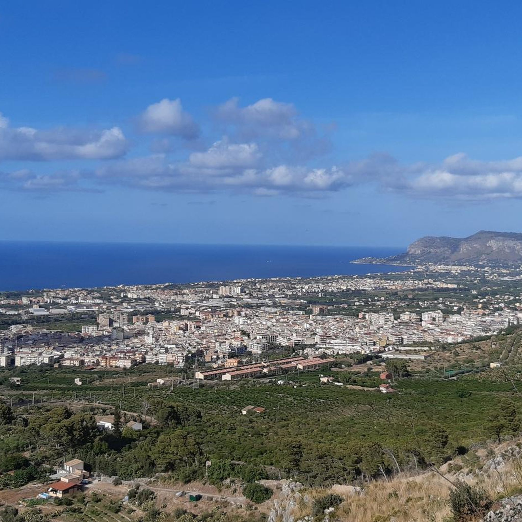
The trigonometric point, with its 376 m.s.l.m., is the highest point of the whole Monte Catalfano complex: from here you can enjoy a breathtaking view of the entire coast that goes from Capo Gallo to Cefalù. The trigonometric is a point located in a dominant position and visible from other trigonometric points.
0
0
ヴィッラバーテでのの人気観光スポット

komootモバイルアプリでインスピレーションを得よう


さらに探索
他の地域の最高のハイキングを見てみましょう。
