ルート

プランナー

機能

アップデート

App

ログインまたはサインアップ

アプリを入手

ログインまたはサインアップ

ルート
Places to see
Mountain passes
イタリア
ロンバルディア
ブレシア

ベルツォデモ

ベルツォデモの峠・トップ20

風景を楽しんだり、上りや下りを満喫したり、峠には楽しみ方がたくさんあります。ベルツォデモの素晴らしい峠の一覧を参照して、思い出に残るアドベンチャーに出かけましょう。コミュニティのメンバーがコミュニティのために投稿した峠のハイライトは、他のユーザーが実際におすすめする情報なので、どれも信頼できるものです。気に入った峠にさっそく向かってみましょう。

最終更新日: 9月 2, 2026

カンペッリ峠

ハイライト • 山道

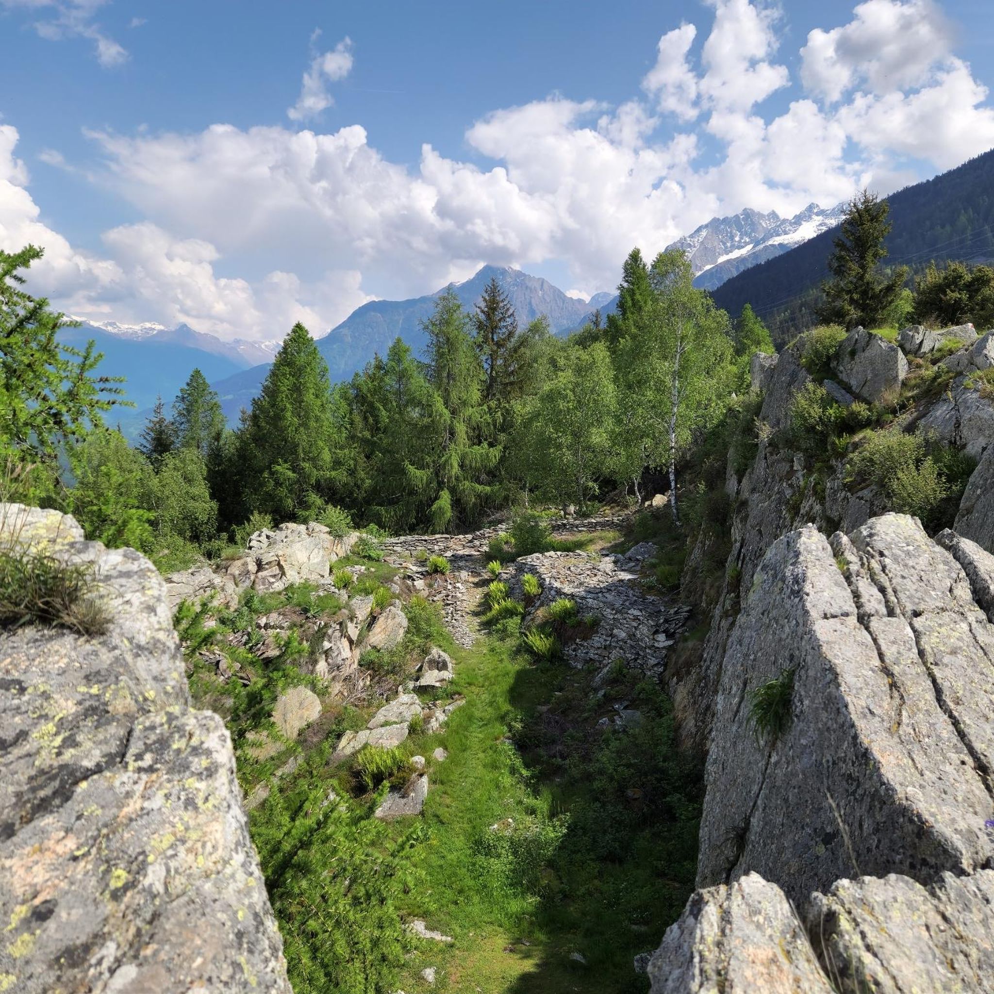
The Campelli pass is at 1,889 meters above sea level and dominates the view of the Scalve valley and the Camonica valley. The refuge can be reached in approximately 1 …

翻訳者 Google •

役立つ情報

によるものです

ここでのハイキングを見る

スマートフォンに送信

保存

ヴィヴィオーネ峠

ハイライト • 山道

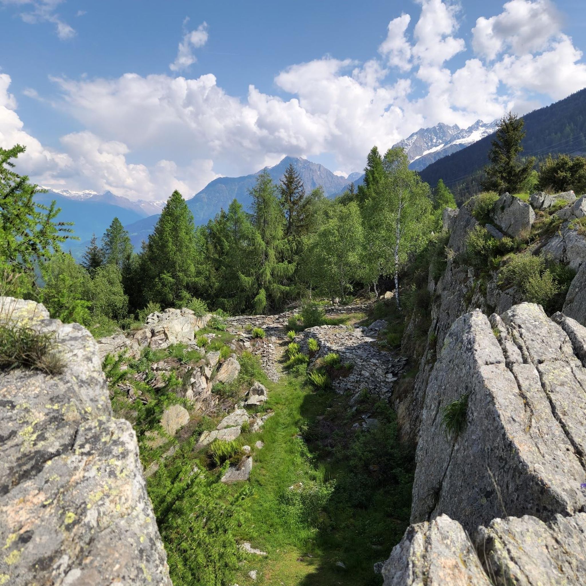
The Vivione pass is an ideal destination for hiking lovers. Located at approximately 1,828 meters above sea level, it connects Val Camonica and Val Seriana offering breathtaking landscapes. There are …

翻訳者 Google •

役立つ情報

によるものです

保存

今すぐサインアップして、こんな場所を発見しよう

最高のシングルトラック、ピーク、その他のエキサイティングなアウトドアスポットのおすすめを受け取ろう。

無料新規登録

リフージョ・アヴィオーロ

ハイライト • 山小屋

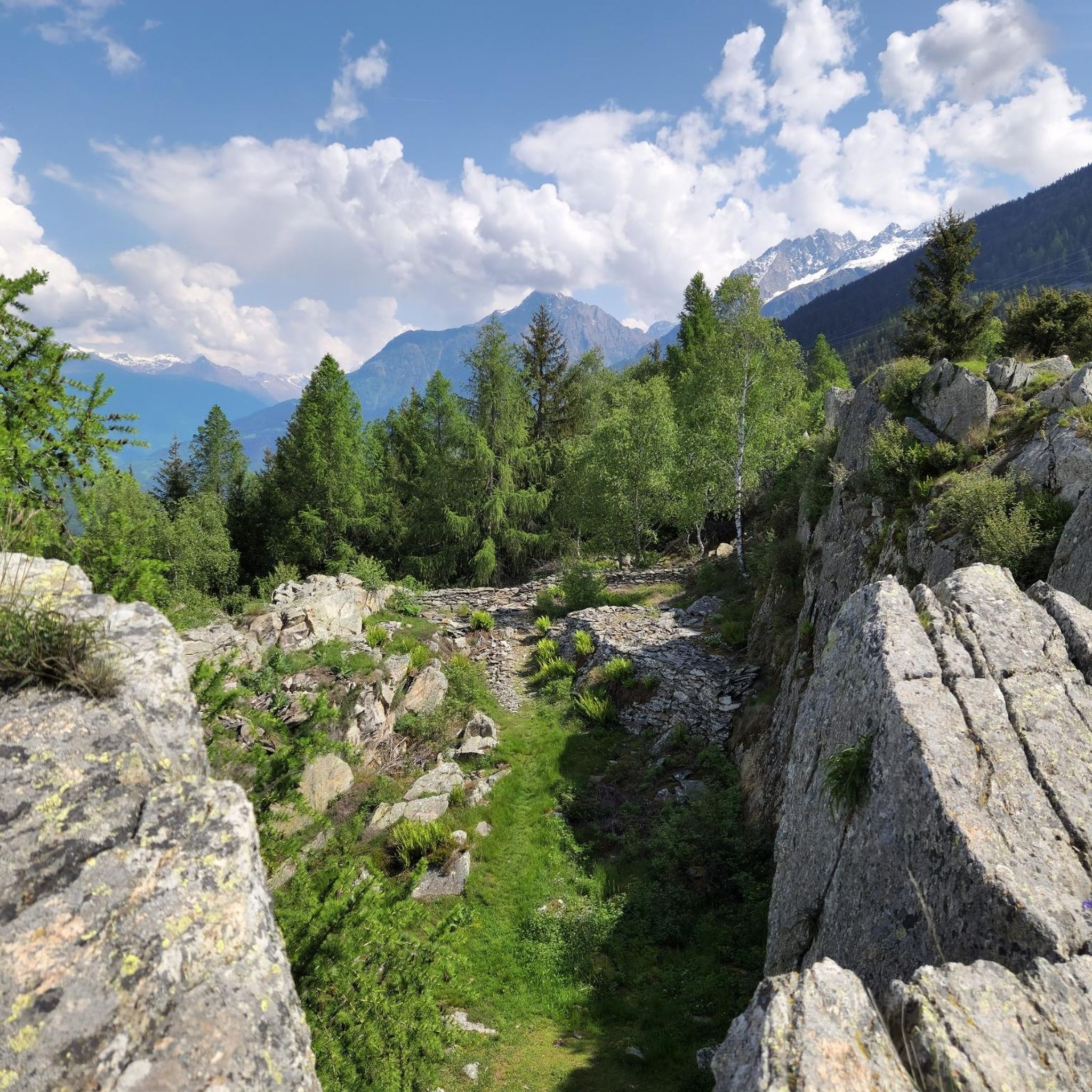
The Sandro Occhi Refuge is located at an altitude of 1,930 meters in the splendid scenery of Lake Aviolo and Baitone. Its location is ideal for numerous excursions and ascents, …

翻訳者 Google •

役立つ情報

によるものです

保存

モルティローロ峠上の道路

ハイライト (セグメント) • 山道

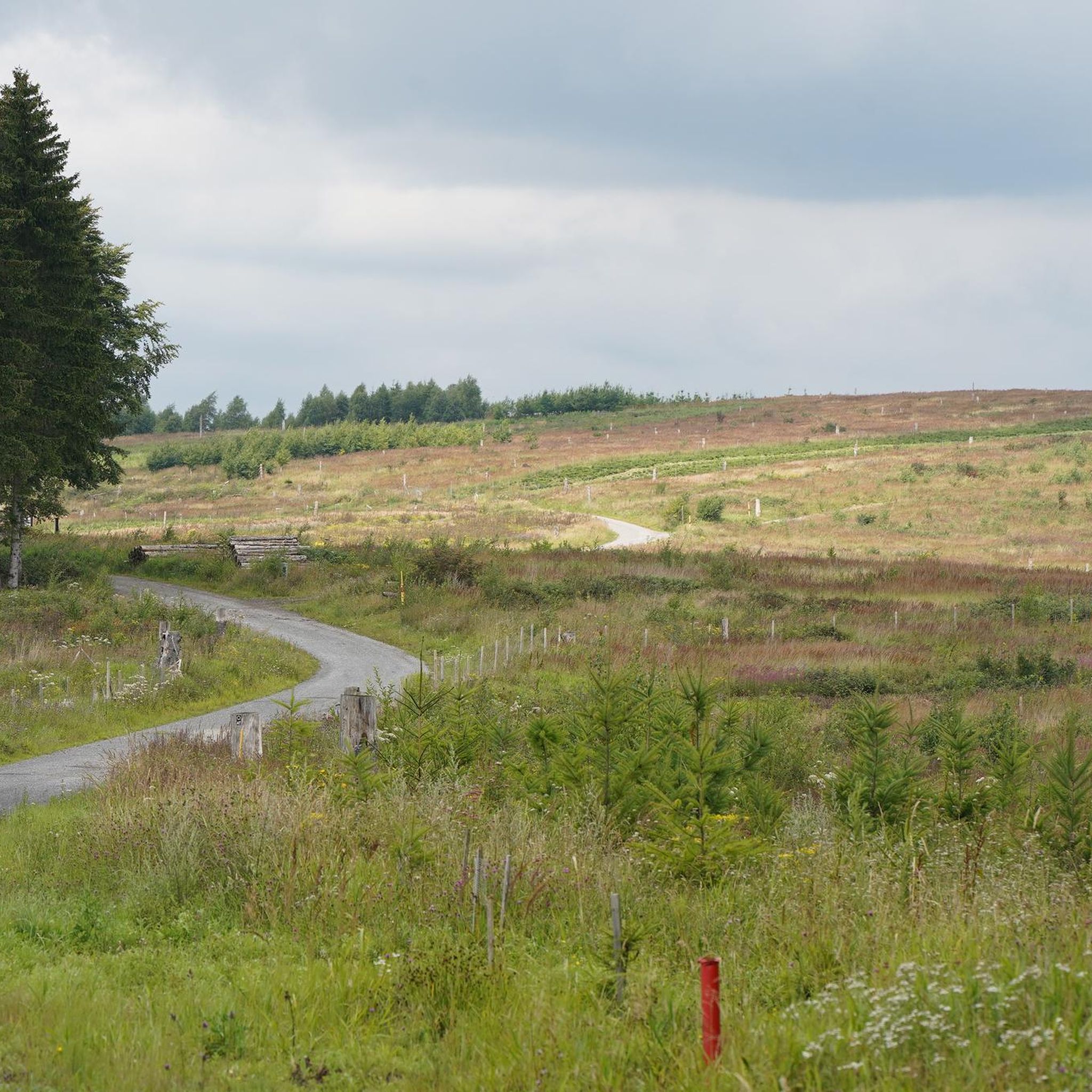
Southwest of the Gavia pass is the 1896 m s.l.m., high Mortirolo pass. In the surrounding area, the pass connects a whole network of hiking trails and easy roads. It …

翻訳者 Google •

役立つ情報

によるものです

保存

エドロからトナーレ峠への登り

ハイライト (セグメント) • 山道

The climb to Passo del Tonale from Edolo goes up Val Camonica for almost 30 kilometers, overcoming about 1200 meters of altitude difference. It is a long climb, with moderate …

翻訳者 Google •

役立つ情報

によるものです

保存

無料でサインアップして、さらに多くの山道を発見しましょう ベルツォデモでの。

無料新規登録

すでにアカウントをお持ちですか?

無料アカウントで今日から始めよう

次の冒険が待っています。
ログインまたは登録

ベルツォデモ周辺で人気

ベルツォデモのロードバイクルート

ベルツォデモでのハイキング

ベルツォデモでのサイクリング

ベルツォデモのMTBトレイル

ベルツォデモでののグラベルライド

ベルツォデモのランニングコース

ベルツォデモでの登山&山歩き

コミュニティからのヒント

The Silent Walker
10月 24, 2025, Passo Campelli

The Campelli Pass is an Alpine pass at approximately 1,892 meters above sea level that connects the Scalve Valley (province of Bergamo) with the Camonica Valley (province of Brescia). It is a popular hiking destination for its scenic beauty and the variety of available itineraries. 🏔️ Main Features Location: Between Schilpario (BG) and Cerveno (BS) Elevation: approximately 1,892 m View: Spectacular view of Cimon della Bagozza and the Piccole Dolomiti Scalvine Access: From Schilpario – Fondi: winter route for snowshoeing or ski mountaineering From Schilpario – Baracca Rossa: shorter and more scenic summer route From Ono San Pietro (BS): longer and more challenging route 🚶‍♂️ Recommended Activities Summer Hiking: Well-marked trails, also suitable for families Winter Snowshoeing: Safe and picturesque itineraries in the snow Mountain Biking: Technical and scenic routes, with stops at the Campione Refuge and Campelli Lake 📍 Nearby Points of Interest Campione Refuge: Not far from the pass, offers refreshments and overnight accommodations Campelli Lake Campelli: a small Alpine lake, ideal for a break Madonnina dei Campelli: a panoramic and spiritual point along the route

Google翻訳による翻訳

0

0

Cycle path towards Tonale. Steep uphill gradients of up to 18%.

Google翻訳による翻訳

0

0

The climb to Passo del Tonale from Edolo goes up Val Camonica for almost 30 kilometers, overcoming about 1200 meters of altitude difference. It is a long climb, with moderate average gradients of around 4%. After passing through the town of Ponte di Legno, the road becomes slightly more challenging up to the pass, which marks the border between Lombardy and Trentino-Alto Adige.

Google翻訳による翻訳

1

0

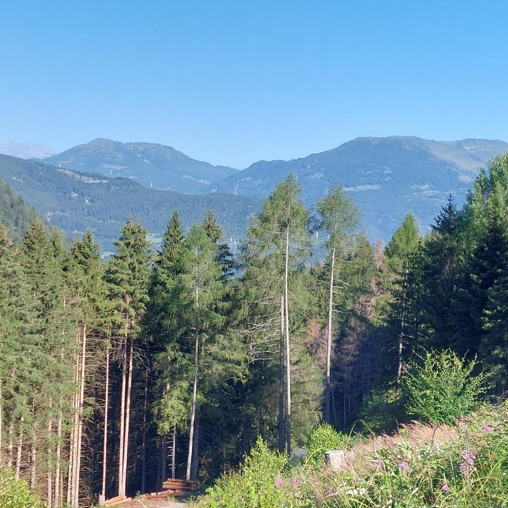
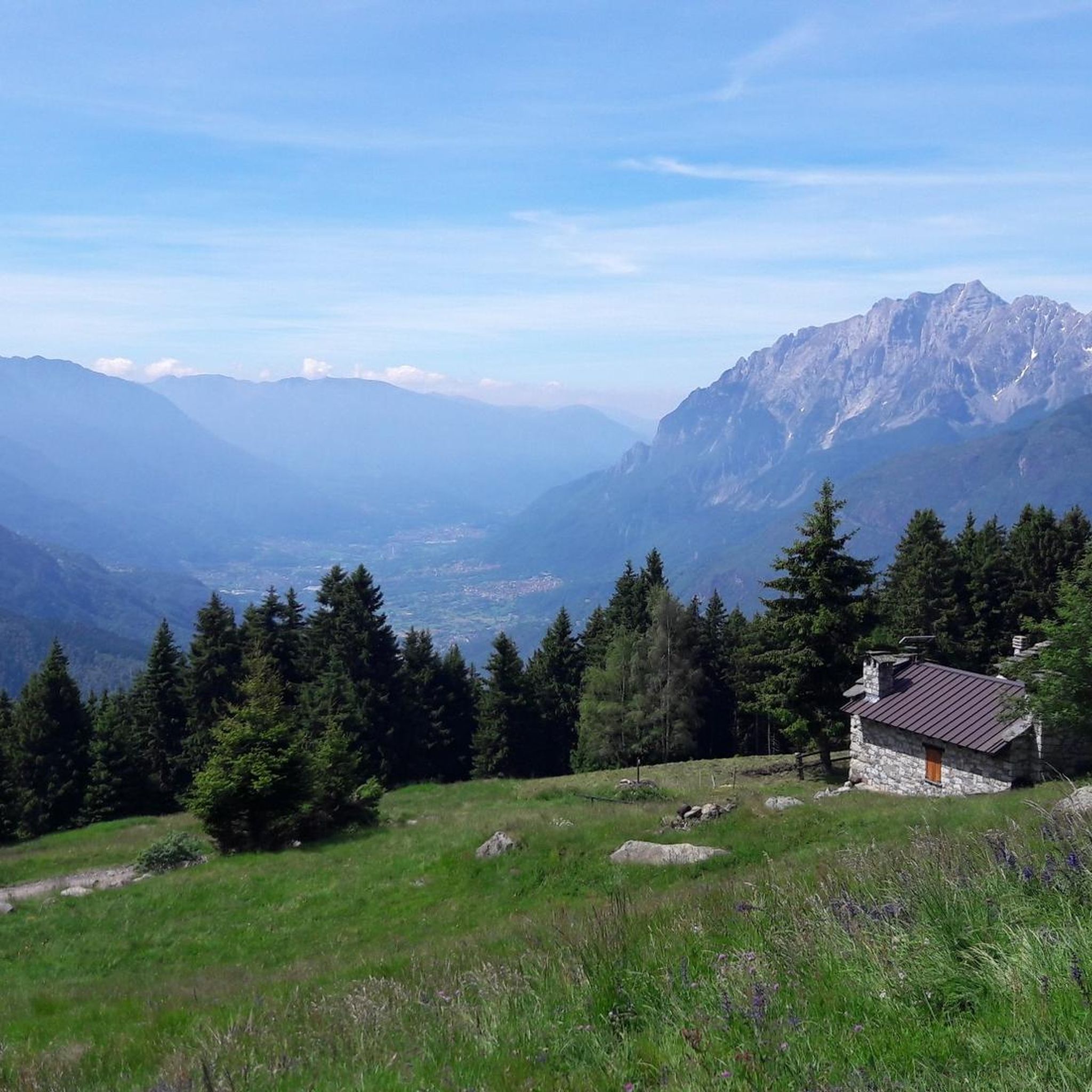
Splendid view of Cimon Bagozza, Scalve Valley and Valcamonica

Google翻訳による翻訳

0

2

Beautiful refuge immersed in nature. Impossible not to stop after the hard climb pedaled😉

Google翻訳による翻訳

1

0

Leckeres Essen. Auch für eine Übernachtung geeignet wenn das Gemeinschaftsbad nicht stört.

1

0

fantastic place, beautiful valley from which excursions on foot and also by mountain bike (not easy) start.

Google翻訳による翻訳

0

0

This section covers 2 of the 6 slopes that the Mortirolo has: - Northwest slope that starts from Grosio -- it is a beautiful climb, with many alternatives and different landscapes. Super recommended!!!! - East slope of Edolo passing through Monno -- it is not a pretty climb because you can barely see anything. The passage through the town of Monno is beautiful as well as the last km, which is very hard.

Google翻訳による翻訳

0

0

ベルツォデモでのの人気ルート

ベルツォデモのロードバイクルート

ベルツォデモでのの人気観光スポット

Places to see

Store rating

komootモバイルアプリでインスピレーションを得よう

無料のkomootアカウントがあれば、無限のアウトドアコースを簡単に見つけてカスタマイズし、ナビで案内できます。

または

今すぐkomootに参加しよう

Store rating

さらに探索

これらのガイドでさらに壮大な山道を見てみましょうベルツォデモでの:

ティニャーレトレモージネスルガルダリモーネ・スル・ガルダマガサヴァルヴェスティーノボルノピアンボルノバゴリーノラヴェノーネポンテディレグノペルティカ・バッサTemùアンゴロテルメコッリオダルフォボアーリオテルメブレノヴィオーネアンホIdroビエンノヴェストーネヴォバルノエージネガルニャーノトスコラーノマデルノペルティカアルタカポヴァッレプロヴァーリオヴァルサビアトレヴィーゾ・ブレシアーノベルツォインフェリオアエドロオッシモボーヴェニョSaviore Dell'AdamelloジャーニコサッビオキエーゼガルドーネリビエラArtogneセトブラオーネマロンノローツィオマルメンティーノコルテノゴルジピアン・カムーノパイスコ・ロヴェーノイゼーオチェルヴェーノニアルドヴェッツァ・ドーリオマルケーノイルマCevoルメッツァーネピゾーニェマレーニョガルドーネヴァルトロンピアペッツァーツェカーポディポンテインキュディンチヴィダーテカムノセールマラジーノParco Regionale dell'Adamelloマローネすーぱーそに子ゾーンロージネチンベルゴタヴェルノレスルメラオノサンピエトロロドリーノバルゲセッレロチェデーゴロカストモンテ・イーゾラパスパルドサレッツォスルツァーノヴィラカルチーナビオーネプレゼーリエブリオーネ青梅ポラーヴェノモンノアニョージネコンチェージオモンティチェッリブルサティParco naturale dell'Alto Garda Brescianoサロロエ・ヴォルチャーノヴィッラヌオーヴァスルクリシコルテフランカカプリオーロオードロガヴァルドパラーティコチェッラーティカグッサーゴアドロヴァッリオ・テルメサンフェリーチェデルベナコプロヴァーリオ・ディゼーオボヴェッツォカイノ身廊コッレベアート

近くのアドベンチャーガイド

セッレロでやるべきこと

background

新しいピークを征服する準備をしよう

無料でサインアップ

探検する
ルートルートプランナー機能バウチャーを利用ハイキングMTBトレイルロードバイクルートバイクパッキングサイトマップ
アプリをダウンロード
SNSでフォローする

© komoot GmbH

プライバシーポリシー