ヴィオーネの峠・トップ20
風景を楽しんだり、上りや下りを満喫したり、峠には楽しみ方がたくさんあります。ヴィオーネの素晴らしい峠の一覧を参照して、思い出に残るアドベンチャーに出かけましょう。コミュニティのメンバーがコミュニティのために投稿した峠のハイライトは、他のユーザーが実際におすすめする情報なので、どれも信頼できるものです。気に入った峠にさっそく向かってみましょう。
最終更新日: 9月 2, 2026
パッソ・デッラルペ(2461m)
ハイライト • 山道
翻訳者 Google •
役立つ情報 は

フォルチェリーナ・ディ・モントッツォ
ハイライト • 山道
The gravel road is easy to drive up high, except for the last 100m. One of the most amazing panoramas I have seen on the descent in my life. …
翻訳者 Google •
役立つ情報 は

今すぐサインアップして、こんな場所を発見しよう
最高のシングルトラック、ピーク、その他のエキサイティングなアウトドアスポットのおすすめを受け取ろう。
無料新規登録
トナーレ峠
ハイライト • 山道
翻訳者 Google •
役立つ情報 は

パッソ・パラディーゾ
ハイライト • 山道
To get here, in the season when the green meadows color the …
翻訳者 Google •
役立つ情報 は

パッソ・デイ・コントラバンディエーリ
ハイライト • 山道
翻訳者 Google •
役立つ情報 は

無料でサインアップして、さらに多くの山道を発見しましょう ヴィオーネでの。
無料新規登録
すでにアカウントをお持ちですか?
無料アカウントで今日から始めよう
次の冒険が待っています。
ログインまたは登録



コミュニティからのヒント

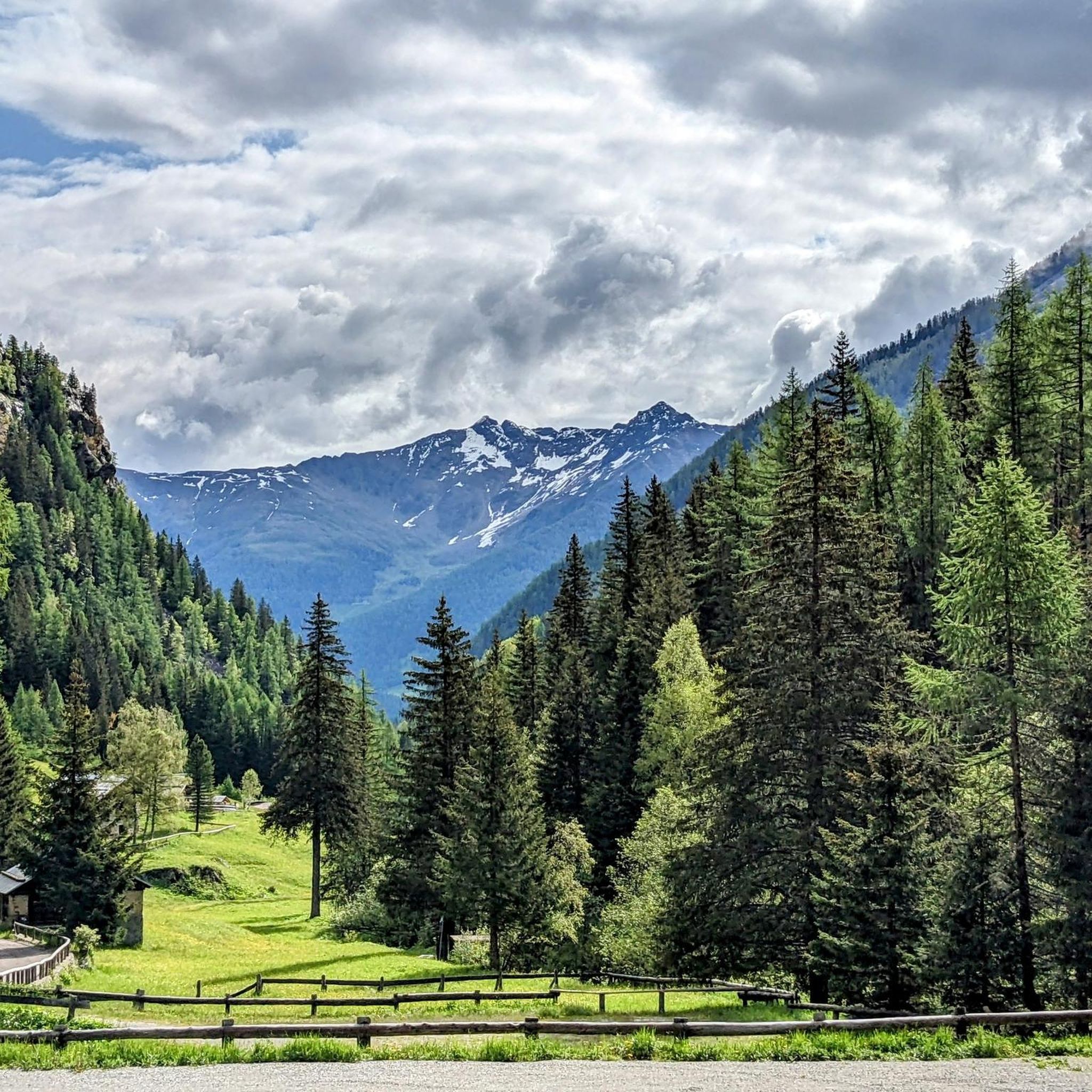
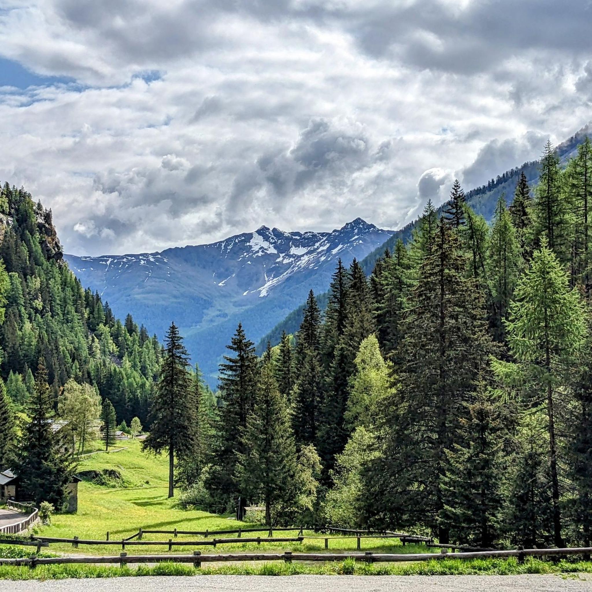
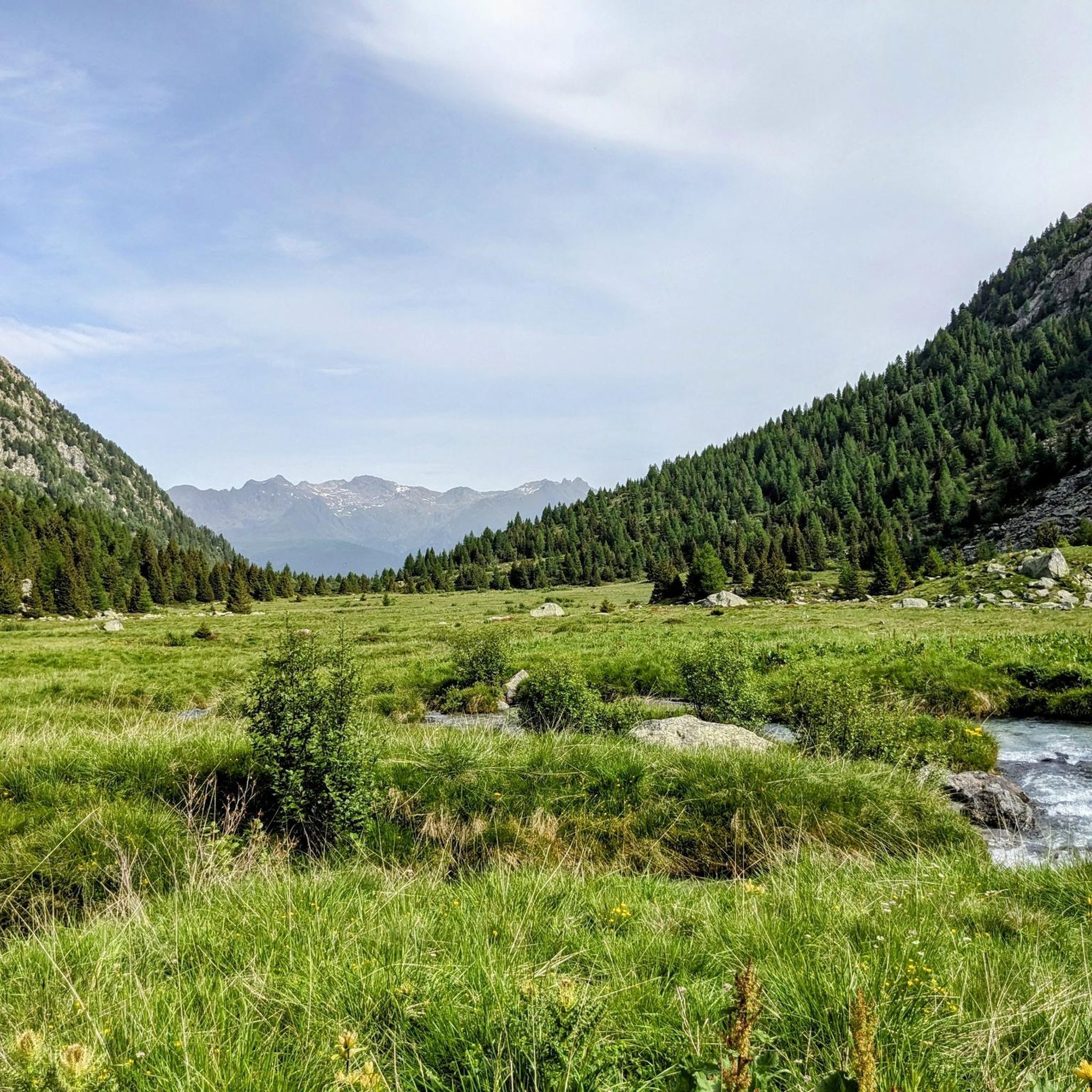
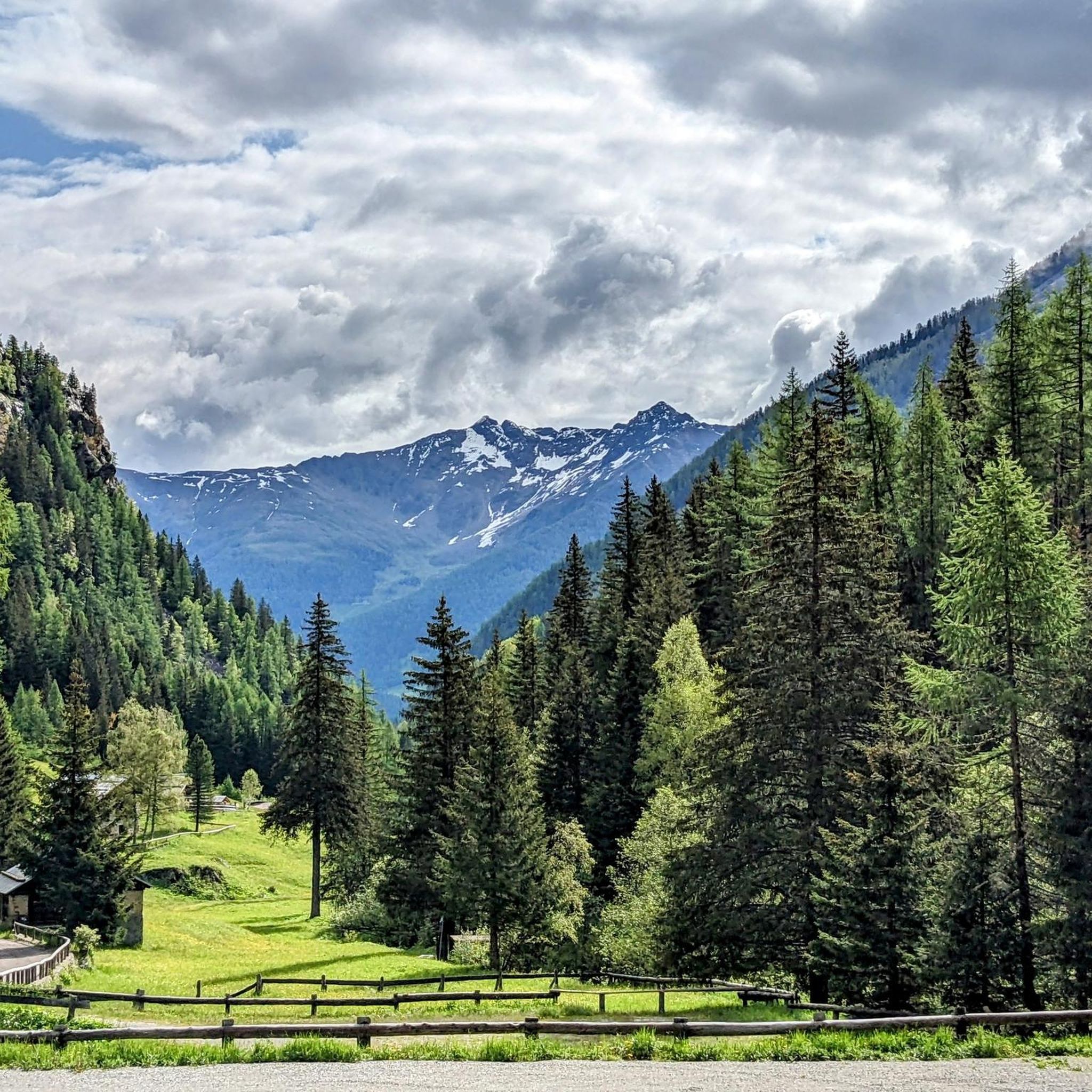
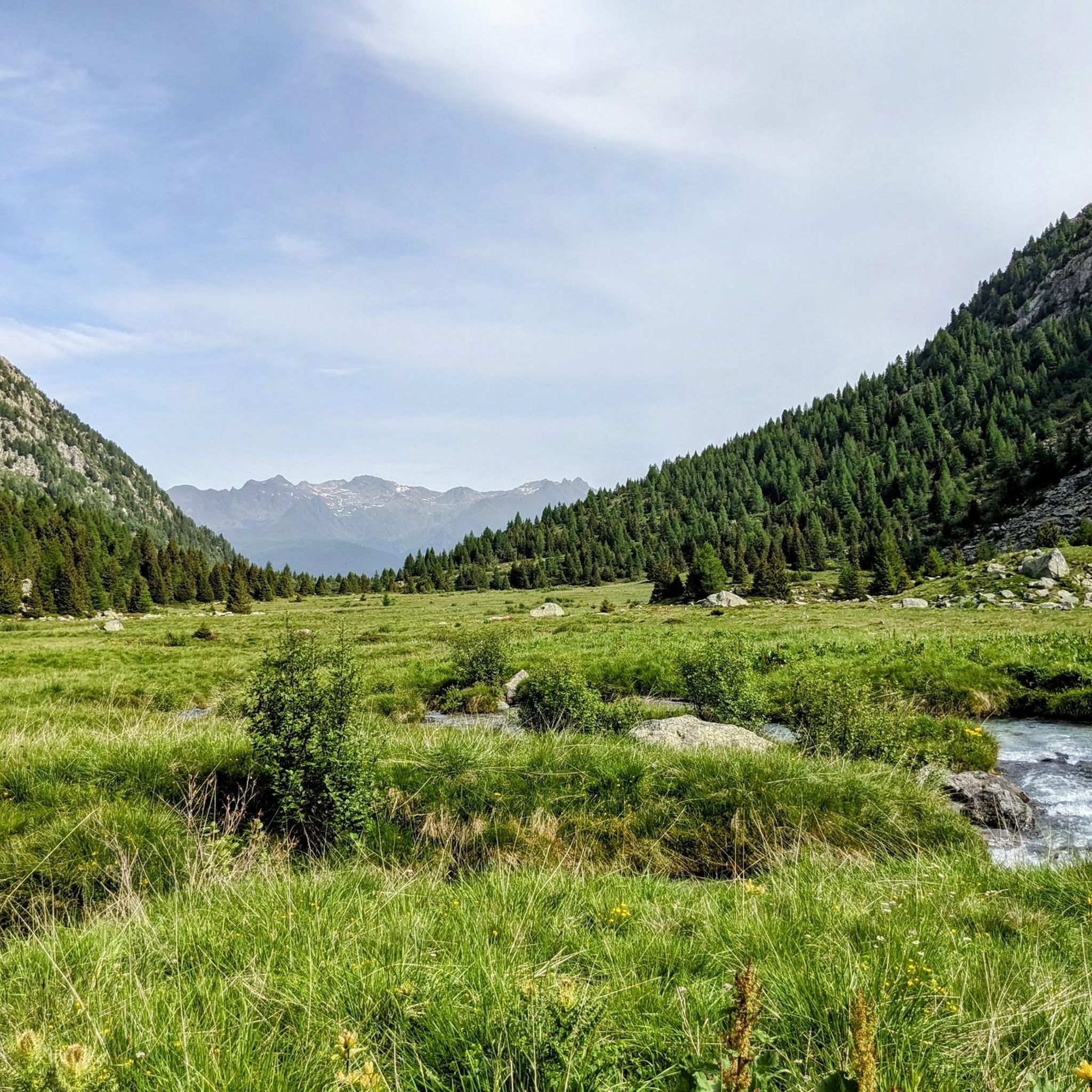
コントラバンディエーリ峠は、標高2,681メートルのアルプス峠で、トレンティーノ(ヴェルミリオ市)とロンバルディア(ポンテ・ディ・レニョ市)を結び、ステルヴィオ国立公園の南端に位置しています。 この峠は夏のハイキングに最適な場所で、北にはオルティレス・チェベダーレ群、南にはアダメッロ・プレサネッラ群まで広がるパノラマビューを楽しめます。 出発点:トナーレ峠(オスピツィオ・サン・バルトロメオ地区)。 未舗装路をマルガ・ヴァルビオロ(2,244 m)まで登ります。夏の間はリフトを利用して歩行距離を短縮することも可能です。マルガからは、最後の急で岩の多い区間を経て峠に直接続くCAIトレイル111号線に入ります。 トナーレからの総標高差は約740メートルで、登りだけで平均2時間20分かかります。 難易度:ハイキング(E)。技術的な難易度はありませんが、最後の急勾配のため疲労が伴います。登山靴の使用を強くお勧めします。
1
0

A pass located at 2,681 meters above sea level, on the watershed dividing northern Trentino from Lombardy, so called because during the Austro-Hungarian reign, smugglers passed through it carrying contraband goods. It was the site of trench warfare during the First World War, and today, the imposing ruins of trenches, barracks, and Italian army posts can still be seen on the great ridge that, starting from Cima Cadì, passed over western Monte Tonale, Cima Casaiole, and then from Passo dei Contrabbandieri, ascended first to Albiolino and then to Punta d'Albiolo, opposing the Austro-Hungarians who occupied Torrione d'Albiolo and the entire ridge descending from it, to eastern Monte Tonale and today's "Città morta" (Dead City), with a bold cantilevered engineering feat, still partially visible from the 1960s and 1970s. From the pass you can enjoy interesting views both to the north and to the south.
7
1

イタリアとオーストリアの様々な戦争で亡くなった兵士たちのための軍事聖域であり、氷河の融解により発見されたものもある
1
0

Stunning high altitude trail that can be done on a sure-footed mountain bike
2
0

really very very beautiful https://www.youtube.com/watch?v=zTNqMTmHpec
2
0

The Alpe pass, at 2,461 meters, is one of the most suggestive in the area. The climb, long but accessible, crosses the Val di Rezzalo on a paved road that then becomes a dirt road and steeper. The descent towards the Gavia pass road offers almost 200 meters of altitude difference.
2
0

Possibility to recharge after departure from Alta Via Camuna.
1
0

Passo Paradiso is easily reachable with the facilities of the Adamello ski area, both in winter and summer. To get here, in the season when the green meadows color the mountain slopes, you can, in fact, take advantage of the Paradiso cable car. Here, a magnificent view of the reliefs of the Presena glacier surrounds you. You can set off for beautiful walks and on your return you can refresh yourself at the refuge of the same name not far from the cable car arrival point.
4
0

komootモバイルアプリでインスピレーションを得よう


さらに探索
これらのガイドでさらに壮大な山道を見てみましょうヴィオーネでの:
