ヴァルゴーリオのおすすめランニングルート
4.1
(43)
4,278
ランナー
150
ランニング
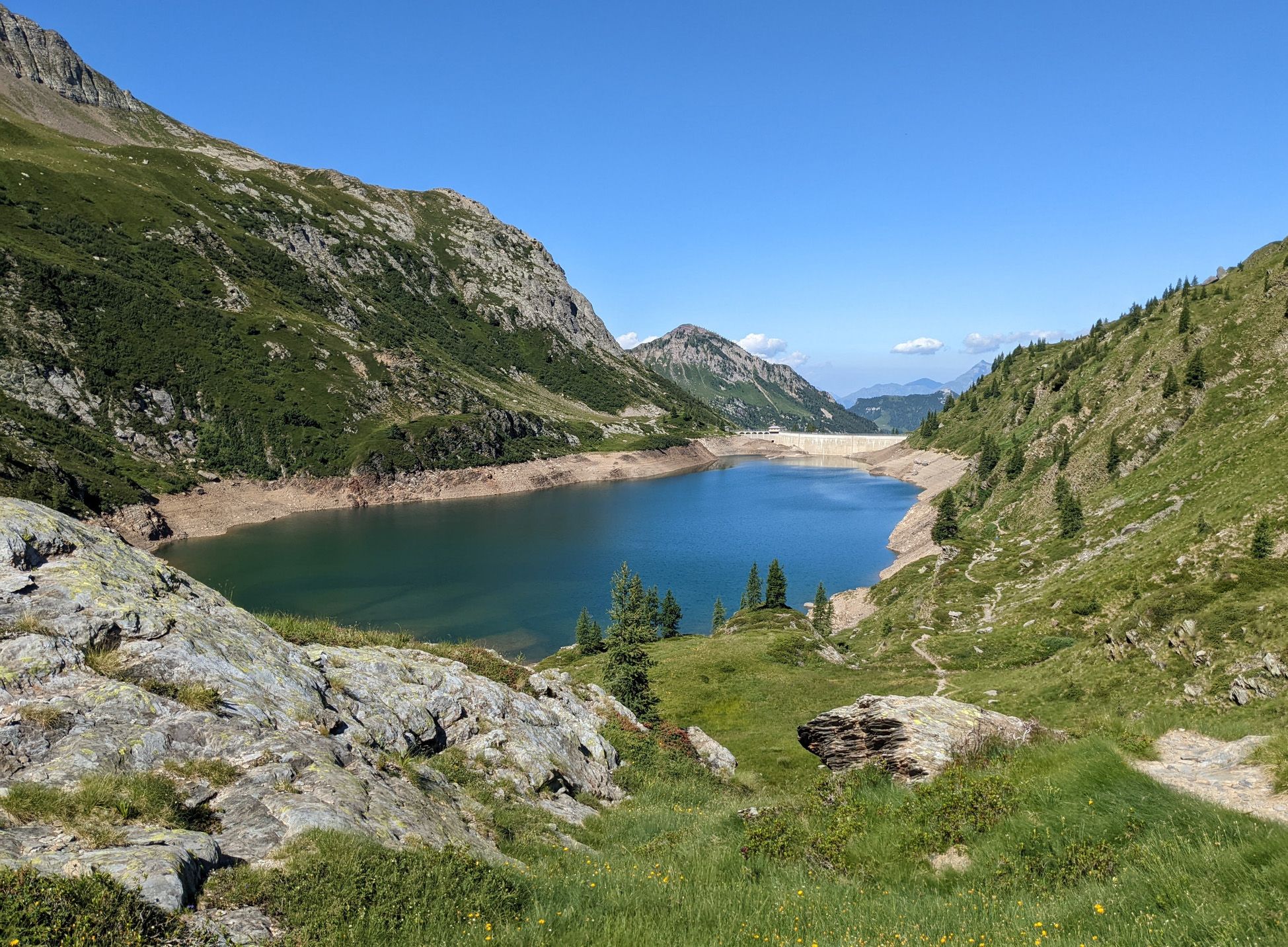
ジョギングコースは、標高929メートルから始まる山岳地帯が特徴のロンバルディア州アッパー・ヴァッレ・セリアーナに位置しています。この地域には、ヴァル・サングイーノのような緑豊かな谷、数多くの川や小川、広大な森林地帯など、多様な景観があります。ランナーは、イタリアアルプスのパノラマビューを提供する、印象的な高山湖や変化に富んだランニングサーフェスを探索できます。
ヴァルゴリオ周辺の最高のジョギングコース
- 最も人気のあるジョギングコースは、ヴァルカナールから出発する「ツイン・レイクス・パス – アルペ・コルテ・ハット・ループ」で、距離は7.4マイル(11.9 km)、所要時間は2時間42分です。この難易度の高いコースは、大幅な標高変化があり、高山湖や山岳景観の眺めを楽しめます。
- 地元ランナーに人気のもう一つのコースは、ヴァルカナールから出発する「ラギ・ジェメッリ・ハット – リフーギオ・カパンナ2000ループ」で、難易度の高い16.7マイル(26.8 km)のルートです。このトレイルは、厳しい山岳地帯を通り抜け、かなりの挑戦を提供します。
- 地元ランナーは、ヴァルカナールから出発する「アルペ・コルテ・ハット – ラギ・ジェメッリ・ハット・ループ」も気に入っています。この9.9マイル(15.9 km)のトレイルは、アルペン地帯を通り抜け、所要時間は約3時間22分です。
- ヴァルゴリオ周辺のジョギングは、高山湖、深い谷、山岳地帯が特徴で、トレイルはしばしば森林地帯を通過します。このネットワークは、簡単なコースから挑戦的なアルペンランまで、さまざまなレベルの能力に対応するオプションを提供します。
- ヴァルゴリオのコースは、20件以上のレビューで平均4.5つ星を獲得しており、komootコミュニティから高く評価されています。3000人以上のランナーがkomootを利用して、ヴァルゴリオの多様な地形を探索しています。
最終更新日: 10月 9, 2026
63
ランナー
11.9km
02:42
1,050m
1,050m
難しいジョギング. 標準以上のフィットネスレベルが必要です。 安定して歩行できる技術、丈夫な靴、高標高地での登山経験が必要です。
27
ランナー
33.4km
06:23
1,990m
1,990m
難しいジョギング. 標準以上のフィットネスレベルが必要です。 安定して歩行できる技術、丈夫な靴、高標高地での登山経験が必要です。

3.0
(1)
31
ランナー
19.7km
03:41
1,290m
1,290m
難しいジョギング. 標準以上のフィットネスレベルが必要です。 安定して歩行できる技術、丈夫な靴、高標高地での登山経験が必要です。
21
ランナー
17.8km
03:53
1,470m
1,470m
難しいジョギング. 標準以上のフィットネスレベルが必要です。 安定して歩行できる技術、丈夫な靴、高標高地での登山経験が必要です。
18
ランナー
11.9km
02:01
590m
590m
難しいジョギング. 標準以上のフィットネスレベルが必要です。 安定して歩行できる技術、丈夫な靴、高標高地での登山経験が必要です。
さらに多くのルートや他のユーザーのおすすめ情報を確認できます。
すでにアカウントをお持ちですか?
おすすめのツアーは他のkomootユーザーが実際に経験した何千ものアクティビティに基づいています。
無料アカウントで今日から始めよう
次の冒険が待っています。





コミュニティからのヒント


Passo Portula 2273m, a panoramic pass that separates Val Brembana and Val Grabiasca (a side valley of Val Seriana), and divides Monte Madonnino and Monte Reseda.
0
0

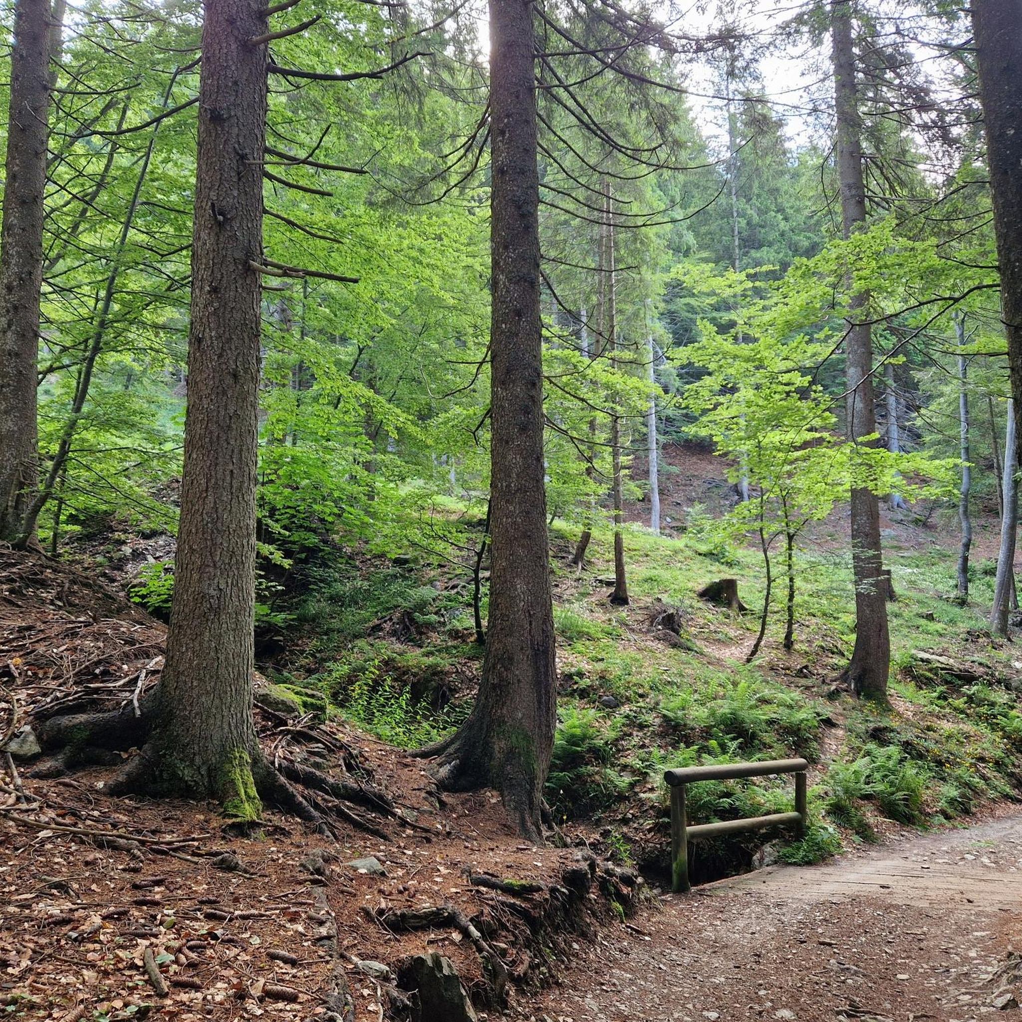
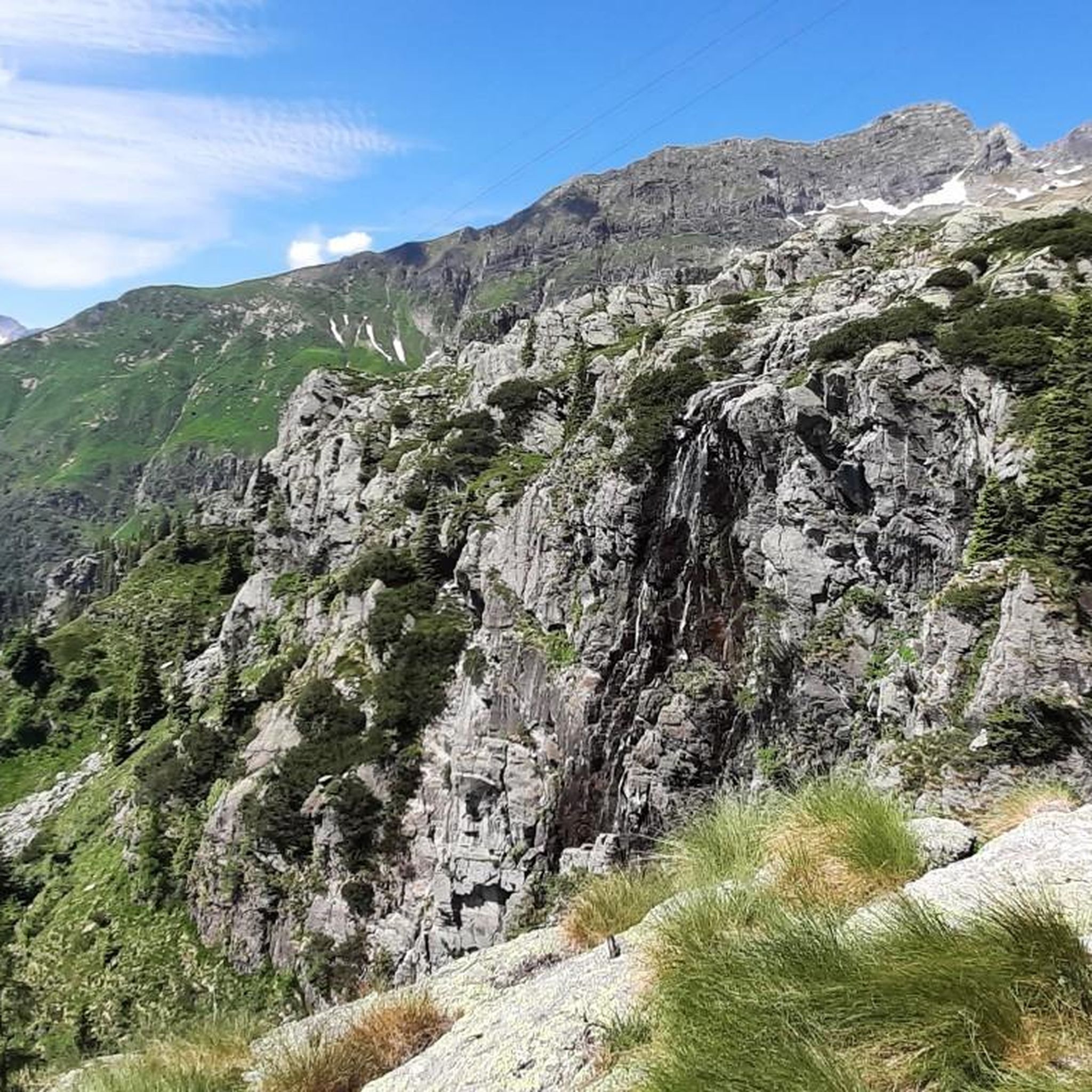
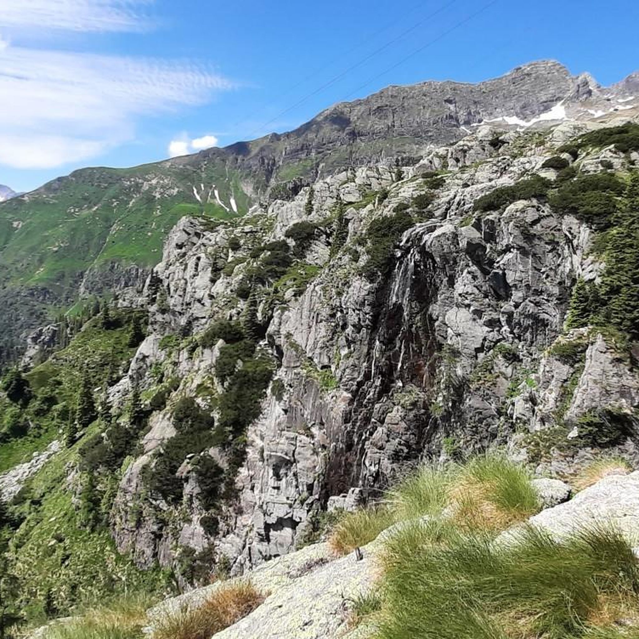
Today Sanguigno Stream Waterfalls Show more The Sanguigno Stream waterfalls are one of the most evocative natural spectacles in the Sanguigno Valley, above Valgoglio (BG). A sequence of waterfalls and crystal-clear pools that line the trail surrounded by greenery, making the valley a true paradise for hikers and nature lovers. 🌊 Main features Unique environment: The Sanguigno Valley is considered the oasis with the highest biodiversity in the Orobie Bergamasche Park. Waterfalls and natural pools: The stream cascades, forming transparent pools of green and blue. Wild atmosphere: The water tumbles over waterfalls, rests in crystal-clear lakes, and flows through peat bogs and shady woods. Accessibility: The starting point is the Aviasco power plant (965 m), accessible by car from Valgoglio. From there, the trail follows the stream and its waterfalls to the Gianpace Refuge. 🚶♂️ Hiking itinerary Start: Valgoglio (929 m), with parking at the Aviasco power plant (ticket required). Route: The trail follows the Sanguigno stream, passing through woods and clearings, with constant glimpses of the waterfalls. Intermediate stop: Rifugio Gianpace (1331 m), an excellent refreshment point and observation point for the waterfalls. Duration: Approximately 2 hours' walk to the refuge, with moderate elevation gain.
0
0
The Rifugio Gianpace is located in the Sanguigno Valley, above Valgoglio (BG), at an altitude of 1,330 meters. It is a popular stop for those hiking the trails along the Sanguigno stream and looking to stop for lunch or a scenic break. 🏔️ Features Location: Nestled in the lower Sanguigno Valley, easily reached with a 1.5-2 hour walk from the Aviasco power plant. Services: It offers summer refreshments (lunches, snacks, drinks) and outdoor seating with tables under a wooden canopy. Overnight stay: As it is a private refuge, overnight stays require a reservation. Ambience: Surrounded by cool, humid woods, with the stream flowing alongside, creating a natural backdrop. 📅 Current situation In past years, it has been very popular on summer weekends. Update 2025: The refuge is closed pending a new assignment, following a call for applications published on April 4, 2025. 📌 Historical contact details Website: gianpace.it Phone: +39 347 2191628 Email: rifugiogianpace@gmail.com
0
0
The waterfalls of the Sanguigno River are one of the most evocative natural spectacles in the Sanguigno Valley, above Valgoglio (BG). A sequence of waterfalls and crystal-clear pools line the trail, immersed in greenery, making the valley a true paradise for hikers and nature lovers. 🌊 Main features Unique environment: The Sanguigno Valley is considered the oasis with the highest biodiversity in the Orobie Bergamasche Park. Waterfalls and natural pools: The stream cascades, forming transparent pools of green and blue. Wild atmosphere: The water tumbles over waterfalls, rests in crystal-clear lakes, and flows through peat bogs and shady woods. Accessibility: The starting point is the Aviasco power plant (965 m), accessible by car from Valgoglio. From there, the trail follows the stream and its waterfalls to the Gianpace Refuge. 🚶♂️ Hiking itinerary Start: Valgoglio (929 m), with parking at the Aviasco power plant (ticket required). Route: The trail follows the Sanguigno stream, passing through woods and clearings, with constant glimpses of the waterfalls. Intermediate stop: Rifugio Gianpace (1331 m), an excellent refreshment point and observation point for the waterfalls. Duration: Approximately 2 hours' walk to the refuge, with moderate elevation gain.
0
0

low flower path, once you reach the halfway point, turn left and not continue towards Branchino, you descend into Val Vedra
0
0
halfway along the circular route from Plassa on the Arera flower trail
1
1

komootモバイルアプリでインスピレーションを得よう


さらに探索
他の地域の最高のランニングトレイル & ルートを見てみましょう。
