セリアテのおすすめランニングルート
4.5
(6)
401
ランナー
37
ランニング
セリアテでランニングを楽しめば、このエリアをより深く知ることができます。ランニングに適した美しいルートが見つかるように、komootがセリアテでのルートのコレクション全体を評価して選び抜いた、人気ランニングトレイルをご紹介します。ルートをクリックして詳細を表示し、他のユーザーがアップロードした役立つ情報や写真を閲覧しましょう。
最終更新日: 9月 3, 2026
4.7
(3)
123
ランナー
23.6km
02:28
130m
130m
難しいジョギング. 標準以上のフィットネスレベルが必要です。 全般的に舗装された状態です。あらゆるスキルレベルに適しています。
4.0
(2)
99
ランナー
14.8km
01:33
60m
60m
中程度のジョギング. ある程度のフィットネスレベルが必要です。 全般的に舗装された状態です。あらゆるスキルレベルに適しています。

5.0
(1)
29
ランナー
10.3km
01:04
70m
70m
中程度のジョギング. ある程度のフィットネスレベルが必要です。 全般的に舗装された状態です。あらゆるスキルレベルに適しています。
30
ランナー
12.5km
01:18
40m
40m
中程度のジョギング. ある程度のフィットネスレベルが必要です。 全般的に舗装された状態です。あらゆるスキルレベルに適しています。
46
ランナー
19.1km
02:04
270m
270m
難しいジョギング. 標準以上のフィットネスレベルが必要です。 全般的に舗装された状態です。あらゆるスキルレベルに適しています。
さらに多くのルートや他のユーザーのおすすめ情報を確認できます。
すでにアカウントをお持ちですか?
おすすめのツアーは他のkomootユーザーが実際に経験した何千ものアクティビティに基づいています。
無料アカウントで今日から始めよう
次の冒険が待っています。
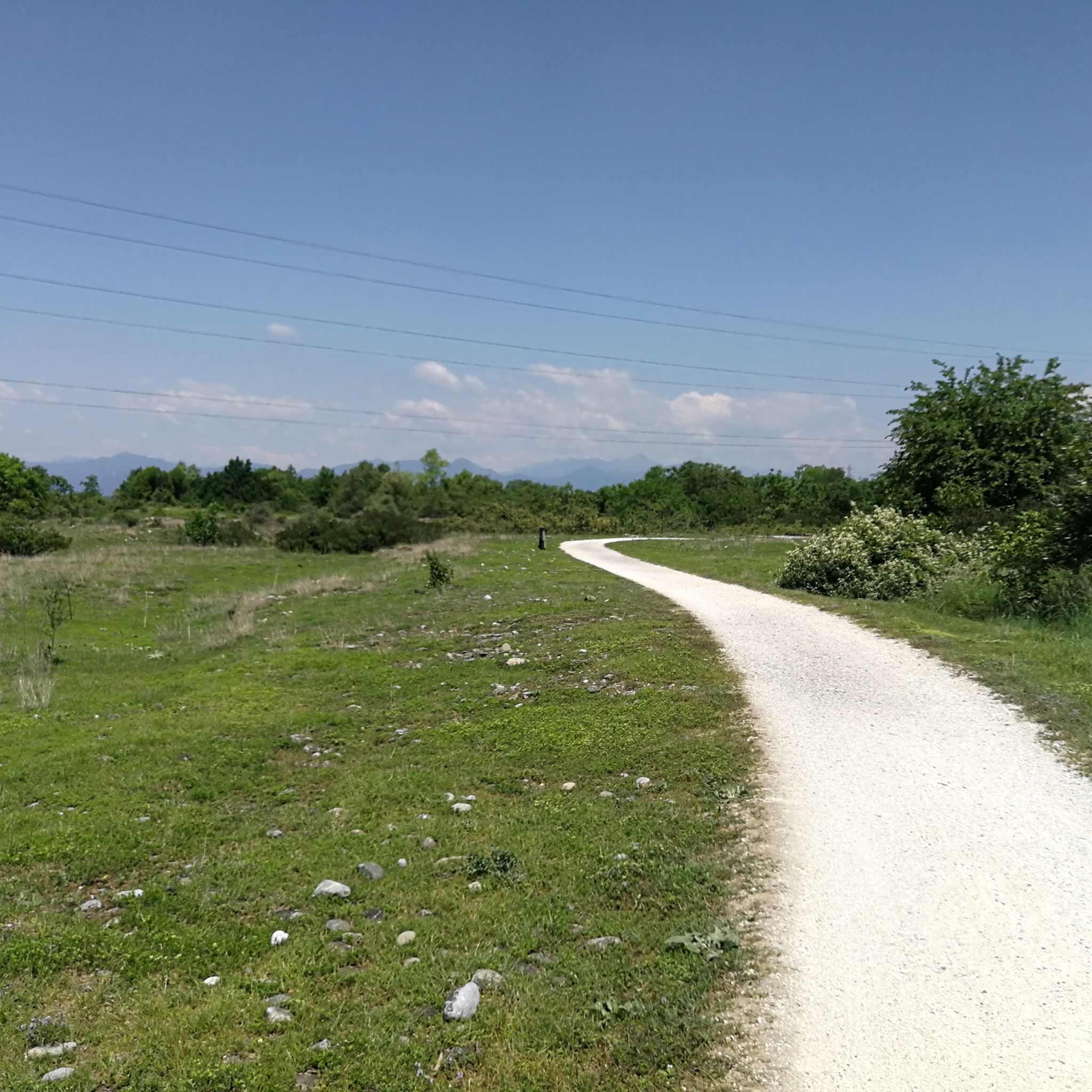
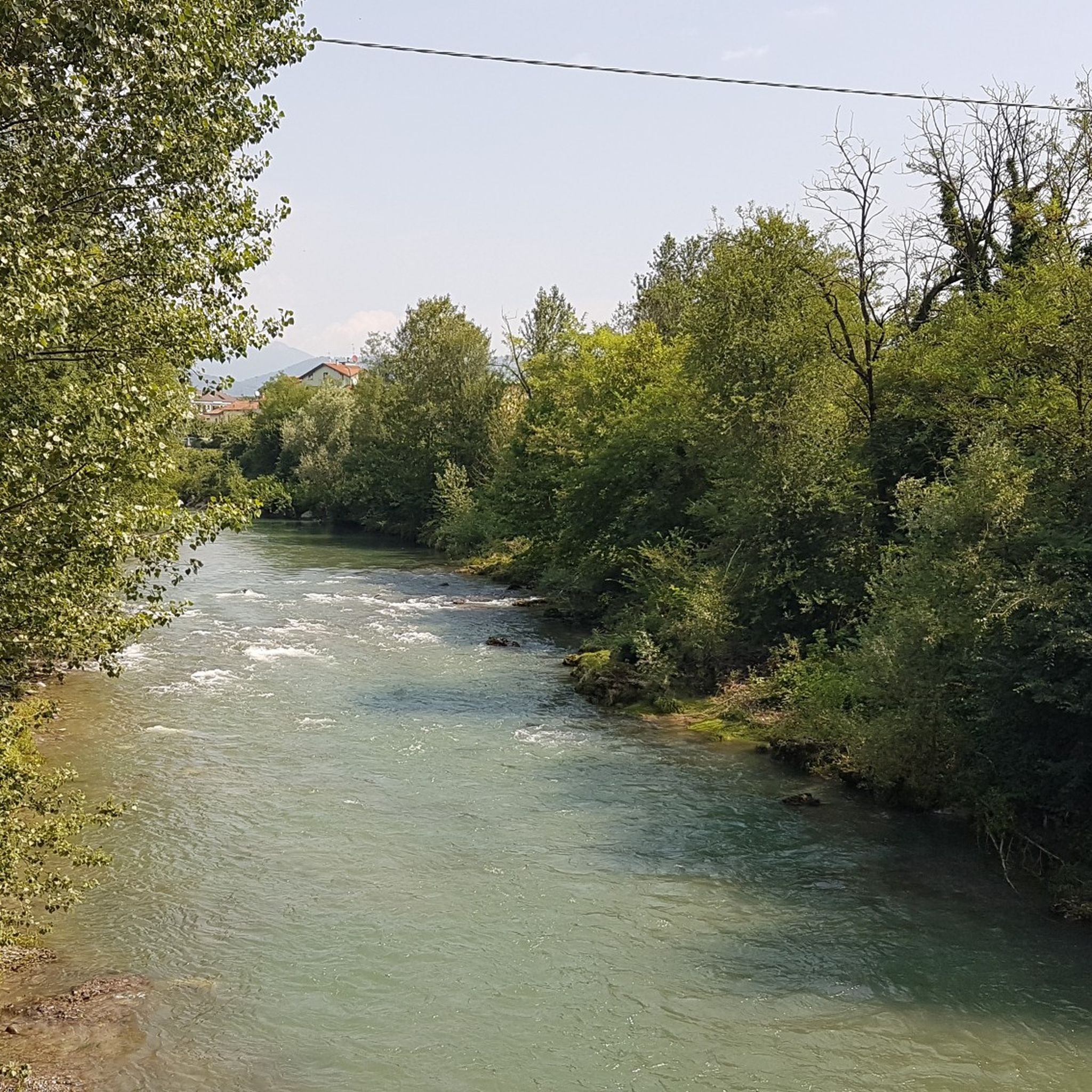
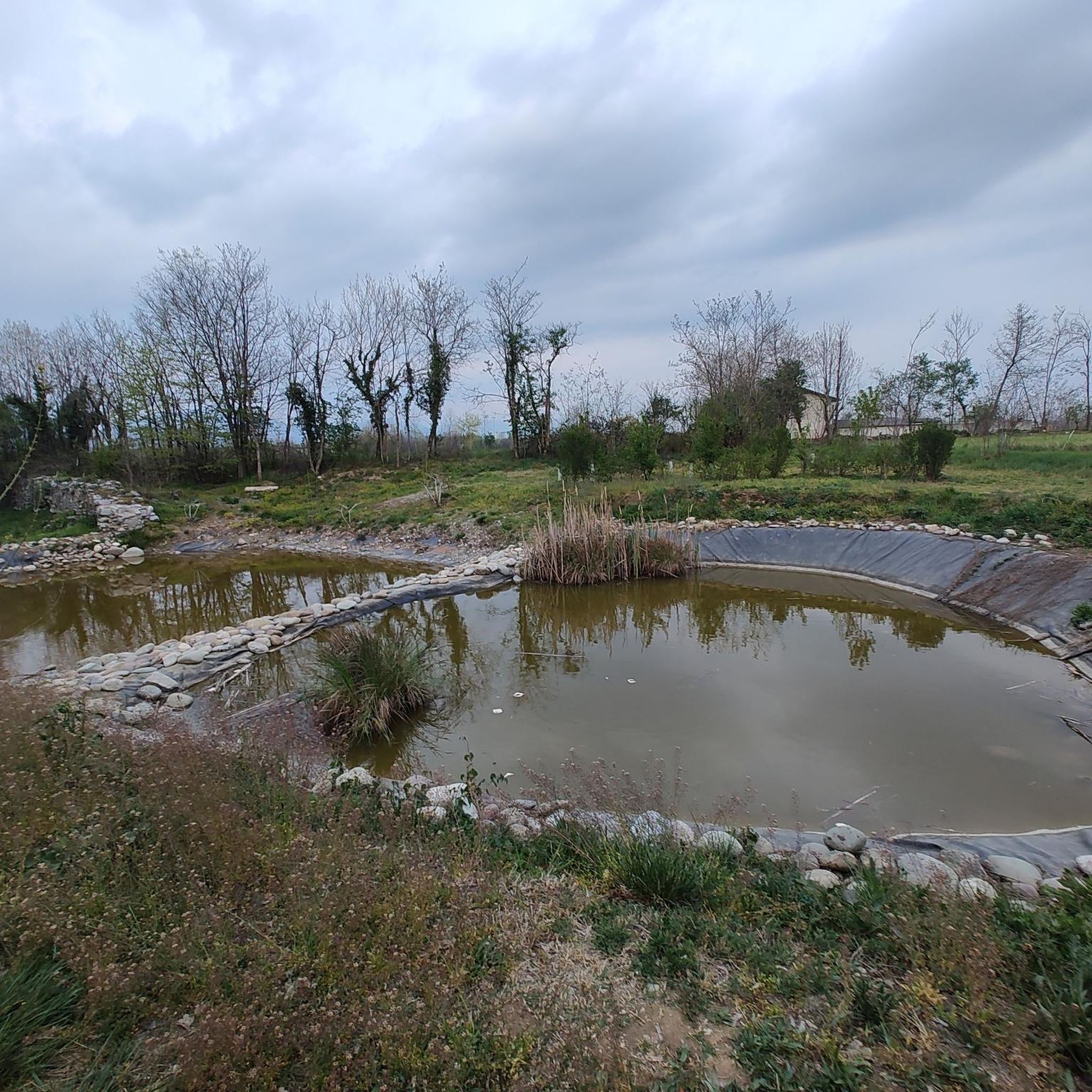
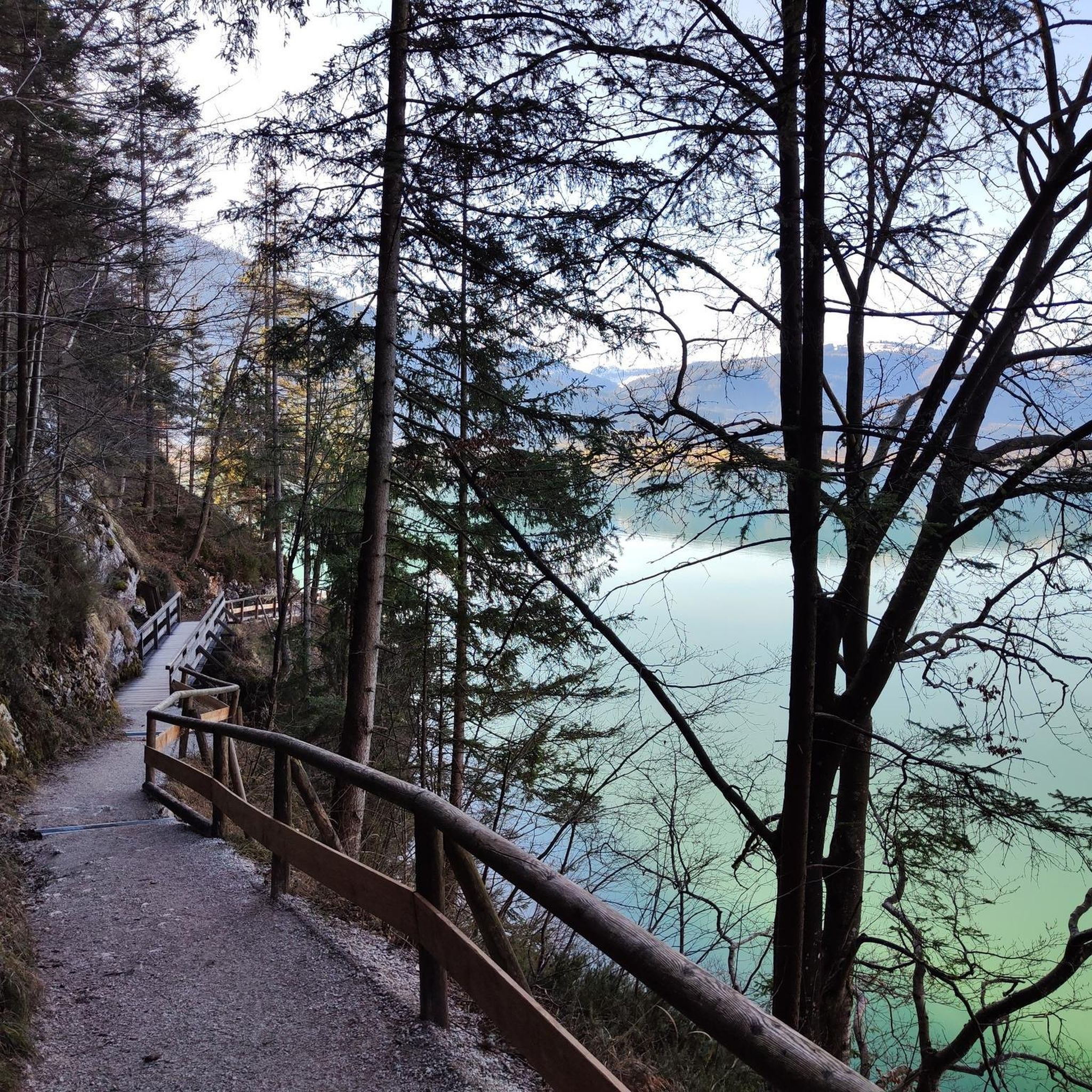
コミュニティからのヒント

セーリオ川は、全長124キロメートルのイタリアの主要な川で、ロンバルディア州を完全に流れ、ベルガモ県とクレモナ県を横断しています。オロビア・アルプス山脈のトレナ山で源を発し、ボッカセーリオ(モントディネ市の集落)でアッダ川に合流してその経路を終えます。
0
0

Porta San Giacomo: The most scenic, recognizable by its white/pink marble, facing south. Porta Sant'Agostino: Located to the east, it is one of the main entrances for those coming from Lower Bergamo. Porta Sant'Alessandro: Located to the west, near the panoramic area overlooking the valley. Porta San Lorenzo (or Porta Garibaldi): Located to the north.
0
0


From Bergamo, a cycle path starts that climbs up to the municipality of Val Bondione in the upper Seriana Valley. This stretch is on the border between Gorle and Ranica.
2
0

excellent for bike commuting and racing
0
0

Funicular from 1912 to the San Vigilio hill; on the way to the Castello you pass the mountain station.
3
0

One of the two neoclassical monuments called propylaea. Behind them you can see the upper city of Bergamo
1
0

komootモバイルアプリでインスピレーションを得よう


さらに探索
他の地域の最高のランニングトレイル & ルートを見てみましょう。
