ルッピヒテロートのおすすめウォーキング&ハイキングルート
4.4
(1694)
5,896
ハイカー
206
ハイキング
ルッピヒテロート周辺でのハイキングは、景色を満喫するのに最適な手段のひとつですが、適切なハイキングルートを見つけることは簡単ではありません。 ルッピヒテロート周辺の人気ハイキング&ウォーキングコースを参考にすれば、行きたいルートをすぐに見つけられます。
最終更新日: 8月 23, 2026
4.6
(406)
1,361
ハイカー
11.6km
03:15
230m
230m
中程度のハイキング. ある程度のフィットネスレベルが必要です。 全般的に進みやすいルートです。安定して歩行できる技術が必要です。
4.4
(88)
286
ハイカー
7.08km
02:02
170m
170m
中程度のハイキング. ある程度のフィットネスレベルが必要です。 進みやすいルートです。あらゆるスキルレベルに適しています。

無料新規登録
4.6
(87)
264
ハイカー
6.44km
01:48
120m
120m
初級者向けハイキング. あらゆるフィットネスレベルに適しています。 進みやすいルートです。あらゆるスキルレベルに適しています。
4.7
(80)
237
ハイカー
6.01km
01:40
110m
110m
初級者向けハイキング. あらゆるフィットネスレベルに適しています。 進みやすいルートです。あらゆるスキルレベルに適しています。
4.8
(44)
133
ハイカー
14.2km
04:06
310m
310m
難しいハイキング. ある程度のフィットネスレベルが必要です。 安定して歩行できる技術、丈夫な靴、高標高地での登山経験が必要です。
さらに多くのルートや他のユーザーのおすすめ情報を確認できます。
無料新規登録
すでにアカウントをお持ちですか?
おすすめのツアーは他のkomootユーザーが実際に経験した何千ものアクティビティに基づいています。
無料アカウントで今日から始めよう
次の冒険が待っています。
ログインまたは登録
ルッピヒテロート周辺で人気
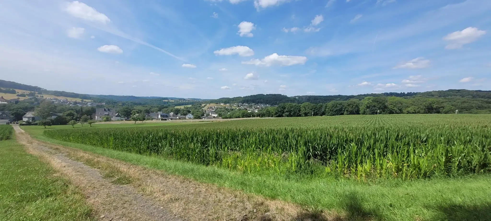
Cologne Trailのストャージのは地生を見ています
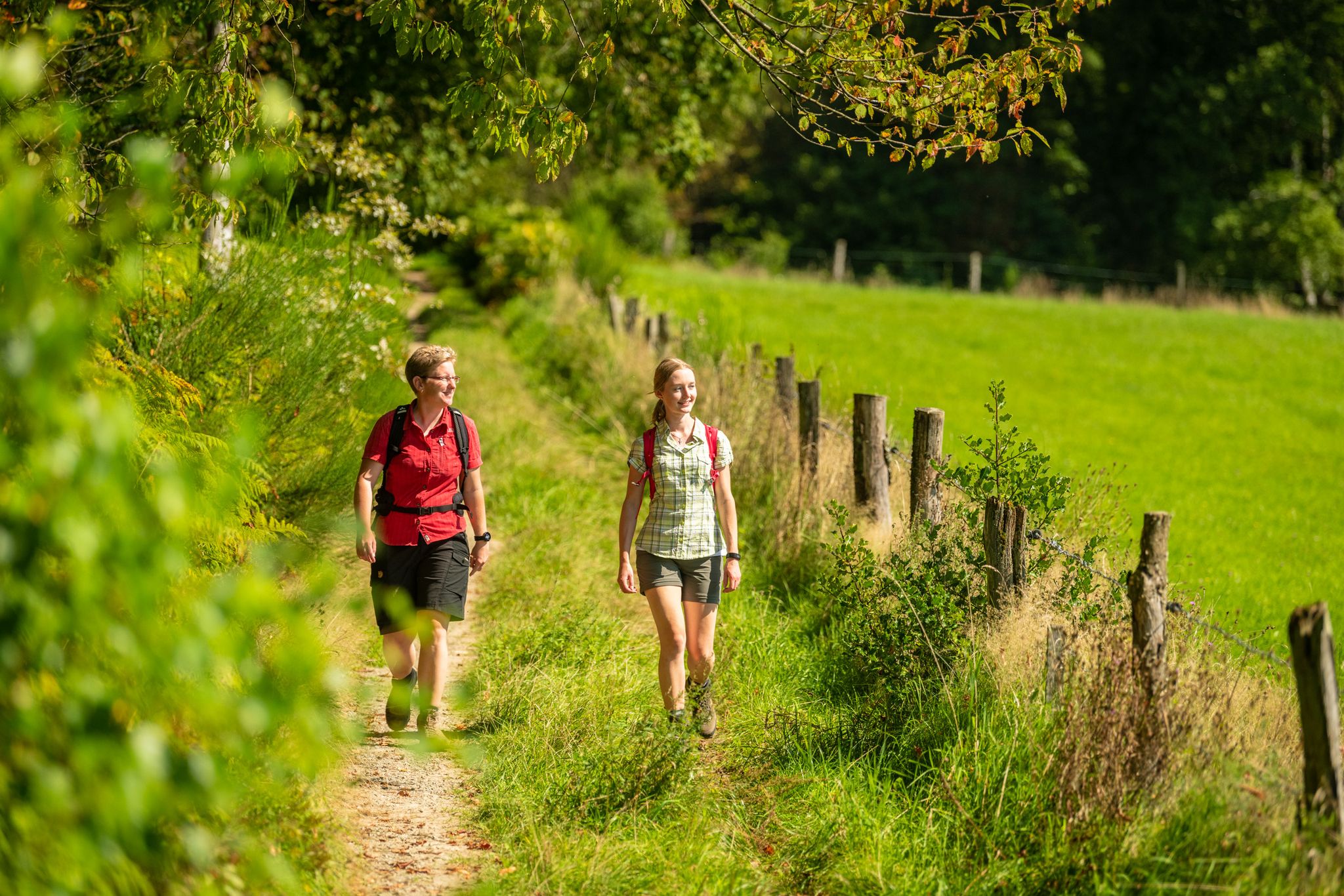
Bergische Rambles – themed and adventure trails in the Bergisches Land region
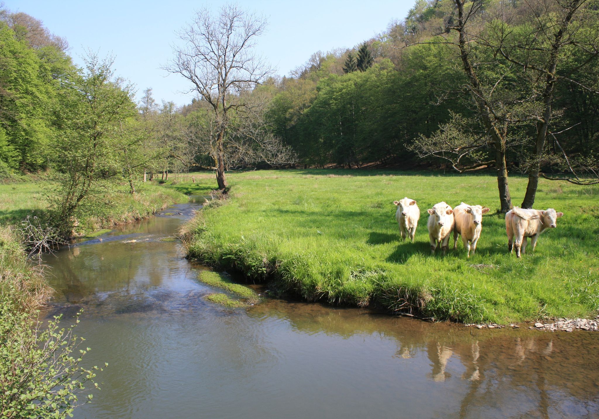
Nature and culture in beautiful landscapes – hikes on the Rhine and Sieg
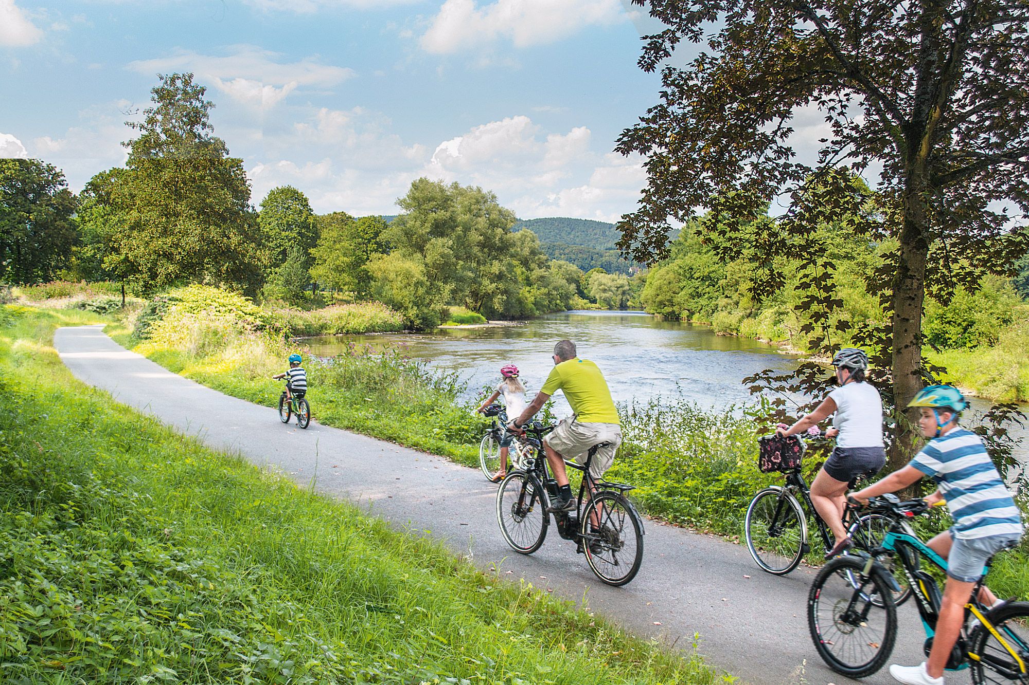
Nature bathing on your bike – beautiful Tours on the Rhine and Sieg
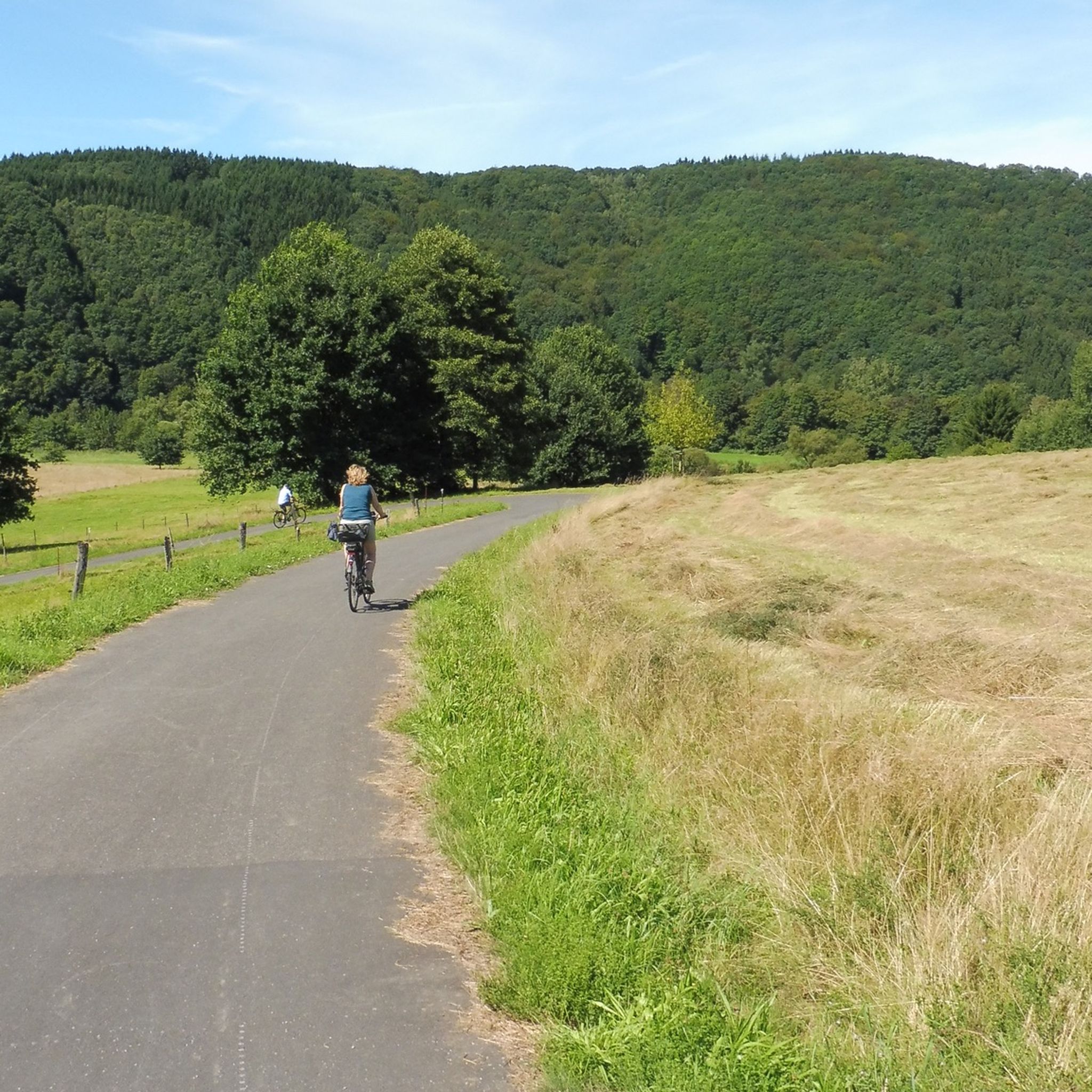
ルッピヒテロートでのサイクリング
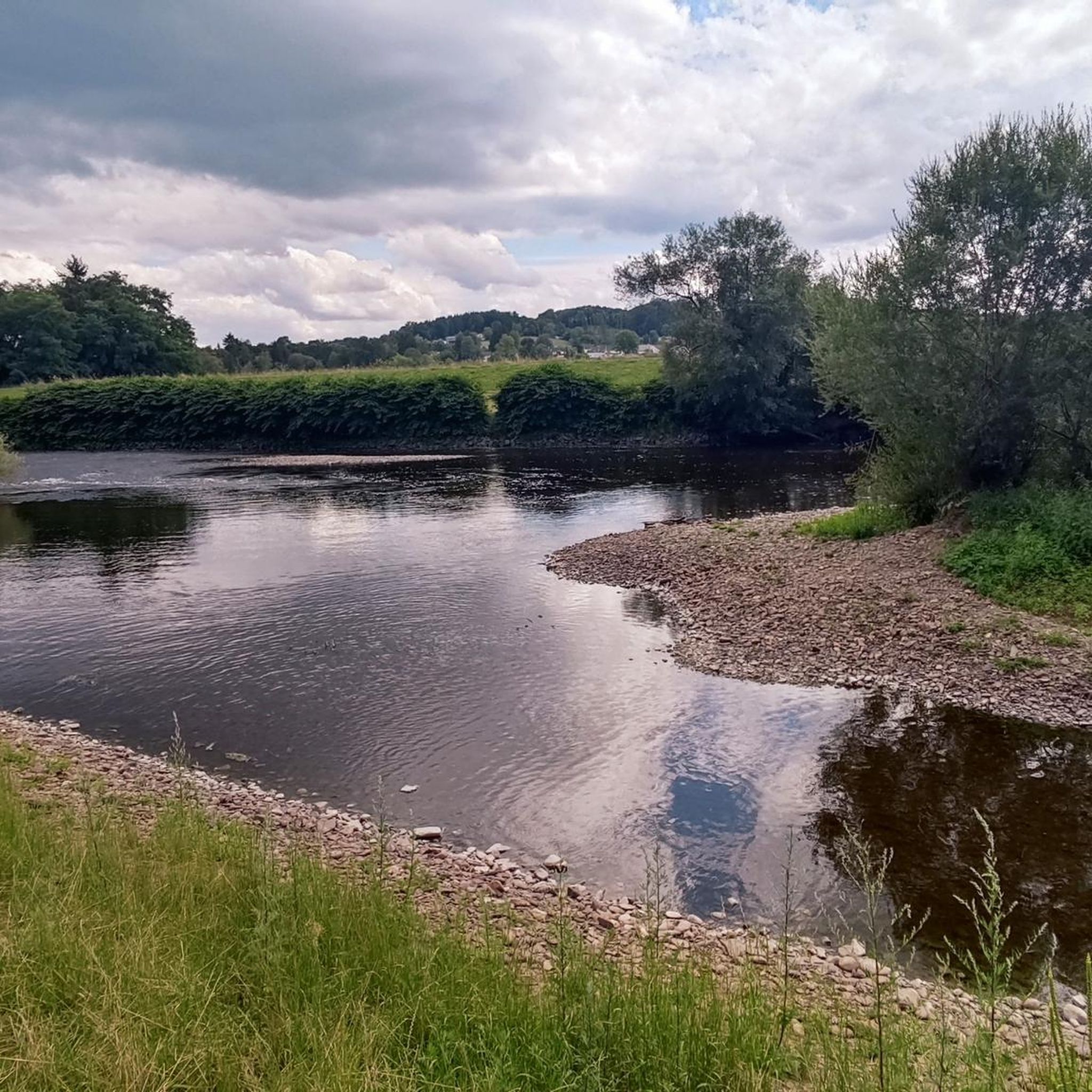
ルッピヒテロートのロードバイクルート
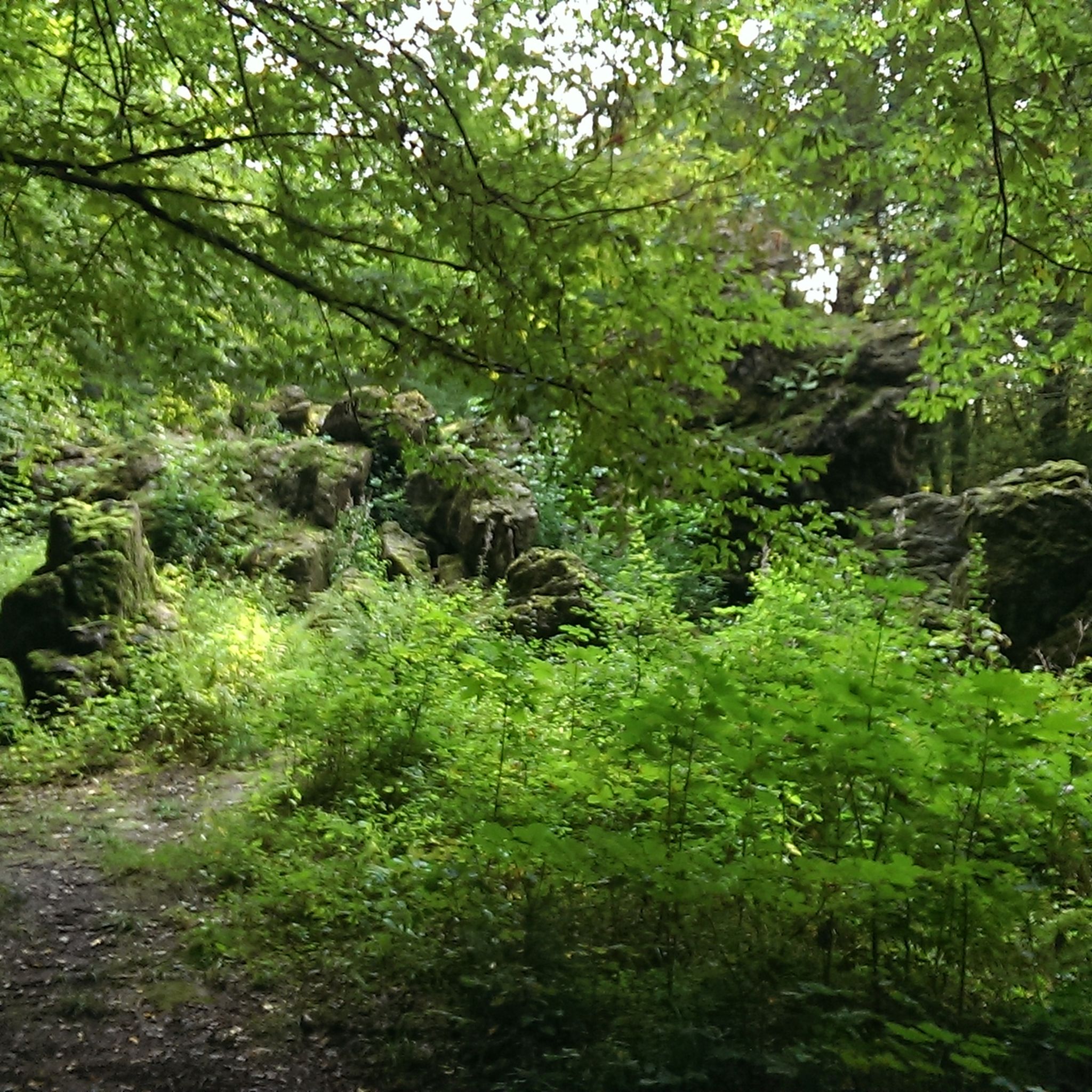
ルッピヒテロートのMTBトレイル
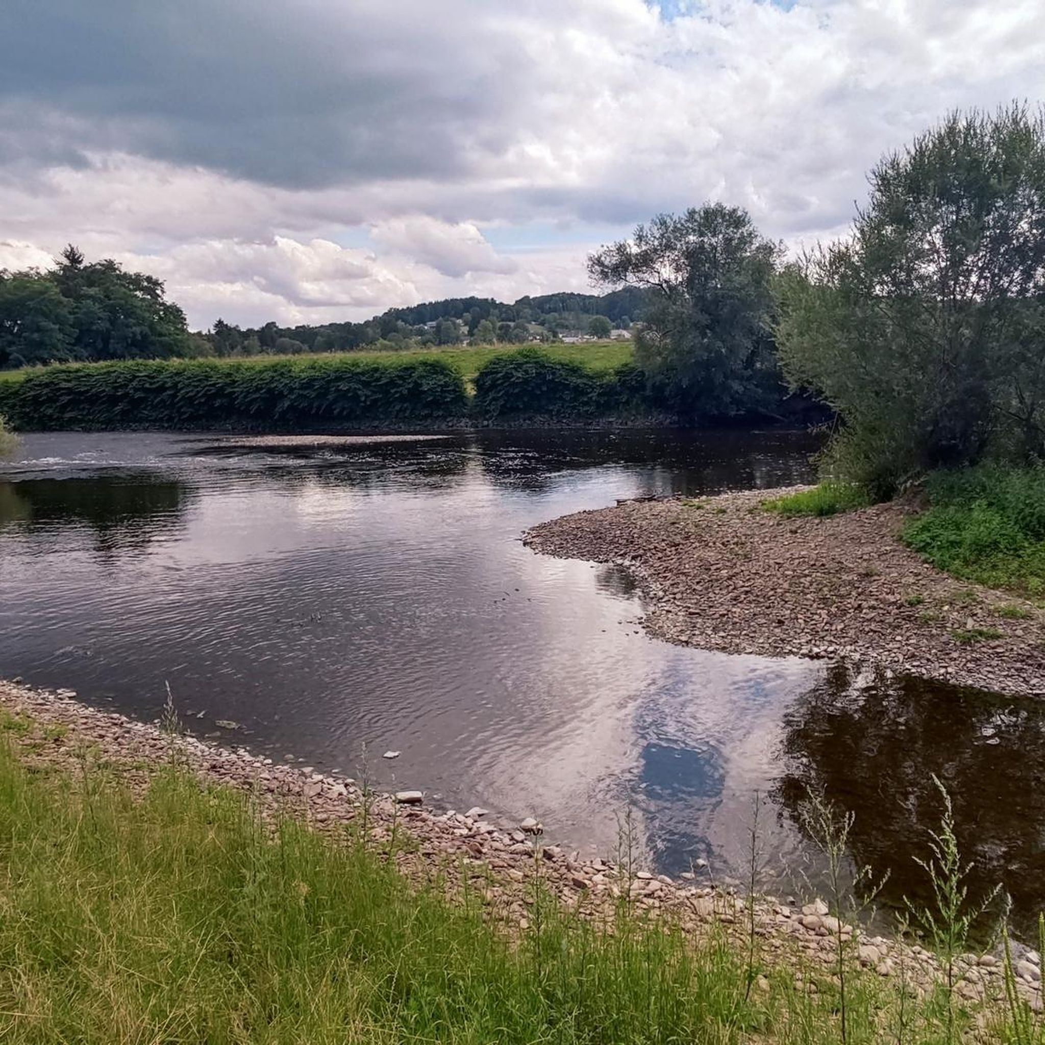
ルッピヒテロートのランニングコース
ルッピヒテロートでののグラベルライド
ルッピヒテロートでの登山&山歩き
ルッピヒテロートでのの他の冒険


コミュニティからのヒント


At Stachelberg, between Hennef and Eitdorf, the Sieg River meanders in sweeping loops through lush floodplains. A well-maintained path leads directly along the Sieg, sometimes close to the bank, sometimes high on the steep bank clinging to the rocks. Everywhere you have wonderful views of the tranquil landscape, allowing you to breathe deeply and let your mind wander.
2
0
At Stachelberg, between Hennef and Eitdorf, the Sieg River meanders in sweeping loops through lush floodplains. A well-maintained path leads directly along the Sieg, sometimes close to the bank, sometimes high on the steep bank clinging to the rocks. Everywhere you have wonderful views of the tranquil landscape, allowing you to breathe deeply and let your mind wander.
4
0

"Mossy Hollow" in the context of the Bergisches Land region does not refer to a real place, landmark, or café of that name. Instead, it refers to: Nightingale – Murder in the Mossy Hollow Lodge: a cozy crime novel set in the "Mossy Hollow Lodge." The author, Christine Brandt, lives in the Bergisches Land, which explains the connection between the fictional name and the region.
0
0
A relic from a bygone era. What looks like a tall chair for giants is actually a built-in resting place for farmers who used to bring their grain in sacks to the mill in Herrenstein, rest here, and put the sack down on the "chair," thus relieving their shoulders and backs.
0
0

This is a very beautiful valley.
0
0
A very beautiful trail above the Sieg River. You get quite close to the river in places, but in summer, you can't see much of it because of all the greenery.
3
0

komootモバイルアプリでインスピレーションを得よう


さらに探索
他の地域の最高のハイキングを見てみましょう。
