4.5
(482)
1,587
ハイカー
46
ハイキング
プレラ周辺でのハイキングは、景色を満喫するのに最適な手段のひとつですが、適切なハイキングルートを見つけることは簡単ではありません。 プレラ周辺の人気ハイキング&ウォーキングコースを参考にすれば、行きたいルートをすぐに見つけられます。
最終更新日: 7月 20, 2026
5.0
(1)
1
ハイカー
13.7km
04:39
610m
610m
Hike the moderate 8.5-mile Vasia Hamlets Historic Loop with sea views, gaining 2015 feet through historic hamlets and viewpoints.
3
ハイカー
10.0km
03:24
480m
480m
Ancient merchant paths linking hilltop villages with Romanesque bridges over crystal-clear mountain streams.

無料新規登録
4.3
(14)
34
ハイカー
7.56km
02:36
360m
360m
中程度のハイキング. ある程度のフィットネスレベルが必要です。 全般的に進みやすいルートです。安定して歩行できる技術が必要です。
4.5
(17)
47
ハイカー
12.1km
04:10
610m
610m
中程度のハイキング. ある程度のフィットネスレベルが必要です。 全般的に進みやすいルートです。安定して歩行できる技術が必要です。
4.9
(15)
41
ハイカー
5.80km
02:03
280m
280m
中程度のハイキング. ある程度のフィットネスレベルが必要です。 全般的に進みやすいルートです。安定して歩行できる技術が必要です。
さらに多くのルートや他のユーザーのおすすめ情報を確認できます。
無料新規登録
すでにアカウントをお持ちですか?
おすすめのツアーは他のkomootユーザーが実際に経験した何千ものアクティビティに基づいています。
無料アカウントで今日から始めよう
次の冒険が待っています。
ログインまたは登録
Piazza with a wonderful view, ideal for a rest.
0
0
The charm of the mountain village of Valloria, which is part of Prelà and is surrounded by olive groves, enchants everyone. Artists have painted the village's front doors. Paolo's restaurant next to the church offers good coffee and tasty meals. And WiFi.
0
0
Certainly one of the most famous towns in the area due to the excellent idea, had some time ago, to have the doors of the town painted by famous painters. A tour to see all the works is worth it. An open-air art gallery!
0
0
Adjacent to the cemetery of Vasia, it is the oldest church in the Prelà valley. The sources consulted do not report anything about the possible building existing before the transfer of the area, in 1119, to the Benedictine monks of Lérins, in Provence. The current building is largely due to them: the salient façade, the structure with three naves, the square apse and the external bell tower seem to date back to the late 12th century. In 1453 the church became part of the priory of San Michele di Ventimiglia. The monks ceded all the properties to the consuls of Vasia in 1563. In the 17th century the church was partly restructured in modern forms. The bell tower was lowered at an unspecified time.
0
0
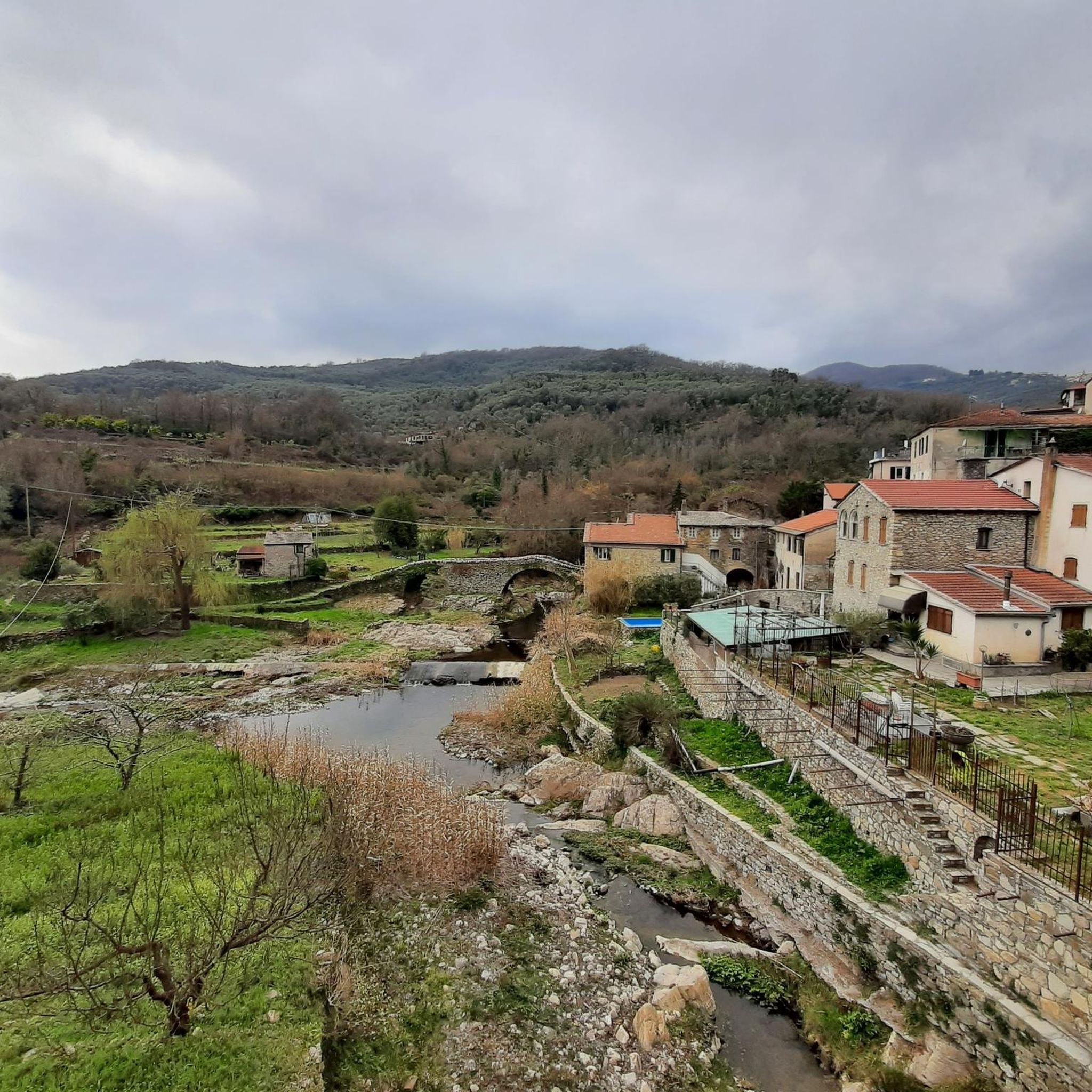
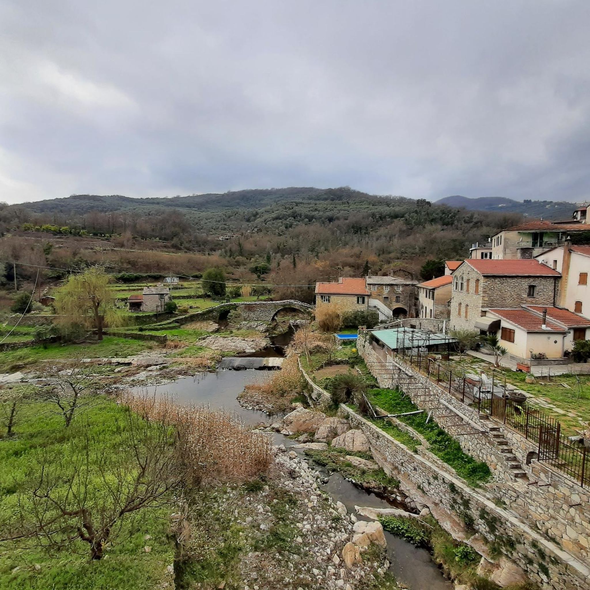
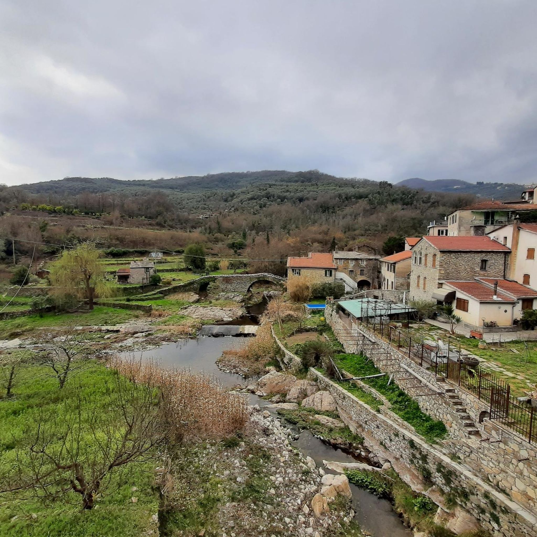
Note the beautiful Romanesque bridge over which the trail passes arriving from Villatalla. From the lake side perfect for photos
0
0
center of the village of Villatalla, the waypoint is useless as it is placed, but nearby you can visit the village church, with a wonderful wooden organ from the 17th century
0
0
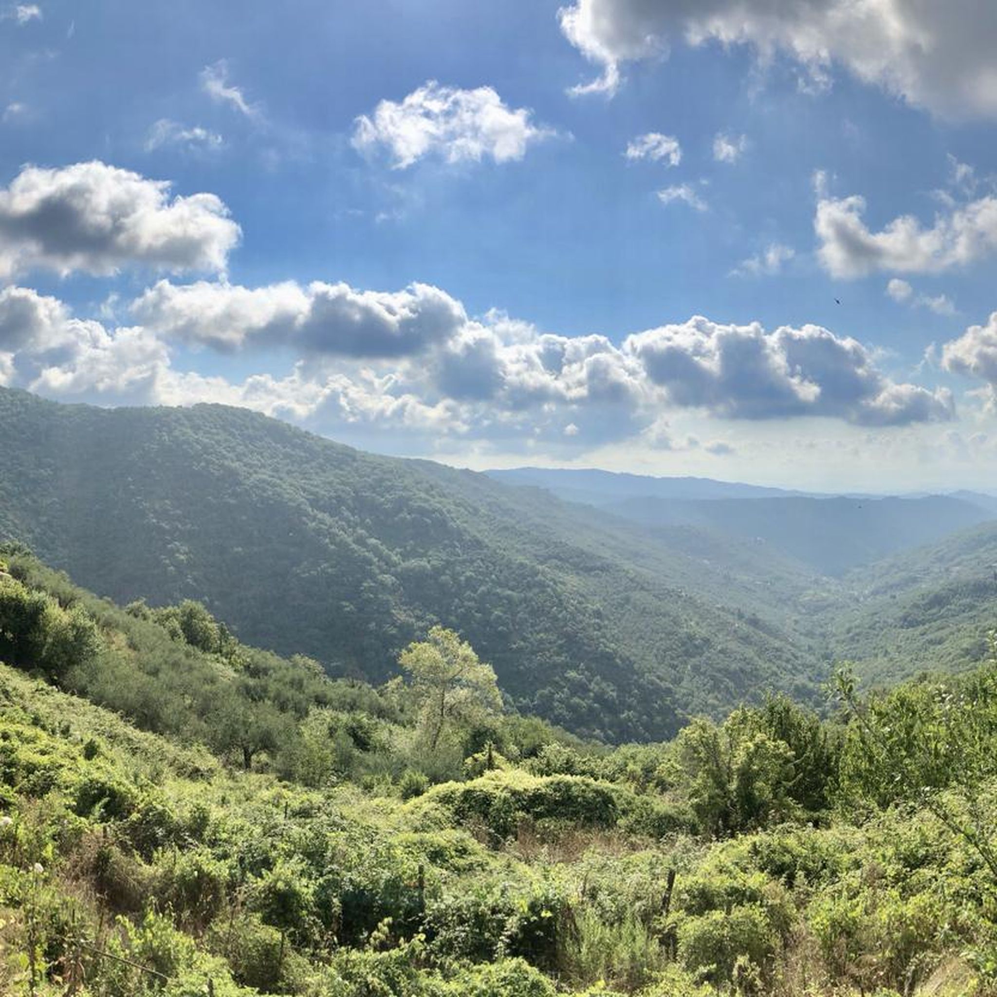
this church, nestled halfway between the top of Mount Faudo and Tavole is particularly pretty. It overlooks a unique view. There are wild horses in the area. Not far away, half hidden, among the houses of the village behind the church there is still a fountain if you need water.
0
1
Villatalla: of origin perhaps prior to the Roman occupation. The toponyms with the Semitic-Aryan root "tala", "tel", "tula" which means "mountain, support" date back to the first inhabitants of the area. The toponym for some is of Provençal origin "little bicocca" or fortress, castle, located on the top of the mountain. ·- for observation, defense, fortress, etc., for others it means "flowered villa" from talia which in Greek means flowered, but for the majority, and most probably with a certain foundation, Villa della Vallata from a total German etymology. .. Wilhelm-thal, from the Lombard thal. Its parish church, already separated from the matrix of S. Giacomo di Prela in 1341, it was dedicated to S. Michele Arcangelo, a favorite saint of the Lombards, to whom they attributed their victory of Siponto in 663 over the Saracens. Worth noting: until the 17th century the Piedmontese used to call the Western Ligurians "i ficoni" or eaters. planters, fig traders. In Villatalla an area behind the parish church is still called "vizzai" because in those lands the "vizze" (weaving of reeds) were placed with the figs on top to dry in the sun. From a cycling perspective, however, the view is worth all the effort to get to the town.
0
0


他の地域の最高のハイキングを見てみましょう。