カステッラーロのおすすめウォーキング&ハイキングルート
4.5
(1902)
7,197
ハイカー
12
ハイキング
カステッラーロ周辺でのハイキングは、景色を満喫するのに最適な手段のひとつですが、適切なハイキングルートを見つけることは簡単ではありません。 カステッラーロ周辺の人気ハイキング&ウォーキングコースを参考にすれば、行きたいルートをすぐに見つけられます。
最終更新日: 10月 10, 2026
5.32km
02:21
500m
510m
中程度のハイキング. ある程度のフィットネスレベルが必要です。 進みやすいルートです。あらゆるスキルレベルに適しています。
4.0
(1)
1
ハイカー
19.7km
07:14
1,170m
1,160m
難しいハイキング. 標準以上のフィットネスレベルが必要です。 安定して歩行できる技術、丈夫な靴、高標高地での登山経験が必要です。

12.6km
04:10
570m
570m
難しいハイキング. ある程度のフィットネスレベルが必要です。 安定して歩行できる技術、丈夫な靴、高標高地での登山経験が必要です。
4.3
(4)
21
ハイカー
19.0km
06:35
950m
950m
難しいハイキング. 標準以上のフィットネスレベルが必要です。 全般的に進みやすいルートです。安定して歩行できる技術が必要です。
4.0
(3)
12
ハイカー
12.9km
04:15
600m
600m
中程度のハイキング. ある程度のフィットネスレベルが必要です。 全般的に進みやすいルートです。安定して歩行できる技術が必要です。
さらに多くのルートや他のユーザーのおすすめ情報を確認できます。
すでにアカウントをお持ちですか?
おすすめのツアーは他のkomootユーザーが実際に経験した何千ものアクティビティに基づいています。
無料アカウントで今日から始めよう
次の冒険が待っています。

コミュニティからのヒント

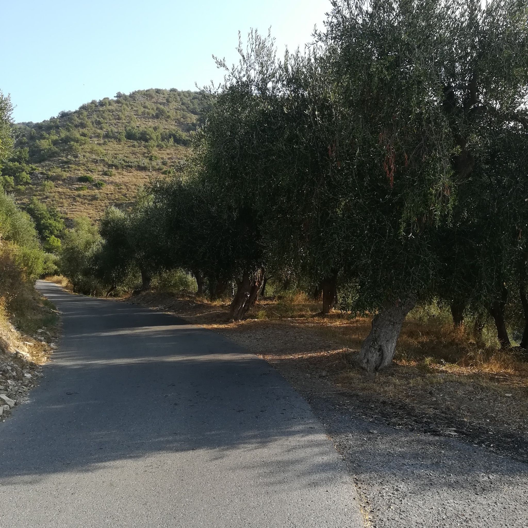
古代の休火山、悪名高いナチス・ファシストの虐殺の場所、古代の城跡の場所。短い散歩で多くの歴史。
0
0

Pietrabrunaの名前は、11世紀末に最初の建物を建てるために使用された石の色に由来しています
1
0
There's something mystical about Mount Faudo: a trail of ancient stories, far back in time. Today, it's best known for the marathon trail that climbs from Imperia to its summit and for the antennas dotting it; yet for centuries, it was a contested land between the church, neighboring states, and the villages on its slopes. Since the ancient Ligurians, well before the Romans. It shares this burden with Mount Follia and Mount Sette Fontane. The oldest evidence of human settlement in the Dolcedo area is near Mount Follia, a conical peak on the southern slope of Mount Faudo. Traces of metalworking have emerged there, with furnaces and residential structures, dating back to the Iron Age castellari, fortifications placed high up for observation and defense, in visual contact with other castellari in the area. Today, the site is abandoned: one can still walk and imagine the defensive landscape of the ancient Ligurians.
0
0
There's something mystical about Mount Faudo: a trail of ancient stories, far back in time. Today, it's best known for the marathon trail that climbs from Imperia to its summit and for the antennas dotting it; yet for centuries, it was a contested land between the church, neighboring states, and the villages on its slopes. Since the ancient Ligurians, well before the Romans. It shares this burden with Mount Follia and Mount Sette Fontane. The oldest evidence of human settlement in the Dolcedo area is near Mount Follia, a conical peak on the southern slope of Mount Faudo. Traces of metalworking have emerged there, with furnaces and residential structures, dating back to the Iron Age castellari, fortifications placed high up for observation and defense, in visual contact with other castellari in the area. Today, the site is abandoned: one can still walk and imagine the defensive landscape of the ancient Ligurians.
1
0

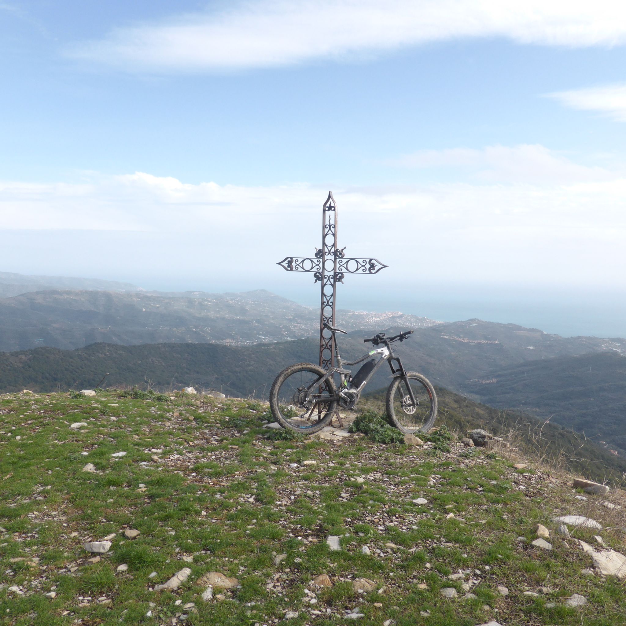
The summit cross that crowns Monte FAUDO loses its effect as the crowning glory of the mountain due to its immediate surroundings: This mountain peak is obviously also a radio station, because antenna masts in the immediate vicinity tower significantly above the summit cross and unfortunately deprive this small sacred monument of its visual impact.
1
0
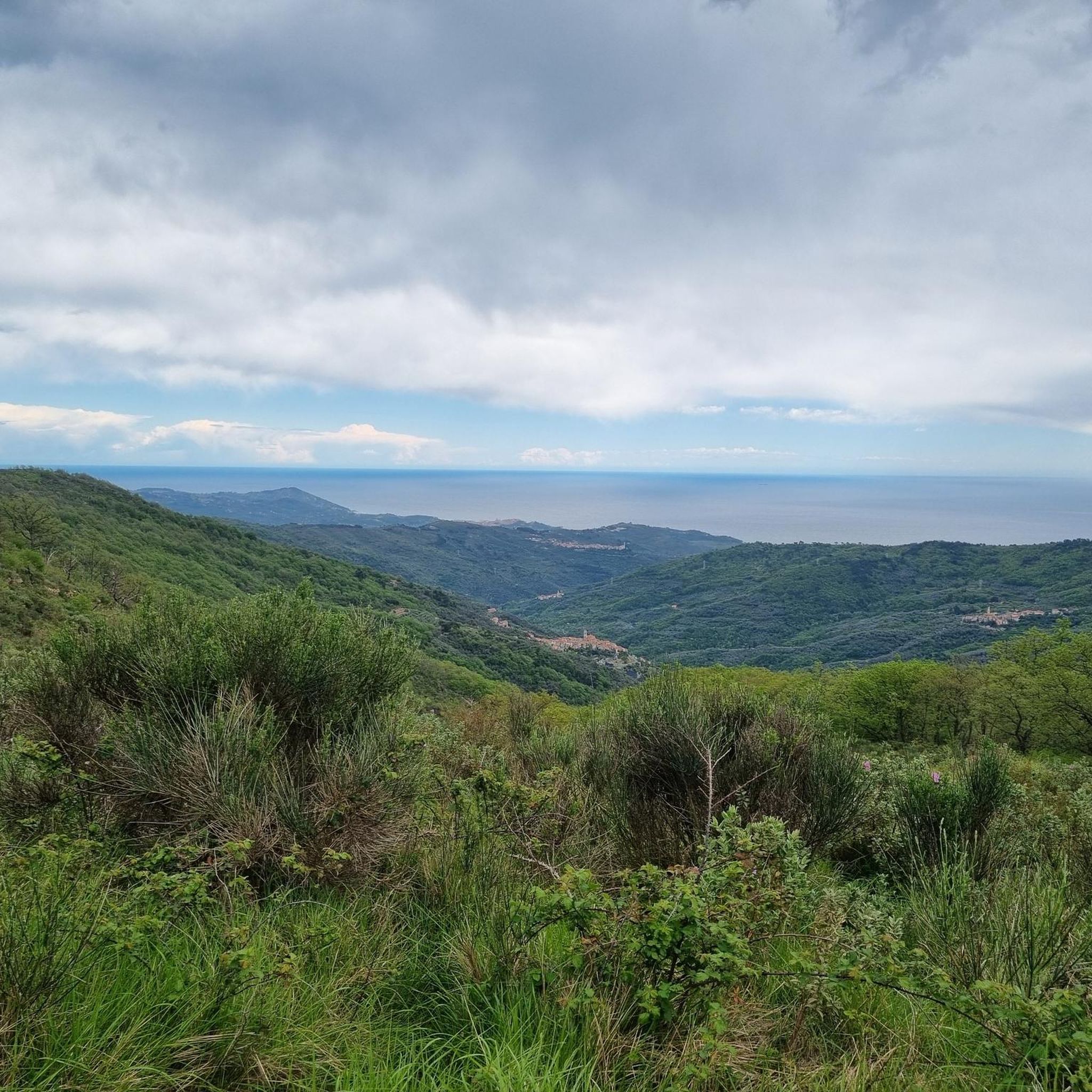
Monte Faudo, a word that seems to derive from the Arabic word "faud" or lighthouse, which the Saracens would have installed on the top of the mountain considering that, from that height, the view embraces a vast extension of the territory. The massif of Mount Faudo has always represented in ancient times a center around which relationships took place between the Ligurians of the Taggia valley (of Taggia) with those of the Imperia valleys; it is easily accessible from Taggia, from Badalucco, from Montalto, from Boscomare, from Pietrabruna, from Tavole, from Valloria.
1
0
a small and very ancient frescoed chapel, located at the crossroads of the roads to Pietrabruna, the Sanctuary of Lampedusa, Boscomare and the top of Faudo. Inside there are some rather ruined frescoes dating back to 1481. The church is a rare example of architectural separation that was once common, intended to separate the men's area from the women's area.
0
0

komootモバイルアプリでインスピレーションを得よう


さらに探索
他の地域の最高のハイキングを見てみましょう。
