ペンシルベニアのおすすめMTBライド
4.6
(228)
4,181
ライダー
344
ライド
ペンシルベニアでマウンテンバイクを楽しめば、アメリカ合衆国のこのエリアをより深く知ることができます。このエリアを最大限に満喫できるように、komootがマウンテンバイクルートのコレクション全体を評価して選び抜いた人気ルートをご紹介します。次の冒険にぴったりのマウンテンバイクルートを見つけるには、以下のルートをクリックしてkomootのマウンテンバイクコミュニティのメンバーが投稿した役立つ情報や写真を閲覧し、各ルートに関してみんなが気に入った点などを参考にしましょう。
最終更新日: 9月 27, 2026
5.35km
00:17
10m
60m
Embark on an easy mountain biking journey along the Enola Low Grade, stretching 3.3 miles (5.4 km) from Martic Forge to Safe Harbor. This route offers a gentle ride with…
6.55km
00:22
10m
10m
This easy mountain biking route on the Great Allegheny Passage offers a gentle ride through continuously changing scenery. You'll follow rivers, pass through rural forests, and enjoy picturesque waterside views,…

4.5
(4)
135
ライダー
28.2km
02:32
390m
390m
The Wissahickon Orange and Yellow Trail Loop offers a rugged mountain biking adventure through varied terrain, from natural singletrack to challenging rock gardens and roots. You'll navigate short, steep climbs…
4.2
(23)
117
ライダー
13.5km
01:09
100m
100m
The Jay Walk, South Park, Cold Spot, and Hammer Trail offers a truly immersive mountain biking experience through the dense woods of Nockamixon State Park. You'll navigate varied singletrack, from…
5.0
(1)
45
ライダー
9.91km
00:54
150m
150m
The Brian's, Broken Arrow, and Half Pipe Loop offers a delightful mountain biking experience within the Trexler Nature Preserve, featuring a mix of flowing singletrack and fun features. You'll navigate…
4.8
(4)
37
ライダー
19.4km
01:36
180m
180m
Embark on an easy mountain biking adventure on the Blue, Perkiomen, and Red Trail Loop, covering 12.1 miles (19.4 km) with a gentle elevation gain of 597 feet (182 metres).…
4.2
(17)
30
ライダー
12.6km
01:04
100m
100m
If you're looking for a pleasant and accessible mountain biking experience in Chester County, Pennsylvania, the Yellow Trail is a solid choice. This route offers a relaxed ride, winding near…
28
ライダー
18.4km
01:40
280m
280m
The Tussey Mountain Trail Coathanger Loop is a quintessential mountain biking adventure in Rothrock State Forest, renowned for its diverse and demanding terrain. You'll navigate through extensive rock gardens and…
5.0
(1)
23
ライダー
12.7km
01:06
130m
130m
The Blue & Green Trail loop offers an easy mountain biking experience through dense deciduous woodlands, providing pleasant views as you ride. You will navigate trails with roots and rocks,…
4.0
(1)
23
ライダー
11.4km
00:55
120m
120m
This mountain biking route offers a unique blend of experiences, starting with the tranquil, paved East Branch Brandywine Trail that winds through picturesque meadows and shaded woodlands alongside the East…
さらに多くのルートや他のユーザーのおすすめ情報を確認できます。
すでにアカウントをお持ちですか?
おすすめのツアーは他のkomootユーザーが実際に経験した何千ものアクティビティに基づいています。
無料アカウントで今日から始めよう
次の冒険が待っています。
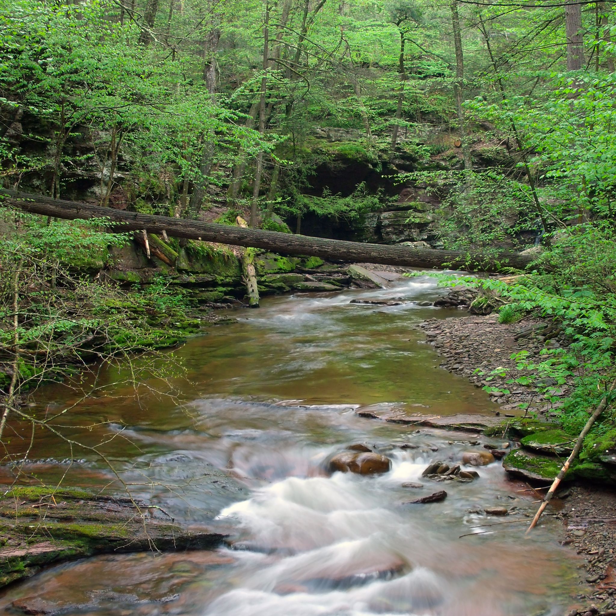

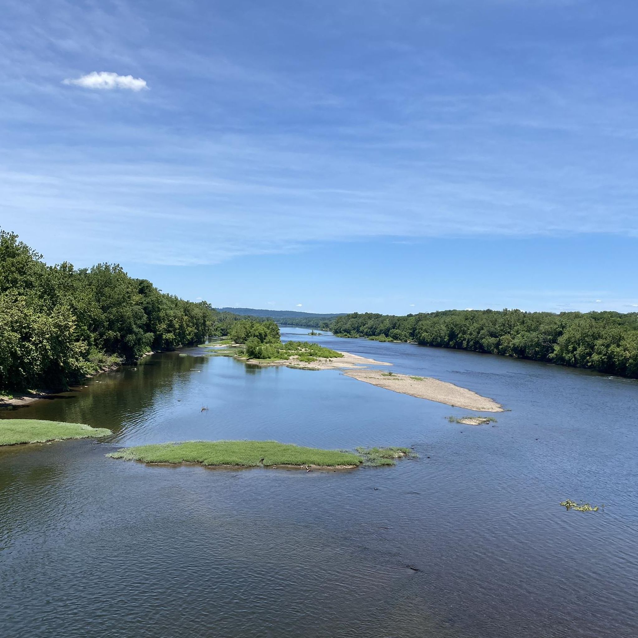
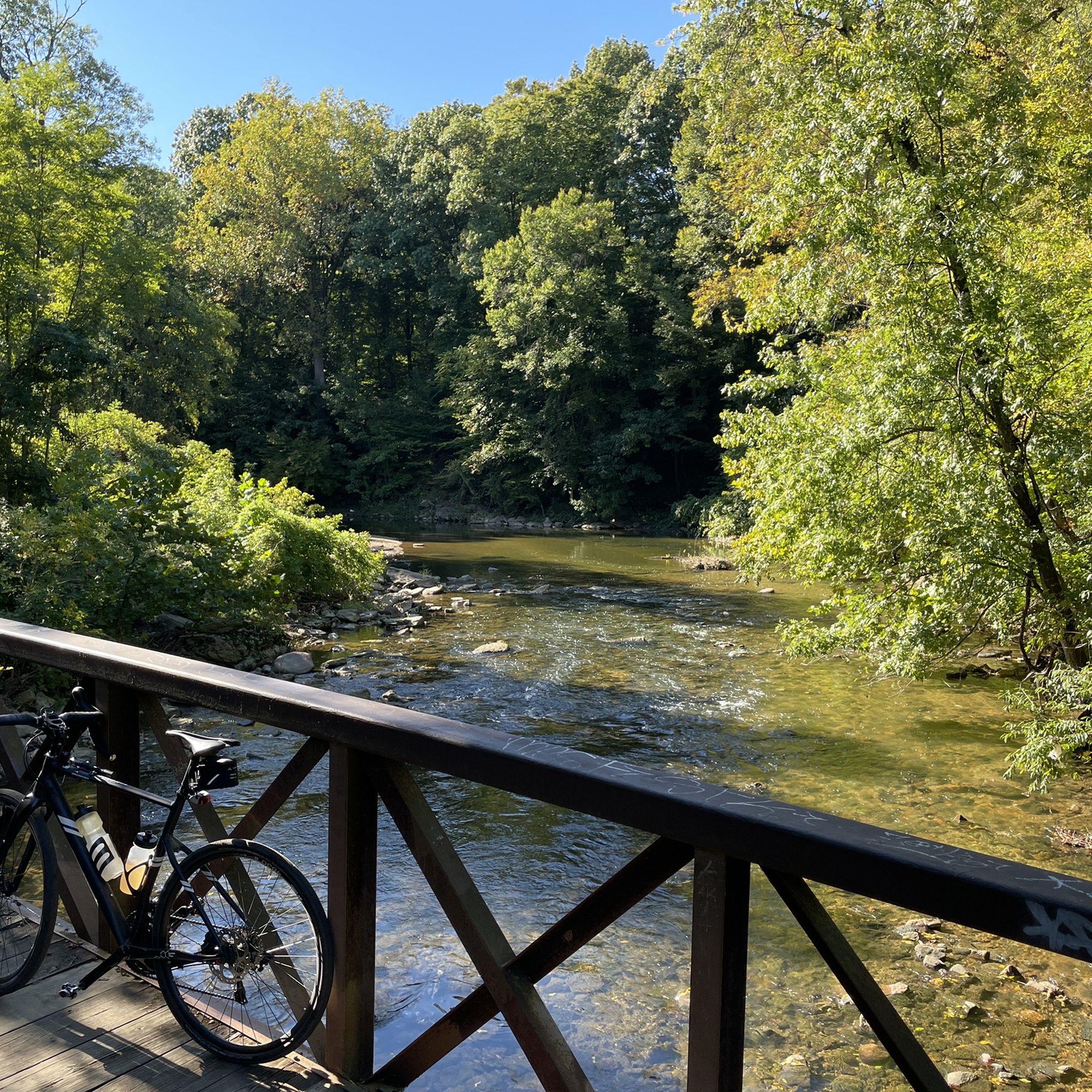
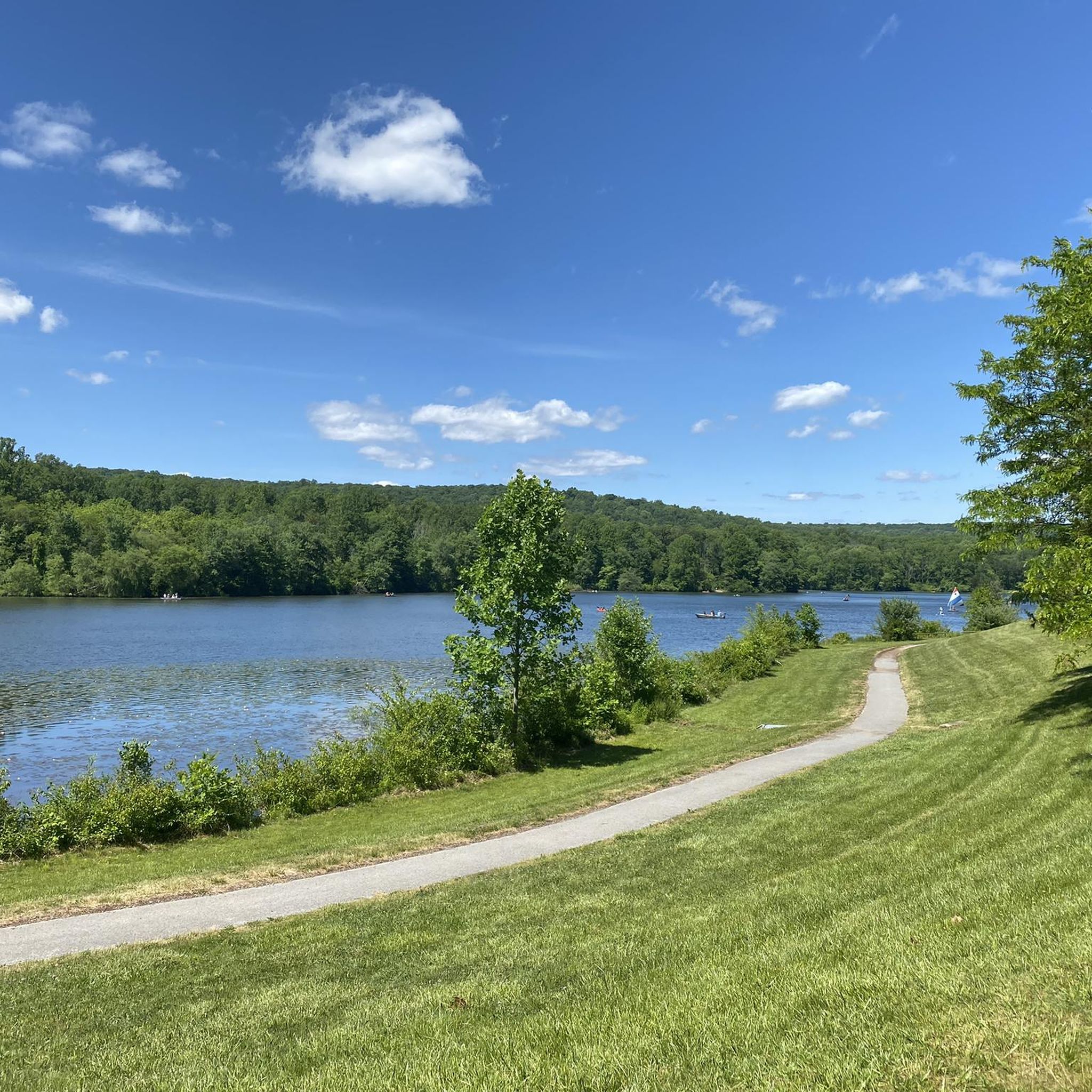
ペンシルベニアでのの他の冒険


コミュニティからのヒント

This is probably the best known trail in Rothrock, and definitely one of the best ridge rides you'll find. Just about anyone should be able to handle this, though less experienced riders may need to walk through a couple of technical sections and rock gardens.
0
0

Bonus Loop, also called Yellow Trail, is a multi-use trail open to hikers and mountain bikers. The trail follows the Carpenter's Cove shoreline. Ride counter-clockwise for a fun time with good flow, and take it clockwise for more of a physical challenge. This trail also connects to other trails in Marsh Creek State Park.
0
0
Marsh Creek Reservoir, a 535-acre man-made lake, was created by damming Marsh Creek. The lake addresses issues of flooding and water shortages and provides recreational opportunities. Marsh Creek State Park sits to the east, and Lyndell to the west. The park is open daily from sunrise to sunset, and the reservoir is a great fishing spot for warm water species, including largemouth bass, channel catfish, black crappie, and panfish.
0
0
Smeagol, also listed as the ALT Trail, is a green-rated trail that follows the East Branch of the Brandywine Creek through some wooded areas. This trail can get busier but leads bikers to the Harmony Hill Nature Area, which has a great variety of green, blue, and black trails, something for everyone.
0
0
Harmony Hill Covered Bridge can be seen from the East Brandywine Trail, where it intersects Harmony Hill Road. It sits .1 miles southwest of this junction. This wooden-covered bridge was built in 1872 and listed on the National Register of Historic Places in 1980.
0
0

Boyce Park is a great place for mountain biking, with around 28 miles of single track trails and a few gravel roads. Most of the trails are green and blue grade. Although during the winter, downhill skiing and snow tubing are popular. The name of the park stems from William Boyce who was the founder of the Boy Scouts and born nearby.
1
0

If you're enjoying the beautiful and fun trails in the area and suddenly come across this point, you might think you're experiencing some hallucination. But no, what you have in front of you is a real beer tap. The downside is that it doesn't work...
2
0

Renowned sculptor John Massey Rhind crafted this impressive 15-foot limestone statue. The sculpture depicts a crouching Native American gazing westward. The statue's name is inspired by a Native American who played a pivotal role as a negotiator between the French, Quakers, and Native Americans during the 1700s.
0
0

komootモバイルアプリでインスピレーションを得よう


探していたものは見つかりませんでしたか?
ペンシルベニアの下にある他のMTBトレイルをチェックして、目的地で完璧なルートを見つけましょう。
さらに探索
他の地域の最高のMTBトレイルを見てみましょう。
