ロードアイランドのおすすめMTBライド
4.3
(29)
452
ライダー
56
ライド
ロードアイランドでマウンテンバイクを楽しめば、アメリカ合衆国のこのエリアをより深く知ることができます。このエリアを最大限に満喫できるように、komootがマウンテンバイクルートのコレクション全体を評価して選び抜いた人気ルートをご紹介します。次の冒険にぴったりのマウンテンバイクルートを見つけるには、以下のルートをクリックしてkomootのマウンテンバイクコミュニティのメンバーが投稿した役立つ情報や写真を閲覧し、各ルートに関してみんなが気に入った点などを参考にしましょう。
最終更新日: 11月 7, 2026
4.0
(2)
28
ライダー
16.1km
01:21
90m
90m
The Big River Management Area loop via the DNA trail offers a fantastic cross-country mountain biking experience, winding through dense forests and past scenic spots like Tarbox Pond. You'll navigate…
16
ライダー
11.6km
00:55
40m
40m


3.0
(1)
10
ライダー
32.7km
02:56
400m
390m
中程度のマウンテンバイクライド. ある程度のフィットネスレベルが必要です。
2
ライダー
15.4km
01:16
100m
100m
2
ライダー
48.6km
02:33
190m
190m
The Washington Secondary Rail Trail offers a varied mountain biking experience, starting with a more urban feel and gradually transitioning into a scenic rural landscape. You'll pedal through shaded forests,…
1
ライダー
The Ring Road loop via New London Turnpike offers a dynamic mountain biking experience through the dense forests of Rhode Island's Big River Management Area. You'll navigate a mix of…
さらに多くのルートや他のユーザーのおすすめ情報を確認できます。
すでにアカウントをお持ちですか?
おすすめのツアーは他のkomootユーザーが実際に経験した何千ものアクティビティに基づいています。
無料アカウントで今日から始めよう
次の冒険が待っています。
ロードアイランド周辺で人気

Washington CountyのMTBトレイル

Kent CountyのMTBトレイル

Providence CountyのMTBトレイル

Newport CountyのMTBトレイル
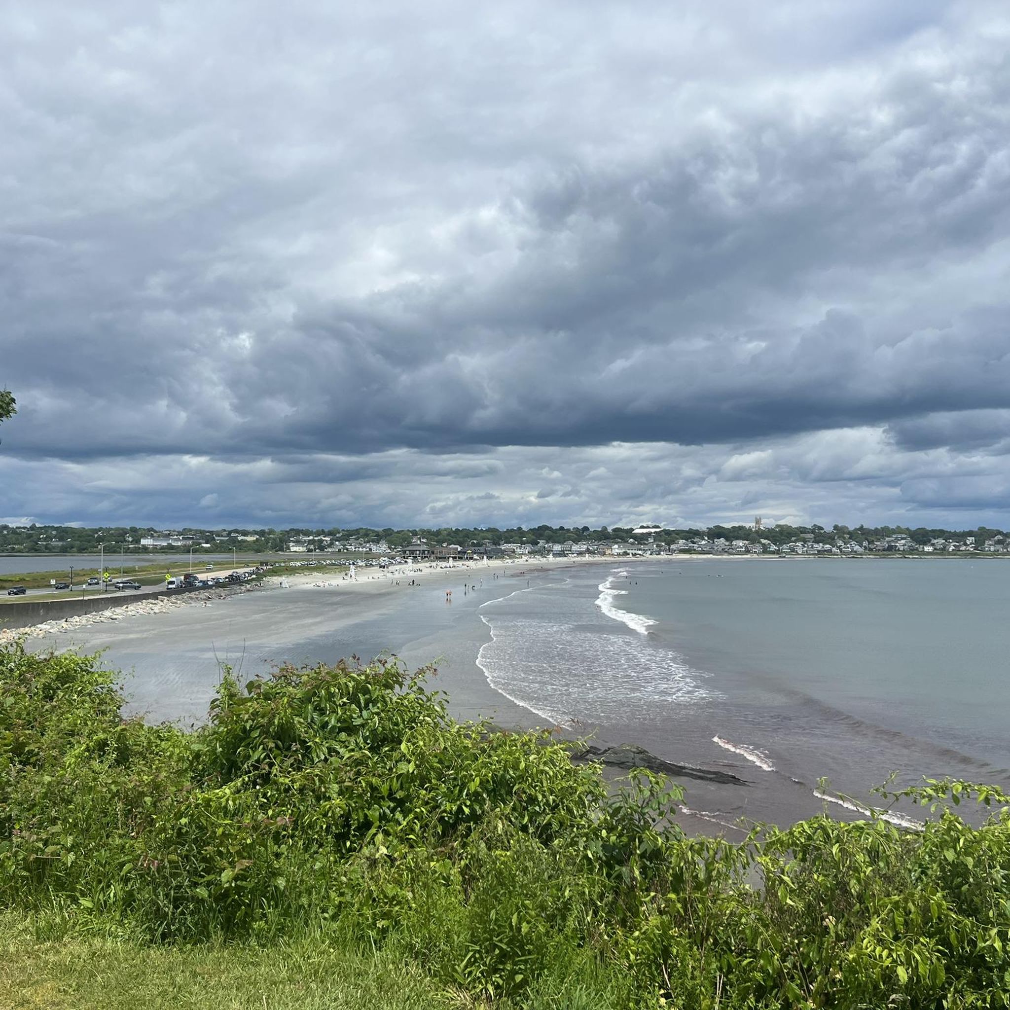
Bristol CountyのMTBトレイル
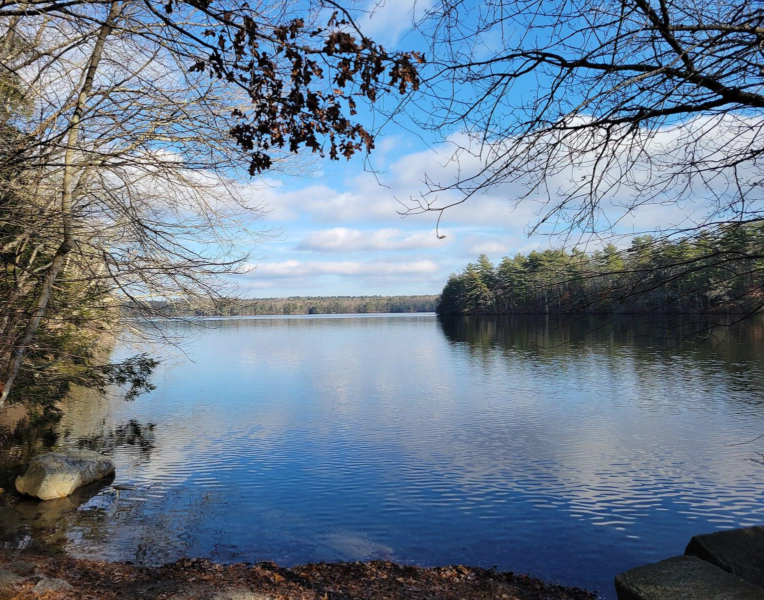
North-South Trail — 最小州の最長のトレイル

On the trail of the Pilgrim Fathers – road trip along the Atlantic coast
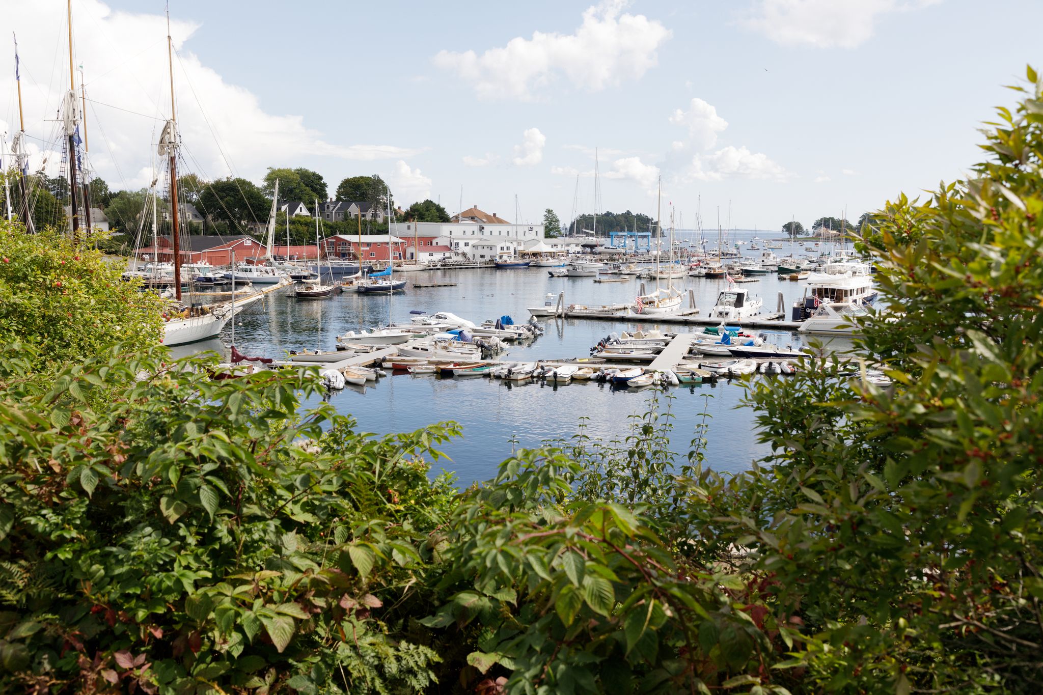
New England – vibrant cities, picturesque coastlines and wild mountain landscapes

ロードアイランドでのハイキング

ロードアイランドでのサイクリング


コミュニティからのヒント


The Washington Secondary Rail Trail totals over 19 miles in one direction and is paved the entire way (apart from some of the bridge crossings). The trail passes through neighborhoods, business districts, and parks on its way from town to town. This particular section encompasses the miles between Anthony and West Warwick. The pavement is smooth and well-kept the whole time, so this is a great spot for beginners.
0
0

Burnt Sawmill Road is an abandoned logging road running north-south through Big River State Management Area. It is mostly unpaved.
0
0

This pond between Lafayette and North Kingstown is the jewel of Ryan Park's crown. You can either sail in it or make a surrounding trip that will go by the foliated Ryan Park Trail.
0
0
This truss bridge carries you over the Pawtuxet River on the Washington Secondary Rail Trail. The bridge also offers views of the river off both sides.
0
0
Stepstone Falls is a collection of cascades formed by slabs that create "steps" in the riverbed. The falls are located on the Wood River, which runs seasonally drier in the peak of the summer. The most popular path accessing the falls is the Ben Utter Trail, but there are a few different paths that lead to the viewing area.
0
0
Stepstone Falls is a collection of cascades formed by slabs that create "steps" in the riverbed. The falls are located on the Wood River, which runs seasonally drier in the peak of the summer. The most popular path accessing the falls is the Ben Utter Trail, but there are a few different paths that lead to the viewing area.
0
0
The Washington Secondary Rail Trail totals over 19 miles in one direction and is paved every step of the way (apart from some of the bridge crossings). The trail passes through neighborhoods, business districts, and parks on its way from town to town. This particular section encompasses the miles between Anthony and West Warwick.
0
0
ロードアイランドでのの人気観光スポット

komootモバイルアプリでインスピレーションを得よう


探していたものは見つかりませんでしたか?
ロードアイランドの下にある他のMTBトレイルをチェックして、目的地で完璧なルートを見つけましょう。
さらに探索
他の地域の最高のMTBトレイルを見てみましょう。
