ノイシュタットベイコーブルクのおすすめライド
4.3
(79)
1,054
ライダー
77
ライド
ノイシュタットベイコーブルク周辺のロードバイクルートをお探しですか?ここでは、komootが提供するノイシュタットベイコーブルクでのロードバイクライドのコレクション全体を評価して選び抜いた人気ルートをご紹介します。各ライドの詳細をぜひご覧ください。
最終更新日: 10月 14, 2026
3.8
(6)
80
ライダー
70.2km
02:56
390m
390m
中程度のロードライド. ある程度のフィットネスレベルが必要です。 全般的に舗装状態が良好で走行しやすい道です。
4.5
(6)
65
ライダー
47.2km
02:04
330m
330m
中程度のロードライド. ある程度のフィットネスレベルが必要です。 ツアーの一部に、未舗装のため走行が難しい箇所があるかもしれません。

4.7
(3)
51
ライダー
55.3km
02:28
350m
350m
中程度のロードライド. ある程度のフィットネスレベルが必要です。 全般的に舗装状態が良好で走行しやすい道です。
4.9
(13)
66
ライダー
50.3km
02:35
410m
410m
中程度のロードライド. ある程度のフィットネスレベルが必要です。 全般的に舗装状態が良好で走行しやすい道です。
5.0
(7)
50
ライダー
46.8km
02:07
320m
320m
中程度のロードライド. ある程度のフィットネスレベルが必要です。 ツアーの一部に、未舗装のため走行が難しい箇所があるかもしれません。
さらに多くのルートや他のユーザーのおすすめ情報を確認できます。
すでにアカウントをお持ちですか?
おすすめのツアーは他のkomootユーザーが実際に経験した何千ものアクティビティに基づいています。
無料アカウントで今日から始めよう
次の冒険が待っています。
ノイシュタットベイコーブルク周辺で人気
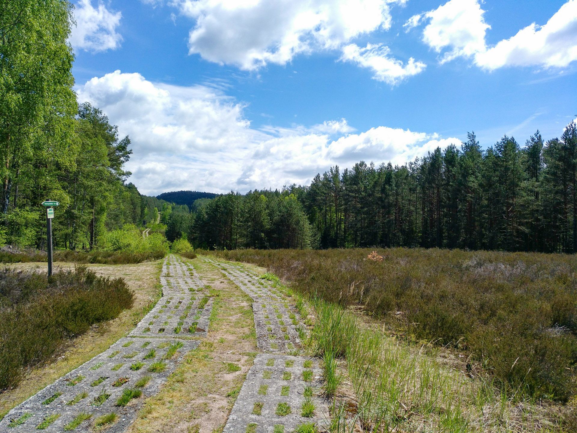
Discover the Green Belt in Germany’s Thuringian Slate Mountains with BUND
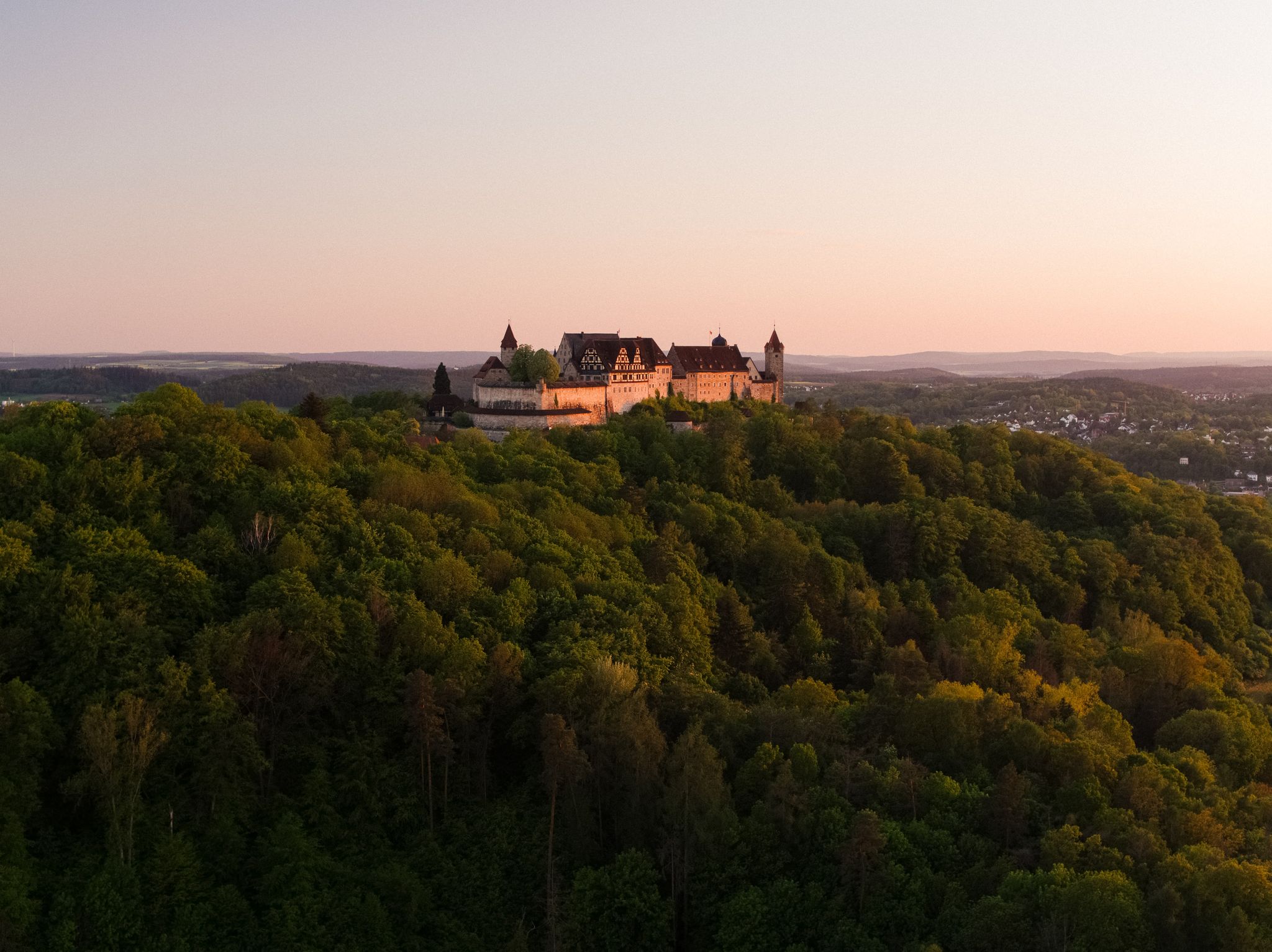
Hike the Coburg.Rennsteig Trail in Germany – Thuringia and Franconia

Discover the nature along the “Greenbelt” together with the BUND
ノイシュタットベイコーブルクでのハイキング
ノイシュタットベイコーブルクでのサイクリング
ノイシュタットベイコーブルクのMTBトレイル
ノイシュタットベイコーブルクのランニングコース
ノイシュタットベイコーブルクでののグラベルライド
ノイシュタットベイコーブルクでのの他の冒険


コミュニティからのヒント

エーレンブルクのすぐ隣にあります。良いポーションのトップキッチン。予約をお勧めします
0
0

コブルクのマルクト広場にあるプリンツ・アルベルト記念碑は、ザクセン=コーブルク=ゴータ公アルベルト王子(1819–1861)を記念するものです。この記念碑は、1865年にイギリス・アイルランド女王ヴィクトリアの命により、彫刻家ウィリアム・シード・ジュニアのデザインに基づき、新古典主義様式で建てられました。記念碑の盛大な除幕式には、女王が子供たちと共に1865年8月26日、5度目のコブルク訪問中に立ち会いました。
4
0


Narrow point of the Steinach river. The current is slowed here by large stones. This was necessary due to the straightening of the river at this location.
8
0
This castle also deserves attention.
2
0
The former moated castle, with its almost square floor plan measuring approximately 70 by 60 meters, is built on 190 cm thick outer foundation and ground floor walls and consists of a total of five floors. Two round towers rise at the northern corners of the building, their conical roofs slightly projecting above the hipped roof of the main building, thus lending the property a defensive character. Source: https://de.m.wikipedia.org/wiki/Wasserschloss_Untersiemau
13
0
Untersiemau Moated Castle stands in a park on the southern edge of the Upper Franconian municipality of Untersiemau in the Coburg district. The oldest parts of the building, also known as the Lower Castle, date back to the 13th century. The castle was expanded and rebuilt several times over the following centuries. The former moated castle, with its almost square floor plan measuring approximately 70 by 60 meters, is built on 190 cm thick outer foundation and ground floor walls and consists of a total of five floors. Two round towers rise at the northern corners of the building, their conical roofs slightly projecting above the hipped roof of the main building, lending the property a defensive character. Source: https://de.m.wikipedia.org/wiki/Wasserschloss_Untersiemau
13
0
The farm, with its fortified structure, was built on a medieval trade route from the Main Valley to Erfurt and a former ford over the Röden River. Over the centuries, the fortified structure developed into a moated castle and eventually a palace. Owners from the 14th century onward included the Coburg family, who, in 1451, sold the property to the mint masters of Rosenau. In 1600, the castle and estate were acquired by Duke Johann Casimir for 28,000 guilders and transferred to the princely chamber of Coburg as a domain.
4
0
ノイシュタットベイコーブルクでのの人気観光スポット

komootモバイルアプリでインスピレーションを得よう


さらに探索
他の地域の最高のロードサイクリングルートを見てみましょう。
