ノイシュタットベイコーブルクのおすすめツーリングルート
4.5
(457)
2,136
ライダー
147
ライド
ノイシュタットベイコーブルク周辺でのおすすめのサイクリングルートを参考にして、このエリアを最大限に楽しみましょう。ここでご紹介するのは、ノイシュタットベイコーブルク周辺の人気バイクライドです。ぜひ、自分に合ったルートを見つけてください。
最終更新日: 10月 14, 2026
4.9
(27)
112
ライダー
41.8km
02:33
180m
180m
中程度の自転車ライド. ある程度のフィットネスレベルが必要です。 全般的に舗装された状態です。あらゆるスキルレベルに適しています。
4.8
(16)
74
ライダー
31.6km
02:05
260m
260m
中程度の自転車ライド. ある程度のフィットネスレベルが必要です。 全般的に舗装された状態です。あらゆるスキルレベルに適しています。

4.4
(18)
46
ライダー
51.8km
03:06
240m
240m
中程度の自転車ライド. ある程度のフィットネスレベルが必要です。 全般的に舗装された状態です。あらゆるスキルレベルに適しています。
4.5
(147)
504
ライダー
32.6km
01:58
120m
120m
初級者向けバイクライド. あらゆるフィットネスレベルに適しています。 全般的に舗装された状態です。あらゆるスキルレベルに適しています。
5.0
(4)
36
ライダー
29.4km
01:50
200m
200m
中程度の自転車ライド. ある程度のフィットネスレベルが必要です。 全般的に舗装された状態です。あらゆるスキルレベルに適しています。
さらに多くのルートや他のユーザーのおすすめ情報を確認できます。
すでにアカウントをお持ちですか?
おすすめのツアーは他のkomootユーザーが実際に経験した何千ものアクティビティに基づいています。
無料アカウントで今日から始めよう
次の冒険が待っています。
ノイシュタットベイコーブルク周辺で人気
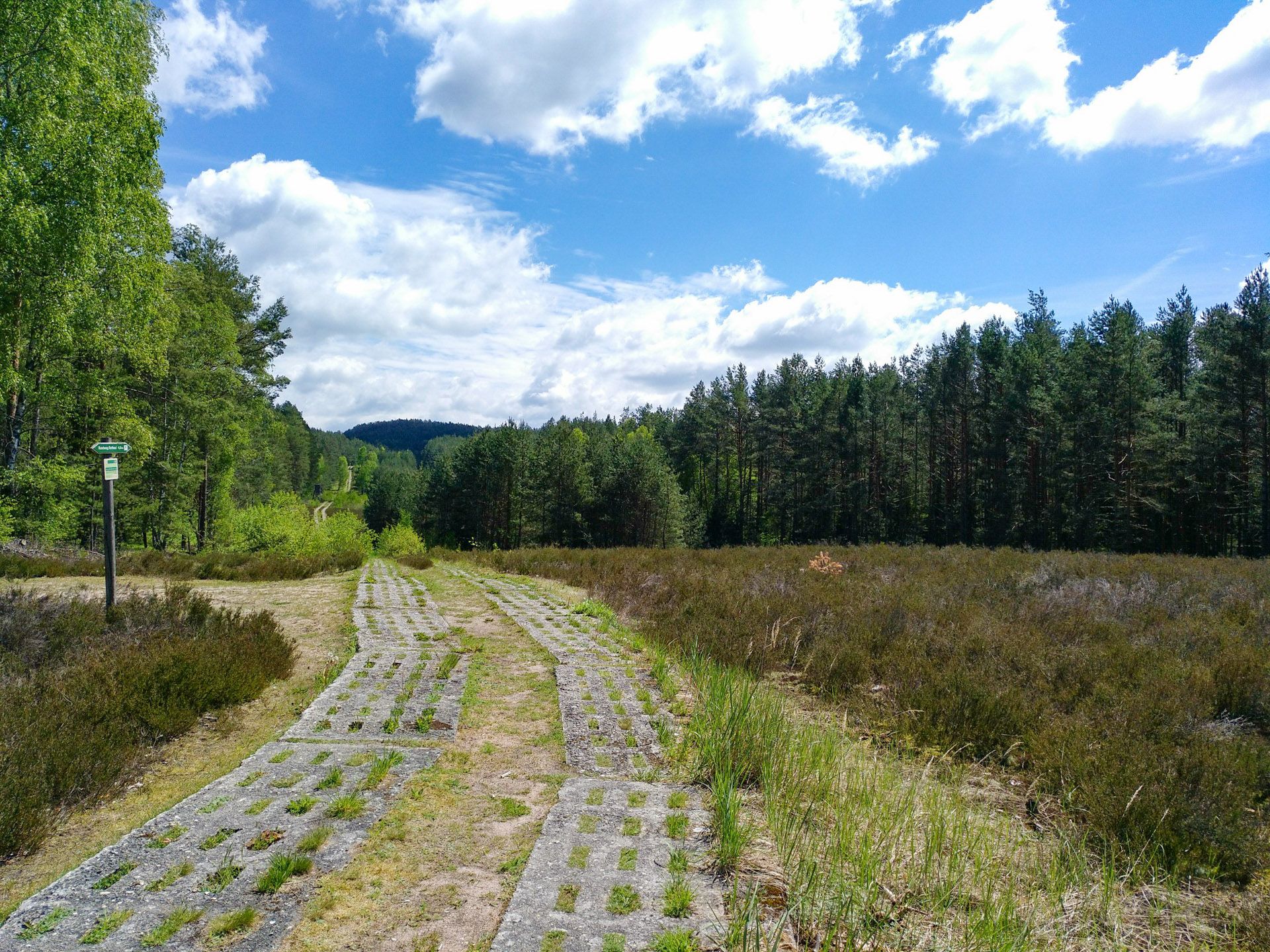
Discover the Green Belt in Germany’s Thuringian Slate Mountains with BUND
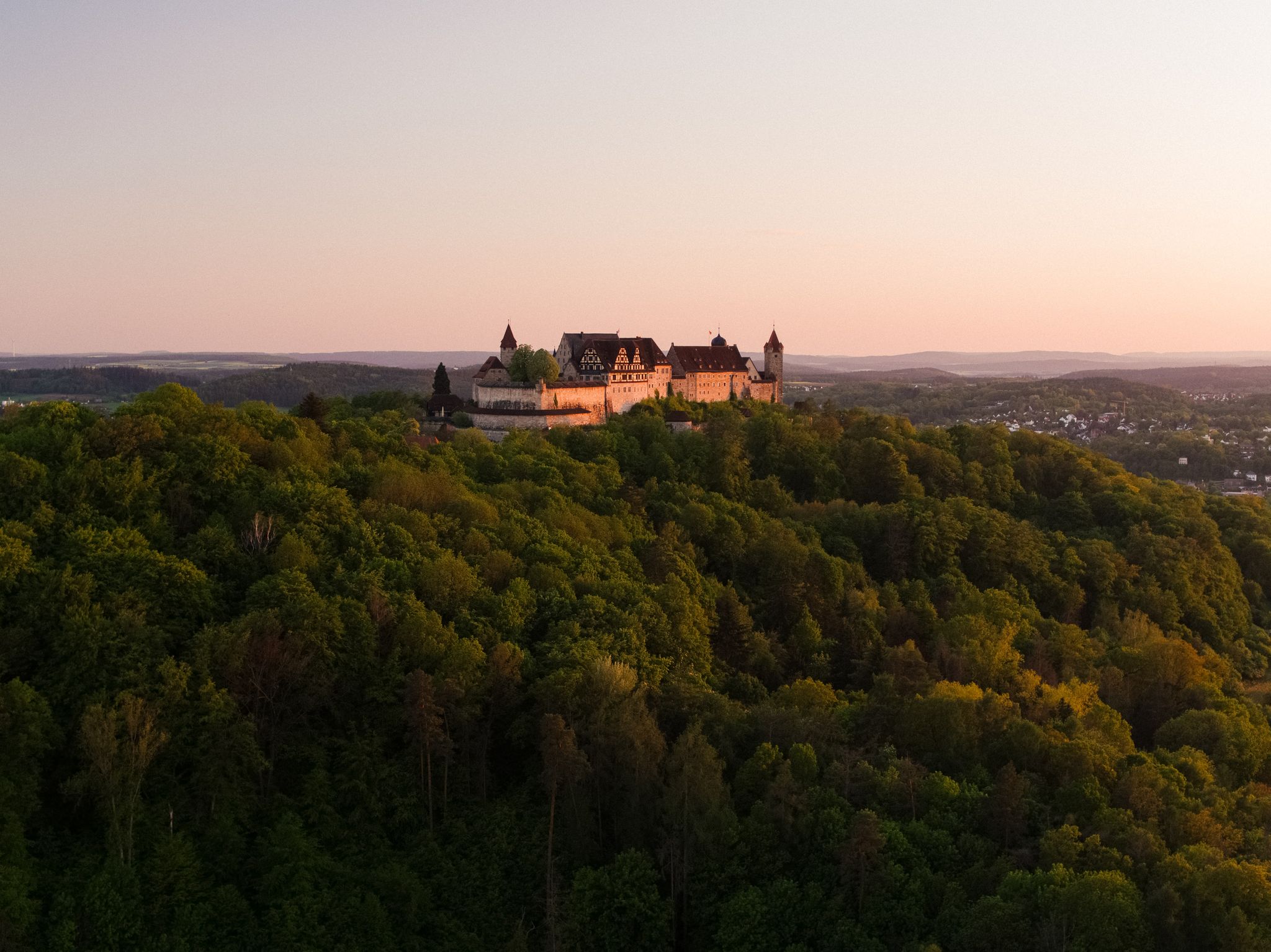
Hike the Coburg.Rennsteig Trail in Germany – Thuringia and Franconia

Discover the nature along the “Greenbelt” together with the BUND
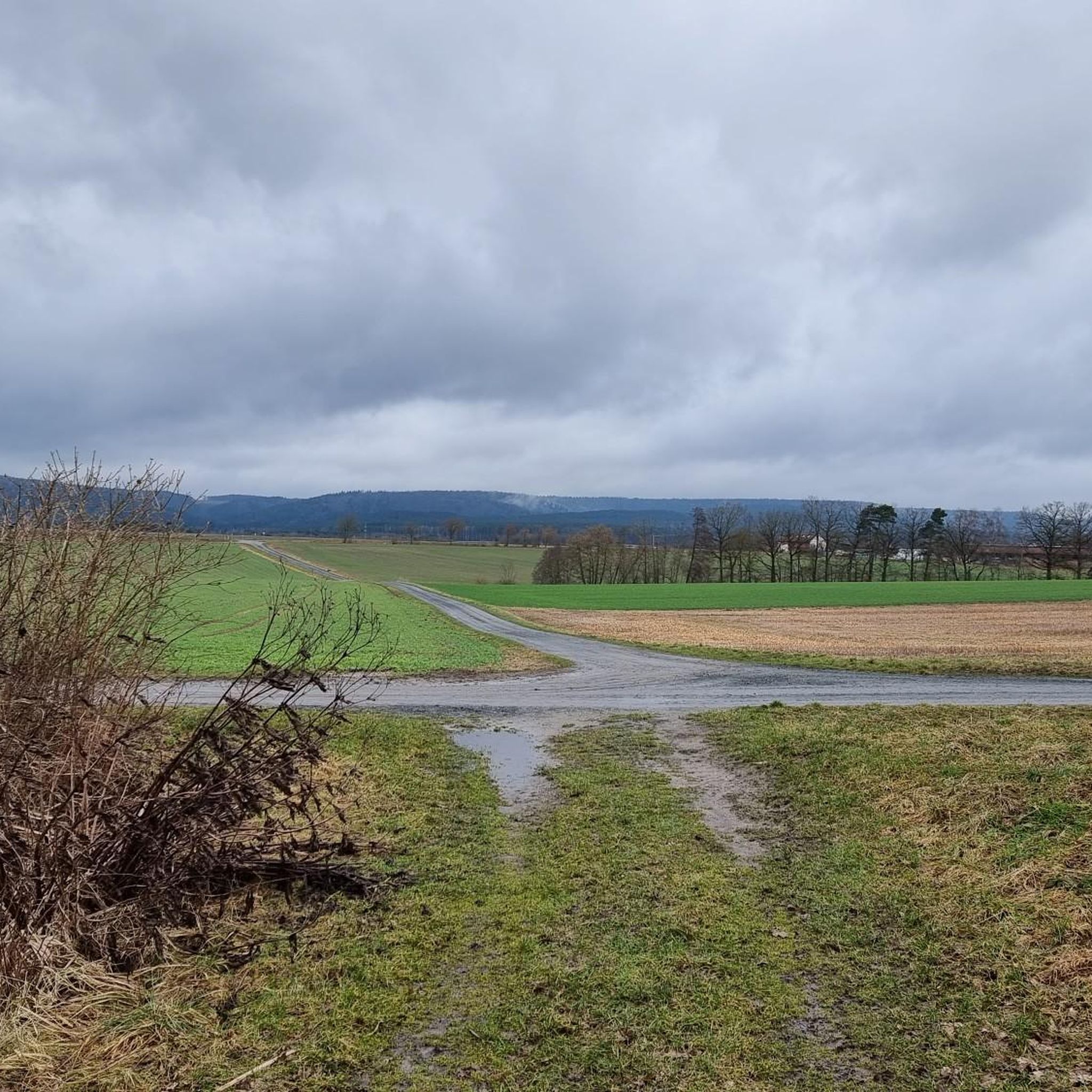
ノイシュタットベイコーブルクでのハイキング
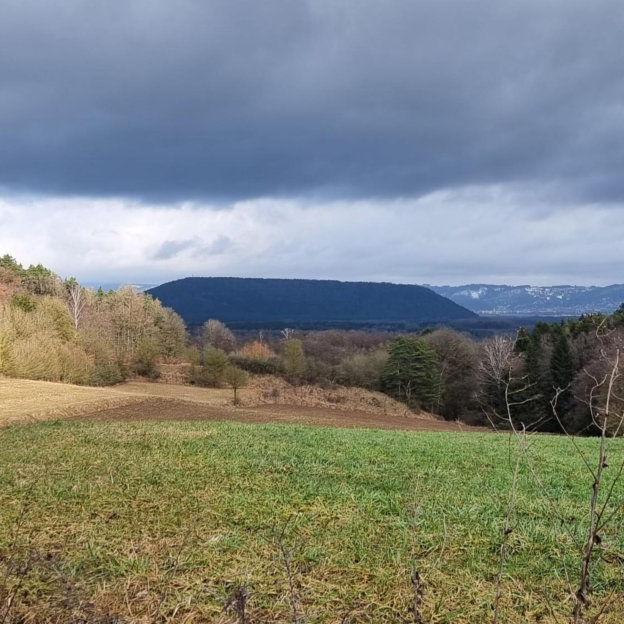
ノイシュタットベイコーブルクのロードバイクルート
ノイシュタットベイコーブルクのMTBトレイル
ノイシュタットベイコーブルクのランニングコース
ノイシュタットベイコーブルクでののグラベルライド
ノイシュタットベイコーブルクでのの他の冒険


コミュニティからのヒント

A beautiful paved cycle path runs along the Steinach river. Suitable for virtually all types of cycling. Caution is advised only when work is being done in the fields.
7
0
The Rohof reservoir is an artificial body of water in the Sonneberg district. It primarily serves as a water reservoir for the surrounding agriculture. Whether cycling or hiking, it offers a beautiful view in every season. Various water birds can often be observed from the nearby path.
8
0
Narrow point of the Steinach river. The current is slowed here by large stones. This was necessary due to the straightening of the river at this location.
8
0

Very nice ambiance. You'll have to check the beer garden's opening hours online!
2
0

Nice place to linger with a beautiful view of the castle square and the Ehrenburg
0
1

This is where the Muppberg comes into its own.
2
1

Not spectacular but like all moving water, beautiful to look at.
3
0
The Röden and Itz rivers converge here. Since the source of the Itz is somewhat further away, it becomes the river that gives the town its name. Below Rattelsdorf, the Itz flows into the Main.
5
0
ノイシュタットベイコーブルクでのの人気観光スポット

komootモバイルアプリでインスピレーションを得よう


さらに探索
他の地域の最高のサイクリングルートを見てみましょう。
