バートローダッハのおすすめライド
4.9
(26)
437
ライダー
58
ライド
バートローダッハ周辺でのロードバイクライドをお考えですか?komootはバートローダッハ周辺のあらゆるロードバイクライドを評価し、人気ルートを厳選しました。バートローダッハ周辺の各ロードバイクルートの詳細をご覧になり、自分に合ったルートを見つけてください。
最終更新日: 9月 16, 2026
4.3
(10)
96
ライダー
51.4km
02:16
330m
330m
中程度のロードライド. ある程度のフィットネスレベルが必要です。 ツアーの一部に、未舗装のため走行が難しい箇所があるかもしれません。
5.0
(2)
69
ライダー
39.5km
01:37
190m
190m
中程度のロードライド. あらゆるフィットネスレベルに適しています。 ツアーの一部に、未舗装のため走行が難しい箇所があるかもしれません。

5.0
(1)
42
ライダー
48.3km
02:03
290m
290m
中程度のロードライド. ある程度のフィットネスレベルが必要です。 全般的に舗装状態が良好で走行しやすい道です。
4.5
(2)
15
ライダー
49.9km
02:11
300m
300m
中程度のロードライド. ある程度のフィットネスレベルが必要です。 全般的に舗装状態が良好で走行しやすい道です。
5.0
(2)
5
ライダー
32.2km
01:31
280m
280m
初級者向けロードバイクライド. あらゆるフィットネスレベルに適しています。 全般的に舗装状態が良好で走行しやすい道です。
さらに多くのルートや他のユーザーのおすすめ情報を確認できます。
すでにアカウントをお持ちですか?
おすすめのツアーは他のkomootユーザーが実際に経験した何千ものアクティビティに基づいています。
無料アカウントで今日から始めよう
次の冒険が待っています。
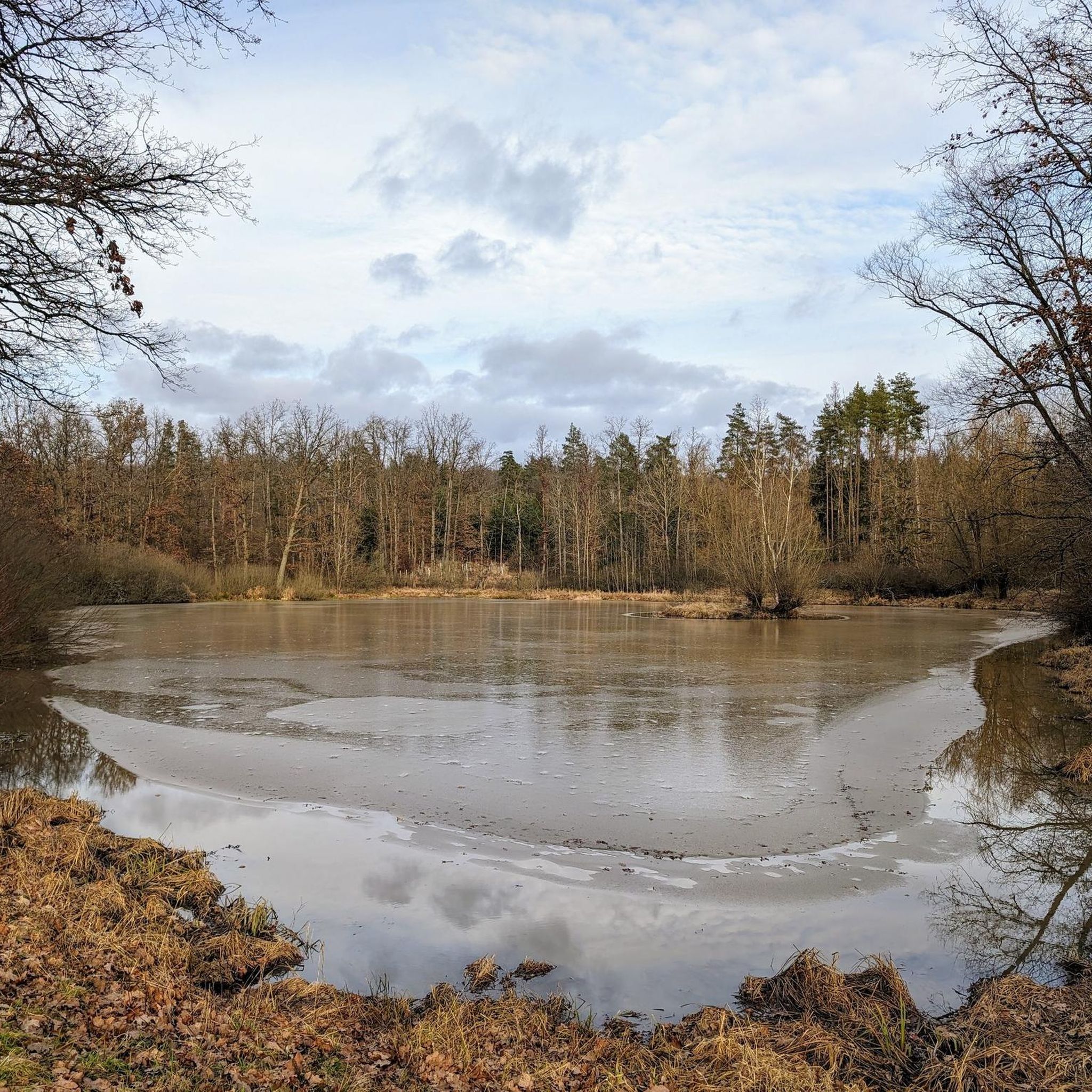
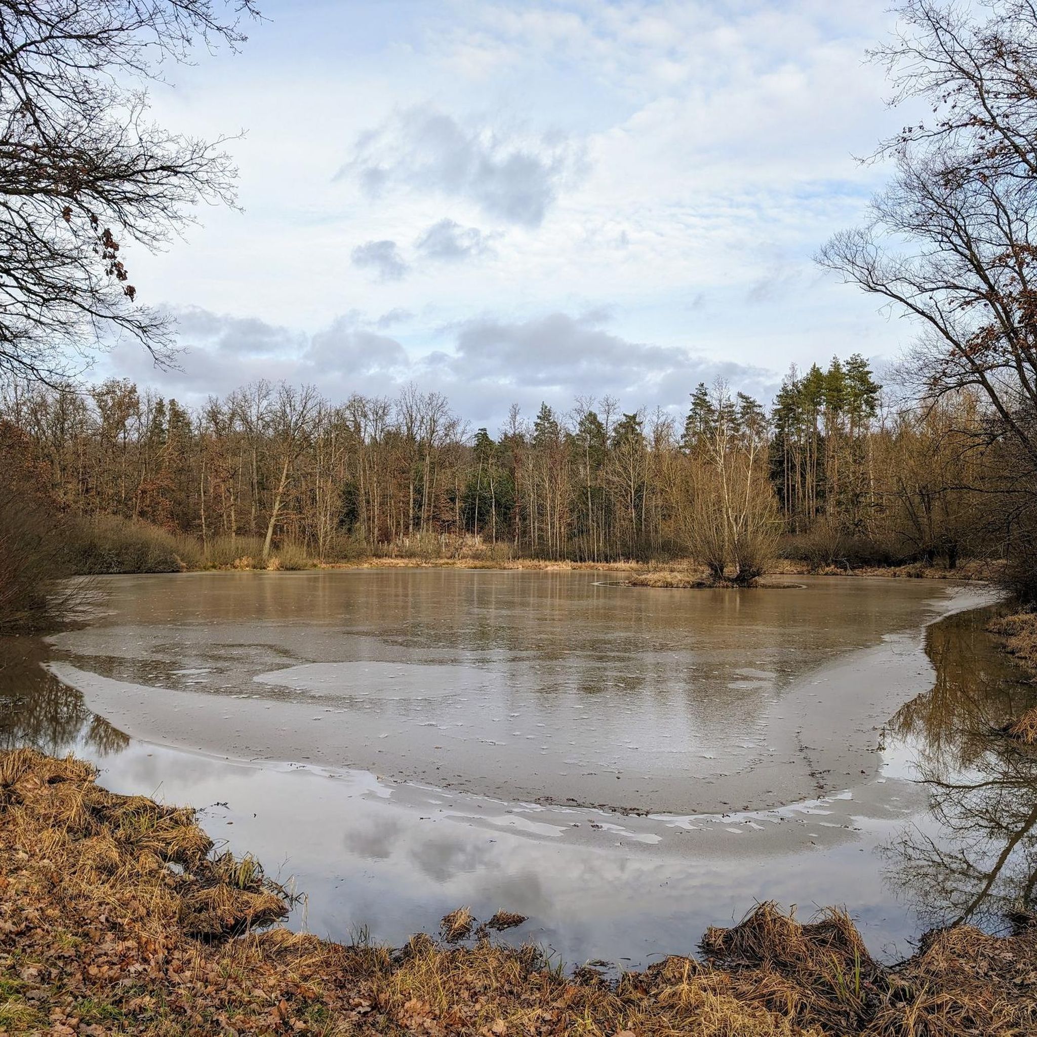
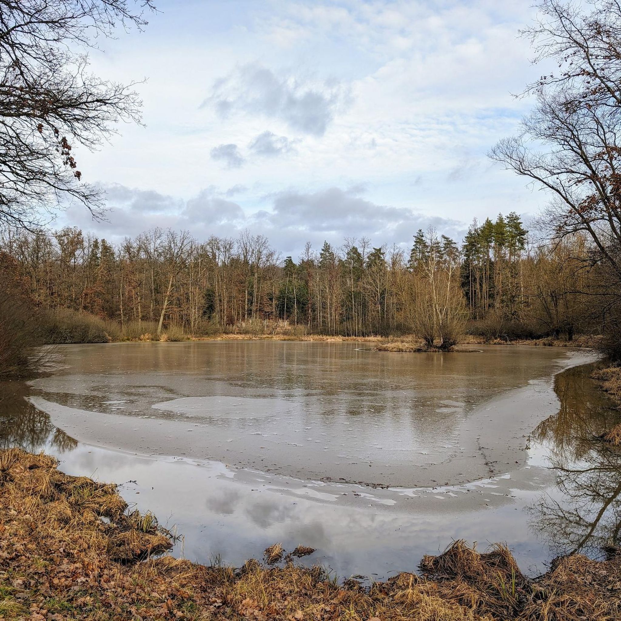
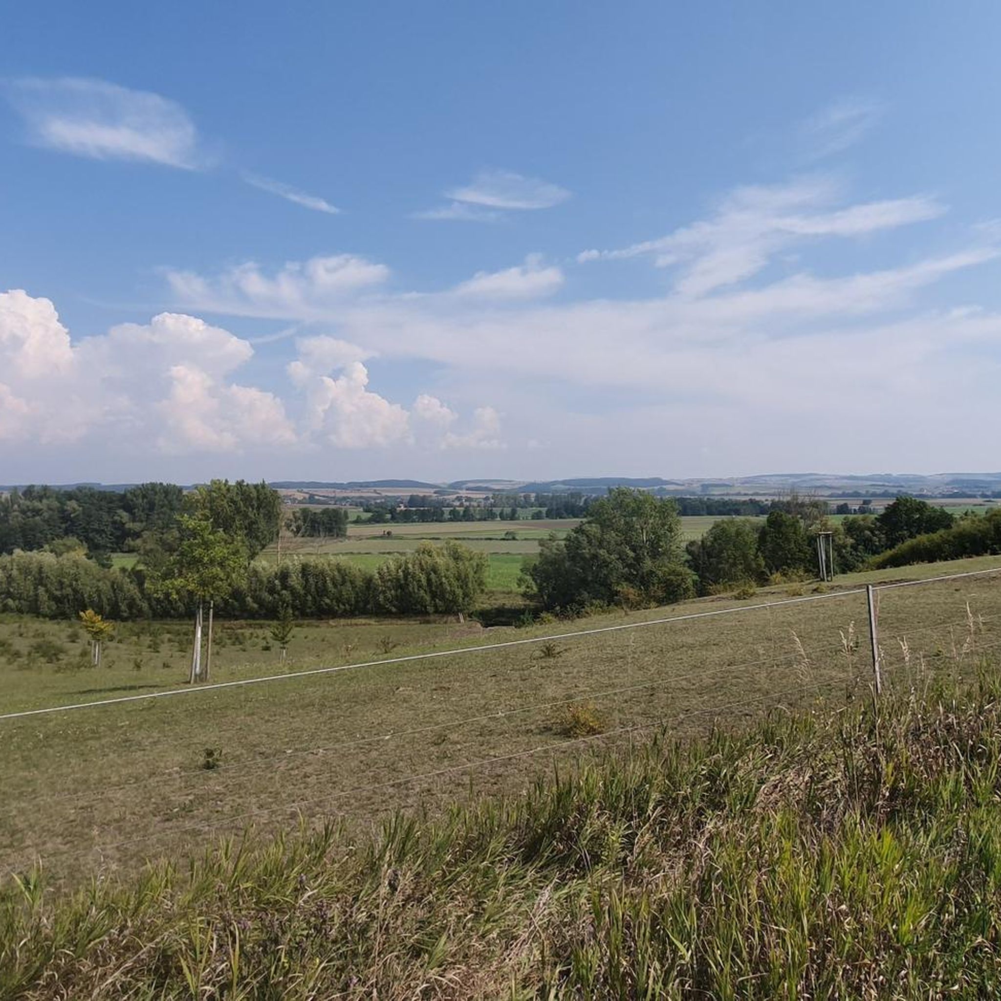

コミュニティからのヒント

Cycle route signs are located at intersections and indicate the direction and distance to your destination. These signs are further enhanced with small pictograms of themed routes. It's helpful to know where to go when you don't have a navigation system.
16
0
The fountain dominates the square opposite the town hall.
14
0
The Evangelical Lutheran parish church of St. John in Bad Rodach was first documented as a parish church in 1350. The current nave dates from the mid-18th century.
14
0
The Roman Catholic parish church of St. John the Baptist in the Upper Franconian municipality of Seßlach, in the Coburg district, stands in the center of the town. It is a late Gothic stepped hall church from the 15th century, whose tower base likely dates back to a choir tower church from the 13th century. Source: https://de.m.wikipedia.org/wiki/St._Johannes_der_T%C3%A4ufer_(Se%C3%9Flach)
18
0

Beautiful church, nice that it is easily accessible for everyone 👍
0
0

Looks very similar to the Spenglersbrunben in Coburg 🤔 .
7
1
The church's origins likely date back to the Middle Ages, although its current appearance is largely influenced by later renovations and new construction. Particularly notable is the imposing church tower, which is visible from afar and serves as a landmark. Over the centuries, St. John's Church has undergone various changes, reflecting the respective architectural styles of the eras. Inside, the church houses a rich collection of furnishings, including remarkable altars, pulpits, and works of art that testify to the church's long and rich history.
8
0
No known opening hours. Closed in winter. 😚🤔
9
4
バートローダッハでのの人気観光スポット

komootモバイルアプリでインスピレーションを得よう


さらに探索
他の地域の最高のロードサイクリングルートを見てみましょう。
