コーブルクのおすすめライド
4.6
(667)
8,132
ライダー
680
ライド
このガイドでご紹介するのは、komootがコーブルクでのロードバイクルートのコレクション全体を評価して選び抜いた、このエリアの人気バイクライドです。あなたに合ったものを見つけるには、以下のルートをクリックして標高データや舗装状態の分析などの細かな情報を把握し、さらにkomootコミュニティのメンバーが投稿した役立つ情報や写真も閲覧しましょう。
最終更新日: 10月 14, 2026
4.7
(25)
274
ライダー
40.2km
01:40
150m
150m
中程度のロードライド. あらゆるフィットネスレベルに適しています。 ツアーの一部に、未舗装のため走行が難しい箇所があるかもしれません。
4.4
(10)
188
ライダー
56.4km
02:23
280m
280m
中程度のロードライド. ある程度のフィットネスレベルが必要です。 ツアーの一部に、未舗装のため走行が難しい箇所があるかもしれません。

4.6
(7)
120
ライダー
68.3km
03:23
720m
720m
中程度のロードライド. ある程度のフィットネスレベルが必要です。 全般的に舗装状態が良好で走行しやすい道です。
3.6
(5)
96
ライダー
54.4km
02:25
350m
350m
中程度のロードライド. ある程度のフィットネスレベルが必要です。 ツアーの一部に、未舗装のため走行が難しい箇所があるかもしれません。
4.3
(10)
96
ライダー
51.4km
02:16
330m
330m
中程度のロードライド. ある程度のフィットネスレベルが必要です。 ツアーの一部に、未舗装のため走行が難しい箇所があるかもしれません。
4.6
(5)
79
ライダー
40.9km
01:49
350m
350m
中程度のロードライド. ある程度のフィットネスレベルが必要です。 ツアーの一部に、未舗装のため走行が難しい箇所があるかもしれません。
3.8
(6)
80
ライダー
70.2km
02:56
390m
390m
中程度のロードライド. ある程度のフィットネスレベルが必要です。 全般的に舗装状態が良好で走行しやすい道です。
3.9
(7)
85
ライダー
75.0km
03:07
390m
390m
中程度のロードライド. ある程度のフィットネスレベルが必要です。 全般的に舗装状態が良好で走行しやすい道です。
4.7
(6)
76
ライダー
44.1km
01:53
280m
280m
初級者向けロードバイクライド. あらゆるフィットネスレベルに適しています。 全般的に舗装状態が良好で走行しやすい道です。
4.9
(24)
91
ライダー
24.6km
01:13
100m
100m
中程度のロードライド. あらゆるフィットネスレベルに適しています。 ツアーの一部に、未舗装のため走行が難しい箇所があるかもしれません。
さらに多くのルートや他のユーザーのおすすめ情報を確認できます。
すでにアカウントをお持ちですか?
おすすめのツアーは他のkomootユーザーが実際に経験した何千ものアクティビティに基づいています。
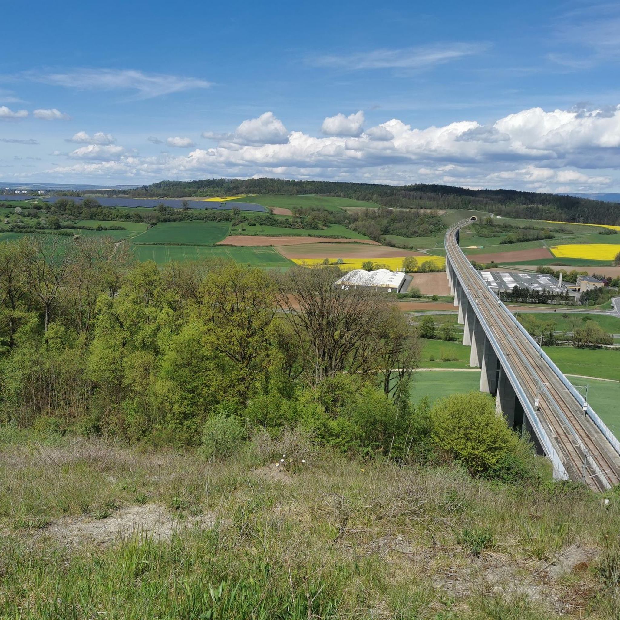
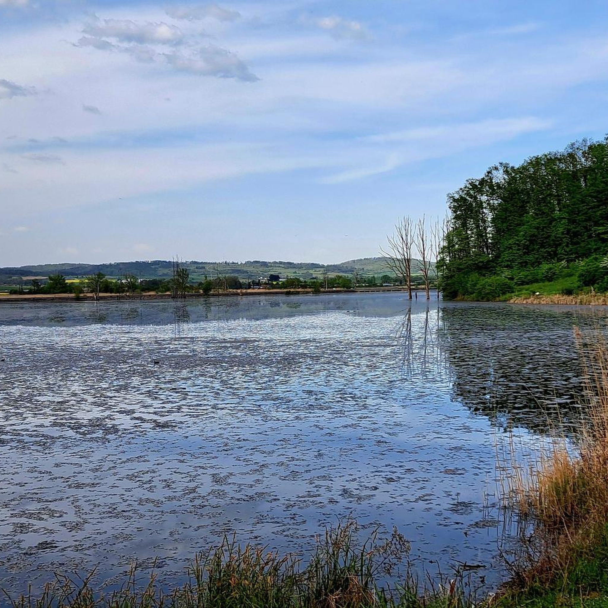
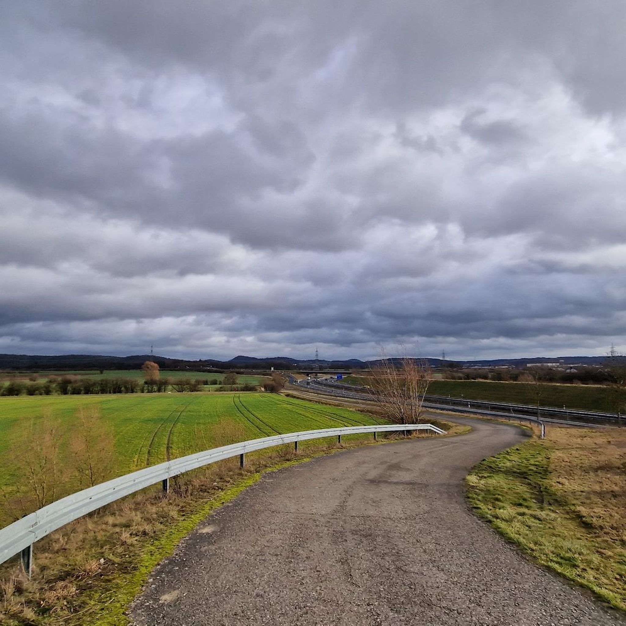
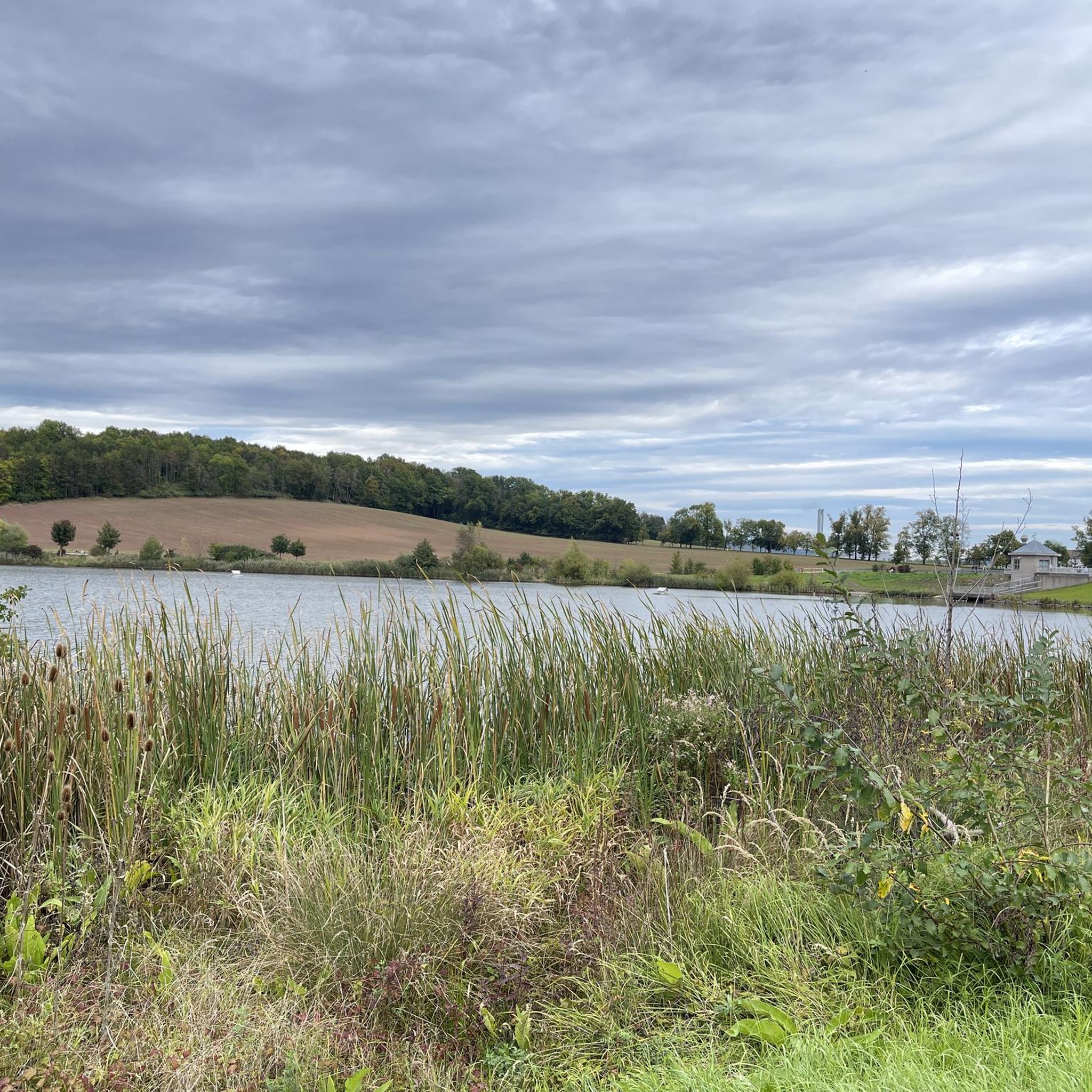
コーブルクでのの他の冒険


コミュニティからのヒント

コブルクのマルクト広場にあるプリンツ・アルベルト記念碑は、ザクセン=コーブルク=ゴータ公アルベルト王子(1819–1861)を記念するものです。この記念碑は、1865年にイギリス・アイルランド女王ヴィクトリアの命により、彫刻家ウィリアム・シード・ジュニアのデザインに基づき、新古典主義様式で建てられました。記念碑の盛大な除幕式には、女王が子供たちと共に1865年8月26日、5度目のコブルク訪問中に立ち会いました。
4
0


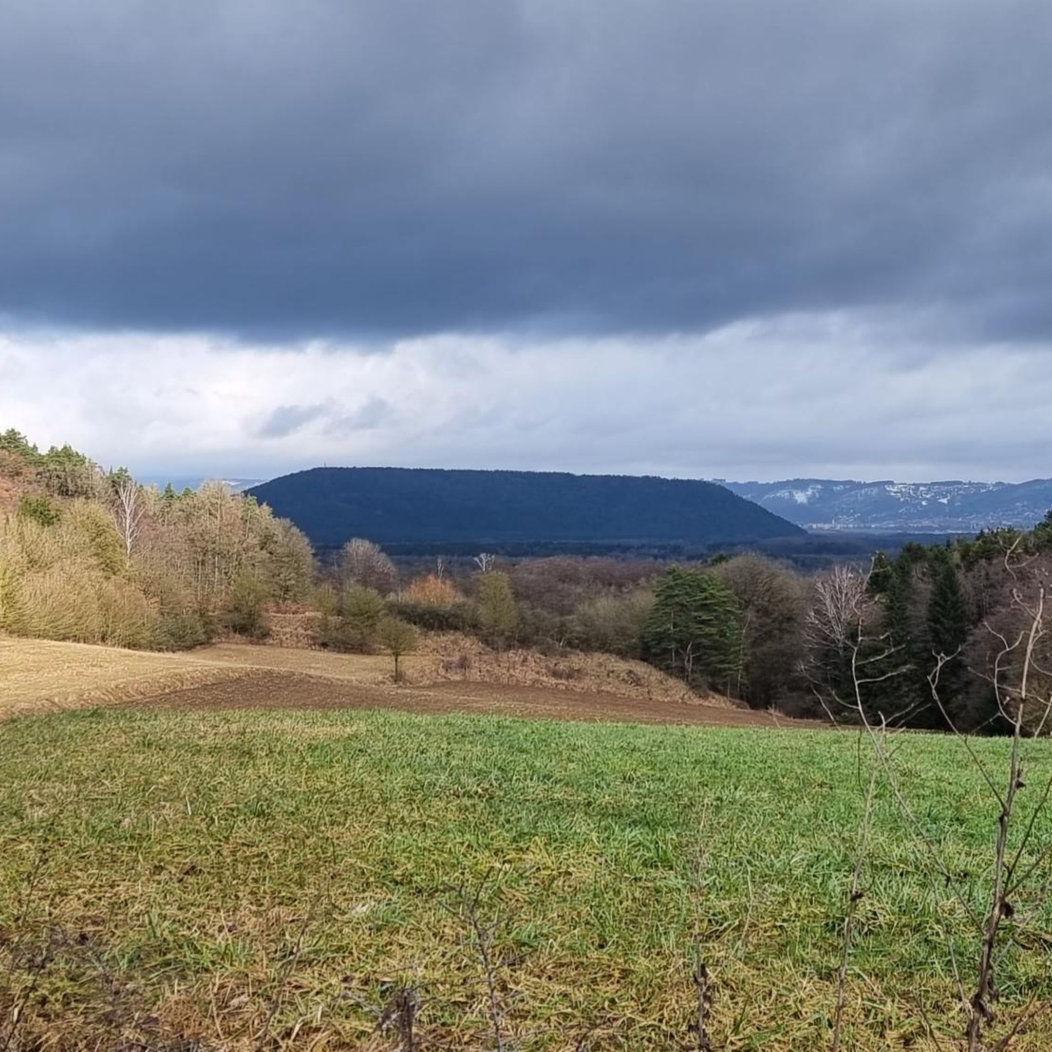
Theuern方面への下りは、ほとんど漕いだりブレーキをかけたりせずに進めます。Limbach方面への上りは、勾配が変化するため、おそらく少し不均一なペダリングになるでしょう。 アスファルトは概ね良好ですが、冬の間は一部にいくらかのポットホールがあります。
0
0

画像は、地域の市場活動のための幻想的に美しい背景です。
0
0
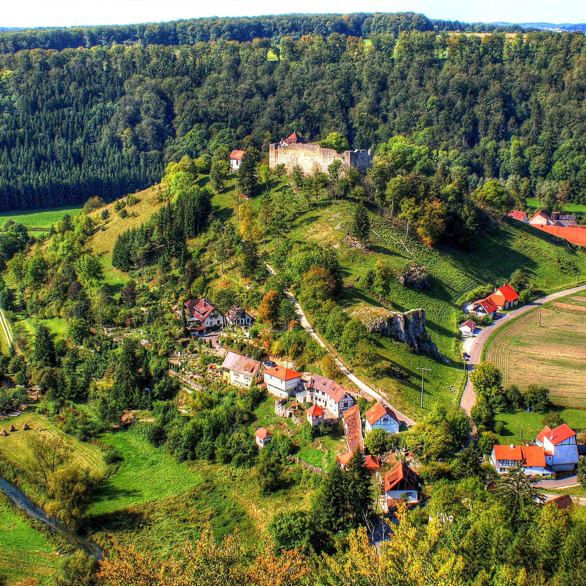
This castle also deserves attention.
2
0

The Judentor (Jew's Gate) is one of three surviving city gates in Coburg. The gate tower marked the western boundary of the city center and was part of the inner city wall. The city gate, probably built in the early 13th century, was first documented in 1321 as the Judentor (Jew's Gate). The gate tower was built on the floodplain of the Itz River. The name Judentor (Jew's Gate) refers to the Jewish community of Coburg, which was located west of the Judentor in the 14th and 15th centuries.
12
0


komootモバイルアプリでインスピレーションを得よう


探していたものは見つかりませんでしたか?
コーブルクの下にある他のロードサイクリングルートをチェックして、目的地で完璧なルートを見つけましょう。
さらに探索
他の地域の最高のロードサイクリングルートを見てみましょう。
