マイン・タウヌス・クライスのおすすめツーリングルート
4.5
(5518)
30,208
ライダー
864
ライド
マイン・タウヌス・クライスでサイクリングを楽しめば、ダルムシュタット地区のこのエリアをより深く知ることができます。あなたにぴったりのマイン・タウヌス・クライスでのバイクライドが見つかるように、komootがサイクリングルートのコレクション全体を評価して選び抜いたルートをご紹介します。以下のルートをクリックして標高データや舗装状態の分析などの細かな情報を把握し、さらにkomootコミュニティのメンバーがアップロードした役立つ情報や写真も閲覧しましょう。
最終更新日: 10月 18, 2026
4.7
(690)
2,220
ライダー
73.3km
04:27
300m
300m
難しい自転車ライド. ある程度のフィットネスレベルが必要です。 ツアーの一部で自転車を押して歩く必要があるかもしれません。
4.7
(136)
700
ライダー
41.7km
02:33
160m
160m
中程度の自転車ライド. ある程度のフィットネスレベルが必要です。 全般的に舗装された状態です。あらゆるスキルレベルに適しています。

4.7
(83)
239
ライダー
32.1km
02:09
300m
300m
中程度の自転車ライド. ある程度のフィットネスレベルが必要です。 全般的に舗装された状態です。あらゆるスキルレベルに適しています。
4.6
(71)
320
ライダー
30.8km
02:00
130m
130m
初級者向けバイクライド. あらゆるフィットネスレベルに適しています。 全般的に舗装された状態です。あらゆるスキルレベルに適しています。
4.6
(108)
273
ライダー
24.7km
01:31
110m
110m
初級者向けバイクライド. あらゆるフィットネスレベルに適しています。 全般的に舗装された状態です。あらゆるスキルレベルに適しています。
4.6
(51)
369
ライダー
31.9km
02:24
560m
560m
難しい自転車ライド. 標準以上のフィットネスレベルが必要です。 全般的に舗装された状態です。あらゆるスキルレベルに適しています。
4.5
(22)
317
ライダー
48.9km
03:27
910m
900m
難しい自転車ライド. 標準以上のフィットネスレベルが必要です。 全般的に舗装された状態です。あらゆるスキルレベルに適しています。
4.7
(42)
341
ライダー
39.0km
03:18
770m
770m
難しい自転車ライド. 標準以上のフィットネスレベルが必要です。 ツアーの一部で自転車を押して歩く必要があるかもしれません。
4.5
(71)
293
ライダー
21.1km
01:17
140m
140m
初級者向けバイクライド. あらゆるフィットネスレベルに適しています。 全般的に舗装された状態です。あらゆるスキルレベルに適しています。
4.3
(54)
292
ライダー
17.7km
01:06
110m
110m
初級者向けバイクライド. あらゆるフィットネスレベルに適しています。 全般的に舗装された状態です。あらゆるスキルレベルに適しています。
さらに多くのルートや他のユーザーのおすすめ情報を確認できます。
すでにアカウントをお持ちですか?
おすすめのツアーは他のkomootユーザーが実際に経験した何千ものアクティビティに基づいています。
マイン・タウヌス・クライスでのの他の冒険


コミュニティからのヒント

かつての監視塔であったフローシェイマー・ヴァルテは、15世紀にはマインツ大司教区がライン川右岸の領土を保護するために建設したカステルラントヴェーアの一部でした。世俗化(1803年)の後、防衛すべきものがほとんどなくなったため、ラントヴェーアはその重要性を失いました。 フローシェイマー・ヴァルテは次第に廃墟と化しました。1996年には、中世の監視塔の遺構の隣に、歴史的な模範に基づいた再建がなされました。ここからは、ラインガウやタウヌス地方、そしてフランクフルトのスカイラインまで、四方への壮大なパノラマビューが楽しめます。 ブドウ畑と週末のウィンターラウンジを備えた人気の行楽地「フローシェイマー・ヴァルテ」では、シュプンデケーゼ、ハントケーゼ、そしてバイエルン風サラダを提供しており、ヴィッカーとホーホハイムのブドウ畑からの最高のワインと共に楽しめます。詳細はこちら: https://www.rheingau.com/infosystem/floersheimer-warte/poi.html。
1
0

FFMの素晴らしい眺めの良い場所
1
0
景色はとても美しいです
1
0

フロルスハイム・アム・マインのアイゼンバウム(鉄の木)は、ラインマイン地域公園の、遠くからでも見える人工的なランドマークです。この特徴的な高さ18メートルの鋼鉄製の構造物は、フロルスハイムとホーホハイムの間にある景観的に魅力的な自然保護区の中央にある高台に立っています。そこはユダヤ人墓地のすぐ隣です。 この構造物は、人が自然を模倣することの困難さをテーマにした、歩行可能な展望塔であり現代美術作品でもあります。 螺旋階段は訪問者を高さ9メートルの展望プラットフォームへと導きます。そこからは、ラインマイン地域全体、タウヌス山脈、オーデンヴァルト、そしてリュッセルスハイムまでの壮大なパノラマビューを楽しむことができます。 この彫刻の特別な点は、ソーラー駆動の音響システムです。アイゼンバウムの上部には、統合されたソーラーセルを持つ葉があります。日中に太陽が輝き、誰かがプラットフォームに足を踏み入れると、オーディオシステムが作動します。すると木は話し始め、訪問者にその構造自体、周囲の景観、そして遺伝子工学などの社会的なテーマに関する情報を提供します。 鋼鉄製の彫刻は、太い幹と10本の大きな人工的な主枝から構成されています。これらの各枝は、正確にねじ止めされた29個の個別の部品で構成されており、合計92枚の鋼鉄製の葉を支えています。 包括的な改修フェーズを経て、3段階ですべての老朽化し錆びた金属製の葉が完全に交換された後、この話す展望塔は2024年夏から再び輝きを取り戻し、ハイキングやサイクリングツアーの人気のある目的地となっています。
13
0

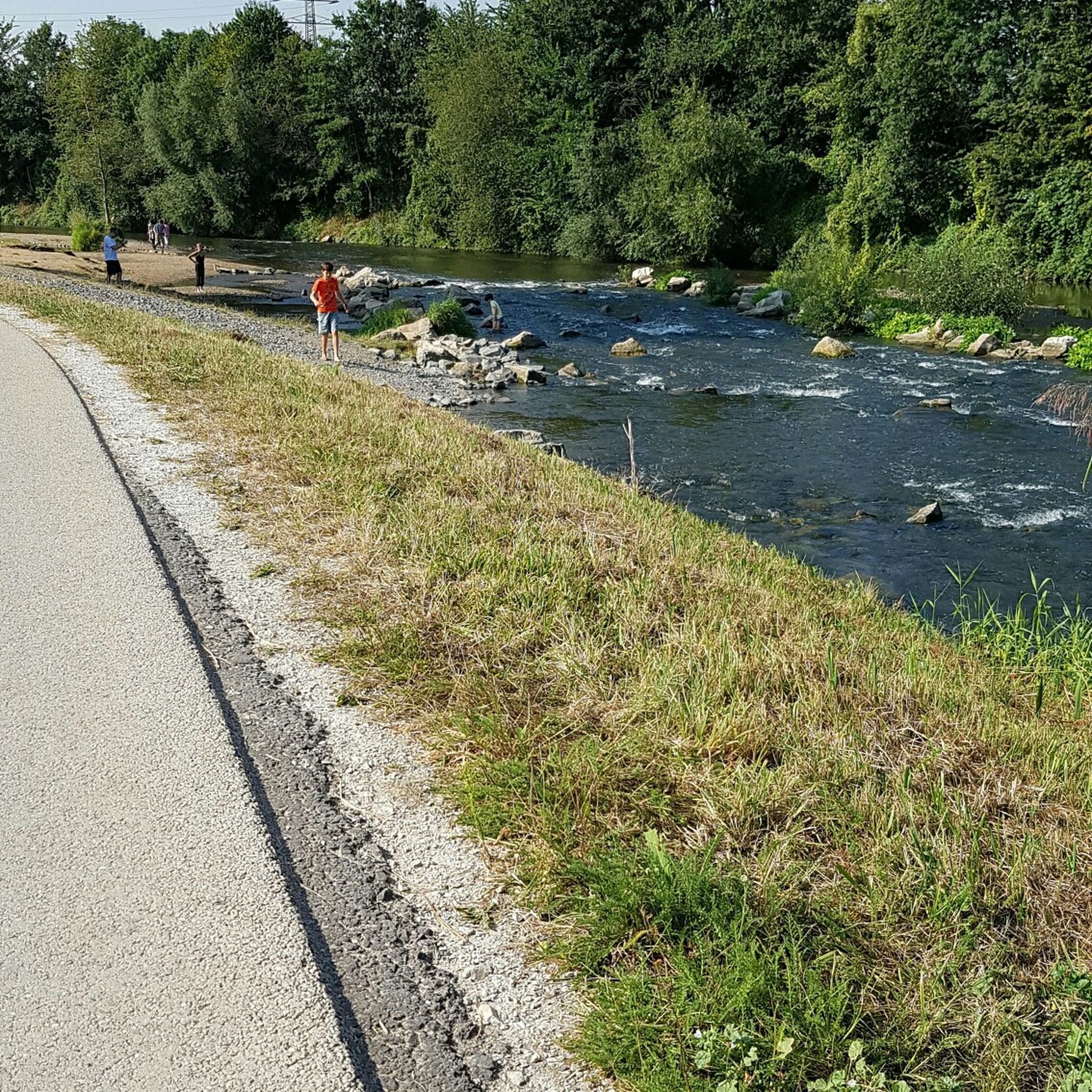
改修の詳細 新しい堰堤:約70メートルの緩やかにカーブした堰堤が、グリルシェン・アルタームに水を導きます。 川底のスロープとランプ:ニッダ川の本流では、粗い石の積み重ね(川底ランプ)が自然な高低差を調整します。 魚道:新しい魚道により、魚はマイン川から上流のニッダ川まで自由に移動できるようになります。
0
0
完了:フランクフルト市下水道の改修工事は、2年半の工期を経て、2025年8月に正式に完了しました。
0
0
新しい横堰:約70メートルの長さでわずかに湾曲した横堰が、Grillの旧河道に水を導きます。底面スロープとランプ:Nidda川の本流には、粗い石積みの底面スロープがあり、自然な高低差を解消します。魚道:新しい魚道により、魚はマイン川からNidda川上流まで自由に移動できます。
0
0
マイン・タウヌス・クライスでのの人気ルート
マイン・タウヌス・クライスでのの人気観光スポット

komootモバイルアプリでインスピレーションを得よう


探していたものは見つかりませんでしたか?
マイン・タウヌス・クライスの下にある他のサイクリングルートをチェックして、目的地で完璧なルートを見つけましょう。
さらに探索
他の地域の最高のサイクリングルートを見てみましょう。
