マースのおすすめウォーキング&ハイキングルート
4.4
(43474)
205,011
ハイカー
6,718
ハイキング
マースでのハイキングに出かけて、ナミュールのこのエリアを探索してみませんか?このガイドでご紹介するのは、komootがマースでのハイキング・ウォーキングルートのコレクション全体を評価して選び抜いた、このエリアの人気ハイキングルートです。あなたに合った でのハイキングを見つけるには、他のユーザーがアップロードした役立つ情報や写真を閲覧し、各ルートに関するみんなの意見やコメントを参考にしましょう。
最終更新日: 7月 15, 2026
4.7
(560)
1,779
ハイカー
10.1km
02:51
190m
190m
中程度のハイキング. ある程度のフィットネスレベルが必要です。 全般的に進みやすいルートです。安定して歩行できる技術が必要です。
4.7
(559)
1,837
ハイカー
13.2km
03:21
30m
30m
中程度のハイキング. ある程度のフィットネスレベルが必要です。 進みやすいルートです。あらゆるスキルレベルに適しています。

無料新規登録
4.7
(228)
748
ハイカー
8.76km
02:13
20m
20m
Hike a moderate 5.4-mile loop around the Reindersmeer in De Maasduinen National Park, enjoying diverse landscapes and lake views.
4.7
(206)
700
ハイカー
14.6km
03:52
140m
140m
中程度のハイキング. ある程度のフィットネスレベルが必要です。 進みやすいルートです。あらゆるスキルレベルに適しています。
4.7
(189)
658
ハイカー
6.01km
01:48
200m
200m
初級者向けハイキング. あらゆるフィットネスレベルに適しています。 進みやすいルートです。あらゆるスキルレベルに適しています。
4.6
(178)
635
ハイカー
7.76km
02:11
170m
170m
Hike the moderate 4.8-mile Les Cascatelles Promenade, featuring picturesque waterfalls, diverse forests, and panoramic views of the Meuse va
4.5
(134)
526
ハイカー
7.33km
02:05
170m
170m
Hike the moderate Les Sept Meuses Loop, a 4.6-mile trail offering panoramic views of the Meuse valley and its famous bends.
4.6
(165)
458
ハイカー
12.2km
03:24
230m
230m
中程度のハイキング. ある程度のフィットネスレベルが必要です。 進みやすいルートです。あらゆるスキルレベルに適しています。
4.7
(110)
345
ハイカー
15.9km
04:02
30m
30m
Hike the moderate 9.9-mile Royal Dutch Touring Club route through National Park De Maasduinen, exploring dunes, forests, and lakes.
4.7
(113)
458
ハイカー
14.9km
03:55
140m
140m
中程度のハイキング. ある程度のフィットネスレベルが必要です。 進みやすいルートです。あらゆるスキルレベルに適しています。
さらに多くのルートや他のユーザーのおすすめ情報を確認できます。
無料新規登録
すでにアカウントをお持ちですか?
おすすめのツアーは他のkomootユーザーが実際に経験した何千ものアクティビティに基づいています。
無料アカウントで今日から始めよう
次の冒険が待っています。
ログインまたは登録
マース周辺で人気
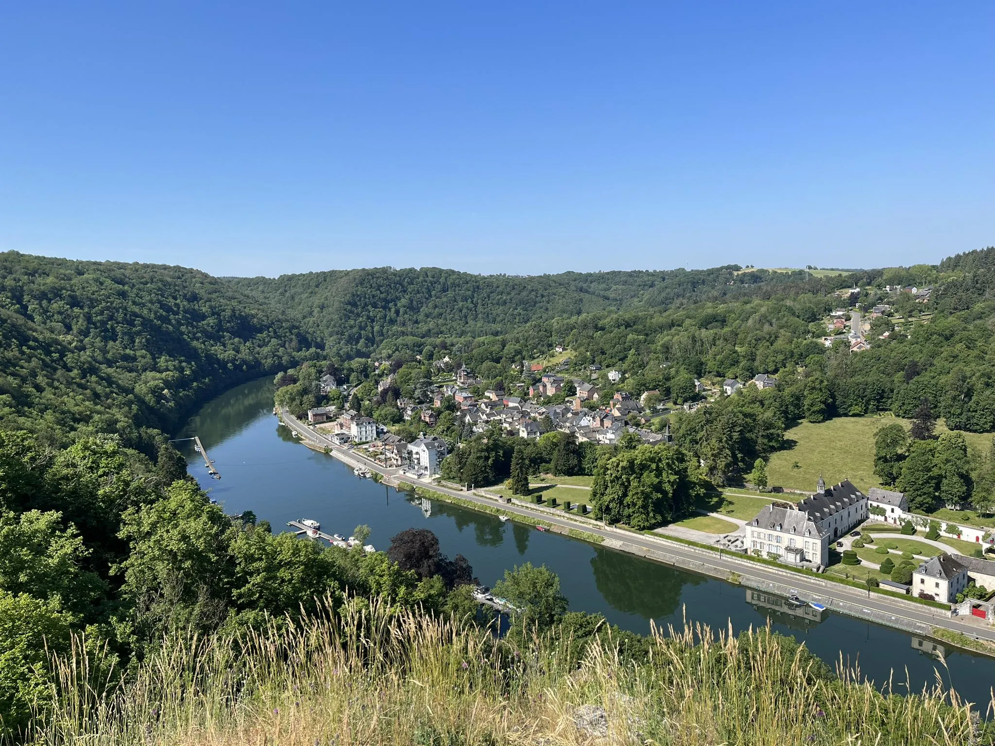
自然とガストロノミー — トラピスト修道院の小径 パート1
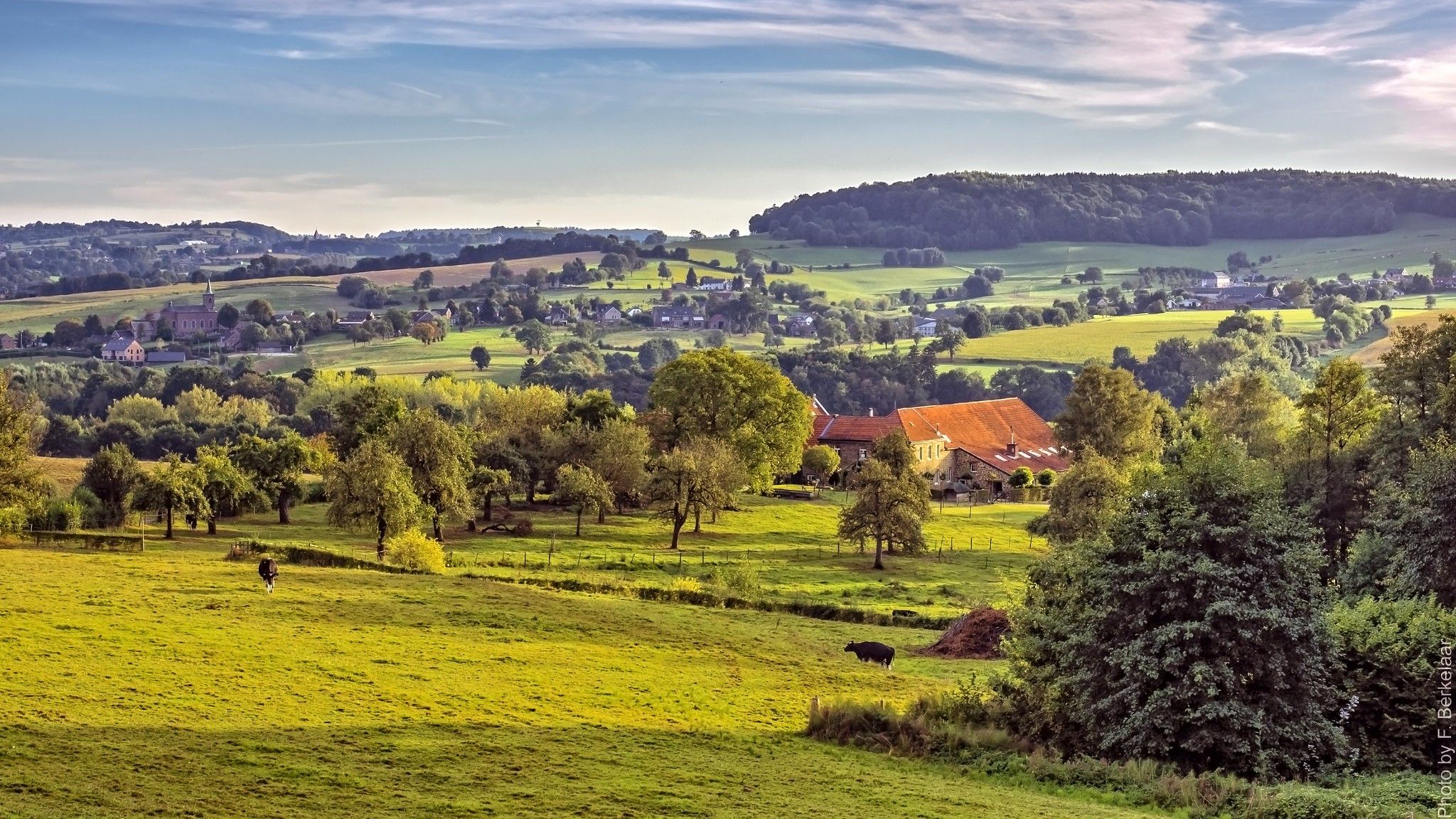
ʼs-ホルトゲンボスヒュからマーストリヒュト(そしてそれ以上)– ペルグリムロード第2部
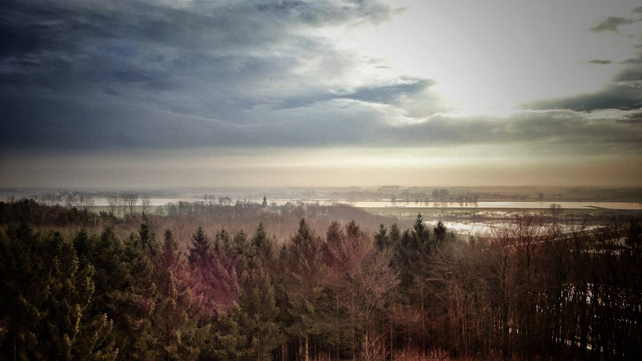
マーテン・ファン・ロススムパッド - 'スールトーゲンボスヒュからステーンヴィークへ
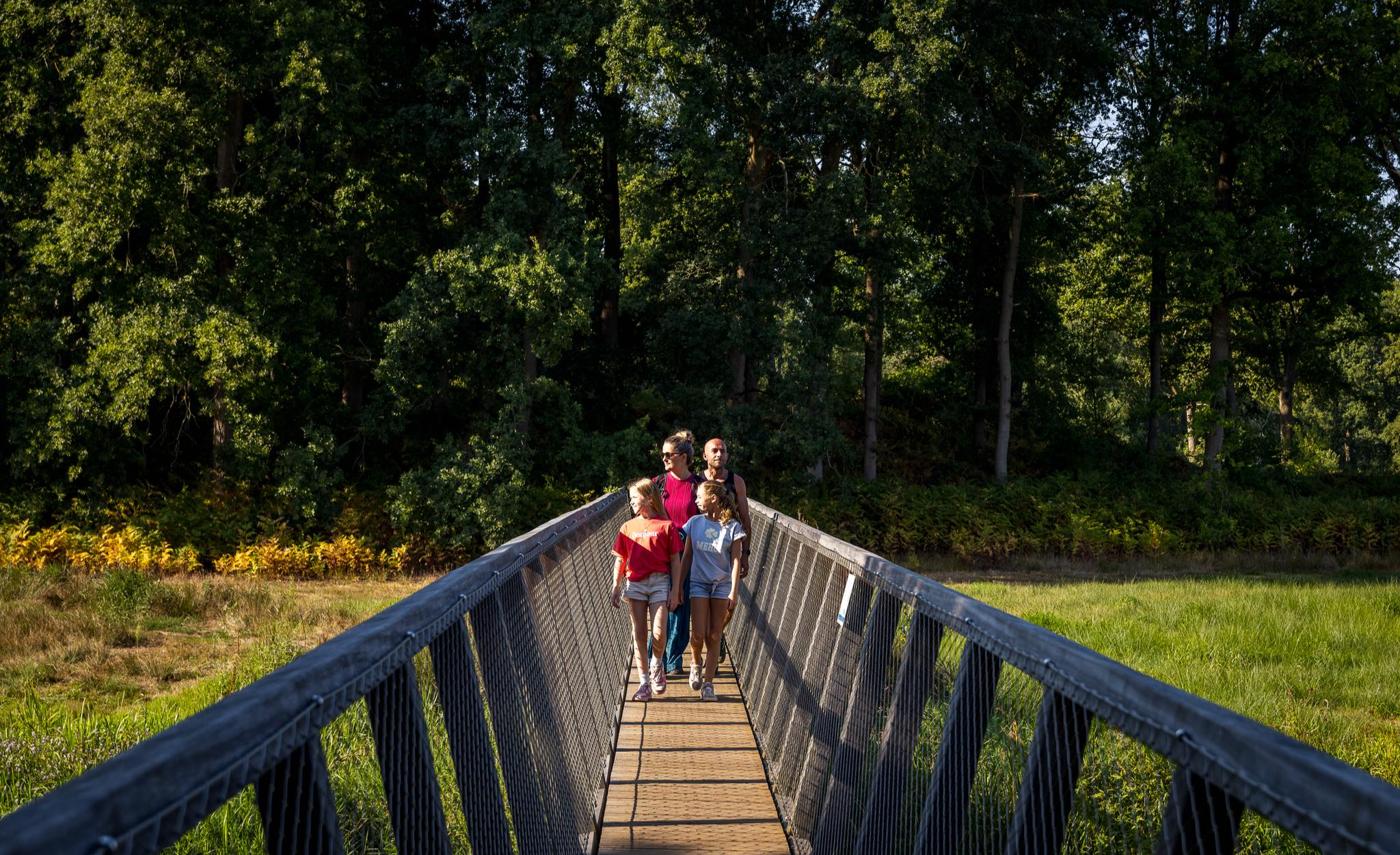
Flanders’ Finest Hiking Routes
Hiking in Brabant – in Van Gogh’s footsteps in Southern Netherlands
ウィツワーエン ボッセンとウィテルワールデンの間 - 街道パッド ナイメーヘン
徒歩ブラバント8日間 – ランド・ファン・キュイクパット(SP 14)
Langs de waterlijn van de Sint-Elisabethsvloed – Biesboschpad
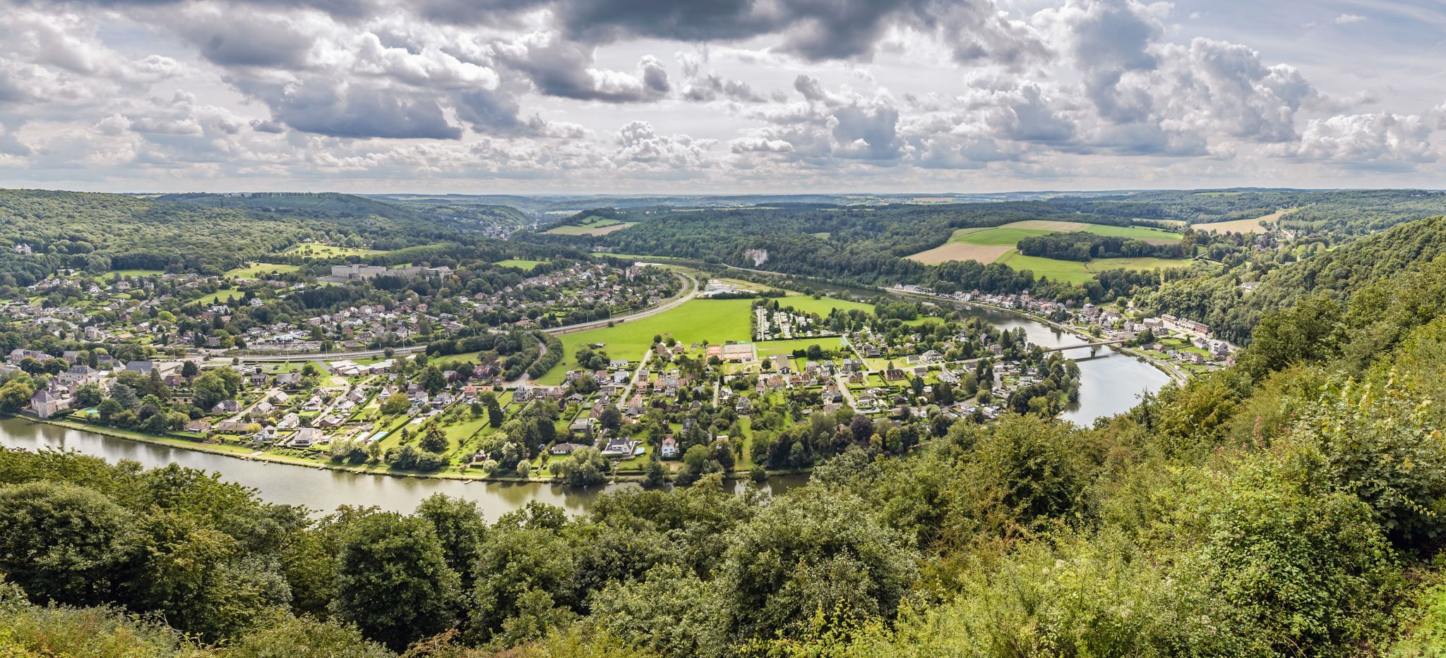
From station to station — hiking in the romantic Meuse Valley
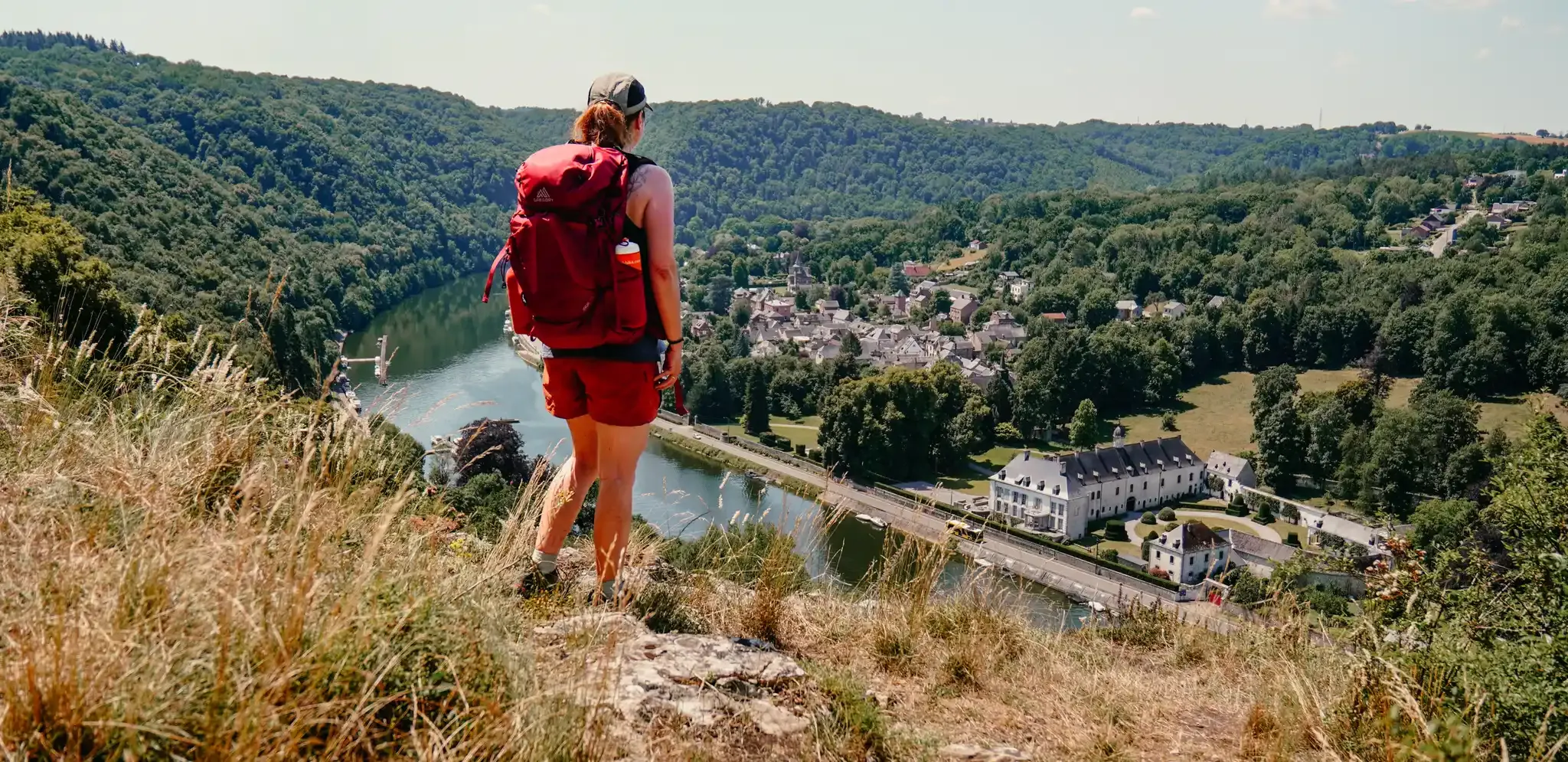
Meuse Valley – hiking in Wallonia between the Lesse and the Meuse
マースでのの他の冒険


コミュニティからのヒント


飛び石を渡ってハイキングコースを進んでください。楽しい挑戦ですが、少し助けが欲しい人のために、しっかりしたロープが用意されています。
2
0


Reindersmeerの南、自治体の森には、ハイカー、サイクリスト、MTBライダー、そして砂地の丘を恐れないよりスポーティなハイカー向けの素晴らしいトレイルのミックスがあります。自然の美しい変化で、Wellとドイツ国境のほぼ中間に位置するWezerwegには、小さくて通常は静かな駐車場があります。ここから出発する人は、森に覆われた風景を通して、時折、風景が非常に異なるため、この印象的な湖に突然遭遇するとは想像できないでしょう。
4
0
高台にある小さな木造展望台。眼下には、ReindersmeerとLeukermeerを結ぶ閘門施設への運河が見え、右側にはReindersmeerにかかる木造橋と、その奥に湖が見えます。
6
0


On a radiant autumn day in 1954, the then-small residents of De Bisselt lined up on the Bisseltsebaan. A colorful procession approached from Bethanië, today known as Jachtslot de Mookerheide, with the Maastricht statue of Mary Star of the Sea at its center. It was carried by several young people from De Bisselt, accompanied by the then-Bishop Lemmens of Roermond. The bishop visited the parishes of his diocese with this statue. But De Bisselt had no chapel or church, even though residents desired one. The bishop heard about it and decided to visit De Bisselt in 1954. The Maastricht statue was then placed in a makeshift chapel of pine branches and autumn leaves, accompanied by prayer and song, including the song "O Star of the Sea." Local residents had previously placed a cross and flowers at the temporary resting place of a German soldier who had died in this neighborhood at the end of World War II. The chapel, which took shape after Bishop Lemmens's visit, has been maintained by local residents for years, but remains temporary. Construction finally began in late 2013 on a small, new, contemporary forest chapel that is recognizable and will stand the test of time. Source and more information: www.boskapeldebiesselt.nl
2
0

komootモバイルアプリでインスピレーションを得よう


