ロビゴ周辺のおすすめ犬連れハイキング&ウォーキング
4.3
(1098)
12,248
ハイカー
19
ハイキング
犬に優しいローヴィゴのハイキングコースは、主にポーデルタ公園とエウガネオ丘陵(Colli Euganei)によって特徴づけられる多様な風景へのアクセスを提供します。ポーデルタは広大な湿地、塩水ラグーン、松林、海岸砂丘を擁し、自然に焦点を当てた散策に適した、ほぼ平坦な地形を提供します。西側には、エウガネオ丘陵が81の火山性のピークにわたるトレイルネットワークを備え、様々な標高とパノラマビューを提供します。この地域は、簡単な平坦な道と、丘陵地帯を抜ける起伏のあるルートのミックスを提供します。
ローヴィゴの犬に優しい最高のハイキングコース
- 最も人気のある犬に優しいハイキングルートは、ムラ・ディ・フェラーラからのサン・トマソの砦 – 山の砦ループで、8.6マイル(13.9 km)のトレイルで、所要時間は3時間31分です。この適度なルートは、歴史的な城壁に沿った緩やかな高低差が特徴です。
- 地元のハイカーに人気のもう一つのルートは、キオッジャからのユニオン島橋 – レ・テグヌエビーチループで、適度な7.4マイル(11.8 km)のパスです。このルートは、海岸の風景とアドリア海の景色を提供します。
- 地元のハイカーに愛されているのは、フェラーラからのバラルド・デッラモーレ – フェラーラの城壁ループで、4.0マイル(6.4 km)のトレイルは歴史的な城壁を通り抜け、所要時間は約1時間36分です。
- ローヴィゴでのハイキングは、平坦な川沿いの道、海岸砂丘、火山性の丘によって特徴づけられます。このネットワークは、簡単な散策から適度な登りまで、様々なレベルのオプションを提供します。
- ローヴィゴのルートは、170件以上のレビューから平均4.37つ星という高い評価をkomootコミュニティから受けています。1700人以上のハイカーがkomootを使用して、ローヴィゴの多様な地形を探索しました。
最終更新日: 9月 4, 2026
4.0
(2)
53
ハイカー
4.33km
01:06
10m
10m
初級者向けハイキング. あらゆるフィットネスレベルに適しています。 進みやすいルートです。あらゆるスキルレベルに適しています。
4.5
(8)
113
ハイカー
21.1km
05:17
10m
10m
難しいハイキング. 標準以上のフィットネスレベルが必要です。 進みやすいルートです。あらゆるスキルレベルに適しています。

4.6
(13)
286
ハイカー
中程度のハイキング. ある程度のフィットネスレベルが必要です。 進みやすいルートです。あらゆるスキルレベルに適しています。
4.5
(4)
82
ハイカー
13.9km
03:31
30m
30m
中程度のハイキング. ある程度のフィットネスレベルが必要です。 進みやすいルートです。あらゆるスキルレベルに適しています。
5.0
(1)
26
ハイカー
7.79km
01:58
20m
20m
初級者向けハイキング. あらゆるフィットネスレベルに適しています。 進みやすいルートです。あらゆるスキルレベルに適しています。
さらに多くのルートや他のユーザーのおすすめ情報を確認できます。
すでにアカウントをお持ちですか?
おすすめのツアーは他のkomootユーザーが実際に経験した何千ものアクティビティに基づいています。
無料アカウントで今日から始めよう
次の冒険が待っています。
ロビゴ周辺で人気

ポーデルタの犬連れハイキング

パルコリージョナルベネトデルデルタデルポーの犬連れハイキング

パルコリージョナルデルデルタデルポーの犬連れハイキング
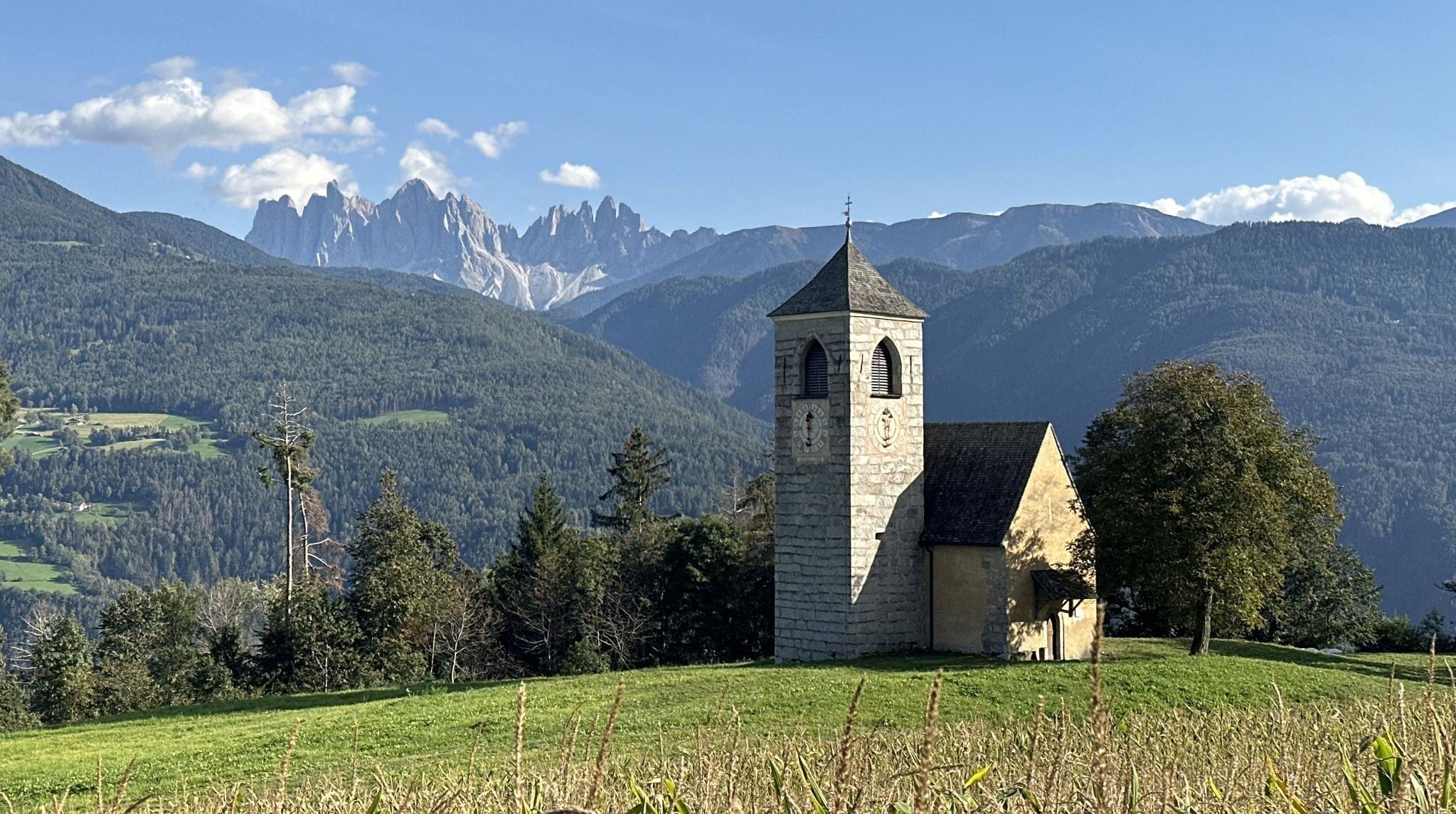
歴史と自然と精神性 - ビア・ロメア・ジェルマニカの冒険
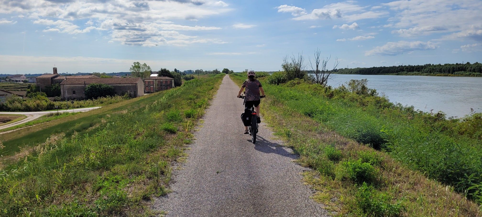
イタリアの最長の河、ポ河沿いのサイクリングコースでの全面的な経験
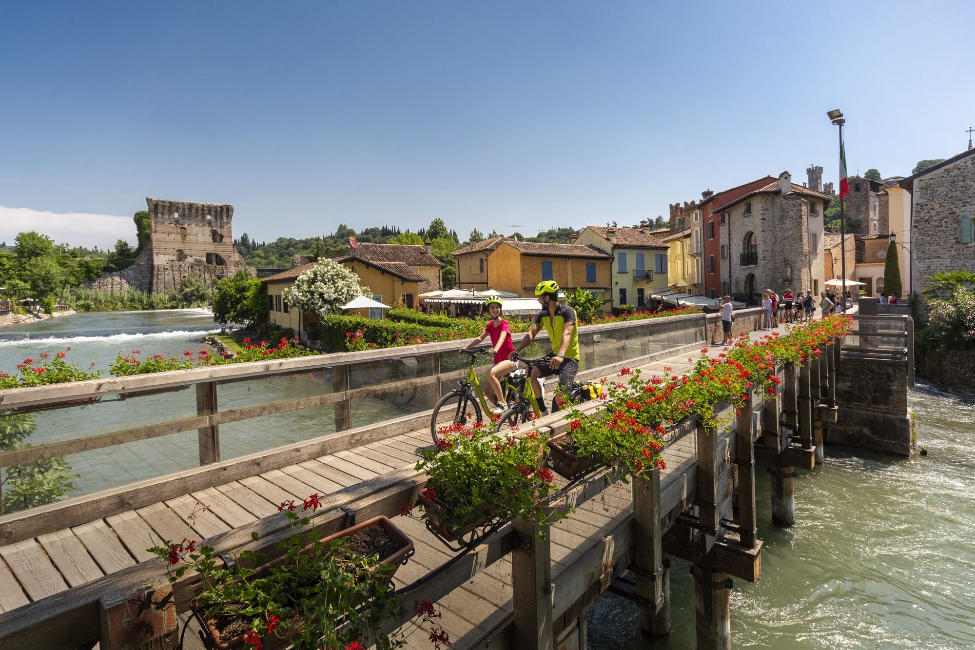
Explore Veneto at a slow pace – day trips by bike
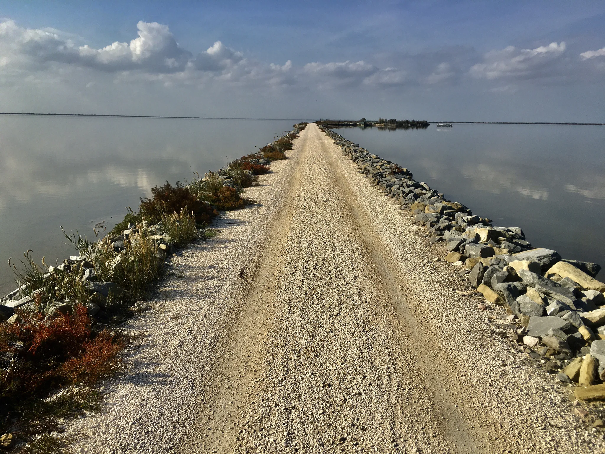
海、ラグーナ、そして自然 - Poデルタを発見してください
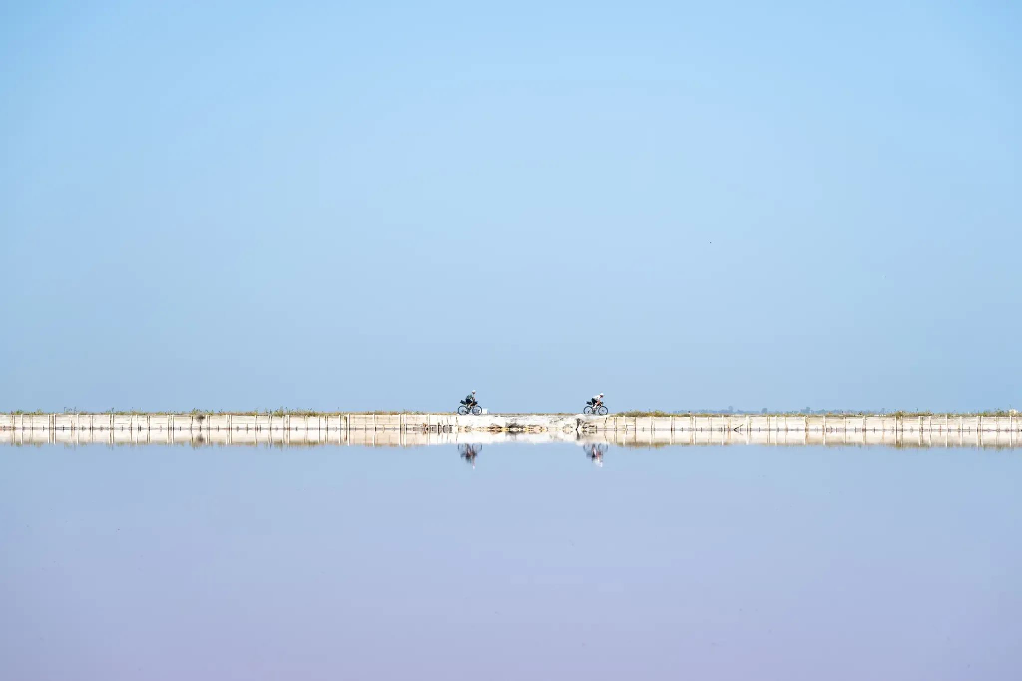
トリエステからサンタマリアディレウカまで - アドリアアイクルルート
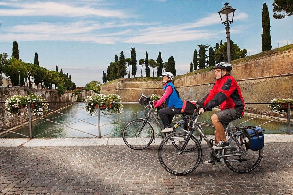
Between Lake Garda and the Adriatic Sea – cycle Tours in Italy’s Veneto
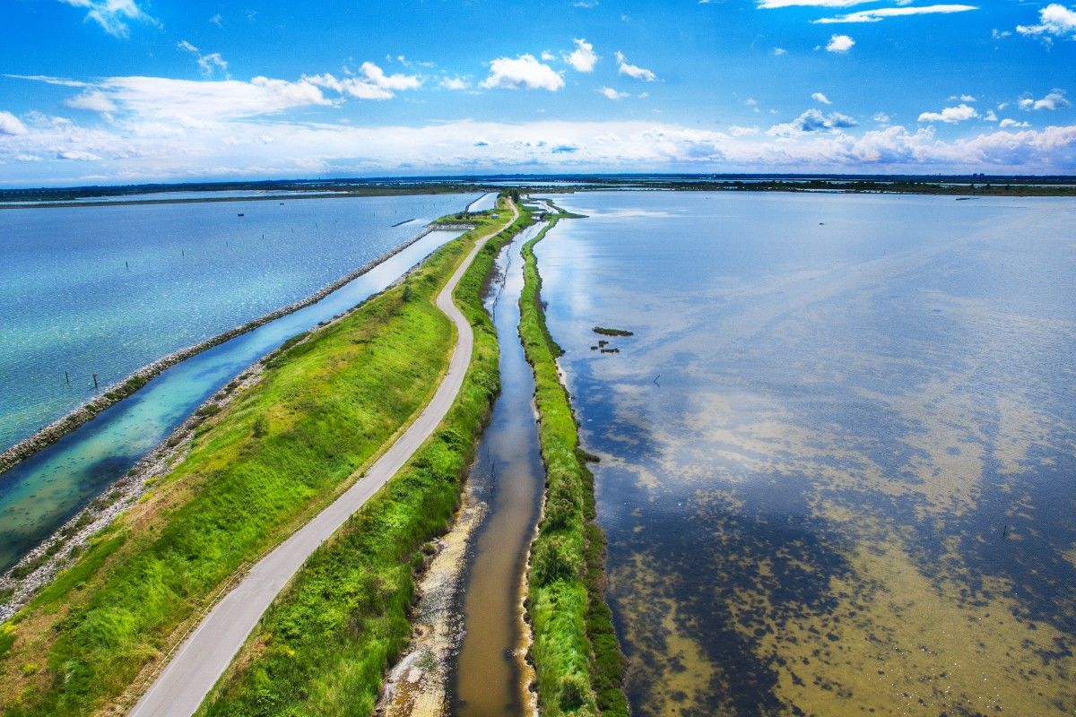
Delta del Po in e-bike – itinerari tra fiume, mare e laguna con DINAclub
ロビゴでのの他の冒険


コミュニティからのヒント

One of the major projects completed during the Fascist era is the Sottomarina Dam, which, together with the Ca' Roman Dam built a few years earlier, completes the mouth of the Port of Chioggia. Construction began in the years following the First World War. Like the Murazzi (sea walls), the dam was constructed of brick and boulders of local Istrian stone and, in addition to finally completing the entrance to the Port of Chioggia, also allowed for a further expansion of the beach. The inauguration, as mentioned, took place in the midst of the Fascist regime on April 28, 1935, in the presence of the Duke of Aosta. The dam was immediately embraced by the local population, especially the residents of Sottomarina, a popular destination for their walks, so much so that many refer to it as "Sailors' Square." Text / Source: Lidi di Chioggia https://www.lididichioggia.it/la-diga-murazzi/
15
0
The Dam and the Walls, Sottomarina The Dam and the Walls The Walls are Istrian stone walls built by the Republic of Venice starting in the late 18th century to protect the inhabited centers of the lagoon from marine erosion. They are divided into three sections: one on the island of Lido, a second on the island of Pellestrina as far as Cà Roman, and a third along the coast of Sottomarina, running from Forte San Felice to the center of Sottomarina at a height of approximately 1200 meters. The famous War of Chioggia led to the complete destruction of Sottomarina, which became an uninhabited area, exposed to the sea without any protection and subject to frequent flooding. Reconstruction, which included the construction of the Walls, did not begin until 1600. The Walls along Via San Felice were more than 5 kilometers long and over 300 meters wide. They were built from square stones, primarily Istrian stone, erected on stilts extending to the Pellestrina coast and, of course, the Sottomarina coast. Initially, given the scale of the project and the lack of adequate equipment, construction seemed impossible, so it took thirty-eight years to complete in 1770. Legend has it that the inscription "Ausu romano, aere veneto" (With Roman boldness, with Venetian money) was already in place. The inscription is still visible when passing by on the Chioggia-Pellestrina vaporetto. The Murazzi ceased to function between the late 19th and early 20th centuries when the receding sea revealed an unexpected beach, thus forming a symbolic dividing line between "old" and "new" Sottomarina. Today, the Murazzi di Sottomarina are located about one kilometer from the sea: this has allowed for a large-scale revival of coastal tourism. The Murazzo now connects the entire Venetian coast, especially the outer islands, like a cordon, leaving only the three bays open, thus preserving the lagoon's waters. Text / Source: Lidi di Chioggia https://www.lididichioggia.it/la-diga-murazzi/
15
0
The Dam and the Walls, Sottomarina The Dam and the Walls The Walls are Istrian stone walls built by the Republic of Venice starting in the late 18th century to protect the inhabited centers of the lagoon from marine erosion. They are divided into three sections: one on the island of Lido, a second on the island of Pellestrina as far as Cà Roman, and a third along the coast of Sottomarina, running from Forte San Felice to the center of Sottomarina at a height of approximately 1200 meters. The famous War of Chioggia led to the complete destruction of Sottomarina, which became an uninhabited area, exposed to the sea without any protection and subject to frequent flooding. Reconstruction, which included the construction of the Walls, did not begin until 1600. The Walls along Via San Felice were more than 5 kilometers long and over 300 meters wide. They were built from square stones, primarily Istrian stone, erected on stilts extending to the Pellestrina coast and, of course, the Sottomarina coast. Initially, given the scale of the project and the lack of adequate equipment, construction seemed impossible, so it took thirty-eight years to complete in 1770. Legend has it that the inscription "Ausu romano, aere veneto" (With Roman boldness, with Venetian money) was already in place. The inscription is still visible when passing by on the Chioggia-Pellestrina vaporetto. The Murazzi ceased to function between the late 19th and early 20th centuries when the receding sea revealed an unexpected beach, thus forming a symbolic dividing line between "old" and "new" Sottomarina. Today, the Murazzi di Sottomarina are located about one kilometer from the sea: this has allowed for a large-scale revival of coastal tourism. The Murazzo now connects the entire Venetian coast, especially the outer islands, like a cordon, leaving only the three bays open, thus preserving the lagoon's waters. Text / Source: Lidi di Chioggia https://www.lididichioggia.it/la-diga-murazzi/
15
0

Beautiful place to watch the sun rise
1
0

北にはカ・ロマンのオアシスとペッレストリーナ島、南にはソットマリーナの長い砂浜、東にはアドリア海の広がり、そして晴れた日にはエウガネア丘陵に沈む魅力的な夕日を眺めることができるパノラマビューポイント。
1
0


A very nice campsite, open as early as mid-March. All campsites are still closed at this time. Showers, toilets, and electricity available. €25.00 on weekends - €20.00 on weekdays with electricity included.
0
0

It opens in the Rossetti walls at the end of Corso Ercole I d'Este. Born as a watchtower, it was the ancient access to the ducal hunting estate of Barco, located where the "G. Bassani" Urban Park is now located. Rampari di Belfiore, 1, 44121 Ferrara FE
1
0
よくある質問
ロヴィーゴには、犬と一緒に楽しめるハイキングコースがいくつありますか?
ロヴィーゴ地域には、10以上の犬同伴可能なハイキングコースがあり、あなたと愛犬に様々な体験を提供します。簡単な散策から、より適度な冒険まで、幅広い選択肢が見つかります。
ロヴィーゴ近郊の犬同伴可能なハイキングでは、どのような地形が期待できますか?
地形は大きく異なります。ポーデルタ自然公園では、湿地帯、古代の松林、川岸に沿った、リラックスした散歩に最適な、ほとんど平坦な小道が期待できます。エウガネイ丘陵地帯へ足を延ばせば、起伏のある火山性の丘とパノラマビューに出会えるでしょう。
すべての体力レベルに適した、簡単な犬同伴可能なコースはありますか?
はい、ロヴィーゴにはいくつかの簡単な犬同伴可能なコースがあります。例えば、フェラーラ・ヴィア・ボスケートからのサン・ピエトロ・ゲート – サン・ピエトロ・バスティオン周回コースは、穏やかな選択肢です。ポーデルタ公園内の多くのルートも平坦でアクセスしやすく、愛犬とのゆったりとした散歩に最適です。
この地域で、適度な難易度の犬同伴可能なハイキングオプションはありますか?
より適度な挑戦を求めるなら、キオッジャからのユニオン島橋 – レ・テグヌエ海岸周回コースのような、より長い距離のコースを検討してみてください。エウガネイ丘陵地帯も、絵のように美しい風景の中を穏やかな上り下りがある、数多くの適度な難易度のコースを提供しています。
これらのコースで、私と愛犬はどのような自然の特徴を探検できますか?
多様な自然の特徴を探検できます。ポーデルタ自然公園は、ユニークな湿地帯、海岸砂丘、そして枯れ木のラグーンがあり、ハイライトです。フラミンゴや他の野鳥を見かけるかもしれません。エウガネイ丘陵地帯は、火山性の景観と豊かな緑を提供します。ヴェネト沿岸植物園は、ユニークな自然体験にぜひ訪れてみてください。
ロヴィーゴ近郊には、犬同伴可能な円形のルートはありますか?
もちろんです!多くのコースはループ状に設計されており、愛犬との変化に富んだ散歩に最適です。例としては、フェラーラからのバラルド・デッラモーレ – フェラーラ城壁周回コースや、ムラ・ディ・フェラーラからのサン・トマソ・バスティオン – モンターニャ・バスティオン周回コースがあります。これらの円形ルートは、同じ場所から出発・終了でき、同じ道を戻る必要がありません。
ロヴィーゴで愛犬とハイキングするのに最適な時期はいつですか?
一般的に春と秋が最適な季節です。春には野花が咲き、気温も快適です。秋には、特にエウガネイ丘陵地帯で鮮やかな紅葉が見られます。夏は暑くなることがありますが、ポーデルタの松林の木陰などでは、早朝や夕方の散歩が楽しめます。暖かい月には、日差しや蚊に注意してください。
ロヴィーゴの犬同伴可能なコースについて、他のハイカーが最も楽しんでいる点は何ですか?
この地域はkomootコミュニティから高く評価されており、平均スコアは4.37つ星です。レビュアーは、ポーデルタの自然景観の静けさ、よく整備された小道、そして混雑を避けて愛犬と一緒に自然を楽しめる機会をしばしば称賛しています。湿地帯から火山性の丘まで、多様な風景も頻繁にハイライトされています。
ポーデルタのような自然公園で犬をハイキングさせる際の特別な規則はありますか?
ポーデルタ公園のような保護区で犬をハイキングさせる場合、特に地上で営巣する鳥類などの地元の野生生物を保護するため、通常はリードにつなぐことが義務付けられています。常に犬の排泄物を片付け、アクセスやペットに関する特定の規制に関する掲示を尊重してください。ポーデルタ公園に関する詳細情報については、podeltatourism.itをご覧ください。
犬同伴可能なルートの近くに、歴史的建造物や城はありますか?
はい、犬同伴可能なハイキングと歴史的な場所への訪問を組み合わせることができます。一部のルートの近くには、トッレ・モロシーニやロヴィーゴ城の塔のようなランドマークが見つかるかもしれません。すべての歴史的建造物に犬が立ち入れるわけではありませんが、周囲の敷地や外観の眺めは、しばしば快適な立ち寄り先となります。
犬同伴可能なコースの駐車場や公共交通機関についてはどうですか?
多くの登山口、特に田舎や自然公園にある場所には、専用の駐車場があります。公共交通機関については、場所によって異なります。トレイルアクセスポイントの近くの大きな町にはバスや電車のサービスがあるかもしれませんが、ペットに関する現地の交通規制を確認することをお勧めします。規則は異なる場合があります。最も便利なアクセスポイントを特定するには、事前にルートを計画することが役立ちます。
ロビゴでのの人気観光スポット

komootモバイルアプリでインスピレーションを得よう


探していたものは見つかりませんでしたか?
ロビゴの下にある他のハイキングをチェックして、目的地で完璧なルートを見つけましょう。
