ヴェネツィア周辺のおすすめ犬連れハイキング&ウォーキング
4.4
(4819)
61,408
ハイカー
41
ハイキング
犬連れハイキングコースは、主にヴェネツィア潟、その島々、そして近くの沿岸地域のユニークな景観を探検します。地形は一般的に平坦で、砂浜、湿地帯、自然公園が特徴で、穏やかなウォーキング体験を提供します。ヴェネツィアでは伝統的な山岳ハイキングは直接見られませんが、この地域は海岸沿いの道や自然保護区を探検する多様な機会を提供しています。
ヴェネツィアのおすすめ犬連れハイキングコース
- 最も人気のある犬連れハイキングコースは、アイ・ガッビアーニ発の「Vallevecchia Beach – Wide Sandy Beach loop」で、所要時間4時間32分、距離18.0 km(11.2マイル)です。このコースは広大な砂浜と海岸の景色を楽しめます。
- 地元ハイカーに人気のもう一つのコースは、ヴァッレ・ヴェッキア発の「Tranquil Beach – Wide Sandy Beach loop (IT3250041)」で、中程度の難易度、距離11.9 km(7.4マイル)です。このトレイルは、静かなビーチ環境と自然の海岸景観が特徴です。
- 地元ハイカーに愛されているのは、キオッジャ発の「Union Island Bridge – Le Tegnue Beach loop」で、距離11.8 km(7.4マイル)、所要時間約2時間59分です。このコースは沿岸地域を通り、ビーチ沿いを歩きます。
- ヴェネツィアでのハイキングは、海岸沿いの道、砂浜、湿地の自然公園が特徴です。このネットワークは、様々なレベルの能力に対応するオプションを提供しており、簡単なコースが17、中程度のコースが17あります。
- ヴェネツィアのコースは、komootコミュニティから高く評価されており、4000件以上のレビューで平均4.4つ星を獲得しています。54,000人以上のハイカーがkomootを利用して、ヴェネツィアの多様な地形を探検しています。
最終更新日: 8月 21, 2026
4.7
(19)
173
ハイカー
7.33km
01:51
10m
10m
初級者向けハイキング. あらゆるフィットネスレベルに適しています。 進みやすいルートです。あらゆるスキルレベルに適しています。
4.6
(40)
144
ハイカー
中程度のハイキング. ある程度のフィットネスレベルが必要です。 進みやすいルートです。あらゆるスキルレベルに適しています。

無料新規登録
4.3
(14)
158
ハイカー
11.8km
02:58
10m
10m
中程度のハイキング. ある程度のフィットネスレベルが必要です。 進みやすいルートです。あらゆるスキルレベルに適しています。
4.5
(6)
135
ハイカー
4.35km
01:06
10m
10m
初級者向けハイキング. あらゆるフィットネスレベルに適しています。 進みやすいルートです。あらゆるスキルレベルに適しています。
4.5
(8)
113
ハイカー
21.1km
05:17
10m
10m
難しいハイキング. 標準以上のフィットネスレベルが必要です。 進みやすいルートです。あらゆるスキルレベルに適しています。
さらに多くのルートや他のユーザーのおすすめ情報を確認できます。
無料新規登録
すでにアカウントをお持ちですか?
おすすめのツアーは他のkomootユーザーが実際に経験した何千ものアクティビティに基づいています。
無料アカウントで今日から始めよう
次の冒険が待っています。
ログインまたは登録
ヴェネツィア周辺で人気

ベネチアンレイクオンの犬連れハイキング

ダルセナグランデの犬連れハイキング

ヴェネツィア・アルピナ経由 – アルプスを越えてアドリア海まで

ミュンヘンからヴェネツィアまで28ステージの「ドリームパス」ハイキングトレイル
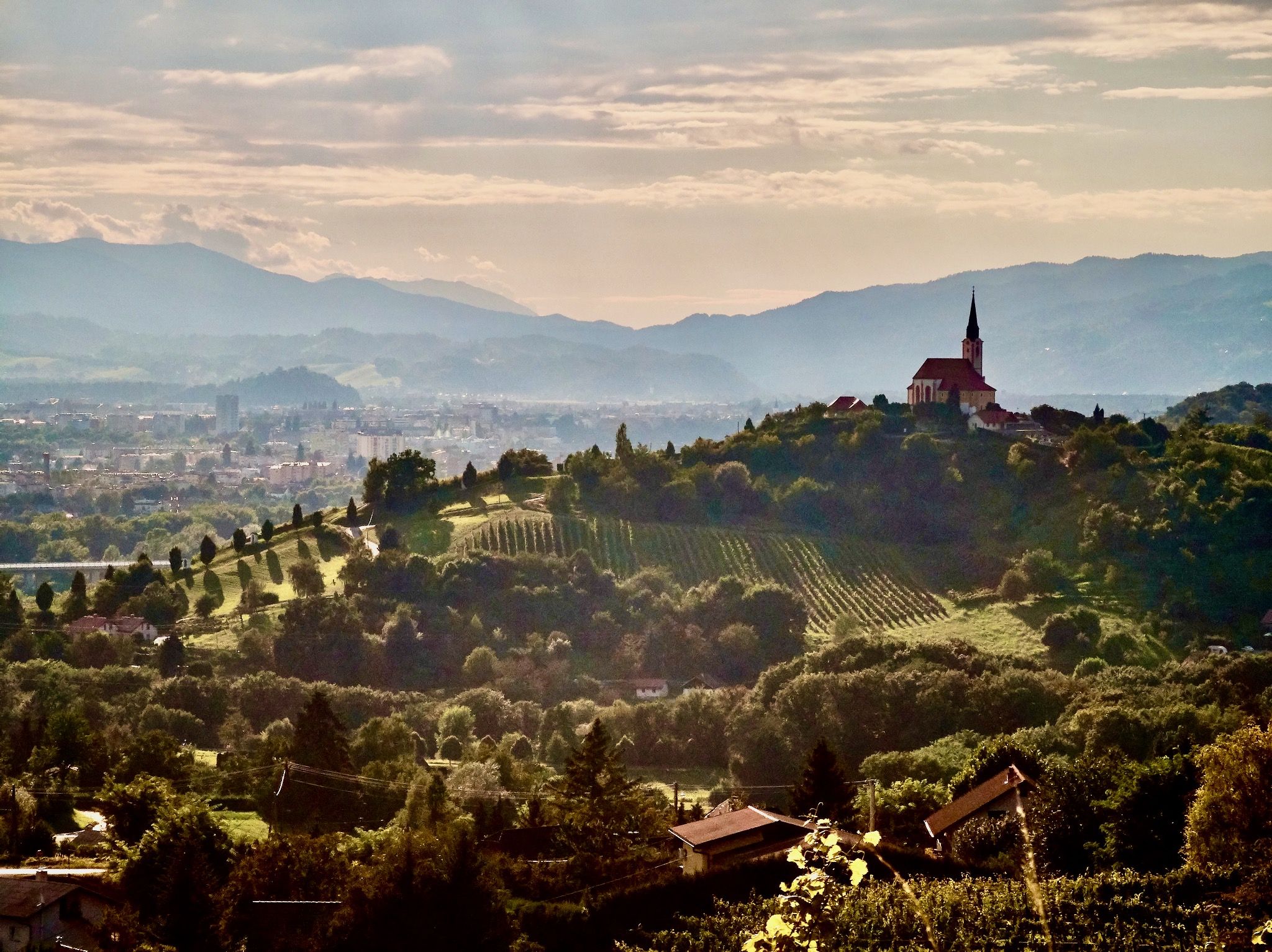
絶景のソーチャ谷を経由してブダペストからベニチアへ
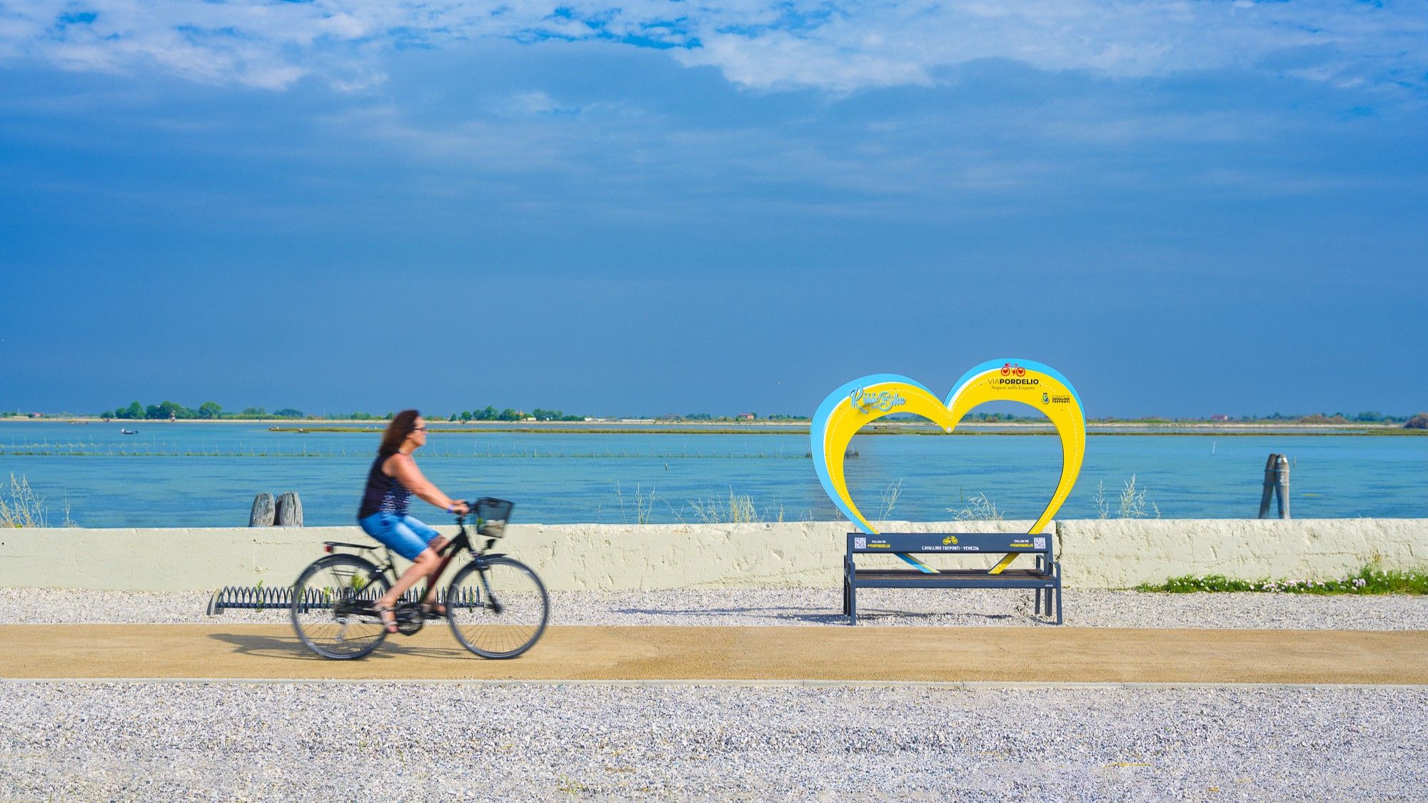
Cavallino Treporti by bike – routes to experience the lagoon
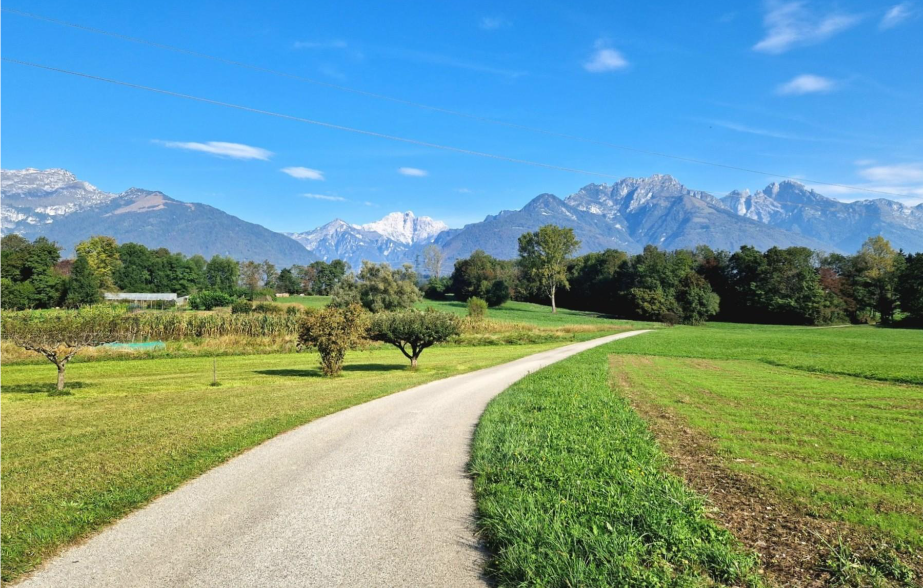
Veneto and Trentino by bike – between the Lagoon and the Dolomites
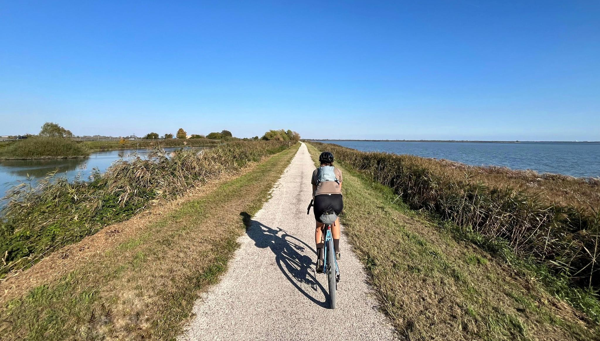
Jesolo Gravel Loop – between sandbanks and archaeology
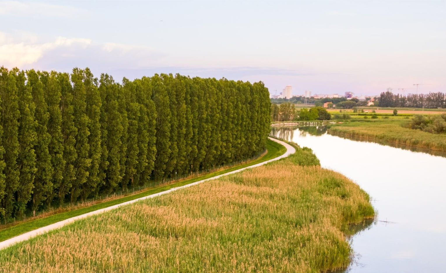
Cycling around Jesolo – between Sile, Piave and lagoon
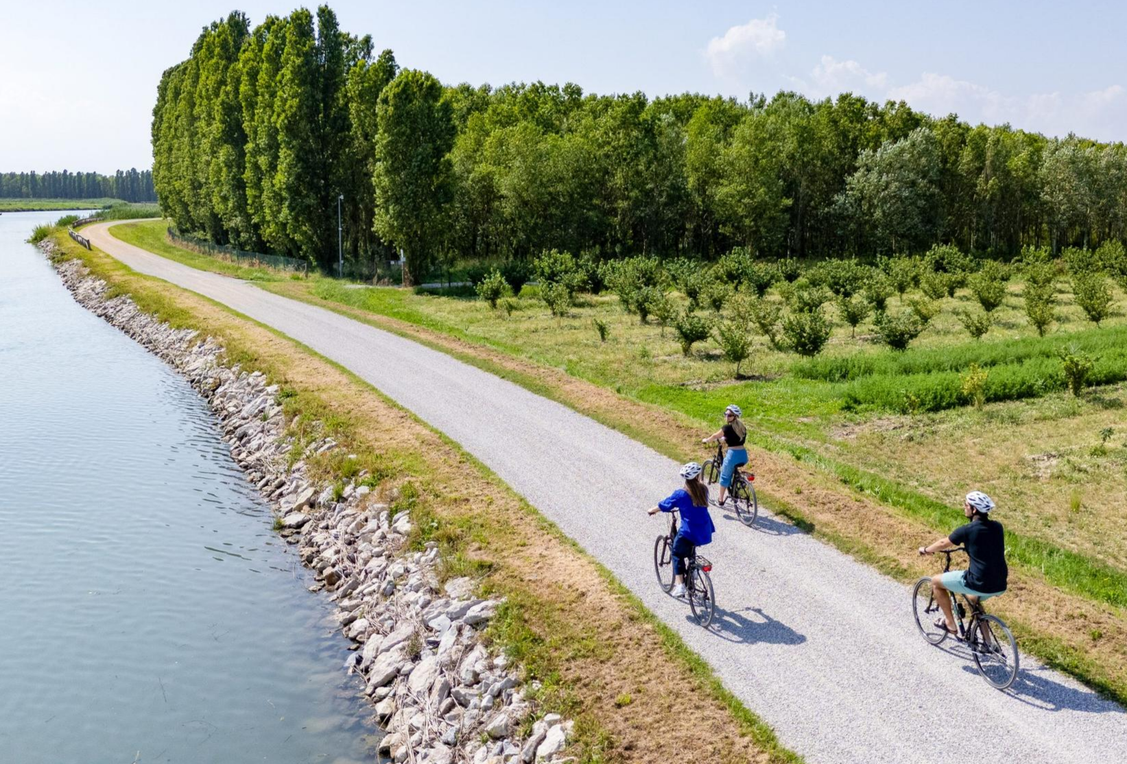
Exploring Jesolo by bike – two wheels, a thousand discoveries
ヴェネツィアでのの他の冒険


コミュニティからのヒント


One of the major projects completed during the Fascist era is the Sottomarina Dam, which, together with the Ca' Roman Dam built a few years earlier, completes the mouth of the Port of Chioggia. Construction began in the years following the First World War. Like the Murazzi (sea walls), the dam was constructed of brick and boulders of local Istrian stone and, in addition to finally completing the entrance to the Port of Chioggia, also allowed for a further expansion of the beach. The inauguration, as mentioned, took place in the midst of the Fascist regime on April 28, 1935, in the presence of the Duke of Aosta. The dam was immediately embraced by the local population, especially the residents of Sottomarina, a popular destination for their walks, so much so that many refer to it as "Sailors' Square." Text / Source: Lidi di Chioggia https://www.lididichioggia.it/la-diga-murazzi/
15
0
The Dam and the Walls, Sottomarina The Dam and the Walls The Walls are Istrian stone walls built by the Republic of Venice starting in the late 18th century to protect the inhabited centers of the lagoon from marine erosion. They are divided into three sections: one on the island of Lido, a second on the island of Pellestrina as far as Cà Roman, and a third along the coast of Sottomarina, running from Forte San Felice to the center of Sottomarina at a height of approximately 1200 meters. The famous War of Chioggia led to the complete destruction of Sottomarina, which became an uninhabited area, exposed to the sea without any protection and subject to frequent flooding. Reconstruction, which included the construction of the Walls, did not begin until 1600. The Walls along Via San Felice were more than 5 kilometers long and over 300 meters wide. They were built from square stones, primarily Istrian stone, erected on stilts extending to the Pellestrina coast and, of course, the Sottomarina coast. Initially, given the scale of the project and the lack of adequate equipment, construction seemed impossible, so it took thirty-eight years to complete in 1770. Legend has it that the inscription "Ausu romano, aere veneto" (With Roman boldness, with Venetian money) was already in place. The inscription is still visible when passing by on the Chioggia-Pellestrina vaporetto. The Murazzi ceased to function between the late 19th and early 20th centuries when the receding sea revealed an unexpected beach, thus forming a symbolic dividing line between "old" and "new" Sottomarina. Today, the Murazzi di Sottomarina are located about one kilometer from the sea: this has allowed for a large-scale revival of coastal tourism. The Murazzo now connects the entire Venetian coast, especially the outer islands, like a cordon, leaving only the three bays open, thus preserving the lagoon's waters. Text / Source: Lidi di Chioggia https://www.lididichioggia.it/la-diga-murazzi/
15
0
The Dam and the Walls, Sottomarina The Dam and the Walls The Walls are Istrian stone walls built by the Republic of Venice starting in the late 18th century to protect the inhabited centers of the lagoon from marine erosion. They are divided into three sections: one on the island of Lido, a second on the island of Pellestrina as far as Cà Roman, and a third along the coast of Sottomarina, running from Forte San Felice to the center of Sottomarina at a height of approximately 1200 meters. The famous War of Chioggia led to the complete destruction of Sottomarina, which became an uninhabited area, exposed to the sea without any protection and subject to frequent flooding. Reconstruction, which included the construction of the Walls, did not begin until 1600. The Walls along Via San Felice were more than 5 kilometers long and over 300 meters wide. They were built from square stones, primarily Istrian stone, erected on stilts extending to the Pellestrina coast and, of course, the Sottomarina coast. Initially, given the scale of the project and the lack of adequate equipment, construction seemed impossible, so it took thirty-eight years to complete in 1770. Legend has it that the inscription "Ausu romano, aere veneto" (With Roman boldness, with Venetian money) was already in place. The inscription is still visible when passing by on the Chioggia-Pellestrina vaporetto. The Murazzi ceased to function between the late 19th and early 20th centuries when the receding sea revealed an unexpected beach, thus forming a symbolic dividing line between "old" and "new" Sottomarina. Today, the Murazzi di Sottomarina are located about one kilometer from the sea: this has allowed for a large-scale revival of coastal tourism. The Murazzo now connects the entire Venetian coast, especially the outer islands, like a cordon, leaving only the three bays open, thus preserving the lagoon's waters. Text / Source: Lidi di Chioggia https://www.lididichioggia.it/la-diga-murazzi/
15
0

Get up early for the sunrise and enjoy the peace and quiet and enjoy the panoramic moment
0
0
よくある質問
ヴェネツィア地域には、犬と一緒にハイキングできるトレイルはいくつありますか?
ヴェネツィア地域には、30以上の犬同伴可能なハイキングトレイルがあります。簡単な散策から中程度の冒険まで、あらゆる犬と飼い主に対応できるものが揃っています。
ヴェネツィア近郊の犬同伴可能なトレイルでは、どのような地形が期待できますか?
地形は大きく異なります。ヴェネツィア自体は平坦ですが、より広い地域では、アドリア海沿岸の砂浜(例:ヴァッレヴェッキア・ビーチ・ループ)から、エウガネオ丘陵の起伏のある火山性の丘、さらに北の雄大なドロミーティの山頂まで、すべてを提供しています。海岸沿いの道、森のトレイル、そしてサン・ジュリアーノ公園周辺のような都市公園の散策路も見つかります。
ヴェネツィア地域では、犬がトレイルを利用するための特別な規則や許可証はありますか?
一般的に、ヴェネツィア地域のほとんどのトレイルでは、特に自然公園や田園地帯では、犬をリードにつなぎ、飼い主が後始末をすれば歓迎されます。ただし、自治体や保護区域によって規則が異なる場合があります。行く前に国立公園や特定の観光地の地方の規制を確認するのが常に最善です。ヴェネト地域訪問に関する一般的な情報については、visitvenezia.eu のリソースが役立つかもしれません。
ヴェネツィアでの犬同伴ハイキングに最適な季節は何ですか?
春と秋は、一般的にヴェネツィア地域での犬同伴ハイキングに最適な季節です。気候は穏やかで、景色は美しく、夏よりも混雑が少なくなります。夏は特に海岸沿いの開けたトレイルでは非常に暑くなるため、早朝または午後の遅い時間が望ましいです。冬は、特に高地では、澄んだ空気とユニークな景色を提供しますが、雪のため一部のトレイルはアクセスできなくなる可能性があります。
あらゆる体力レベルに適した、簡単な犬同伴可能なトレイルはありますか?
はい、この地域にある犬同伴可能なトレイルの約半数は簡単なものに分類されており、初心者、家族連れ、または高齢の犬に最適です。これらには、平坦な海岸沿いの散策路や、シレ川自然公園のような自然公園内の小道が含まれることがよくあります。例えば、ヴァッレ・ヴェッキアからの静かなビーチ・ループは、穏やかな海岸体験を提供します。
犬が泳げる水辺へのアクセスがある、犬同伴可能なトレイルを見つけることはできますか?
もちろんです!広大な海岸線と湖や川への近さを持つヴェネツィア地域では、犬が水を楽しめる機会がいくつかあります。アドリア海沿岸のトレイル(例:広い砂浜ループ)は、海への直接アクセスを提供します。さらに、ポー・デルタ地域やシレ川自然公園周辺には、犬が涼むことができる水路がありますが、常に地域の規制や水質に注意してください。
ヴェネツィア近郊の公共交通機関でアクセス可能な犬同伴可能なトレイルはありますか?
多くのトレイルは車でのアクセスが必要ですが、公共交通機関でアクセスできる地域もあります。例えば、ヴェネツィアラグーンの島々(リド島やサント・エラスモ島など)にあるトレイルは、ヴェネツィアからヴァポレット(水上バス)でアクセスできます。本土のトレイルについては、地方のバスが一部の出発地点に運行しているかもしれませんが、特に公共交通機関での犬のポリシーに関して、事前に特定のルートと時刻表を確認することをお勧めします。
犬同伴可能なハイキングで期待できる自然の特徴や景観ポイントは何ですか?
様々な自然の特徴や景観ポイントを発見できます。海岸沿いのトレイルからはアドリア海の見事な眺めが楽しめ、内陸のルートでは松林を抜けたり、エウガネオ丘陵のブドウ畑を通り抜けたり、川岸に沿って歩いたりすることができます。ハイライトには、パノラマビューを提供するヴェネツィアラグーンの展望塔や、静かなシレ川沿いのトレイルなどがあります。
他のハイカーは、ヴェネツィアでの犬同伴ハイキングで最も楽しんでいることは何ですか?
komootコミュニティはヴェネツィアの犬同伴可能なトレイルを高く評価しており、平均スコアは4.4つ星です。レビューでは、静かな海岸沿いの散策から緑豊かな公園まで、多様な景観と、愛犬と一緒に自然を探検できる機会がしばしば称賛されています。多くの人が、整備された小道と都会の喧騒からの逃避の機会を高く評価しています。
円形の犬同伴可能なウォーキングコースはありますか?
はい、ヴェネツィア地域の犬同伴可能なルートの多くは円形になっており、同じ道を戻ることなく出発点に戻ることができるため便利です。例としては、キオッジャからのユニオン島橋ループや、カンパルトからのボスコ・フランカの南湖ループがあり、これらの円形ルートは変化に富んだ景色を提供します。
ヴェネツィアでのの人気観光スポット

komootモバイルアプリでインスピレーションを得よう


探していたものは見つかりませんでしたか?
ヴェネツィアの下にある他のハイキングをチェックして、目的地で完璧なルートを見つけましょう。
