ポーデルタ周辺のおすすめ犬連れハイキング&ウォーキング
4.3
(929)
9,535
ハイカー
6
ハイキング
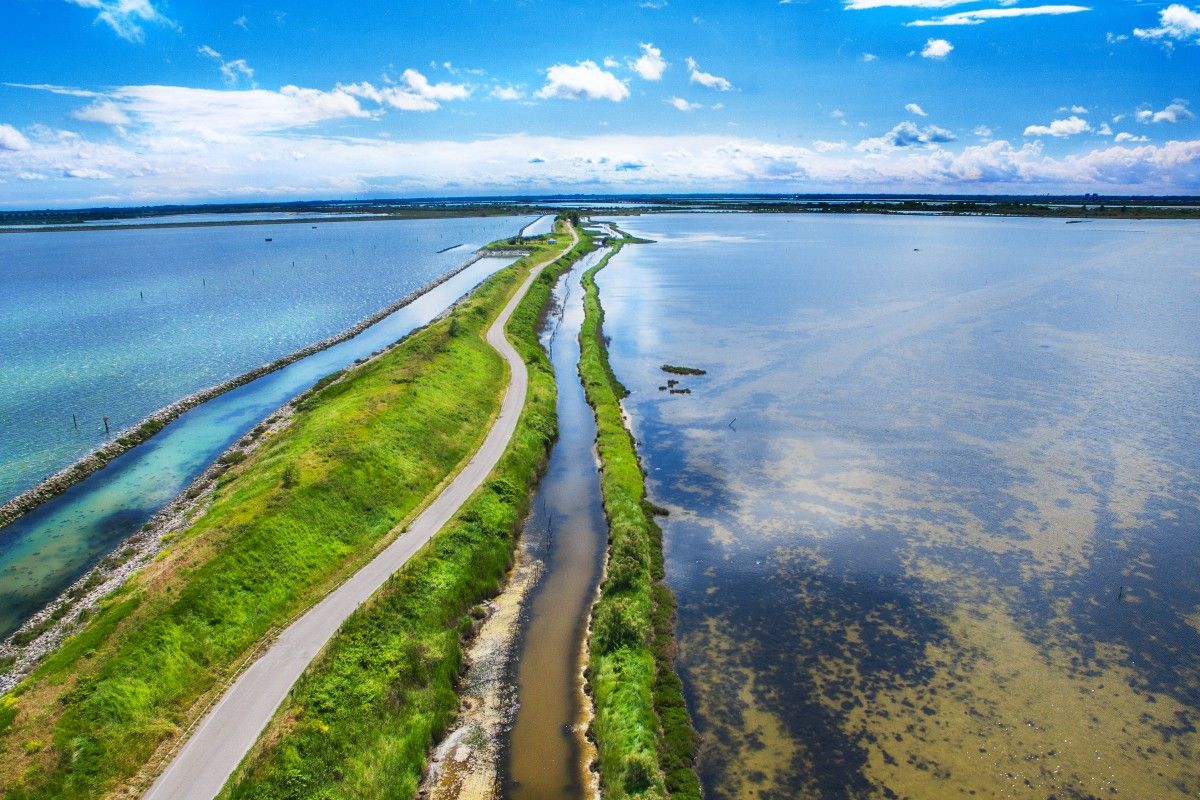
犬と一緒に楽しめるドッグフレンドリーなポーデルタのハイキングコースは、ポー川がアドリア海と合流する場所の景観を巡ります。この地域は広大な湿地帯、ラグーン、そして古代の松林が特徴です。ユネスコ世界遺産に登録されているこの場所は、海岸の砂丘、川岸、海水を引き込んだ入り江など、多様な生態系を持つユニークな自然と文化の魅力が融合しています。地形は概して平坦で、様々なアクティビティレベルに対応できるアクセスしやすいルートを提供しています。
ポーデルタのドッグフレンドリーなハイキングコースベスト5
- 最も人気のあるドッグフレンドリーなハイキングルートは、キオッジャ発、イゾラ・デッロゥニオーネ橋 – ピッツェリア・ダ・E.N.D.、ソットマリーナ ループです。この7.4マイル(11.8 km)のコースは、2時間58分で完了できます。この適度な難易度のルートからは、ラグーンと海岸エリアの景色を楽しめます。
- 地元のハイカーに人気のもう一つのコースは、ソットマリーナ発、レッド灯台 of ソットマリーナ – イゾラ・デッロゥニオーネ橋 ループです。これは適度な難易度の10.7マイル(17.3 km)のコースで、ソットマリーナ周辺の海岸環境を巡り、高低差はほとんどありません。
- 地元のハイカーに愛されているのは、キオッジャ発、キオッジャ魚市場 – イゾラ・デッロゥニオーネ橋 ループです。この1.5マイル(2.4 km)のコースは、キオッジャの歴史的な町を通り抜け、水辺に沿って進み、通常約37分で完了します。
- ポーデルタでのハイキングは、湿地帯、ラグーン、海岸沿いのルートが特徴で、多様な野鳥やユニークなデルタの生態系を観察する機会を提供します。このネットワークは、簡単な散策からより適度な難易度の小旅行まで、様々なレベルのオプションを提供しています。
- ポーデルタのルートは、komootコミュニティから高く評価されており、600件以上のレビューで平均4.3つ星を獲得しています。5,700人以上のハイカーがkomootを利用して、ポーデルタの多様な地形を探検しました。
最終更新日: 8月 24, 2026
4.5
(8)
113
ハイカー
21.1km
05:17
10m
10m
難しいハイキング. 標準以上のフィットネスレベルが必要です。 進みやすいルートです。あらゆるスキルレベルに適しています。
4.6
(13)
286
ハイカー
中程度のハイキング. ある程度のフィットネスレベルが必要です。 進みやすいルートです。あらゆるスキルレベルに適しています。

無料新規登録
18
ハイカー
11.1km
02:48
10m
10m
中程度のハイキング. ある程度のフィットネスレベルが必要です。 進みやすいルートです。あらゆるスキルレベルに適しています。
11
ハイカー
4.68km
01:11
10m
10m
初級者向けハイキング. あらゆるフィットネスレベルに適しています。 進みやすいルートです。あらゆるスキルレベルに適しています。
8
ハイカー
2.14km
00:32
0m
0m
初級者向けハイキング. あらゆるフィットネスレベルに適しています。 進みやすいルートです。あらゆるスキルレベルに適しています。
おすすめのツアーは他のkomootユーザーが実際に経験した何千ものアクティビティに基づいています。
無料アカウントで今日から始めよう
次の冒険が待っています。
ログインまたは登録
ポーデルタ周辺で人気
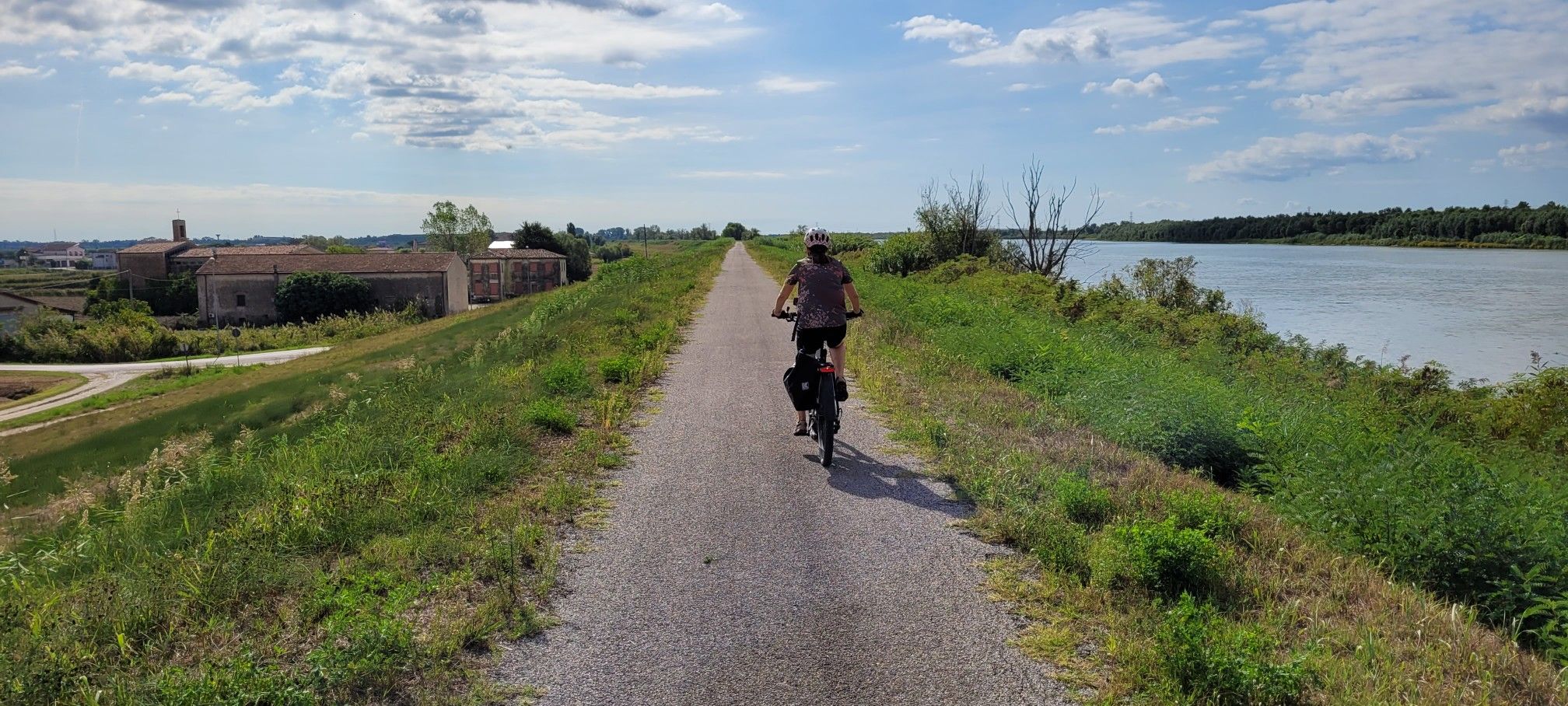
イタリアの最長の河、ポ河沿いのサイクリングコースでの全面的な経験
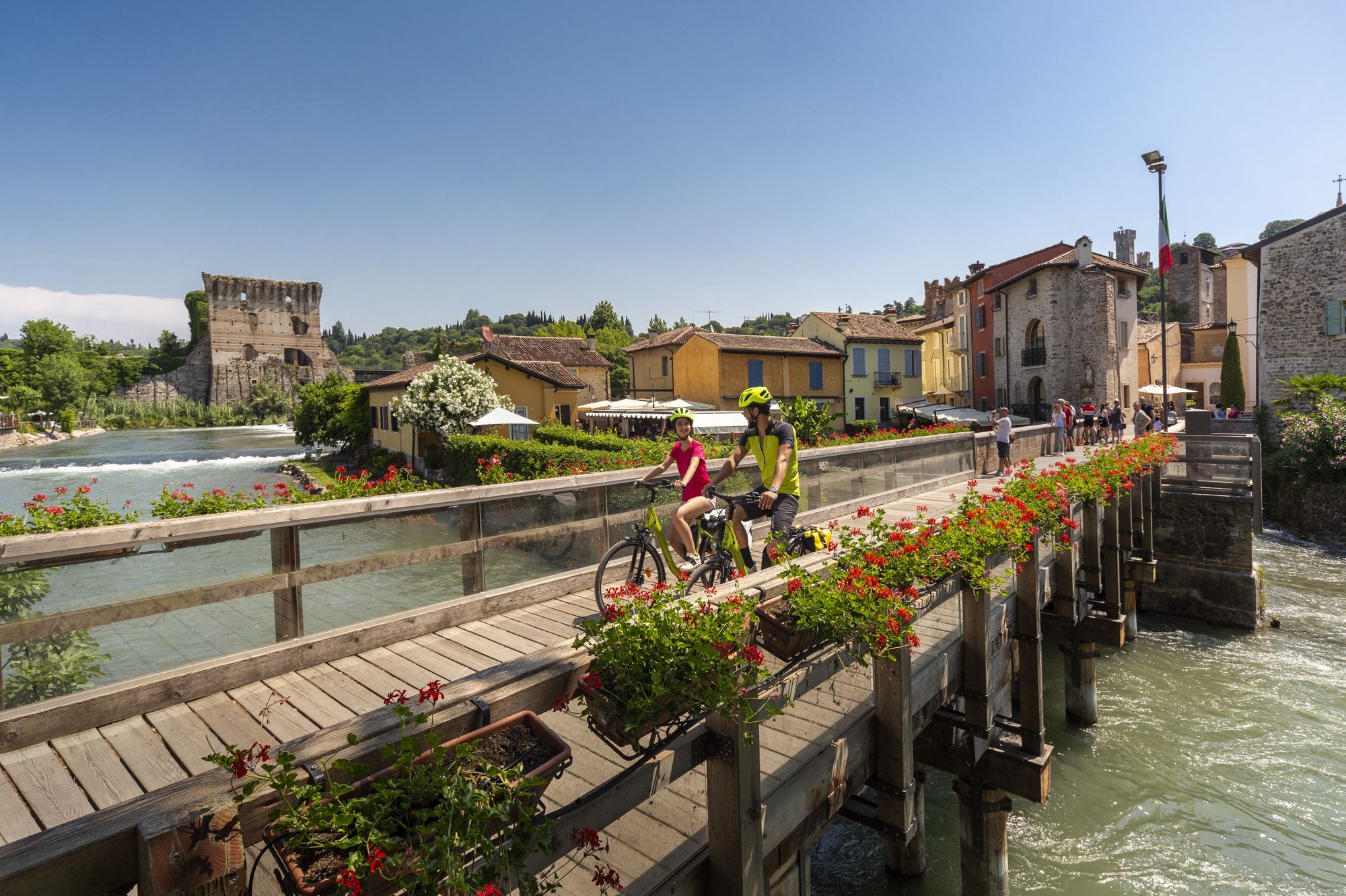
Explore Veneto at a slow pace – day trips by bike
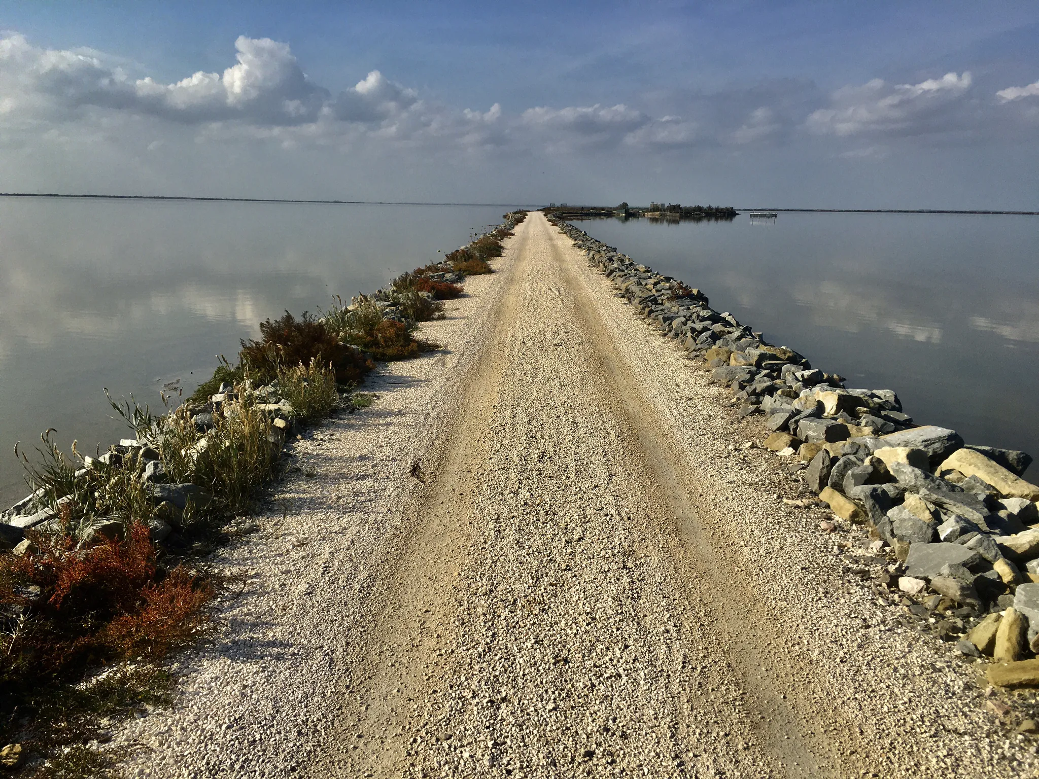
海、ラグーナ、そして自然 - Poデルタを発見してください
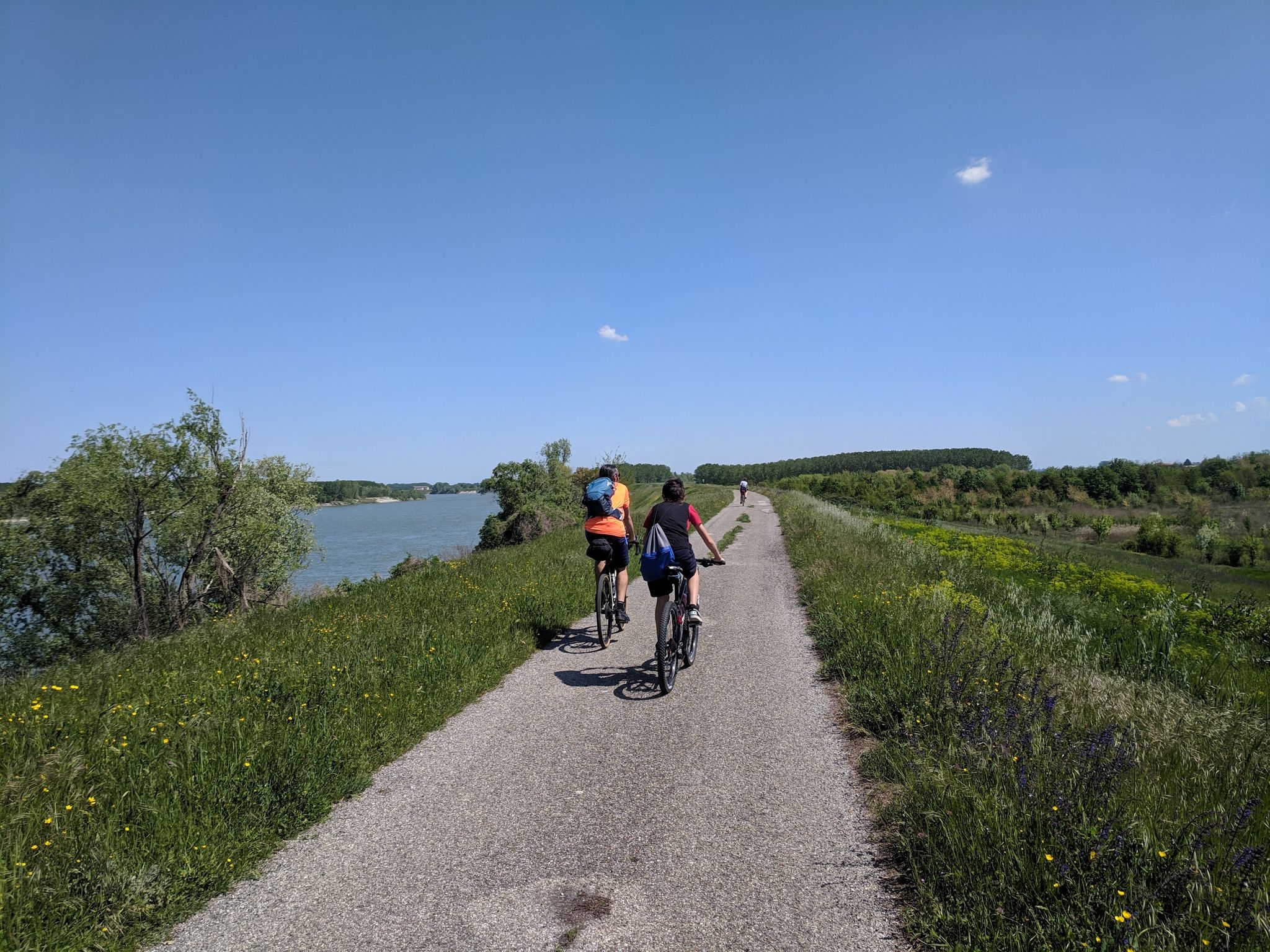
イタリアのチクロヴィア・デストラ・ポ沿いのカービング - 蛇行する川沿いをたどれ
トリエステからサンタマリアディレウカまで - アドリアアイクルルート
ボローニャからベニーシャまで - 水路沿い
Enjoyment, culture and nature – cycling Tours in Italy’s Emilia Romagna region
Between Lake Garda and the Adriatic Sea – cycle Tours in Italy’s Veneto
Delta del Po in e-bike – itinerari tra fiume, mare e laguna con DINAclub
ポーデルタでのの他の冒険


コミュニティからのヒント


A town that preserves intact the traits of its maritime tradition, with its canals crossed by numerous bridges and the characteristic courtyards that open onto the waterways, offering evocative views. The brightly colored houses along the Vena Canal are one of Chioggia's most distinctive features, making it resemble a miniature of the lagoon capital, but with a livelier and more intimate feel.
0
0

Vigo Column, Piazzetta Vigo, Chioggia Vigo Column The Vigo Column, located in the square of the same name, is one of the most representative architectural elements of the city of Chioggia. Its location dates back to 1786, at the behest of Podestà Giulio Antonio Mussato. It was created from the collection of artifacts found during excavations in 1763 at the site of the former Praetorian Palace. Text / Source: City of Chioggia, Corso del Popolo, Chioggia (VE) https://www.comune.chioggia.ve.it/vivere-il-comune/luoghi/colonna-di-vigo/
14
0
One of the major projects completed during the Fascist era is the Sottomarina Dam, which, together with the Ca' Roman Dam built a few years earlier, completes the mouth of the Port of Chioggia. Construction began in the years following the First World War. Like the Murazzi (sea walls), the dam was constructed of brick and boulders of local Istrian stone and, in addition to finally completing the entrance to the Port of Chioggia, also allowed for a further expansion of the beach. The inauguration, as mentioned, took place in the midst of the Fascist regime on April 28, 1935, in the presence of the Duke of Aosta. The dam was immediately embraced by the local population, especially the residents of Sottomarina, a popular destination for their walks, so much so that many refer to it as "Sailors' Square." Text / Source: Lidi di Chioggia https://www.lididichioggia.it/la-diga-murazzi/
15
0
The Dam and the Walls, Sottomarina The Dam and the Walls The Walls are Istrian stone walls built by the Republic of Venice starting in the late 18th century to protect the inhabited centers of the lagoon from marine erosion. They are divided into three sections: one on the island of Lido, a second on the island of Pellestrina as far as Cà Roman, and a third along the coast of Sottomarina, running from Forte San Felice to the center of Sottomarina at a height of approximately 1200 meters. The famous War of Chioggia led to the complete destruction of Sottomarina, which became an uninhabited area, exposed to the sea without any protection and subject to frequent flooding. Reconstruction, which included the construction of the Walls, did not begin until 1600. The Walls along Via San Felice were more than 5 kilometers long and over 300 meters wide. They were built from square stones, primarily Istrian stone, erected on stilts extending to the Pellestrina coast and, of course, the Sottomarina coast. Initially, given the scale of the project and the lack of adequate equipment, construction seemed impossible, so it took thirty-eight years to complete in 1770. Legend has it that the inscription "Ausu romano, aere veneto" (With Roman boldness, with Venetian money) was already in place. The inscription is still visible when passing by on the Chioggia-Pellestrina vaporetto. The Murazzi ceased to function between the late 19th and early 20th centuries when the receding sea revealed an unexpected beach, thus forming a symbolic dividing line between "old" and "new" Sottomarina. Today, the Murazzi di Sottomarina are located about one kilometer from the sea: this has allowed for a large-scale revival of coastal tourism. The Murazzo now connects the entire Venetian coast, especially the outer islands, like a cordon, leaving only the three bays open, thus preserving the lagoon's waters. Text / Source: Lidi di Chioggia https://www.lididichioggia.it/la-diga-murazzi/
15
0
The Dam and the Walls, Sottomarina The Dam and the Walls The Walls are Istrian stone walls built by the Republic of Venice starting in the late 18th century to protect the inhabited centers of the lagoon from marine erosion. They are divided into three sections: one on the island of Lido, a second on the island of Pellestrina as far as Cà Roman, and a third along the coast of Sottomarina, running from Forte San Felice to the center of Sottomarina at a height of approximately 1200 meters. The famous War of Chioggia led to the complete destruction of Sottomarina, which became an uninhabited area, exposed to the sea without any protection and subject to frequent flooding. Reconstruction, which included the construction of the Walls, did not begin until 1600. The Walls along Via San Felice were more than 5 kilometers long and over 300 meters wide. They were built from square stones, primarily Istrian stone, erected on stilts extending to the Pellestrina coast and, of course, the Sottomarina coast. Initially, given the scale of the project and the lack of adequate equipment, construction seemed impossible, so it took thirty-eight years to complete in 1770. Legend has it that the inscription "Ausu romano, aere veneto" (With Roman boldness, with Venetian money) was already in place. The inscription is still visible when passing by on the Chioggia-Pellestrina vaporetto. The Murazzi ceased to function between the late 19th and early 20th centuries when the receding sea revealed an unexpected beach, thus forming a symbolic dividing line between "old" and "new" Sottomarina. Today, the Murazzi di Sottomarina are located about one kilometer from the sea: this has allowed for a large-scale revival of coastal tourism. The Murazzo now connects the entire Venetian coast, especially the outer islands, like a cordon, leaving only the three bays open, thus preserving the lagoon's waters. Text / Source: Lidi di Chioggia https://www.lididichioggia.it/la-diga-murazzi/
15
0

Beautiful place to watch the sun rise
1
0
よくある質問
ポーデルタでどのような犬同伴可能なハイキングコースが見つかりますか?
ポーデルタでは、簡単な散策から中程度のハイキングまで、さまざまな犬同伴可能なトレイルがあります。海岸エリア、湿地帯、さらには歴史的な町を探索できます。例えば、キオッジャ魚市場から始まる2.4kmの簡単なループコースや、11.8kmのイゾラ・デッルーニオーネ橋ループのような中程度のオプションがあります。
初心者や短い散歩に適した、簡単な犬同伴可能なルートはありますか?
はい、犬との簡単で短い散歩には、キオッジャ魚市場から始まる2.4kmのループコースを検討してください。このルートは簡単と評価されており、大きな標高差なしに快適な体験を提供します。
ポーデルタ地域公園での犬に関する一般的な規則は何ですか?
ポーデルタはユネスコ世界遺産でありMAB保護区でもあるため、自然保護が重視されています。多くのエリアで犬同伴が可能ですが、多様な鳥類やメソラジカなどの他の動物を保護するため、特に保護区域や野生動物の生息地の近くでは、犬をリードにつないでおくことが非常に重要です。常にペットの排泄物を処理してください。
犬同伴可能なハイキングで、どのような自然の特徴や野生生物に出会う可能性がありますか?
ポーデルタは生物多様性に富んでいます。ハイキング中には、広大な湿地帯、塩水ラグーン、古代の松林、海岸砂丘に出会うかもしれません。フラミンゴやアオサギなど300種以上の鳥類が生息するバードウォッチングの楽園です。メソラ森林自然保護区のようなエリアでは、メソラジカに注意してください。
円形の犬同伴可能な散歩道はありますか?
はい、ポーデルタには円形の犬同伴可能なルートがいくつかあります。例えば、イゾラ・デッルーニオーネ橋 – SottomarinaのE.N.Dピッツェリアループと、ソットマリーナの赤い灯台 – イゾラ・デッルーニオーネ橋ループは、どちらも出発点に戻ることができる中程度の円形ルートです。
ポデルタの犬同伴可能なトレイルについて、他のハイカーはどのように評価していますか?
ポデルタはkomootコミュニティから高く評価されており、600件以上の評価で平均4.3つ星を獲得しています。ハイカーは、陸と水が織りなすユニークな景観、豊かな野鳥、そして穏やかな雰囲気をしばしば称賛しており、愛犬との散策に最適な場所となっています。
犬同伴可能なルート沿いに、特別なアトラクションや見どころはありますか?
ルート自体は景色の良い眺めを提供しますが、近くには興味深いハイライトを見つけることができます。メソラ森林自然保護区は、鹿で知られる重要な自然景観です。カンネヴィエオアシス自然保護区はバードウォッチングに最適です。広大な自然の美しさを提供するポデルタ地域公園自体を通り過ぎることもあります。
犬同伴でのハイキングにポデルタを訪れるのに最適な時期はいつですか?
ポデルタは一年中楽しめますが、夏の暑さと湿度を避けるためには、春と秋が愛犬とのハイキングに最も快適な気温を提供します。これらの季節は、渡り鳥が通過するため、バードウォッチングの良い機会でもあります。
この地域には、より長く、より挑戦的な犬同伴可能なハイキングコースはありますか?
より長く、適度な挑戦をご希望の場合は、17.3 kmのレッド灯台(ソットマリーナ)~イゾラ・デッルンィオーネ橋ループをご検討ください。このルートは、海岸沿いの景観をより広範囲に探索でき、より長いアウトドア活動を求める犬と飼い主の両方に適しています。
ポデルタ地域の自然公園や観光について、さらに詳しい情報はどこで入手できますか?
公園や観光に関するより広範な情報については、ポデルタ観光の公式ウェブサイトをご覧ください:podeltatourism.it。「リトル・ヴェネツィア」とも呼ばれるコマッキオ周辺のアクティビティについては、visitcomacchio.itをご覧ください。
ポーデルタでのの人気観光スポット

komootモバイルアプリでインスピレーションを得よう


さらに探索
他の地域の最高のハイキングを見てみましょう。
