ウプレンゲンの天然記念物・トップ20
ウプレンゲンが誇る美しい風景を見てみたいなら、ウプレンゲンの素晴らしい天然記念物・トップ20
に行ってみましょう。あなたにぴったりの場所が見つかるよう、素晴らしい天然記念物を探索するために必要なすべての情報を集めました。次のアウトドアの冒険に出かける計画の参考にしましょう。
最終更新日: 9月 1, 2026
アパー・ティーフ自然保護区
ハイライト • 川
翻訳者 Google •
役立つ情報 は

ノイエンブルガー原生林の狩猟小屋
ハイライト • 山小屋
Opposite the …
翻訳者 Google •
役立つ情報 は

今すぐサインアップして、こんな場所を発見しよう
最高のシングルトラック、ピーク、その他のエキサイティングなアウトドアスポットのおすすめを受け取ろう。
バードサンクチュアリ
ハイライト (セグメント) • 自然
翻訳者 Google •
役立つ情報 は

Augustfehner Graben 展望塔
ハイライト • 展望台
翻訳者 Google •
役立つ情報 は

ノイドルファー湿原展望台
ハイライト • 展望台
翻訳者 Google •
役立つ情報 は

無料でサインアップして、さらに多くの自然記念物を発見しましょう ウプレンゲンでの。
すでにアカウントをお持ちですか?
無料アカウントで今日から始めよう
次の冒険が待っています。

コミュニティからのヒント

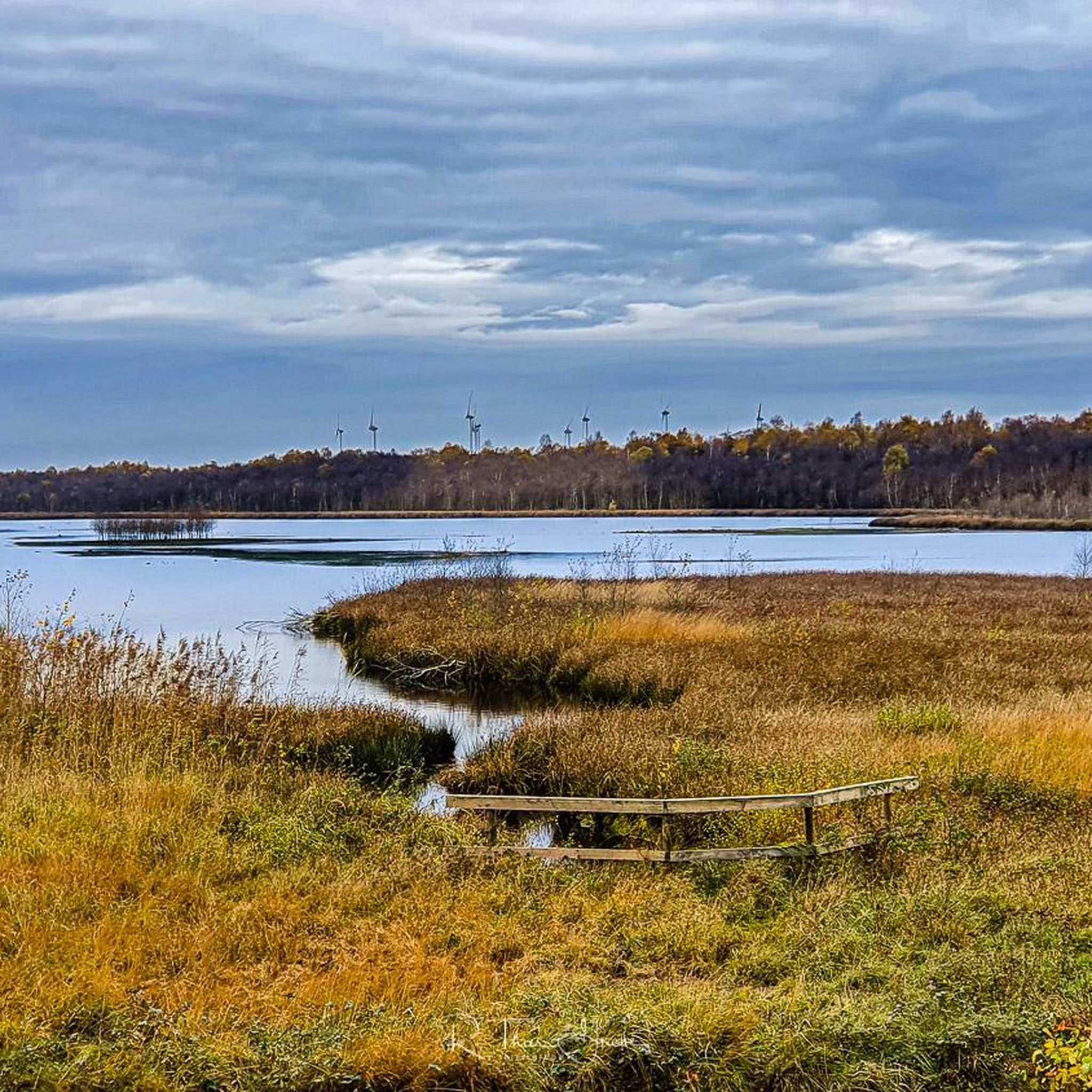
The Neudorfer Moor is a nature reserve in the Lower Saxony municipality of Uplengen in the Leer district. The nature reserve, designated NSG WE 114, is 350 hectares in size. The area has been a nature reserve since October 8, 1983. The responsible lower nature conservation authority is the Leer district. The nature reserve is located in the north of the municipality of Uplengen on the border with the municipality of Wiesmoor. The area protects the remains of a raised bog which, like the nature reserves of Lengener Meer, Stapeler Moor, Spolsener Moor and Herrenmoor a few kilometers further east, is one of the formerly extensive East Frisian central moors. The moor, where peat mining used to take place, is being renaturalized. A small part of the nature reserve is used as agricultural grassland. The area is drained via the Riesmeerschloot and the Nordgeorgsfehnkanal to the Jümme. There is a viewing platform in the east of the nature reserve.
4
1

A nice opportunity for a break on the benches and from the tower you have a super beautiful view of the nature reserve
4
1

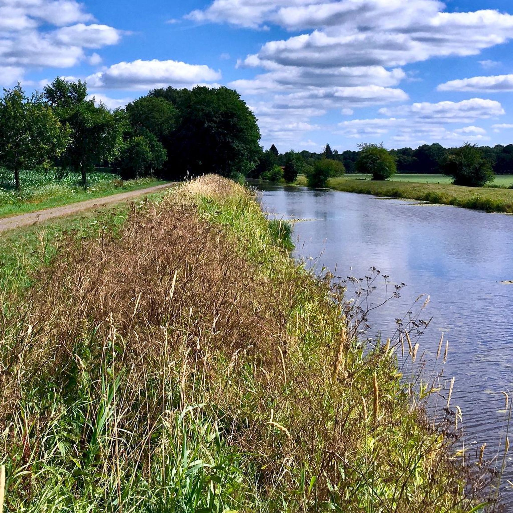
The 75 hectare “Aper Tief” nature reserve is a former contiguous wet grassland complex in the lowlands of the Aper Tief. The area was completely removed from grassland use in 2005 by relocating a dike, so that a natural floodplain landscape of a lowland river is redeveloping here. What is noteworthy in this context are the developing river mudflats and floodplain forests, through which oxbow lakes flow.
4
0
Due to the topographical conditions, most of the pumping stations are located in the northwestern part of the Ammerländer Wasseracht association area.
14
1
Now it is finished - the new observation tower that the NLWKN (Lower Saxony State Office for Water Management, Coastal and Nature Conservation) had built in the Lengener Meer nature reserve near Friedeburg in the Wittmund district to replace the dilapidated observation platform. While there were previously 14 steps, the visitor now has to climb 21 steps and is rewarded with a wide view over the raised moor with the 22-hectare moor lake. Thanks to its open and transparent design, the new tower is much more beautiful than the old platform. The lower area was deliberately not covered because experience with the previous observation platform has shown that visitors do not use the shelter at this point. “This made it possible to choose a construction that can be better integrated into the image of this raised moor landscape,” emphasizes Martin Wendeburg from the NLWKN in Oldenburg (Nature Conservation Division). The project is financed with funds from the
7
1

The Aper Tief is a small river in the Lower Saxony municipalities of Apen in the district of Ammerland and Detern in the joint municipality of Jümme in the district of Leer.
6
0
You can rest well at the tower and have a beautiful view of the Aper-Tief.
4
0

Property located in the rustic Bockhorn primeval forest, directly on the cycle path…
4
0
ウプレンゲンでのの人気観光スポット

komootモバイルアプリでインスピレーションを得よう


さらに探索
これらのガイドで、最高の洞窟を探す範囲を広げましょうウプレンゲンでの:
