オストルハウダーフェーンの天然記念物・トップ20
オストルハウダーフェーンが誇る美しい風景を見てみたいなら、オストルハウダーフェーンの素晴らしい天然記念物・トップ20
に行ってみましょう。あなたにぴったりの場所が見つかるよう、素晴らしい天然記念物を探索するために必要なすべての情報を集めました。次のアウトドアの冒険に出かける計画の参考にしましょう。
最終更新日: 9月 1, 2026
アパー・ティーフ自然保護区
ハイライト • 川
翻訳者 Google •
役立つ情報 は

バードサンクチュアリ
ハイライト (セグメント) • 自然
翻訳者 Google •
役立つ情報 は

今すぐサインアップして、こんな場所を発見しよう
最高のシングルトラック、ピーク、その他のエキサイティングなアウトドアスポットのおすすめを受け取ろう。
Augustfehner Graben 展望塔
ハイライト • 展望台
翻訳者 Google •
役立つ情報 は

ヴァッサーパーク・ハッセルト
ハイライト • 自然記念物
In 2001, after intensive planning, we were able to open our water park directly at the Hasselt waterworks. In a 7,000 m2 large, naturally designed area, we offer …
翻訳者 Google •
役立つ情報 は
「Esterweger Dose」自然保護区沿い
ハイライト (セグメント) • 自然
翻訳者 Google •
役立つ情報 は
無料でサインアップして、さらに多くの自然記念物を発見しましょう オストルハウダーフェーンでの。
すでにアカウントをお持ちですか?
無料アカウントで今日から始めよう
次の冒険が待っています。
コミュニティからのヒント

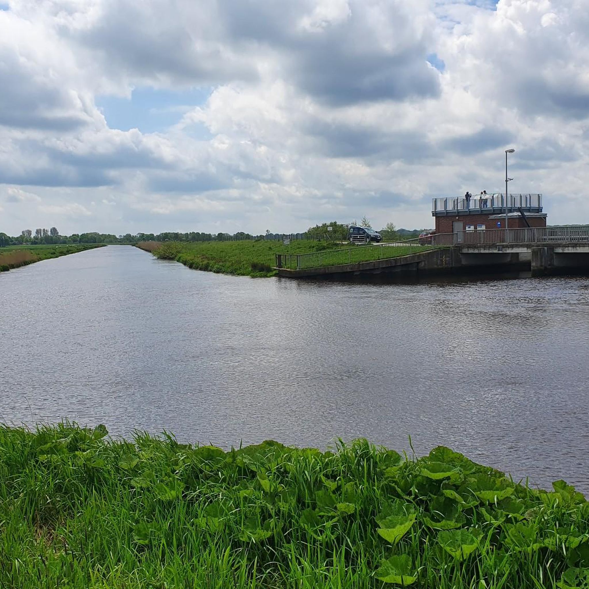
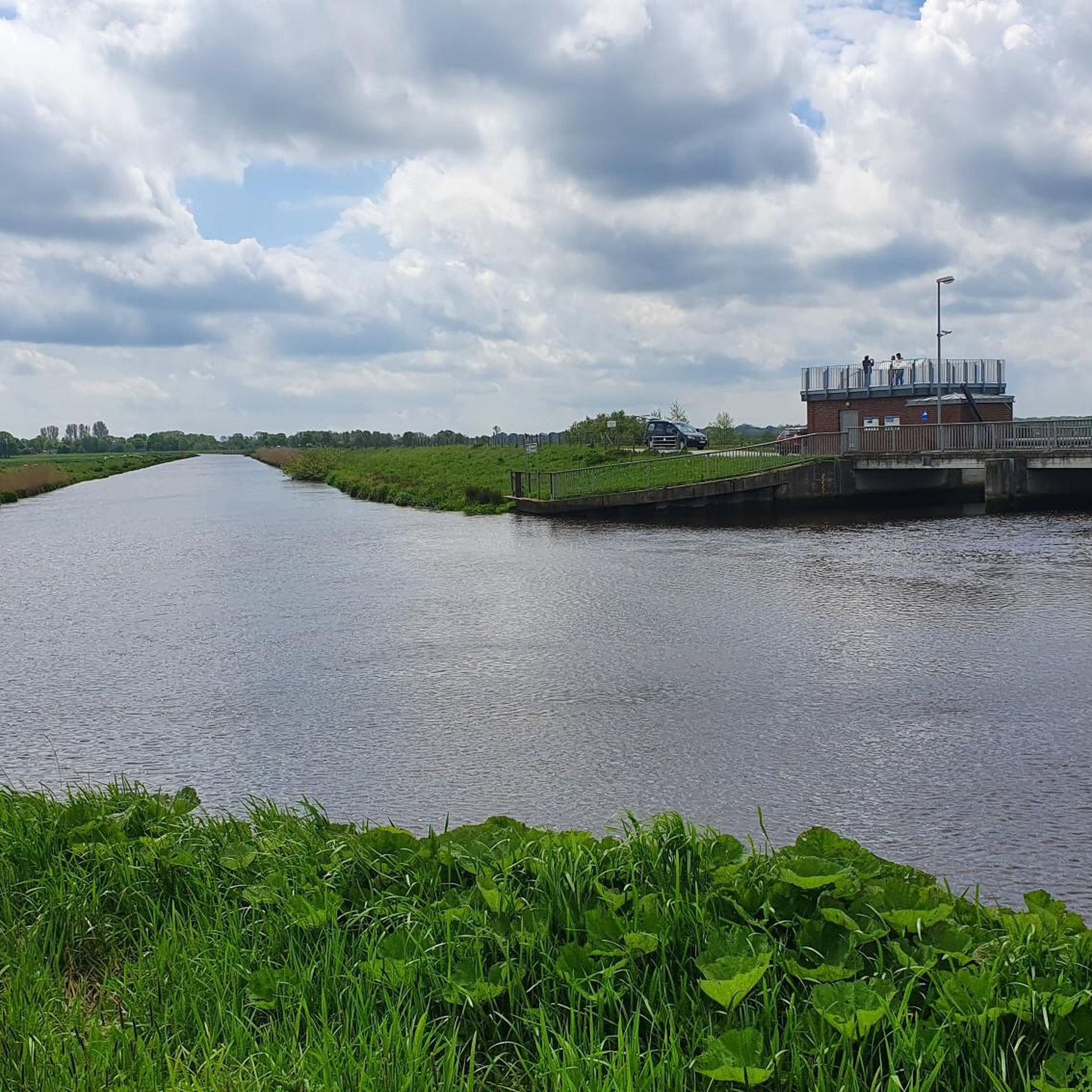
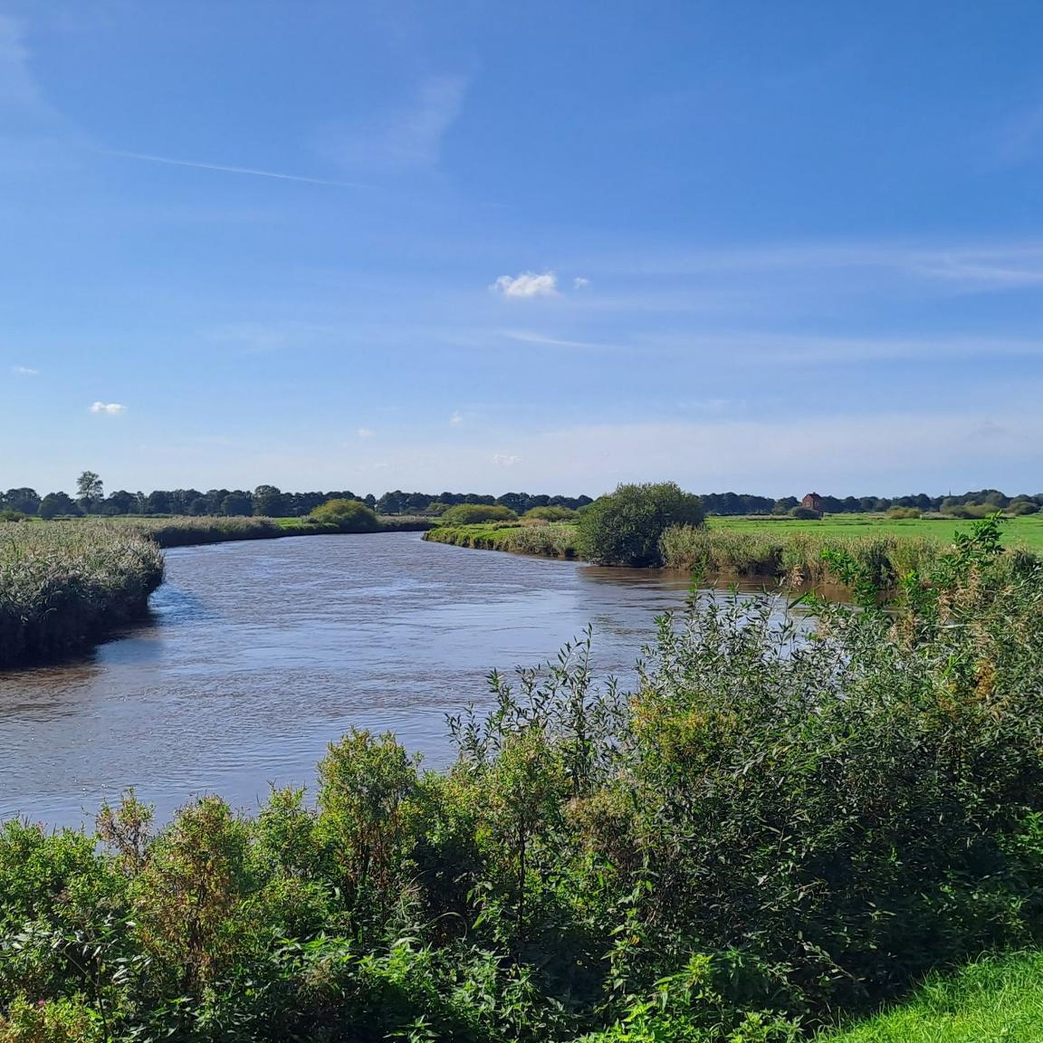
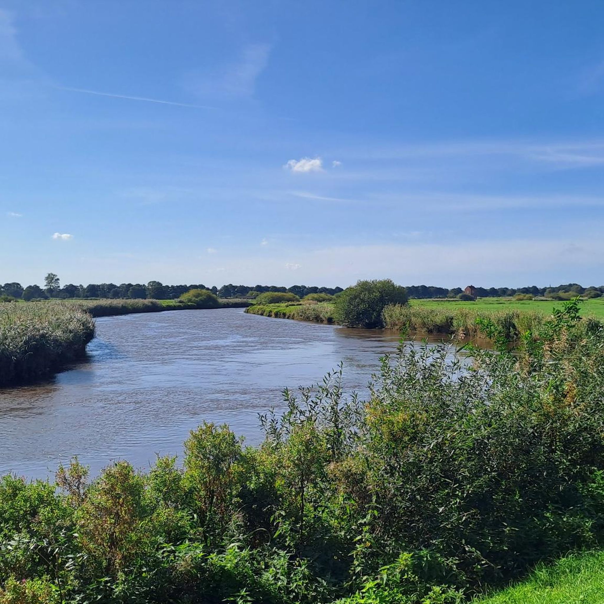
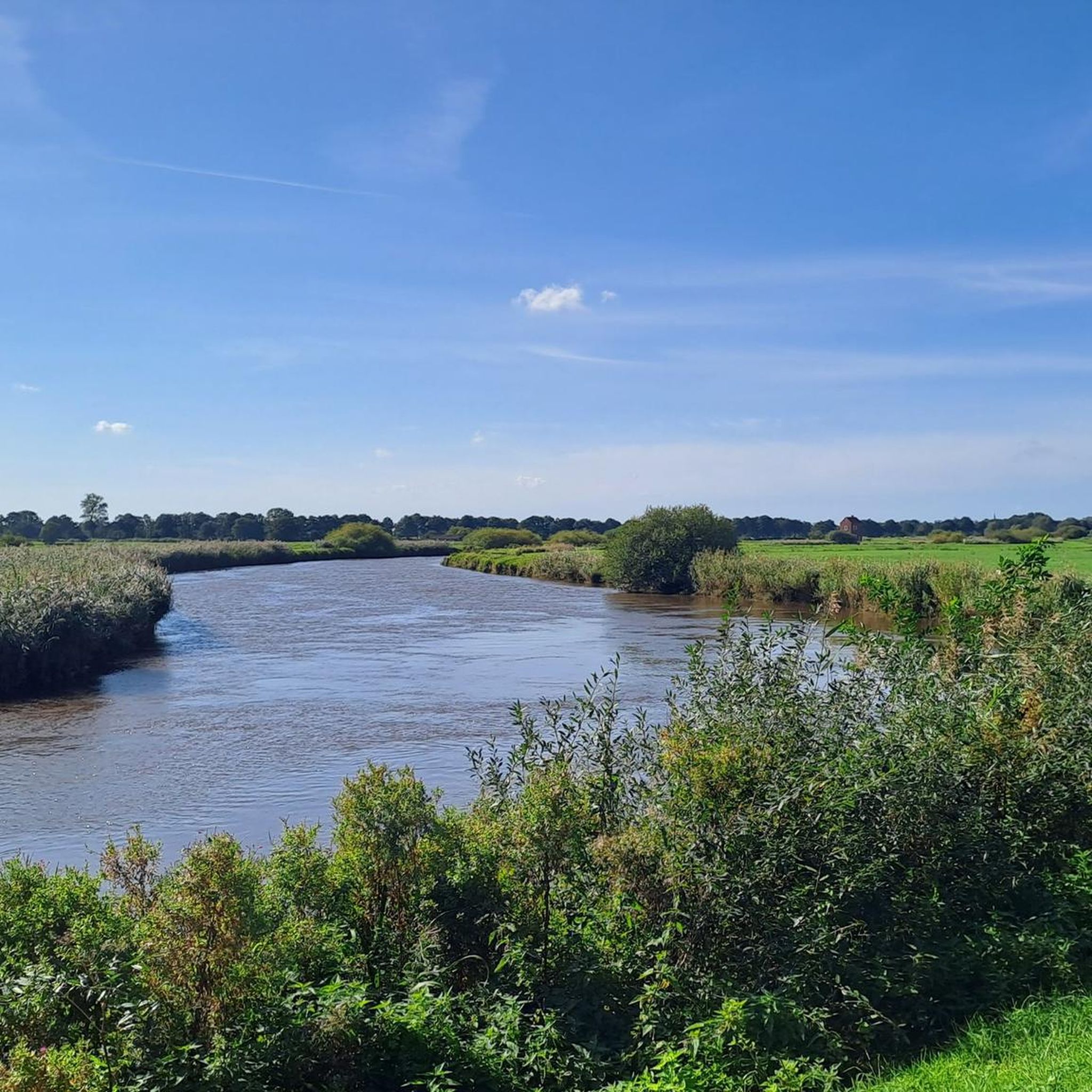
The 75 hectare “Aper Tief” nature reserve is a former contiguous wet grassland complex in the lowlands of the Aper Tief. The area was completely removed from grassland use in 2005 by relocating a dike, so that a natural floodplain landscape of a lowland river is redeveloping here. What is noteworthy in this context are the developing river mudflats and floodplain forests, through which oxbow lakes flow.
4
0

Due to the topographical conditions, most of the pumping stations are located in the northwestern part of the Ammerländer Wasseracht association area.
14
1
You can stay here...for a picnic or something for the little ones to play with and a little story too
10
0

A fantastic day trip for the whole family. Fun is guaranteed. Here you can have a great picnic 🧺, learn a lot, and even get the water flowing with plenty of activities using your own muscle power.
7
0

The Aper Tief is a small river in the Lower Saxony municipalities of Apen in the district of Ammerland and Detern in the joint municipality of Jümme in the district of Leer.
6
0
You can rest well at the tower and have a beautiful view of the Aper-Tief.
4
0

It was nice to cycle along here, there is always something to watch left and right 👀.
5
0
The nature reserve with the designation NSG WE 221 is 75 hectares in size. It has been under nature protection since December 17, 1994. The responsible lower nature conservation authority is the Ammerland district. The nature reserve is located south of the Aper Tief between the towns of Apen and Augustfehn in the municipality of Apen in the Ammerland district. It is bordered to the east by the district road 120 and to the west by the Norderloher Canal. In the south of the nature reserve is the dike of the Aper Tief, which was moved from the bank of the Tief to a road running south of it in 2005. Before the dike line was moved back, there were grassland and wet meadows here, which were crossed by oxbows of the Aper Tief. The grassland was mainly used for mowing. After the dike line was moved back, the areas between the Aper Tief and the dike are subject to the natural river dynamics and are partially flooded at high tide. This creates a river floodplain landscape with river mudflats, floodplain forests and wet biotopes. The areas also serve as flood protection. Reed beds, including cattails, water swaths, reed canary grass and sedge marshes, are spreading on the waterlogged areas. The nature reserve is home to laurel willow, prostrate St. John's wort, marsh marigold, greater burnet, water ragwort, water sedge, needle marsh rush, bristly marsh rush and thread rush, among others. The nature reserve is home to numerous bird species, including black-tailed godwit, common snipe and redshank. The nature reserve is also an important habitat for various insects, including ground beetles and dragonflies. In the south of the nature reserve there are two viewing platforms accessible from the road along the dyke, which can be used for nature observation. Another viewing point is located on a pumping station on the north bank of the Aper Tief near Augustfehn.
10
2
オストルハウダーフェーンでのの人気観光スポット

komootモバイルアプリでインスピレーションを得よう


さらに探索
これらのガイドで、最高の洞窟を探す範囲を広げましょうオストルハウダーフェーンでの:
