バルセルの天然記念物・トップ20
バルセルが誇る美しい風景を見てみたいなら、バルセルの素晴らしい天然記念物・トップ20
に行ってみましょう。あなたにぴったりの場所が見つかるよう、素晴らしい天然記念物を探索するために必要なすべての情報を集めました。次のアウトドアの冒険に出かける計画の参考にしましょう。
最終更新日: 9月 1, 2026
アパー・ティーフ自然保護区
ハイライト • 川
翻訳者 Google •
役立つ情報 は

バードサンクチュアリ
ハイライト (セグメント) • 自然
翻訳者 Google •
役立つ情報 は

今すぐサインアップして、こんな場所を発見しよう
最高のシングルトラック、ピーク、その他のエキサイティングなアウトドアスポットのおすすめを受け取ろう。
無料新規登録
Augustfehner Graben 展望塔
ハイライト • 展望台
翻訳者 Google •
役立つ情報 は

Aper Tief自然保護区
ハイライト • 自然記念物
翻訳者 Google •
役立つ情報 は
FintlandsmoorとDänikhorster Moor
ハイライト • 自然
The Dänikhorster Moor is a former nature reserve in the Lower Saxony communities of Bad Zwischenahn and Edewecht in the Ammerland district.
The nature reserve, designated NSG WE …
翻訳者 Google •
役立つ情報 は
無料でサインアップして、さらに多くの自然記念物を発見しましょう バルセルでの。
無料新規登録
すでにアカウントをお持ちですか?
バルセルでのの他の冒険


コミュニティからのヒント

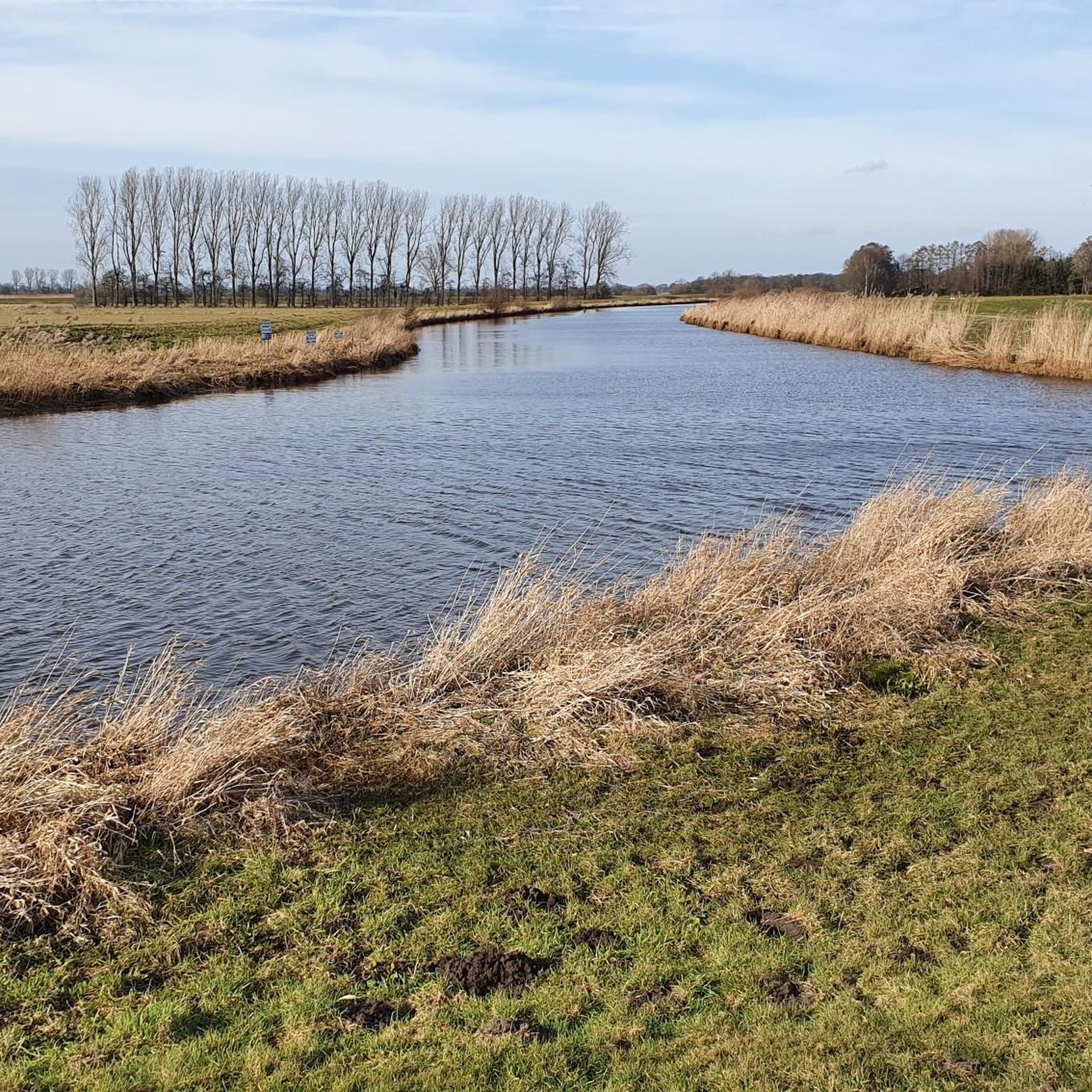
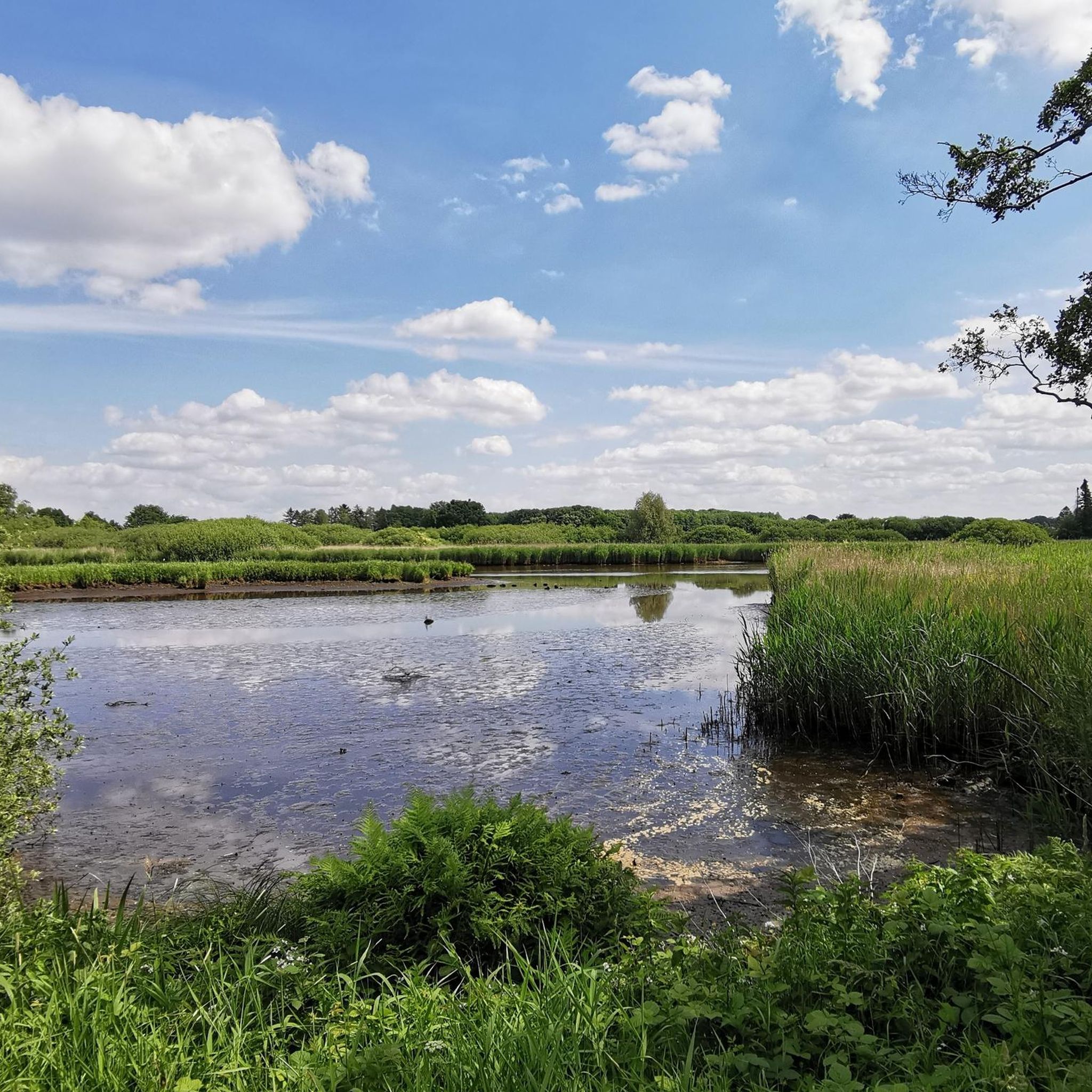
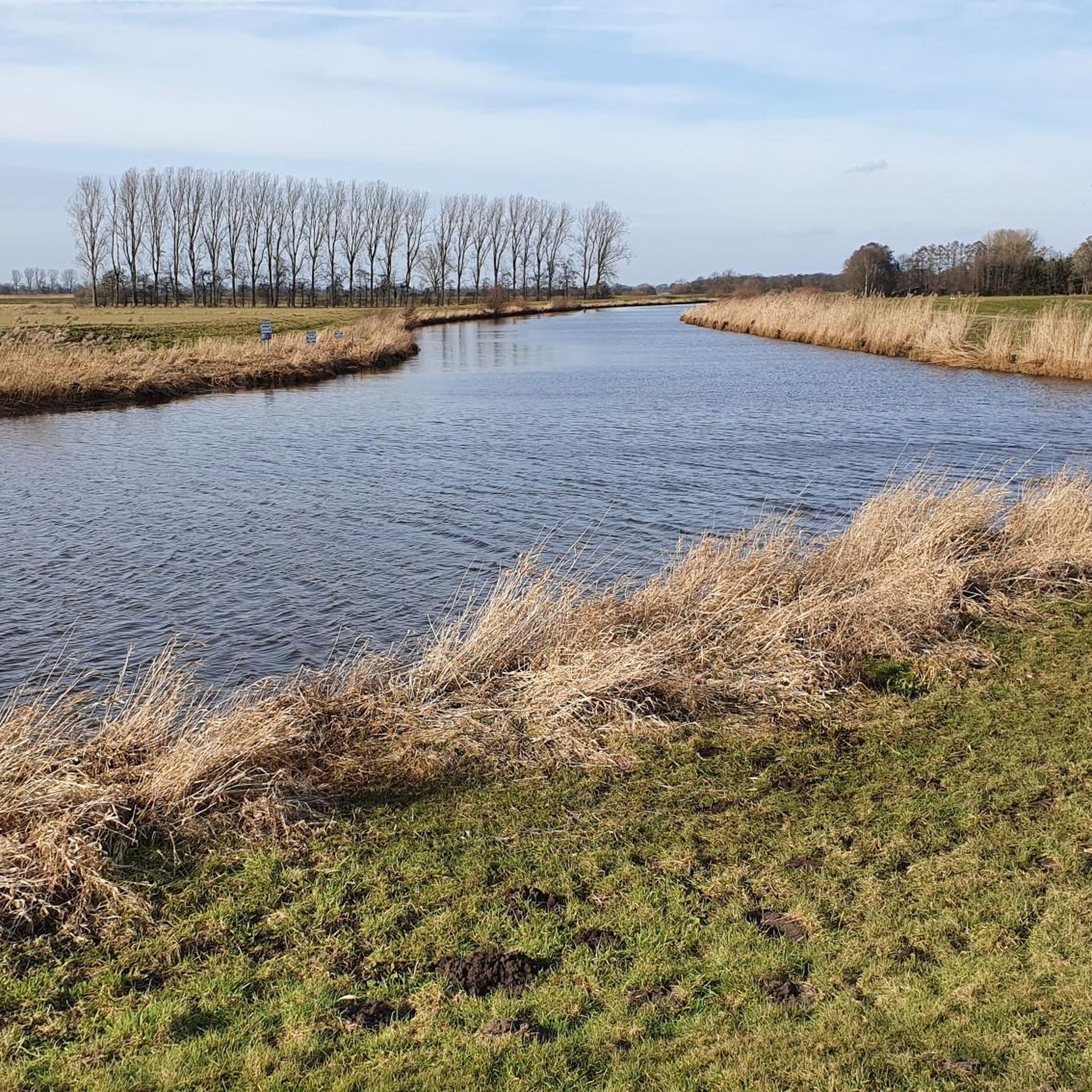
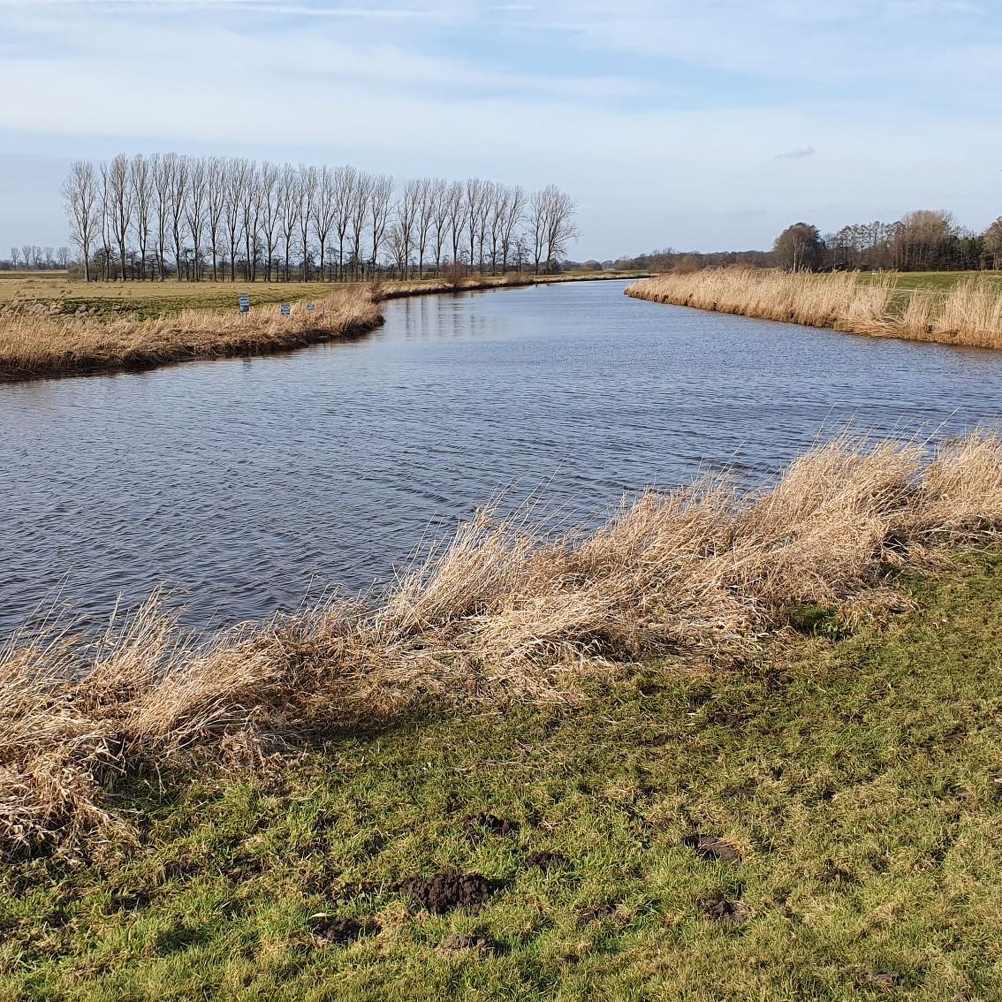
アペンの南、アペンとアウグストフェーンの間にある約75ヘクタールの自然保護区「アペル・ティーフ」は、アマーラント郡に位置しています。 2005年の劇的な堤防移設により、北西部唯一の淡水干潟を持つ、ユニークで潮汐に依存した氾濫原がここに生まれました。
1
0

Aper Tief The Aper Tief is a natural river in the municipality of Apen. Coming from the east, it flows through the farming communities of Hengstforde, Vreschen Bokel and Holtgast, from where it merges into the Jümme. Two retention areas were created along the river, which have become a fantastic nature reserve. The connection of the Aper Tief with the Jümme, Leda and Ems as far as the North Sea means that the tides are noticeable in this area with a tidal range of 60 to 120 cm. While hiking or cycling, discover the freshwater mudflats in Hengstforde and the floodplain landscape in Holtgast with its diverse birdlife. Anglers will also find excellent conditions here.
11
2

The 75 hectare “Aper Tief” nature reserve is a former contiguous wet grassland complex in the lowlands of the Aper Tief. The area was completely removed from grassland use in 2005 by relocating a dike, so that a natural floodplain landscape of a lowland river is redeveloping here. What is noteworthy in this context are the developing river mudflats and floodplain forests, through which oxbow lakes flow.
4
0
Due to the topographical conditions, most of the pumping stations are located in the northwestern part of the Ammerländer Wasseracht association area.
14
1
Dänikhorster Moor The Dänikhorster Moor is a former nature reserve in the Lower Saxony communities of Bad Zwischenahn and Edewecht in the Ammerland district. The nature reserve, designated NSG WE 181, was 91 hectares in size. It was fully part of the FFH area "Fintlandsmoor und Dänikhorster Moor". The area has been under nature protection since October 24, 1987. In June 2017, it opened up in the newly designated "Fintlandsmoor und Dänikhorster Moor" nature reserve. The district of Ammerland was responsible for the lower nature conservation authority. The area is southwest of Bad Zwischenahn and northwest of Edewecht. It consists of two uncultivated remains of raised bogs. The high moor lies on the edge of the Ammerländer Geest within the Hunte-Leda moor lowland. The northern part drains via ditches to the Ollenbäke, which flows into the Große Süderbäke near Apen. In Apen this becomes Aper Tief. The southern part drains via ditches to the floodplain.
13
1

The Aper Tief is a small river in the Lower Saxony municipalities of Apen in the district of Ammerland and Detern in the joint municipality of Jümme in the district of Leer.
3
0
The Aper Tief is a small river in the Lower Saxony municipalities of Apen in the district of Ammerland and Detern in the joint municipality of Jümme in the district of Leer.
6
0
You can rest well at the tower and have a beautiful view of the Aper-Tief.
4
0
バルセルでのの人気観光スポット

komootモバイルアプリでインスピレーションを得よう


さらに探索
これらのガイドで、最高の洞窟を探す範囲を広げましょうバルセルでの:
