ガルレルの天然記念物・トップ20
ガルレルが誇る美しい風景を見てみたいなら、ガルレルの素晴らしい天然記念物・トップ20
に行ってみましょう。あなたにぴったりの場所が見つかるよう、素晴らしい天然記念物を探索するために必要なすべての情報を集めました。次のアウトドアの冒険に出かける計画の参考にしましょう。
最終更新日: 9月 1, 2026
翻訳者 Google •
役立つ情報 は

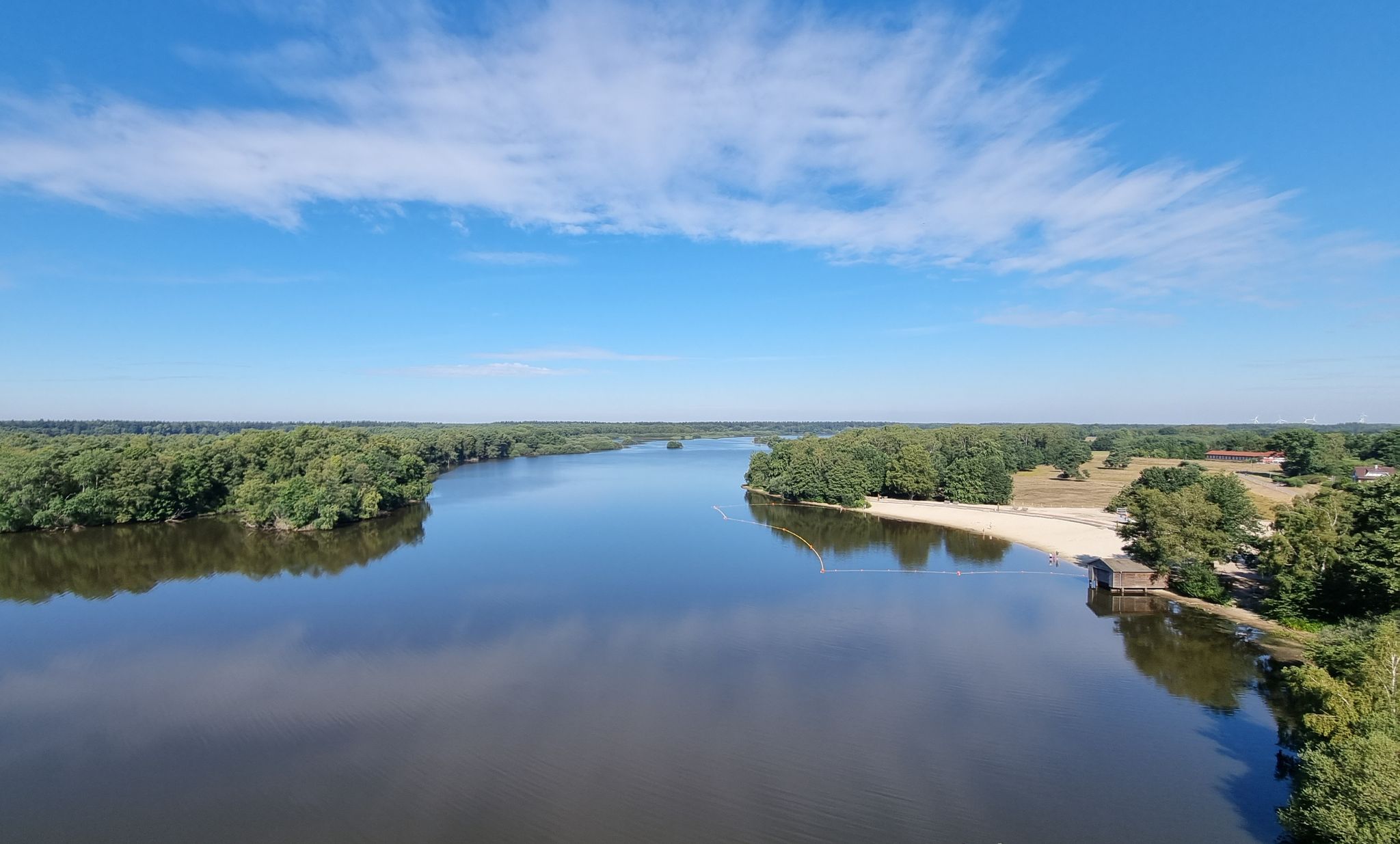
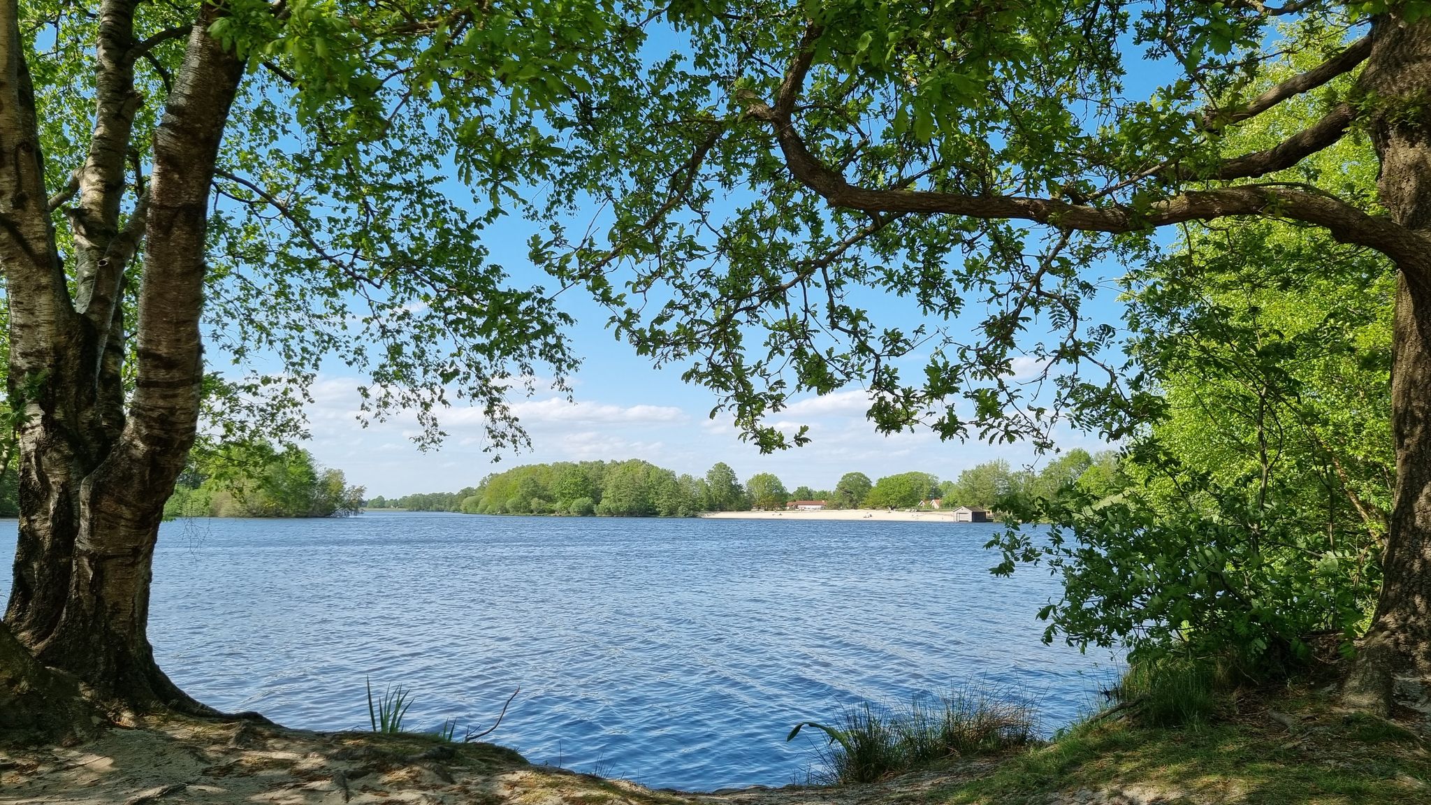
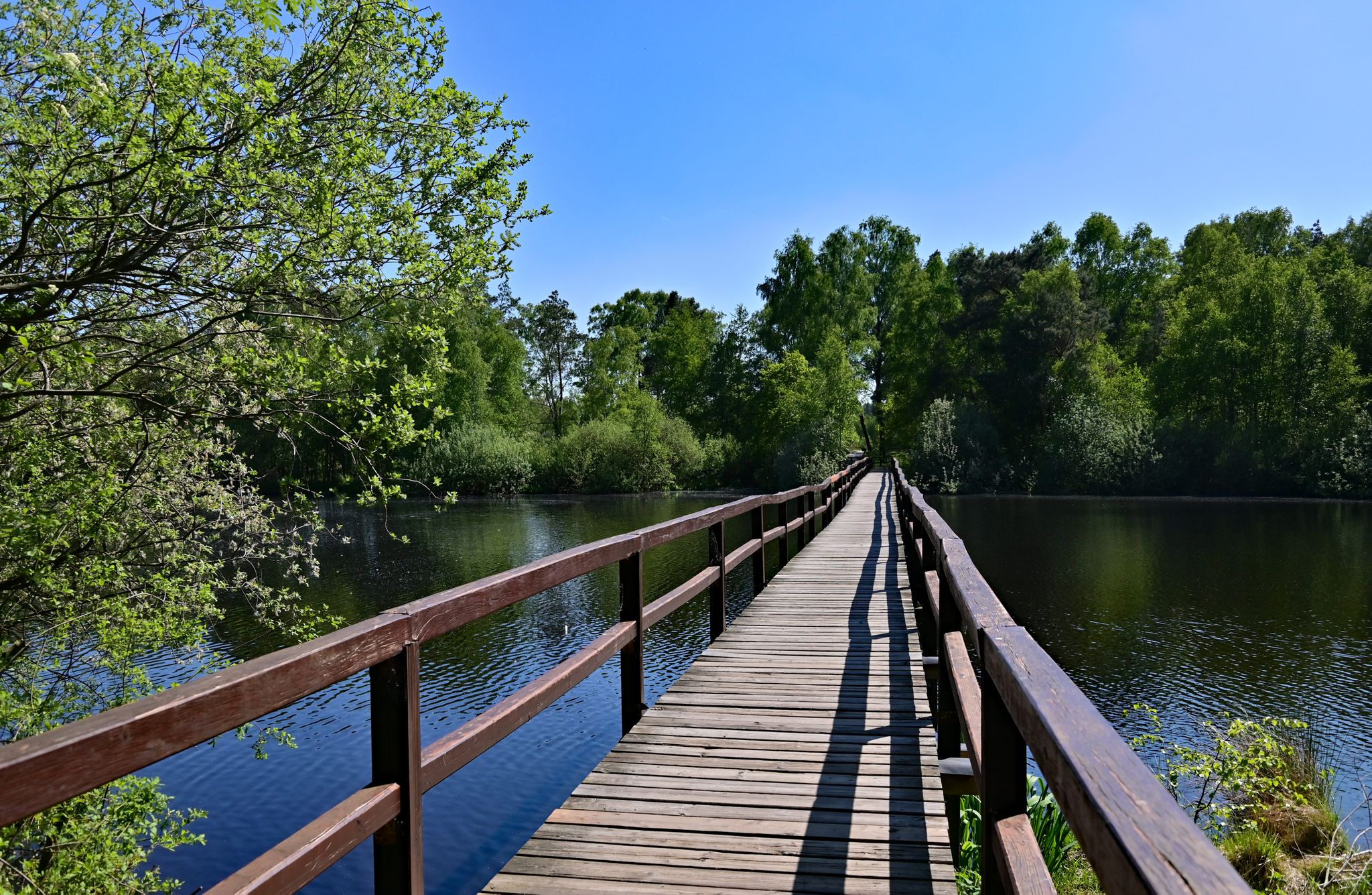
テュルスフェルダー・タールシュペレ ― 三つの橋の道
ハイライト • 湖
翻訳者 Google •
役立つ情報 は

今すぐサインアップして、こんな場所を発見しよう
最高のシングルトラック、ピーク、その他のエキサイティングなアウトドアスポットのおすすめを受け取ろう。
無料新規登録
Barneführer Holzのフンテ川沿い散策路
ハイライト (セグメント) • トレイル
翻訳者 Google •
役立つ情報 は

エスターウェーゲン周辺の移動砂丘とヒースランド
ハイライト • 自然
翻訳者 Google •
役立つ情報 は

アールホルナー養魚池群
ハイライト • 湖
翻訳者 Google •
役立つ情報 は

無料でサインアップして、さらに多くの自然記念物を発見しましょう ガルレルでの。
無料新規登録
すでにアカウントをお持ちですか?
無料アカウントで今日から始めよう
次の冒険が待っています。
ログインまたは登録
ガルレル周辺で人気
Rauf auf's Rad – Themenradtouren im Erholungsgebiet Thülsfelder Talsperre
ランウァイルド - ドイツ全国のトレールランニングルート
Radeln nach Zahlen - Knotenpunkttouren im Erholungsgebiet Thülsfelder Talsperre
Rallyespaß – Familienradtouren im Erholungsgebiet Thülsfelder Talsperre
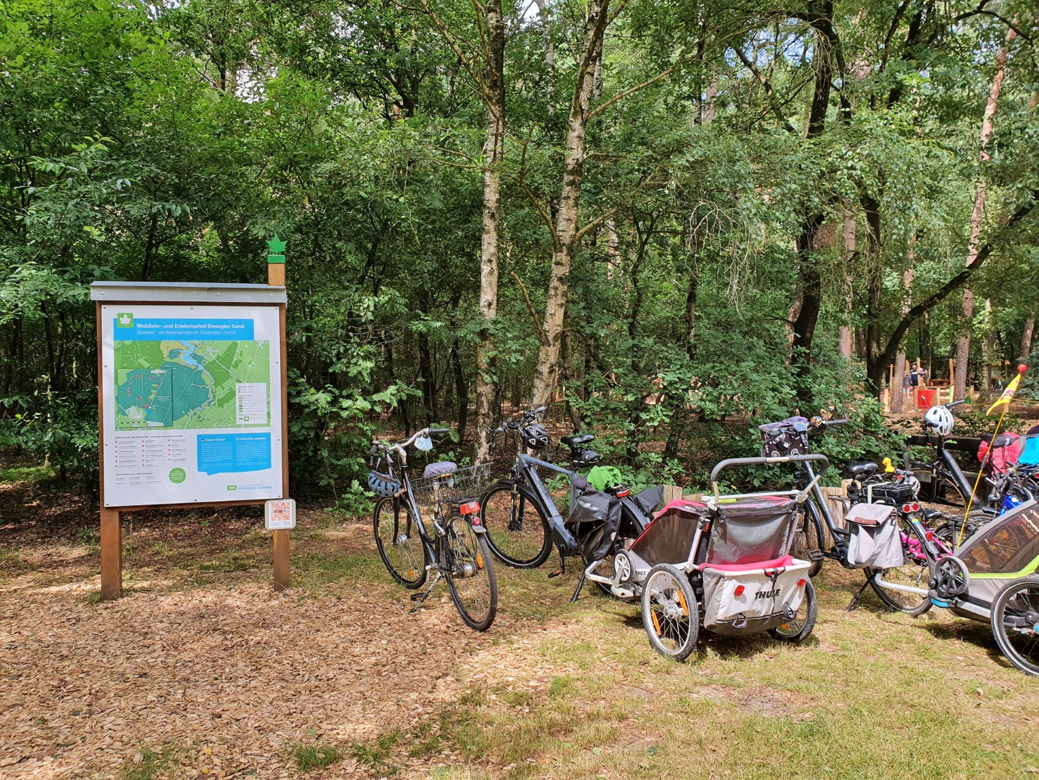
Lehr- und Erlebnispfade im Erholungsgebiet Thülsfelder Talsperre
ガルレルでのハイキング
ガルレルでのサイクリング
ガルレルのランニングコース
ガルレルのロードバイクルート
ガルレルのMTBトレイル
ガルレルでのの他の冒険


コミュニティからのヒント


Very beautiful heathland. The southern part urgently needs to be cleared of bushes, otherwise the heathland will become forest.
3
1

If you walk across this bridge, you walk across the large lagoon. Beautiful nature at the other end of the bridge
2
0
It is a beautiful place on this earth. It's incredibly fun to hike here. Great hiking dunes with wonderful nature 🍀
1
0

Local recreation area with great cycling and hiking trails and nice places to take a break.
6
0
Beautiful dam with great hiking and cycling trails
6
0

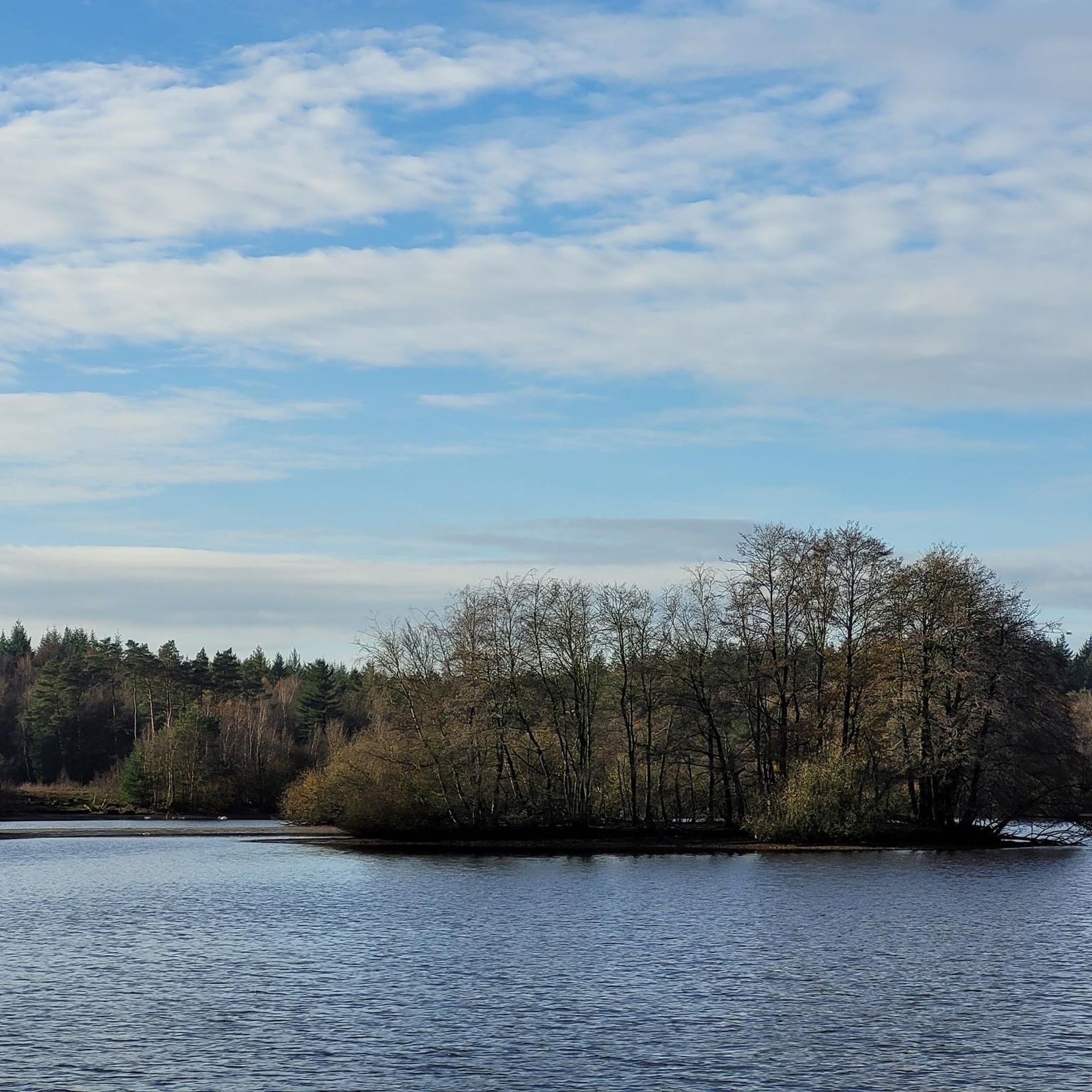
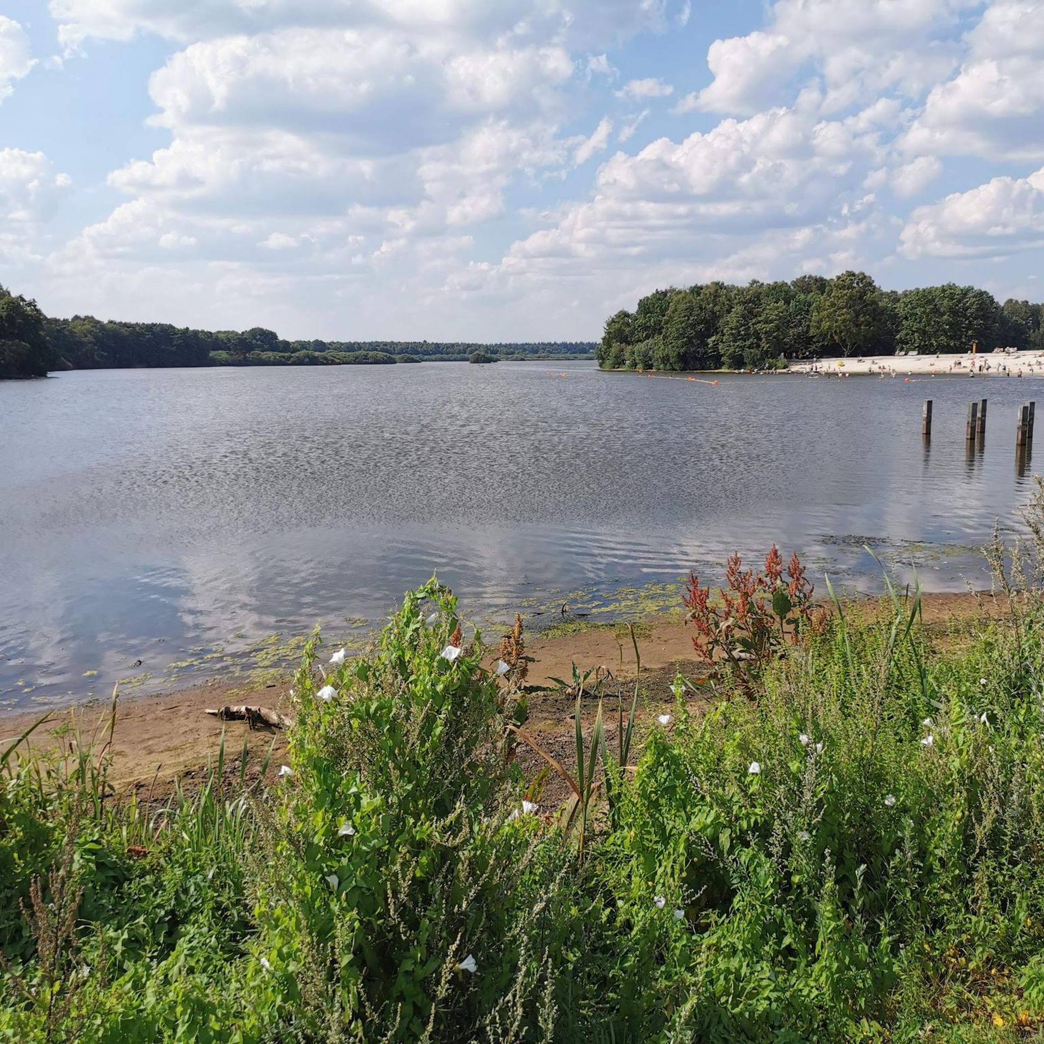
A small river becomes a nature conservation paradise The Thülsfeld Dam is a reservoir that was completed in 1927 and was created to regulate the water level of the Soeste River. During heavy rainfall, the meadows and fields in the region around Friesoythe often flooded, so the river was dammed by a 3-kilometer-wide dam in the area of a valley cut. Today the Thülsfeld Dam is a beautiful nature reserve with a water area of 170 hectares and can be easily circumnavigated on well-developed hiking trails. You hike through extensive forests, heath areas and sand dunes, cross wooden bridges and marvel at the lagoons, reed belts and swamp areas on the west bank. The path around the Thülsfelder Dam is about 10 kilometers long and you can start your exploration on foot or by bike from several free park areas.
11
1

There are many paths to explore along the fish ponds. There are also some rest stops and small beaches. The area and the forest are very nice and quiet.
3
1
ガルレルでのの人気観光スポット

komootモバイルアプリでインスピレーションを得よう


さらに探索
これらのガイドで、最高の洞窟を探す範囲を広げましょうガルレルでの:
