クライン・ヴィッテンゼーの天然記念物・トップ20
クライン・ヴィッテンゼーが誇る美しい風景を見てみたいなら、クライン・ヴィッテンゼーの素晴らしい天然記念物・トップ20
に行ってみましょう。あなたにぴったりの場所が見つかるよう、素晴らしい天然記念物を探索するために必要なすべての情報を集めました。次のアウトドアの冒険に出かける計画の参考にしましょう。
最終更新日: 8月 31, 2026
ヴェーゼビーでのグローセ・ブライテの眺め
ハイライト (セグメント) • 展望台
翻訳者 Google •
役立つ情報 は

ヴィンデバイアー・ノール
ハイライト • 湖
翻訳者 Google •
役立つ情報 は

今すぐサインアップして、こんな場所を発見しよう
最高のシングルトラック、ピーク、その他のエキサイティングなアウトドアスポットのおすすめを受け取ろう。
無料新規登録
ゾルクヴォルダー内陸砂丘
ハイライト • 自然記念物
翻訳者 Google •
役立つ情報 は

ラムゼー湖の避難小屋
ハイライト • 山小屋
翻訳者 Google •
役立つ情報 は

ハイドベルク山頂とトレイル
ハイライト • 山頂
翻訳者 Google •
役立つ情報 は

無料でサインアップして、さらに多くの自然記念物を発見しましょう クライン・ヴィッテンゼーでの。
無料新規登録
すでにアカウントをお持ちですか?
無料アカウントで今日から始めよう
次の冒険が待っています。
ログインまたは登録
コミュニティからのヒント

Beautifully situated on the Rammsee lake... if necessary, you can certainly find a place to rest for the night here.
2
0

Beautiful hike in August when the heather is in bloom.
0
0


The deepest point of the Windebyer Noor[2], at 13.6 metres, is in the north of the lake near the Eckernförde district of Carlshöhe; in the middle, the lake is eleven metres deep. The water of the Windebyer Noor is slightly saline (in different places between over one and a good two PSU[3]). Bulges of the Windebyer Noor are called Schnaaper Bucht (Snap Bugt), Norderhake (Nørrehage), Süderhake (Sønderhage), Südbucht (Sydbugt)[4] and Kochendorfer Bucht.[5] The Norderhake was the connecting arm of the Windebyer Noor to the Eckernförde city harbour.
0
0
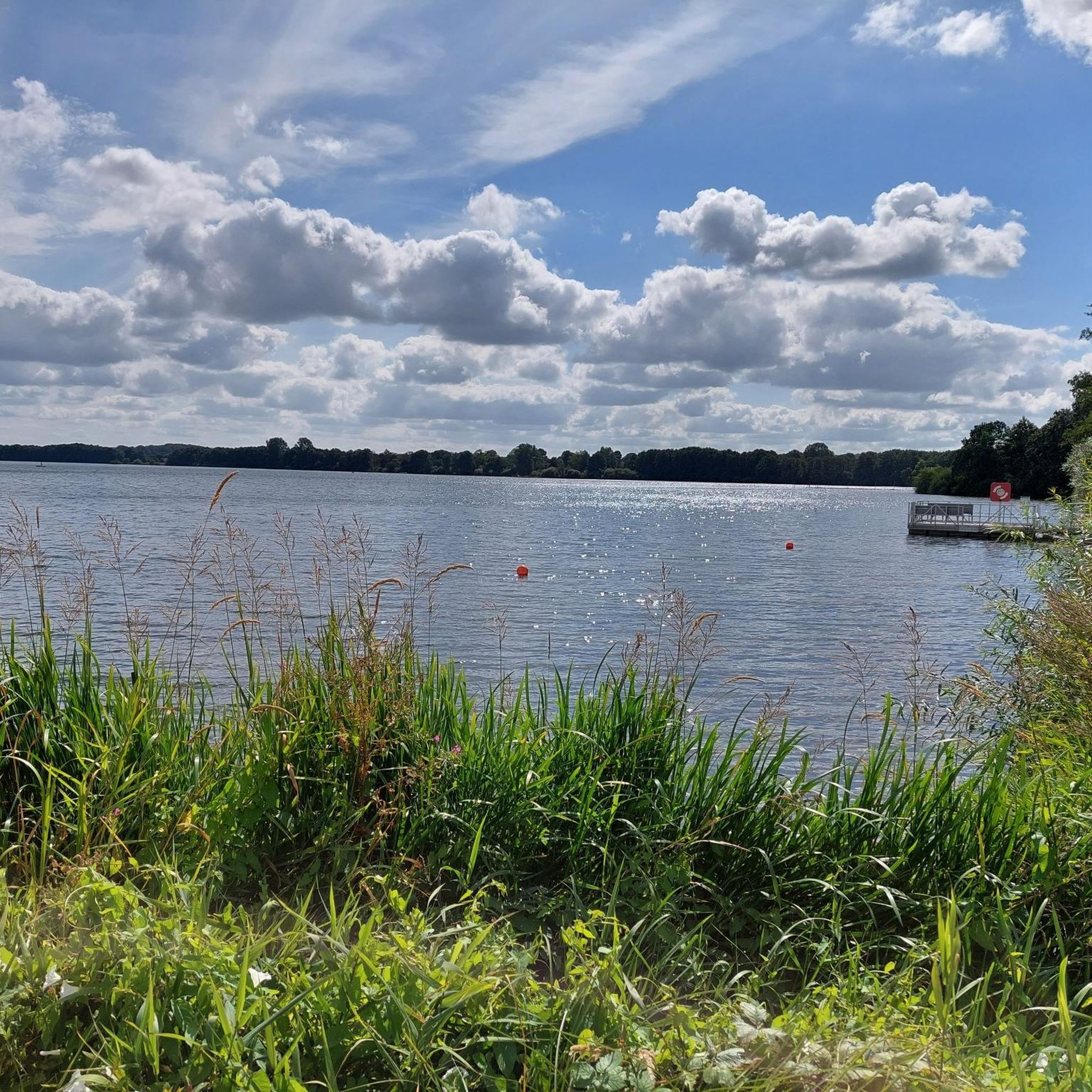
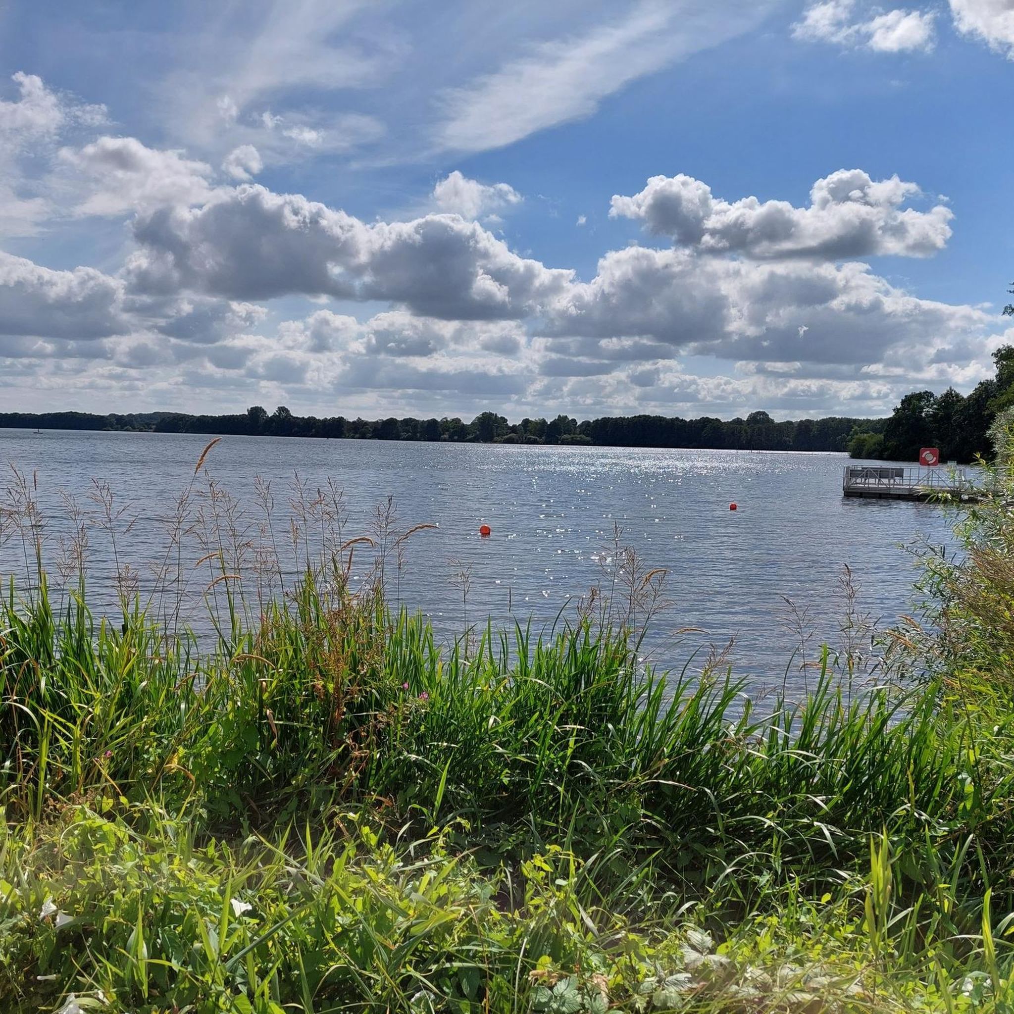
The Windebyer Noor (obsolete: Eckernförder Noor, Schna(a)per Noor and Goos-Noor; Danish: Vindeby Nor, Low German: Winnebyer Noor, Winneby-Noor) is a 389 hectare inland lake in Schleswig-Holstein. It is located on the western edge of the town of Eckernförde, to whose municipal area it belongs. To the south and west, the eponymous municipality of Windeby borders the shore of the lake. Former residents of the lake were the municipality of Borby until its incorporation in 1934 (Borby exclave Schnaap) and the municipality of Gammelby until 1973 (Grasholz).
0
0

Beautiful sheltered rest hut directly at the Rammsee.
1
0

Very nice new shelter at the Ramsee. The benches are so wide that you can comfortably take a nap ;-)
2
0

The Sorgwohlder inland dunes near Owschlag have been a nature reserve along the Sorge lowlands since 1936. It extends from Sorgwohld in a northeasterly direction. The dunes were formed in the late and post-glacial periods around 12,000 years ago. A constant ice wind blew the sand from the erosion edges, created by meltwater that had severely eroded the Owschlager Sander in Sorgetal, into mighty dunes. Today it can be assumed that parts of the Sorgwohlde inland dunes have been almost devoid of vegetation since the Ice Age. Humans have cultivated this landscape through grazing and farming since around 1000 AD. fundamentally shaped. The farmers in the sandy areas used the soil removed by pests to litter the stables and then fertilize their one-sidedly cultivated fields. Plowing and removing heather and other ground litter removed nutrients from the soil. This meant that the heather was always able to sprout new crops and germinate its sun-loving seeds better. The Ochsenweg also had an influence on the area. At Sorgwohld he crossed the worry. Large storage areas had to be available at such water points. The cattle kept churning up the ground. The Sorgwohlder inland dunes with their heaths and silver grass and lichen meadows, which are unique to Schleswig-Holstein and are home to a number of insects and spider species that are threatened with extinction. You can find further detailed information about the Sorgwohlder inland dunes here: http://www.owschlag.info/BUND/binnenduenen.htm
3
0
クライン・ヴィッテンゼーでのの人気観光スポット

komootモバイルアプリでインスピレーションを得よう


さらに探索
これらのガイドで、最高の洞窟を探す範囲を広げましょうクライン・ヴィッテンゼーでの:
